Githens Mountain in the Clackamas River drainage is a short, one mile hike and only about 500 feet of gain. It can be activated along with nearby Tumala (Squaw) Mountain from the same trailhead. Finding the summit may require a GPS, as it's not on the trail and isn't particularly distinct.
The trailhead for this summit is off of paved Forest Road 4614 near 45.2460, -122.0508. These directions will get you to the trailhead:
Three miles past the 211 junction with 224 in Estacada, take a left onto SE Fall Creek Rd, the next left onto SE Divers Rd, and then right onto SE Tumala Mountain Rd. Go 5.8 miles on this road, heading east, then turn right to keep on SE Tumala Mountain Rd. After 0.6 miles it changes to NF-4614 and continues east. Go 6.7 miles to find a small turnout for the trailhead at the coordinates above. There are painted signs on the rocks at the trailhead. If you find yourself at a dead end, you've probably gone a mile too far on NF-4614. Although the road is paved, there are some very nasty potholes!
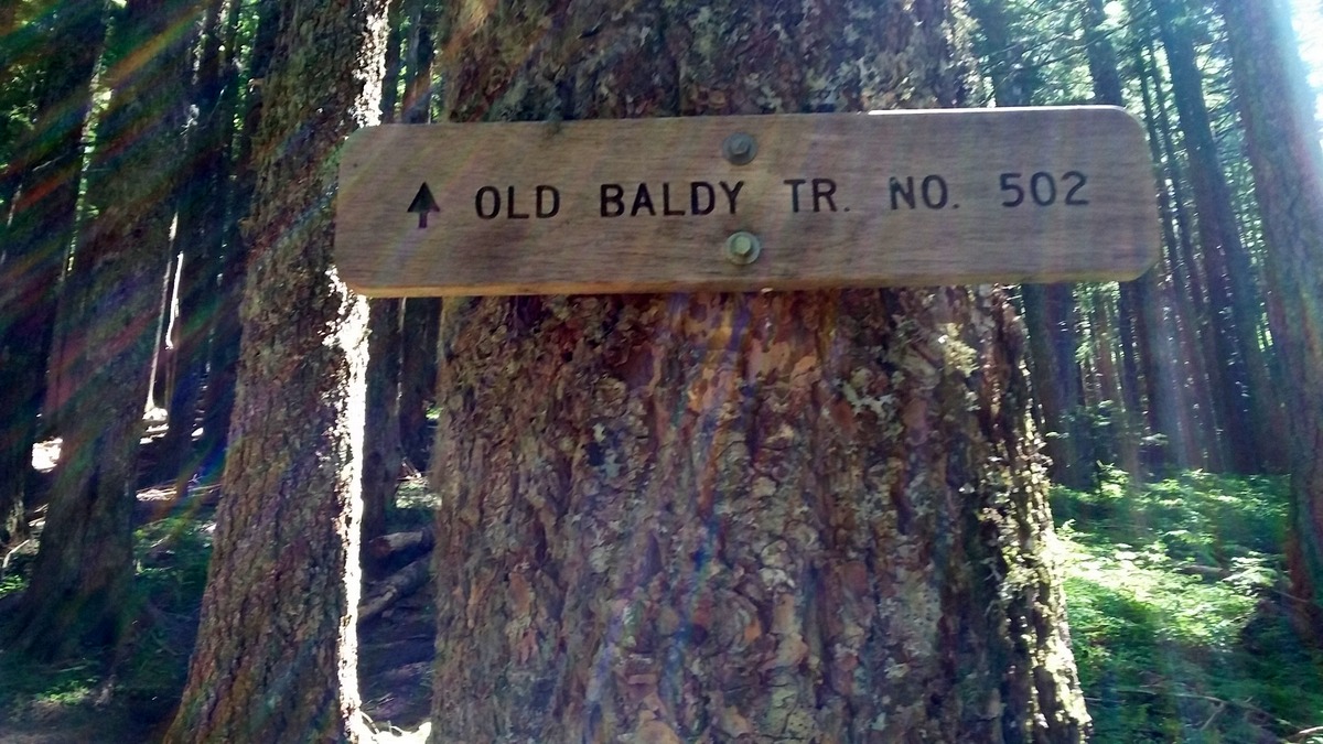
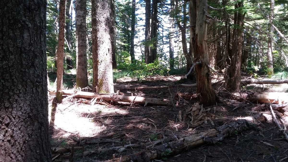
Head northwest on Old Baldy Trail #502 (to he left) - it runs alongside the road for a short distance and then takes off into the woods. After about a mile you'll be very near the summit of Githens Mountain - the trail reaches a high point on the shoulder of the summit. To reach the summit proper, you'll need to head north off the trail about a tenth of a mile. This is where a GPS would be very, handy. The summit has many trees and no view. The trail is described here: http://www.fs.usda.gov/Internet/FSE_DOCUMENTS/stelprdb5376144.pdf.
Tumala Mountain is reached by the same trailhead.