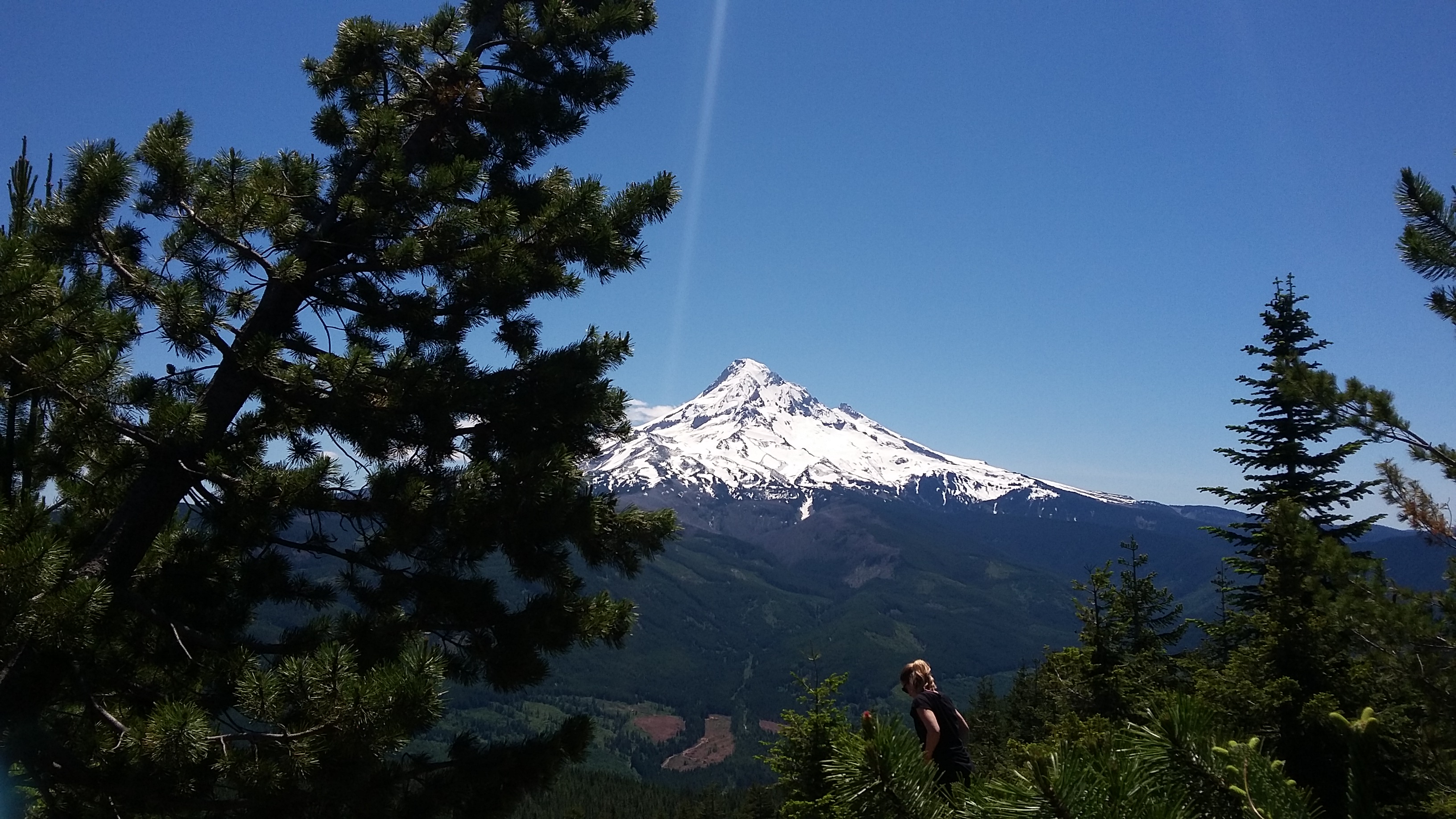
This is a nice hike of 1100 feet on a well-graded trail of about 4.8 miles round trip. It can be busier than most as it's next to Lost Lake Resort and has spectacular views of Mount Hood. Follow the directions to Lost Lake Resort here (or other places): www.nwhiker.com/MHNFHike12.html.
You find a 'free parking' trailhead: near 45.501° -121.817°, just to the left within view of the gatehouse for Lost Lake Resort. You can also pay the fee for parking in the resort and hike the trail from there - the trailhead is well marked from the Resort.
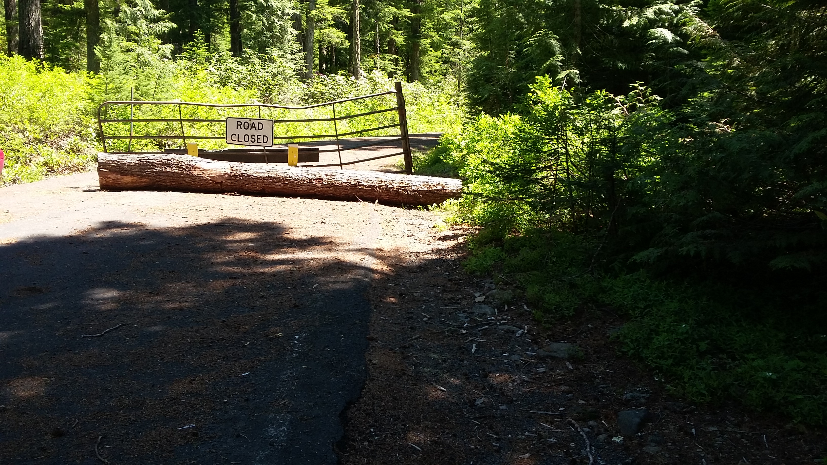
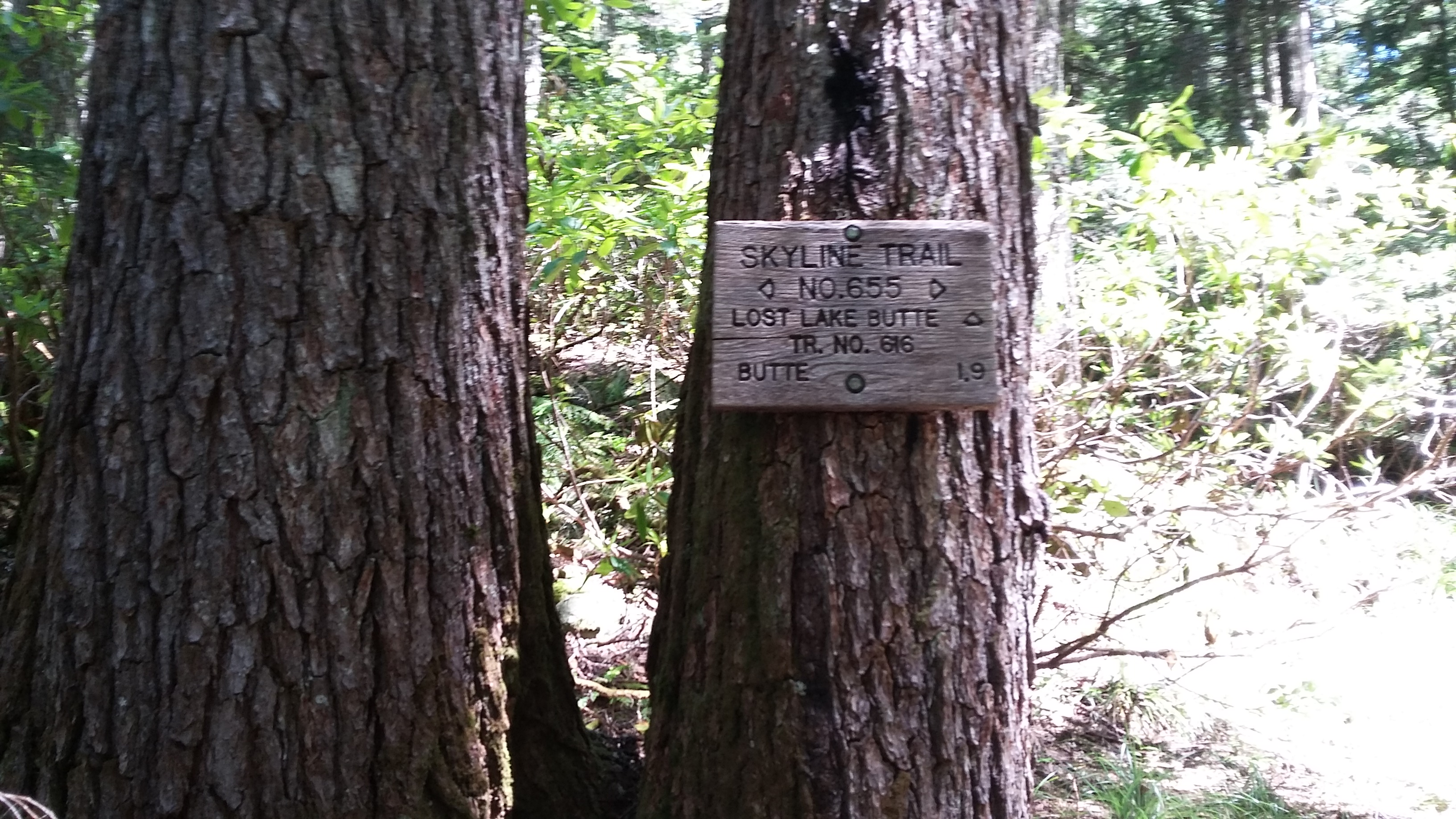
Proceed up the road from the 'free' trailhead and follow the curve left when it turns to gravel. Watch carefully for a trail that crosses diagonally just after the curve - take the right hand up-hill path (#655) about a half-mile to where it crosses the Lost Lake Butte Trail #616. Turn left and uphill here and proceed to the summit. There are a few different places to activate on top - the best views and places to sit at the the end of the summit ridge and will also be the most popular with other hikers but there are other places just as suited for antennas and activating.