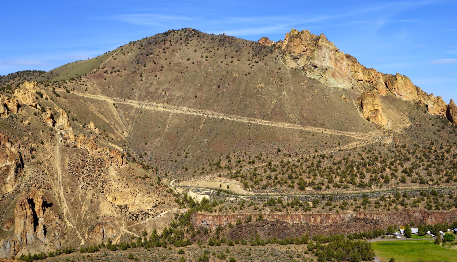
Burma Road High Point is accessed through Smith Rocks State Park, near Terrebonne, Oregon. An Oregon State Park day or annual pass is required.
From the Park you’ll head down the Canyon Trail and across the bridge over the Crooked River (about 0.3 miles, depending on where you park your car). Head east on the Wolf Creek Trail along the river, heading north and then back south for 0.9 miles. You’ll head up a trail about 0.2 miles to intersect Burma Road where an irrigation canal exits the slope near 44.3727°, -121.129°. Burma Road makes a long switchback and after 0.9 miles you’ll go right up a steep trail heading towards the summit. Near the ridge top bear right to the summit proper where there are a few small trees and some spots to sit. Total elevation gain from the river is about 600 feet.