Crescent Butte should be a simple drive-up just off Highway 97 south of La Pine about 17 miles. The roads in the area are quite confusing, and the main track is quite dusty in the summer. Thoughtful consideration of these directions and Google Maps is recommended.
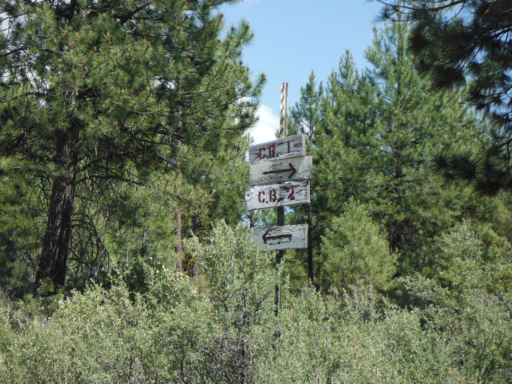
Head south on Highway 97 to Gilcrest – the main street appears to be Mountain View Drive - head east on Mountain View about 0.2 miles to Hillcrest Street where you go about 0.4 miles south and “out of town” as the road turns to gravel and you then make a sharp left onto a dusty road. Maybe 0.6 miles later, you’ll come to the second intersection, go right towards the CB 1 sign on the righthand most road. Dusty but passable over 2.1 miles all the way to the summit. Well, dusty in dry weather, perhaps impassible mud when wet. Not suitable for Prius and some passenger cars.
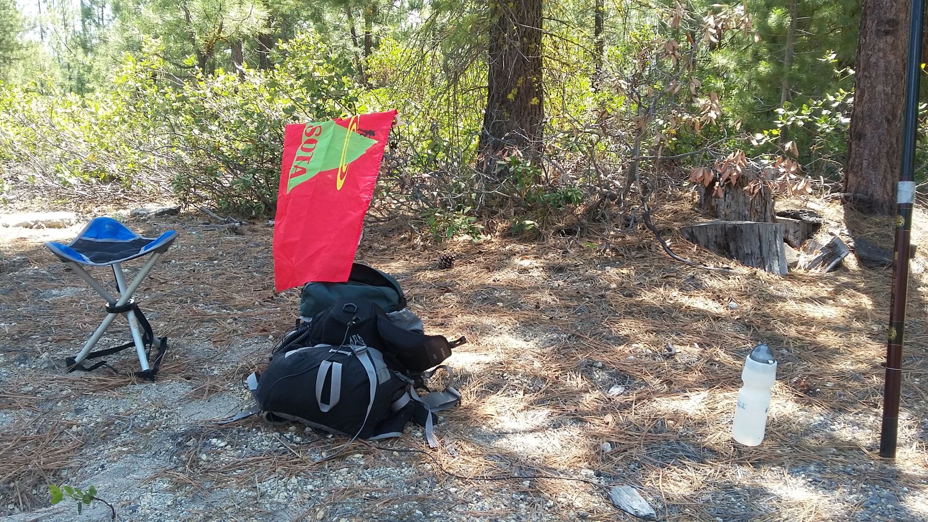
There appears to be one right road and many wrong roads to the summit. Do not be tempted to follow your GPS as the power line access roads and other “roads” that lead “towards” the summit are narrow and steep. There are substantial RF sites at the top – no RF interference was noted on HF - - however there was severe powerline noise. We moved about 50 meters away from the power pole and things were quiet. No 2m FM contacts were made.