Here's another summit in Crater Lake National Park that accessed with a cross-country hike. The easiest ridge for ascent is near the angle of repose with loose red pumice-like scree on the upper slopes, giving Red Cone its name. Although only about 2.5 miles round trip, half of the 600 feet of gain is in the last quarter mile.
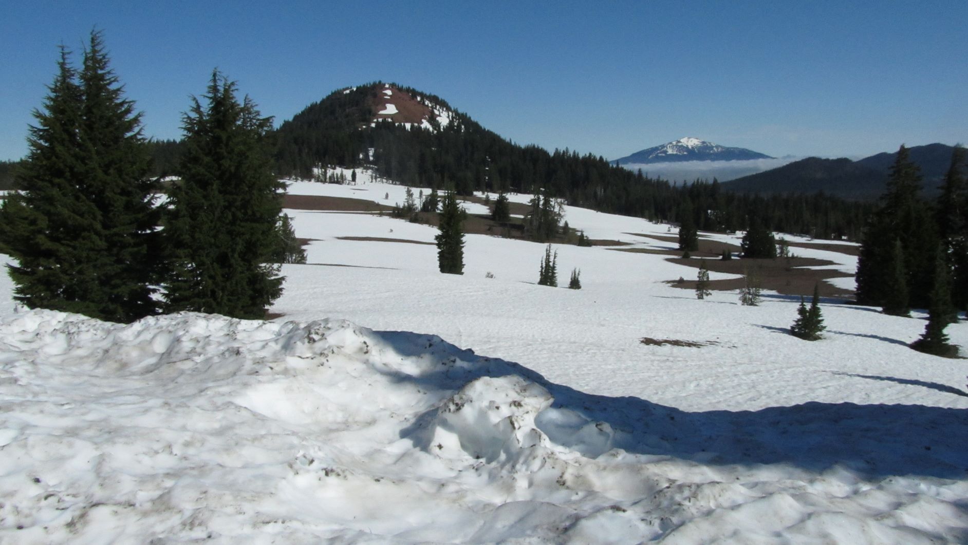
The park is open year-round from the south, but the Rim Road is closed due to snow from about September until late June. In 2017 the North Entrance opened June 23 and the West Rim Road was only open during the day due to road construction. About 6.8 miles from the North Entrance Gatehouse we parked near 42.985° -122.149° where there is a small gravel pullout. This is about 1.2 miles from the summit and a pretty straight shot across meadows and up the ridge. There were some snow fields to cross this early in the year and we stayed off the steep snow patches. There are trees on the summit for supporting antennas and providing a bit of shade when you get into the Activation Zone. We worked one on 2m FM mobile in Grants Pass about 50 miles away, so you might try a call on that band as well as HF.
Remember that this is a national park and that everything is protected - trees, rocks, soil. No tying antennas to trees or putting stakes in the ground.
See pnwsota.org for other Crater Lake summits. And note that access to nearby Llao Rock W7O/CS-011 is closed - even though this was a big snow season and the road had just opened, there was still not enough snow to meet the one foot of continuous snow coverage requirement for access to the Activation Zone. It looks like that summit will need to be done in the depth of winter before the park opens fully.