Lookout Mountain is a lovely hike of about 1.75 miles (OW), close to Round Mountain-W7O/CE-045 so you might consider doing both of those peaks. Note that there are MANY Lookout Mountains - this one is east of Prineville.
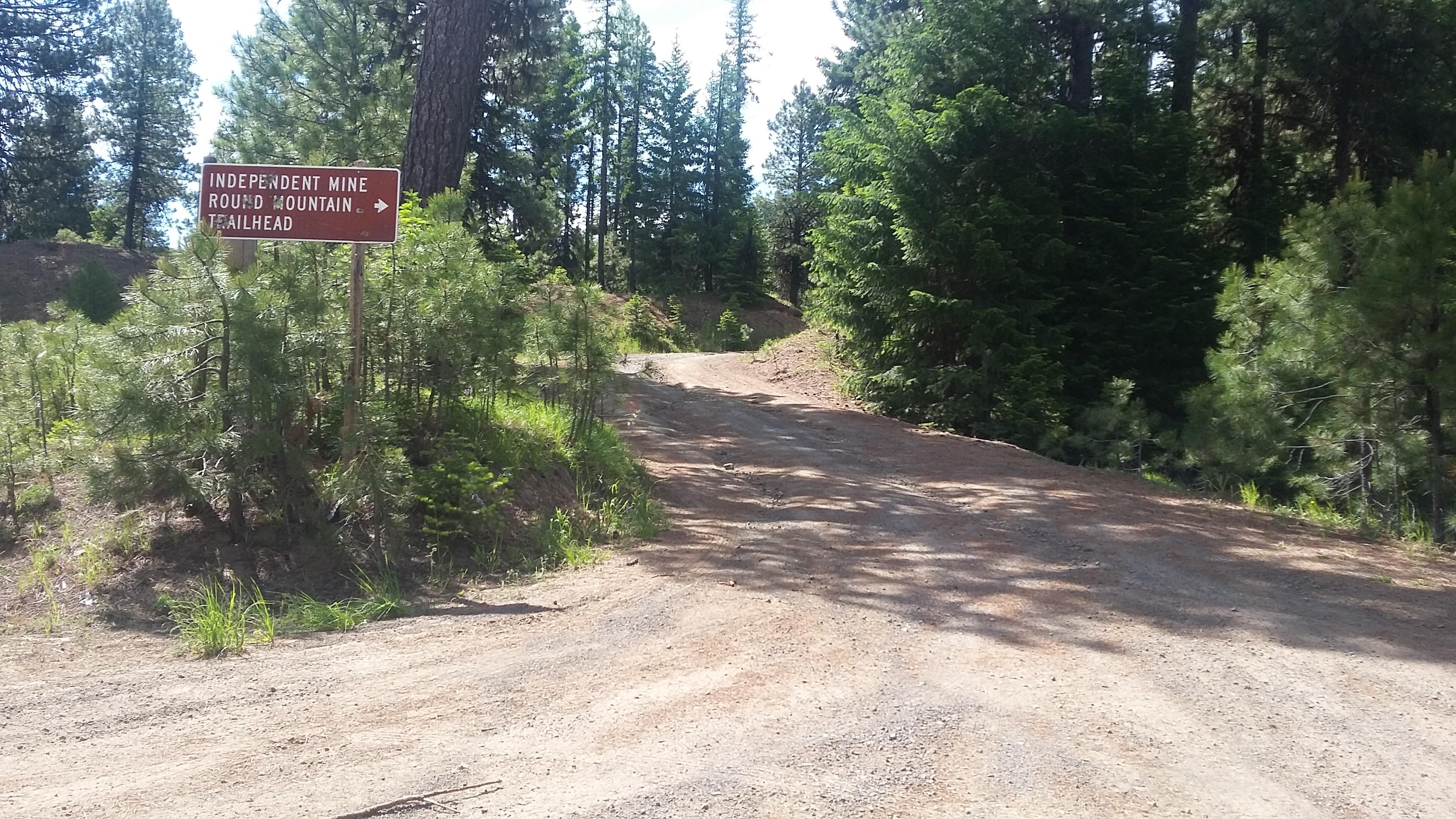
Head about 16 miles east of Prineville on Highway 26 to Ochoco Creek Road, a slight right turn. Go 8.3 miles to Ochoco Ranger Station, and then bear right onto Canyon Creek Road for 6.8 miles where you'll note the turnoff for Lookout (signed Independence Mine and Round Mountain Trailhead).
There are several trailheads for Lookout Mountain - you passed one close to the Ranger Station - the Lower Trailhead is 8-miles to Lookout Mountain on Trail #804. The Upper Trailhead meets at the first parking area off Canyon Creek Road for about a 4-mile hike. These directions are for the Mother Load Mine Trail of 1.75 miles one-way.
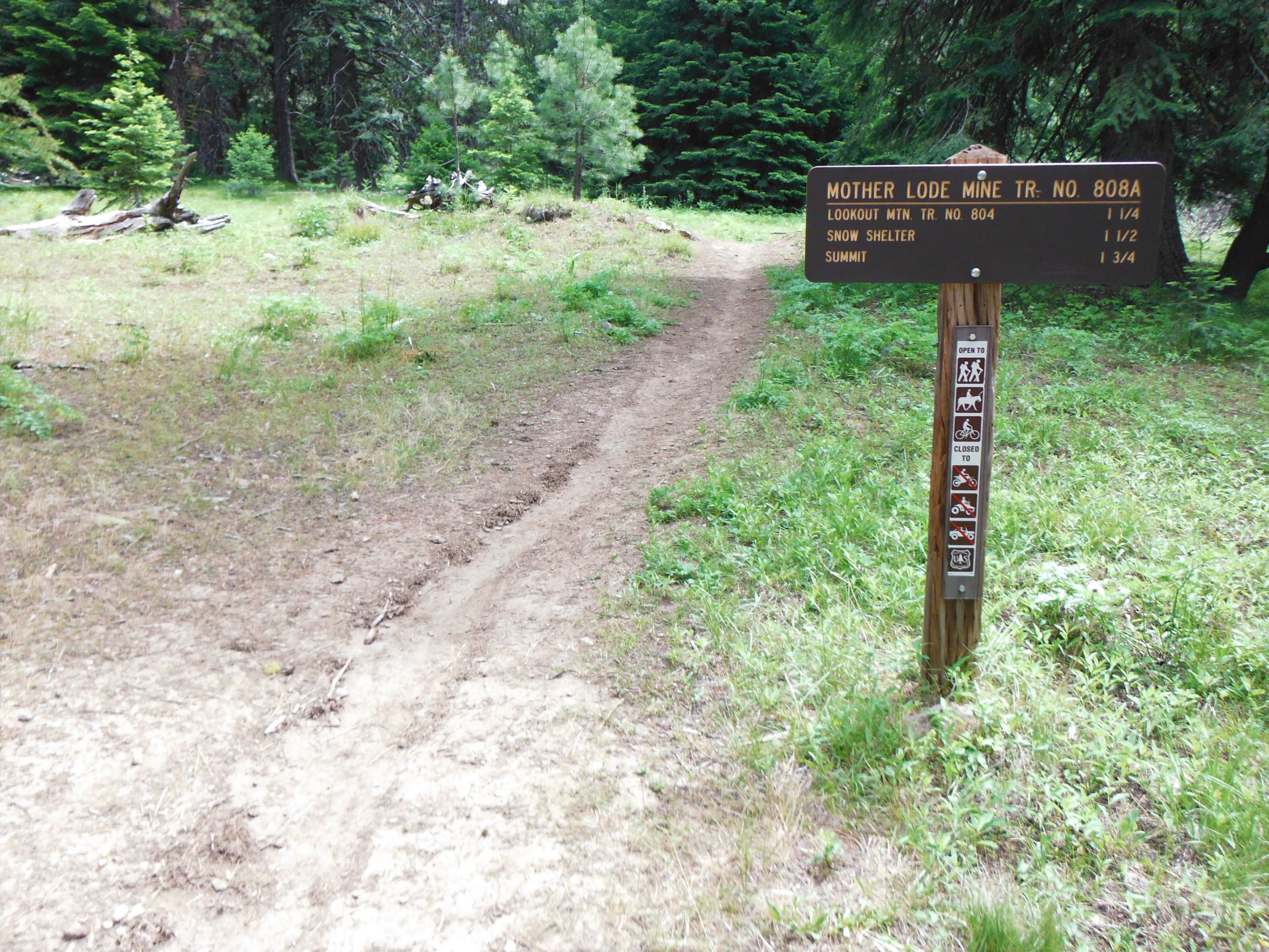
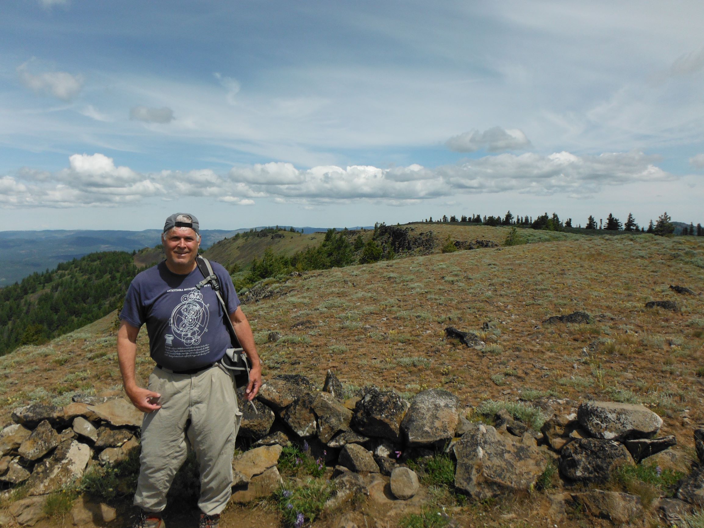
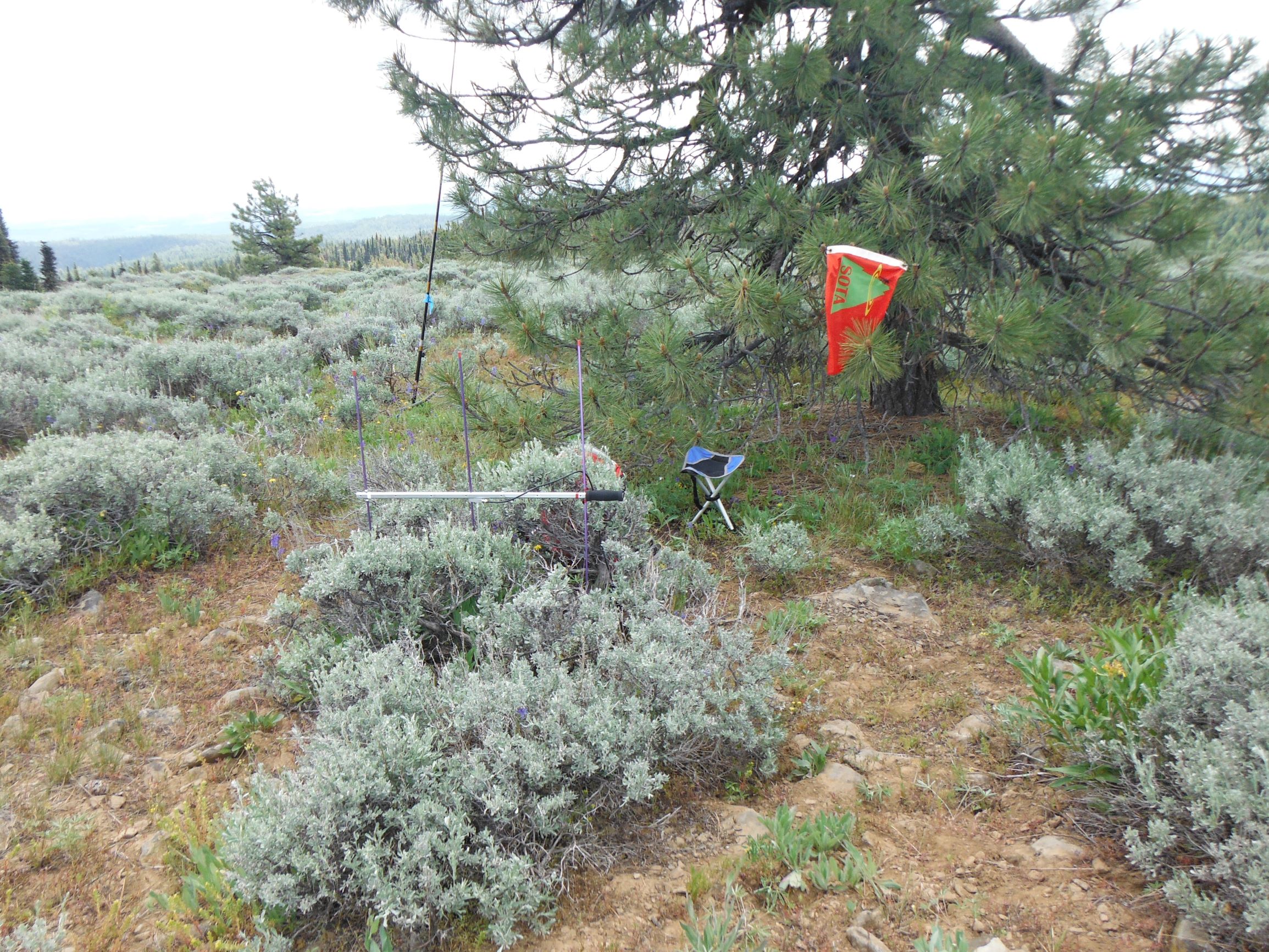
From the turnoff at Canyon Creek, head up 1-mile where the road ends and there is parking for about six to eight cars. This road is rough in places but should be navigable in a thoughtfully driven passenger car. Here you'll find the Mother Load Mine Trail #808A that offers the most direct approach to the summit. The trail is lovely and well graded. The summit is open with great views in all directions and mostly tree-free, but there are several trees not far from the summit proper if you need an antenna support. You may be able to work some folks on 2m FM - try 146.52, .50 and .58 or solicit on a local repeater.