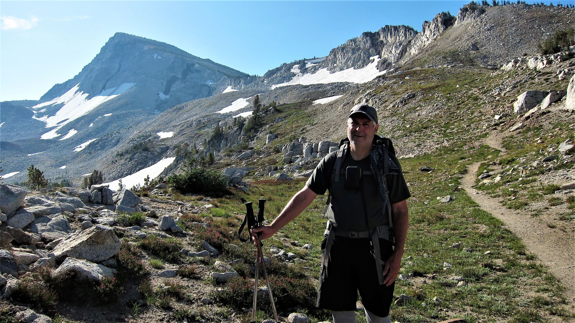
Eagle Cap is a gem of the Eagle Cap Wilderness of the Wallowa Mountains of Northeast Oregon. We approached from Lostine, Oregon for a total hike of about 20 miles (32km) round trip and 4,000 feet of gain (1220m). The trail is rocky in places and often steep. We enjoyed an overnight stay in the Lakes Basin with a side trip to Eagle Cap. Only some of the 19 ten-point summits in the Wallowas have an established trail - this peak is very approachable, despite the long hike required.
Get yourself to Lostine, Oregon and look for Lostine River Road on the south side of town. This will eventually change to decent gravel with many camping opportunities along the road. This Forest Road, NF-8210, ends at Two Pan Trailhead (5,700 feet elevation-1740m)) where a Northwest Forest Pass is required. Also required is a self-issued wilderness permit for your party. There's a privy at the trailhead and not enough parking spots for busy weekends.
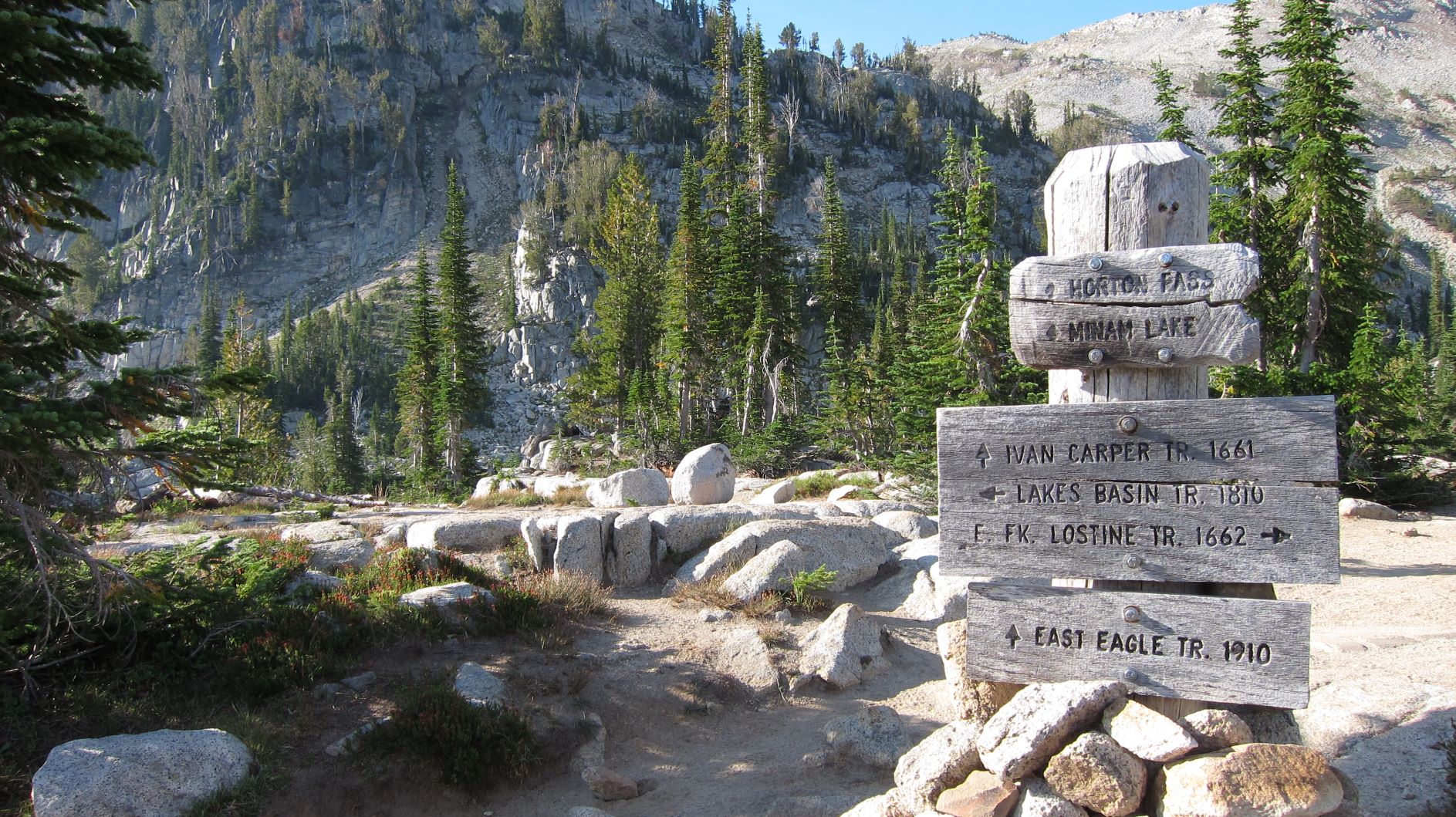
Start out on the East Fork Lostine River Trail #1662. This is 7.1 miles (11.4km) and 2,000 feet of gain (610m), with lots of ups and downs along the way. There are stock on the trail as well - be prepared to yield to horses. There are two river crossings on bridges - the second looked sketch but was really no problem.
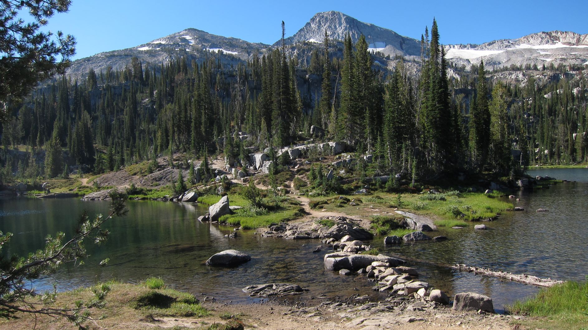
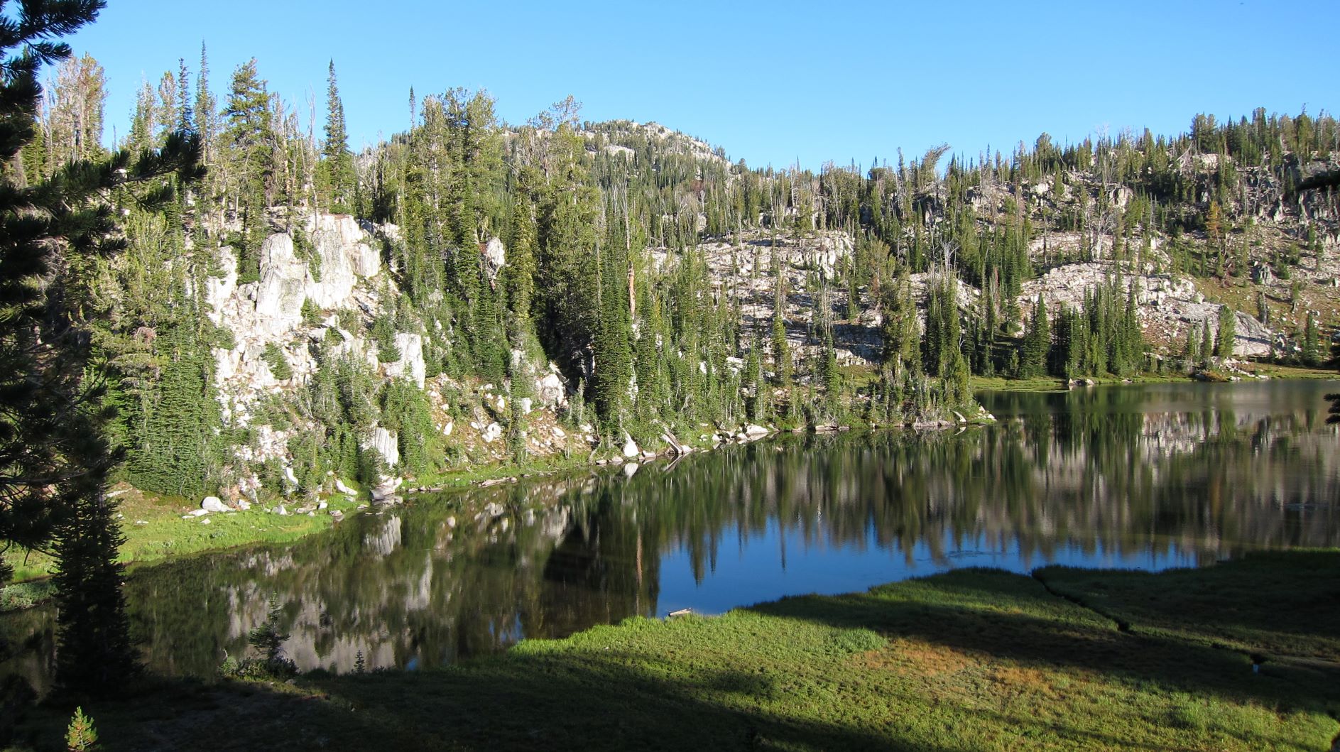
If you'll be camping overnight, Mirror Lake (about 7,600 feet) is another 0.2 miles from the trail junction with the East Eagle Trail #1910. A Ranger we met was moving people away from campsites too close to the lake - there are many within 100 feet on the lake side of the trail that are only suitable for day use. This can be a very busy place on a holiday weekend. We enjoyed the quiet of Moccasin Lake about a mile farther east from Mirror Lake.
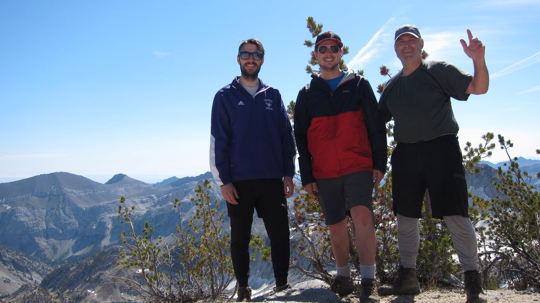
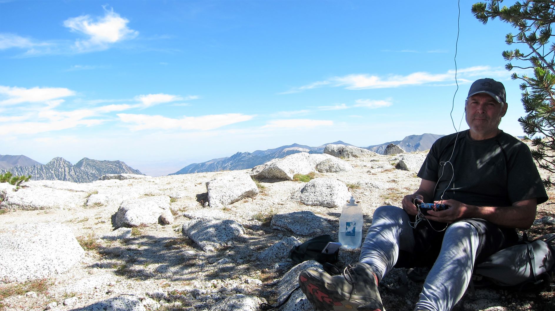
To continue to Eagle Cap, take the East Eagle Trail #1910 and then the Eagle Cap Summit Trail #1805 for a total of 2.7 miles (4.3km) and 2,000 feet of gain (610m). The large summit has smallish trees that I used to support an EFHW and with spotty Verizon coverage, was able to text to SOTAWatch and get 8 contacts on 20m CW - I also called CQ on 30m and 17m but was not picked up by the RBN. There have been some 2m FM contacts in the past - soliciting on the Mt. Howard repeater might help to make four simplex contacts.
Hover your cusor over the photos for a caption - thanks to my sons for making this an awesome expedition!
You might also check out these videos from 2011 that included the first activations of Eagle Cap: