Flattop Mountain is a drive-up for those with capable high clearance vehicles. And maybe for those ready to buy new tires - which was required of us - as the road was steep with sharp rocks.
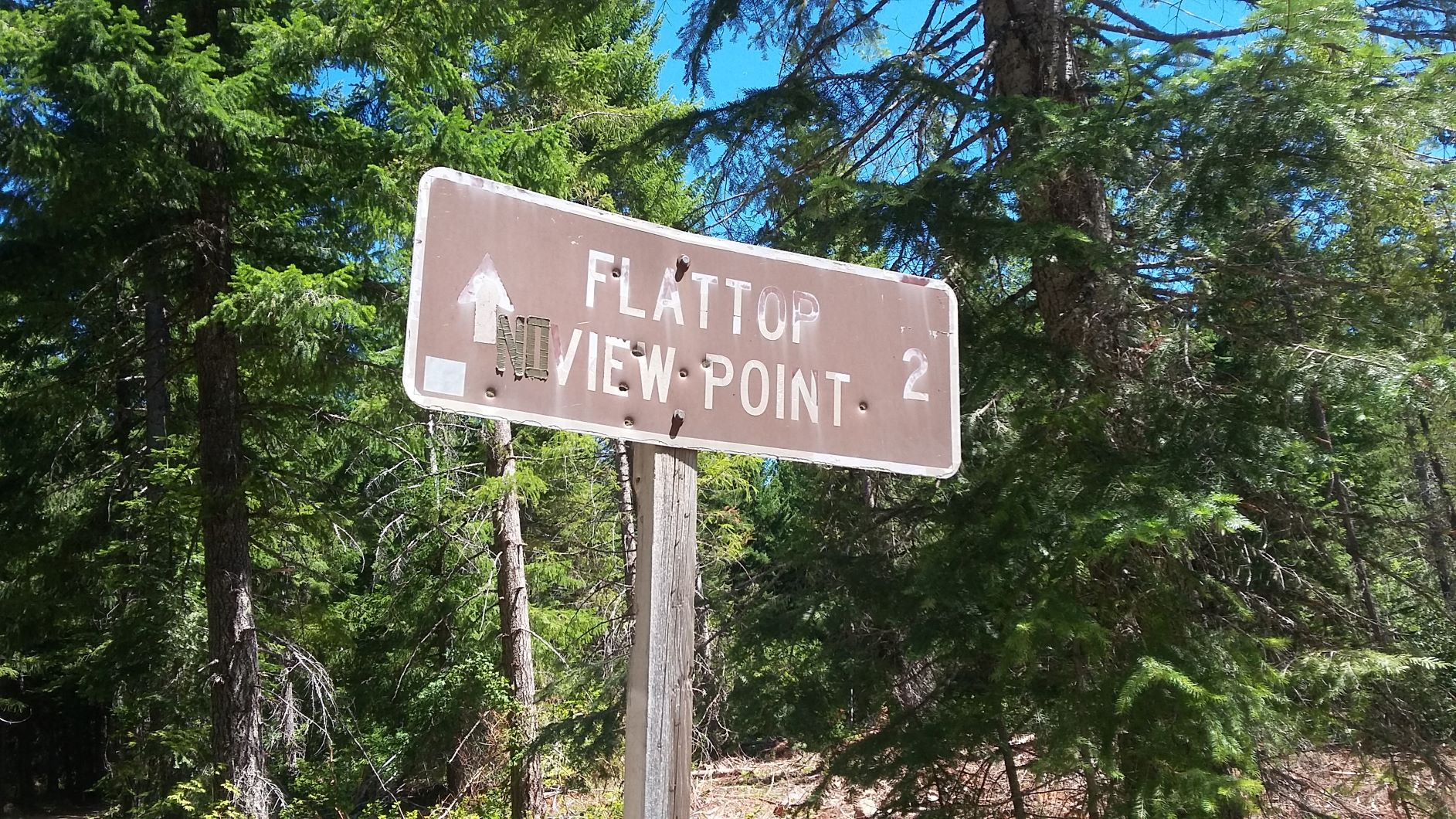
Flattop is between FS-23 and FS-24, northwest of Trout Lake, Washington. Using the FS-24 approach, we traveled west on Highway 141 from Trout Lake and then north on FS-24 3.7 miles to FS-8821, heading towards the east. FS-24 is well-graded and recently graveled in excellent condition - FS-8821 has a few significant potholes and is a bit narrow in places but isn't a challenge for a Subaru. You'll go about 1.8 miles and then go to the right onto FS-091. After a bit you'll see a sign saying "Flattop View Point 2" but we only went about 1.7 miles before finding ourselves among tall trees and a few RF sites. It seems the road continues on a bit past the AZ where we stopped, to a potential view point, but it seemed doubtful with all the trees. The last bit of road was quite steep in places with no turnouts - we were happy to only see other vehicles at the top.
There was no RF QRM from the radio sites that we activated near, nor power line noise on HF. Here's info on the fire lookout when there was a good view: http://nhlr.org/lookouts/us/wa/flattop-mountain-lookout/