Any opportunity to hike the Pacific Crest Trail for SOTA is a welcome one - and this may be one of the best we've experienced of this lovely national treasure of a trail. While only a bit less than five miles round trip and 1000 feet of gain, there is a challenging steep bushwack (Mode Sanglier - On!) that takes a bit of the shine off of the trail experience. A GPS will be important to successfully identifying the edge of the AZ.
We approached the PCT #2000 crossing of NF-24 from Trout Lake via NF-23 and NF-88 to enjoy a mostly pavement driving experience. This is an opportunity to have a map with you or to rely on your GPS. This is traversable by any passenger vehicle. You could also take the well-graded and graveled NF-24 from Trout Lake via 141.
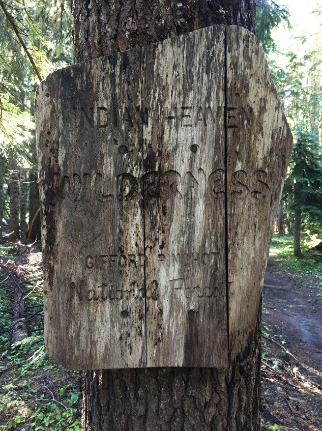
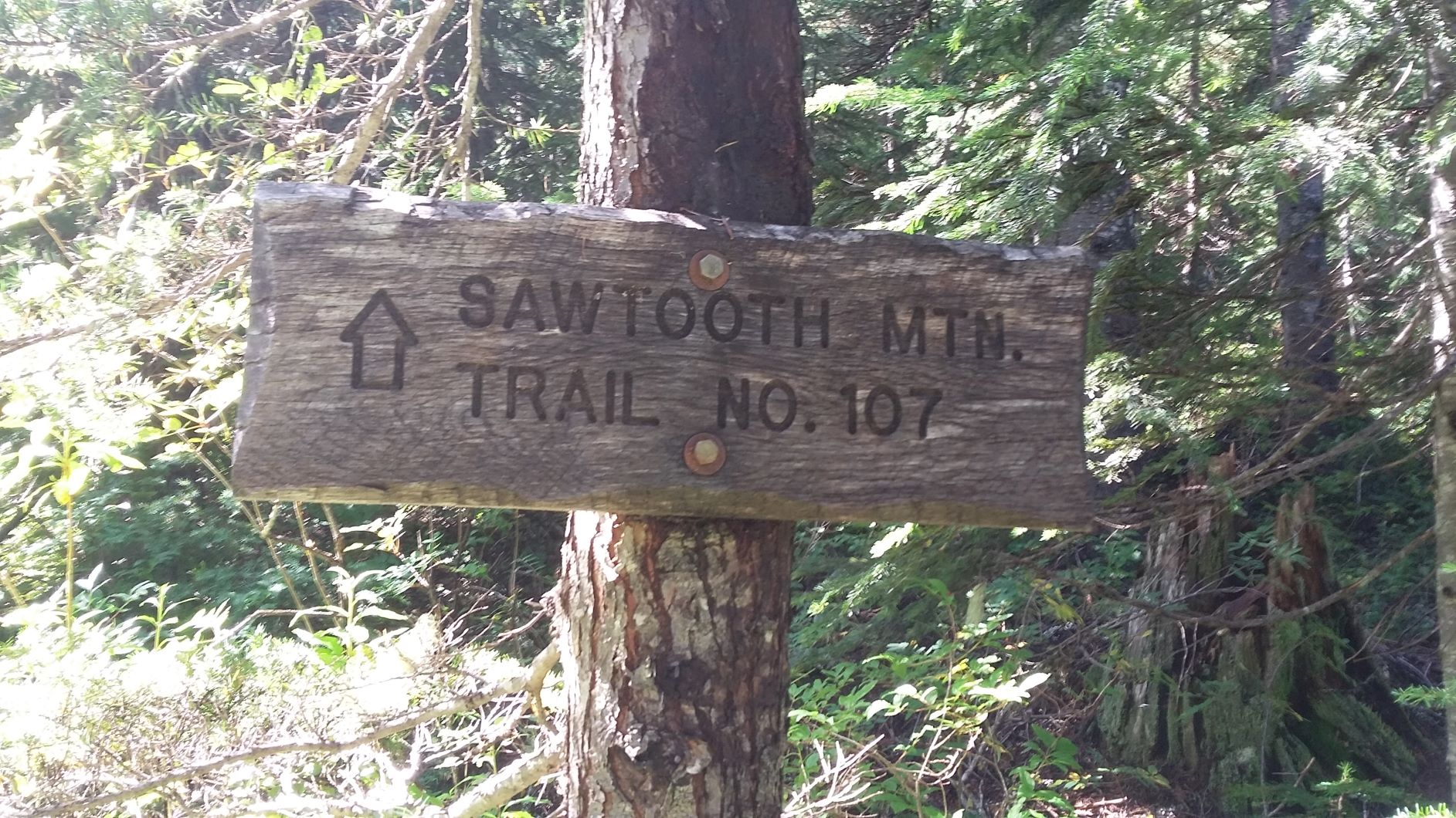
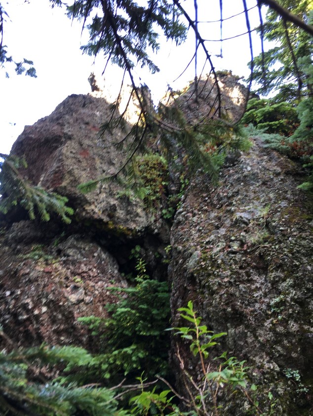
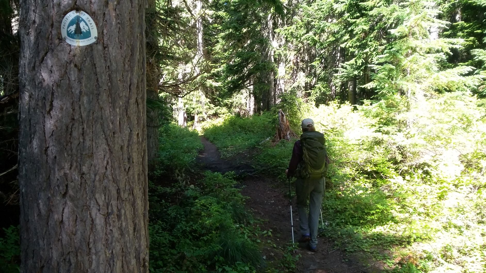
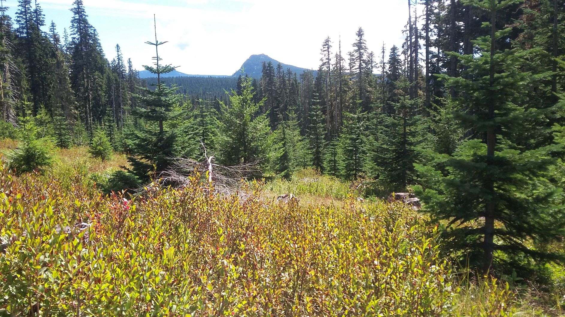
You'll find the trailhead near 46.0918, -121.7659. There's a wilderness registration station and you'll enter Indian Heaven Wilderness after a few minutes on the trail. At about 1.2 miles on the PCT you'll branch left onto the Sawtooth Mountain Trail #107. Note that Google Earth and some other maps show the Sawtooth Mountain Trail as the PCT but actually they are parallel for several miles. You'll continue on the Sawtooth Mountain Trail for about another mile to where it levels out and begins to descend. Sadly the trail does not go into the AZ and the closest approach to the AZ leaves a very steep and unpleasant and view-free scramble.
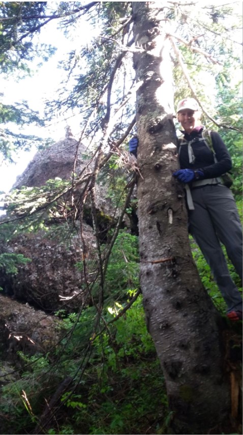
Here you'd like a GPS to ensure you reach the western edge of the AZ - we found a steep and unpleasant perch just below where the rock heads straight up that was several dozen feet from the SOTA peak position in thick tree cover. It seems that climbers meaning to reach the actual top would come at it from the east side - this would be a technical approach and serious scramble: https://www.summitpost.org/sawtooth-mountain/154653.
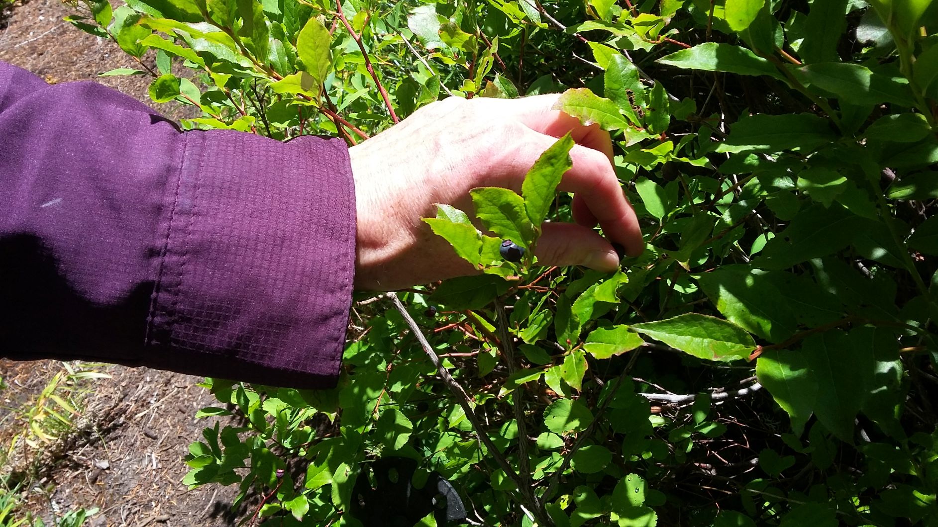
From our perch we were able to operate 2m FM while rigging a HF antenna would have been challenging to say the least. We found the huckleberries as good as the PCT hike - there were more pickers out than hikers. That morning we saw three thru-hikers on the PCT but otherwise no one on the Sawtooth Mountain Trail. There are other approachable summits in this area - consider a two-fer while you are out this way.