We might call this Peterson Summit rather than Peak 1700 - it's a drive-up in the Coast Range about 20 miles north of Tillamook and 20 miles south of Cannon Beach. The road is totally "Prius-able" (passable in a passenger car).
From Highway 53 - the Necanicum Highway make your way to Mohler, Oregon. From the north, turn east just before the bridge over the Nehalem River, from the south, turn east just after the bridge onto Miami-Foley Road. After about one mile, continue east onto Foss Road. After about two miles, turn north onto Peterson Road.
You wind up this graveled road for about 3.1 miles. When the road starts to descend, you're moving away from the summit - a GPS will be helpful to show you where the summit is. There is a spot to park just north of the high point of the road.
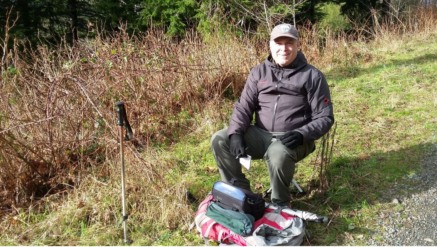
The road is in the Activation Zone and the brush and trees between this spot and the summit is impassible. The summit is RF quiet. We set up on the road, allowing a bit of space between the stations. There are a few trees that you might use for antennas, but it might be better to use a fiberglass pole to support your wire. Although we didn't see any, there may be traffic, so be sure to leave room for a vehicle to pass.
We had no luck working anyone on 2m FM - you'll want to depend on HF to make your contacts. There was good cell coverage with Verizon and AT&T.