Bunker Hill is a nicely accessible summit a few miles north of Carson, Washington. The trailhead is an easy drive, and the hike is about 3.6 miles roundtrip and 1300 feet of gain. Note that little of the gain is on the first mile or so of the hike - it's steep later. The hike starts on the Pacific Crest Trail for the first easy half mile or so.
See this previous trip report for more information: http://www.pnwsota.org/blog/kk7ds/2012-may-11/bunker-hill and this https://www.oregonhikers.org/field_guide/Bunker_Hill_Hike. You might also consider activating nearby Trout Creek Hill - W7W/LC-120.
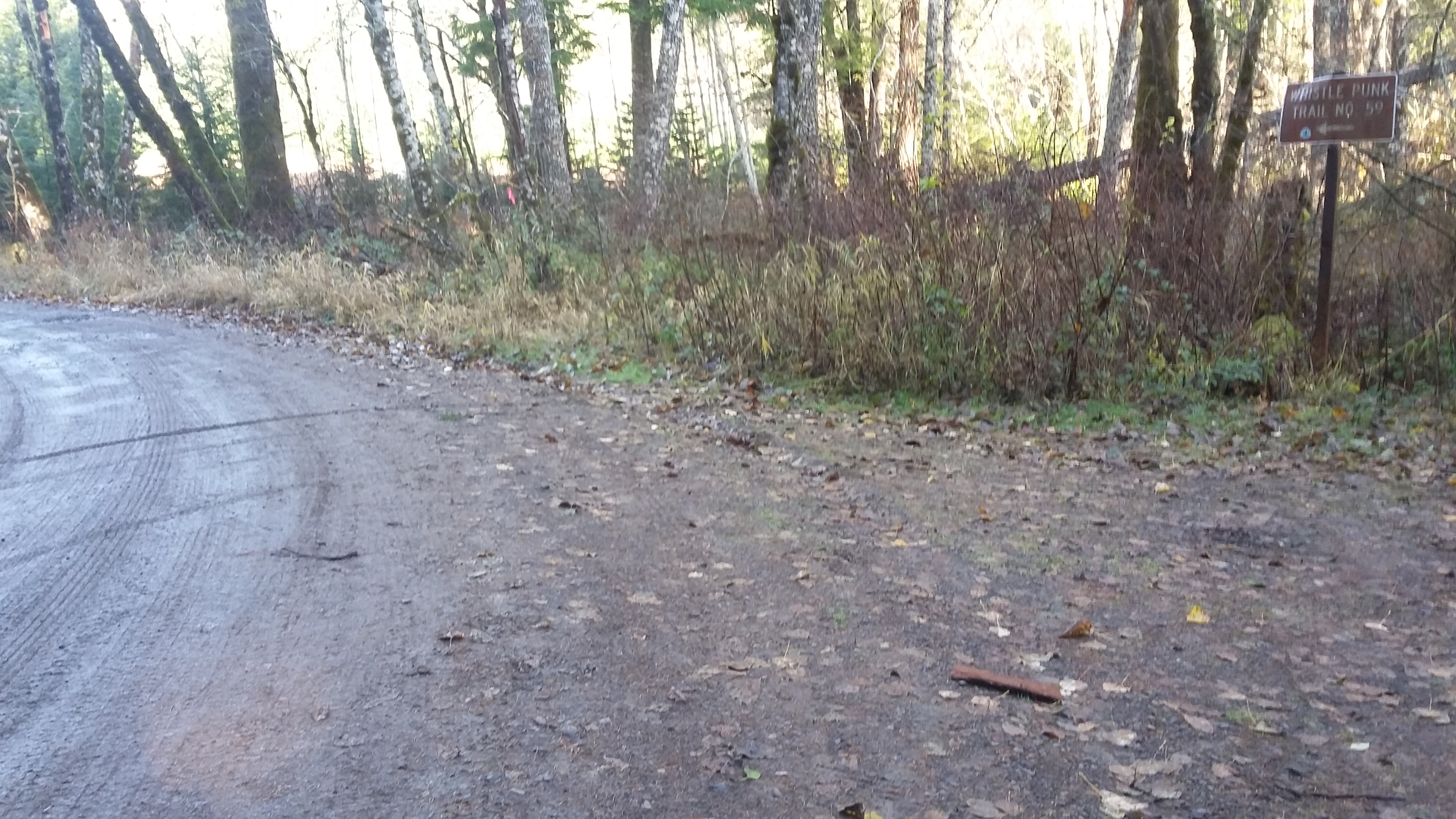
In the Columbia River Gorge, get to the Highway 14 traffic circle heading up the hill to Carson and proceed north on the Wind River Highway for 8.5 miles. From the wide spot in the road that is Stabler, turn left onto Hemlock Road for 1.3 miles. Turn right before the bridge onto FS-43 also known as FS-417. Go 0.6 miles to an unnamed dirt road and then 0.2 miles to the poorly marked PCT trailhead near 45.8075, -121.9406. Here there is a sign for the Whistle Punk Trailhead down the road and parking for one or two cars (don't block the road to a private gate here). If there are other cars using the parking here, there's no easy parking along the road but you can add a half mile to your hike by parking in the Whistle Punk TH lot and walking the road back to the PCT. There's a decent privy over there too. And note that neither Google Maps, Google Earth, or GPS topo showed the road as it was actually on the ground.
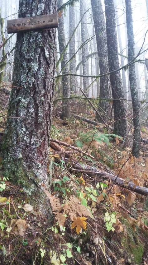
You'll travel easily on the PCT, pass through a spot that is likely boggy during any rain, into the woods and then head uphill at a junction for the Bunker Hill Trail #145. Steep switchbacks (about 11) will eventually get you to a forested summit where there are footings for a former fire lookout. The alternative directions above suggest that there's a viewpoint up there - we didn't find it.
We worked one S2S on 2m FM but otherwise heard nothing on that band. Lots and lots of trees to tangle antennas in.