This Wildcat Mountain is the one south of Mt. Hood and is just an hour east of Portland, reachable on a paved road. The 2 mile (OW) trail is pleasant with a bit over 1000 feet of gain. In a few places along the trail there is some nice scenery but the summit itself is surrounded by trees and thus has no views.
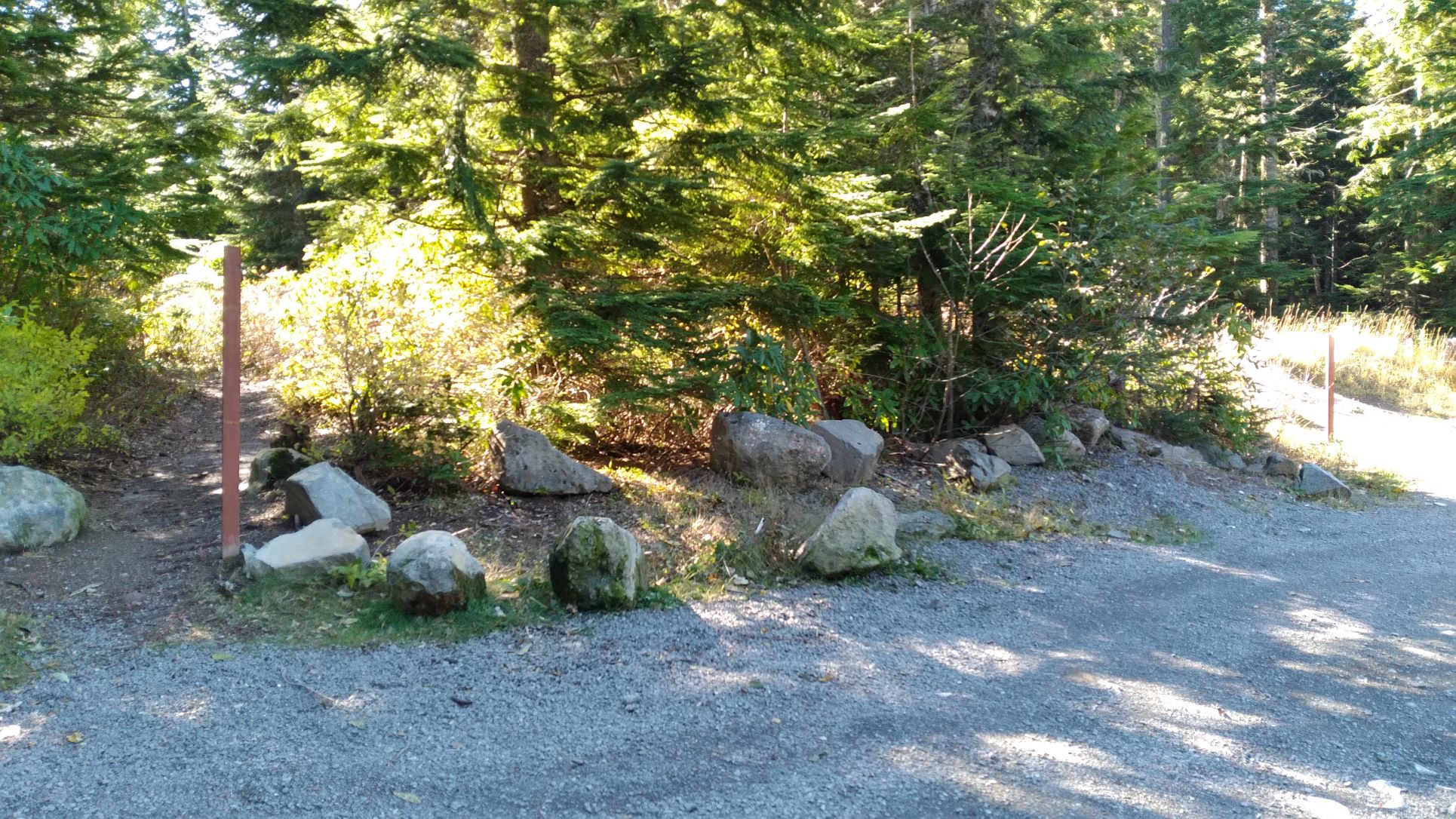
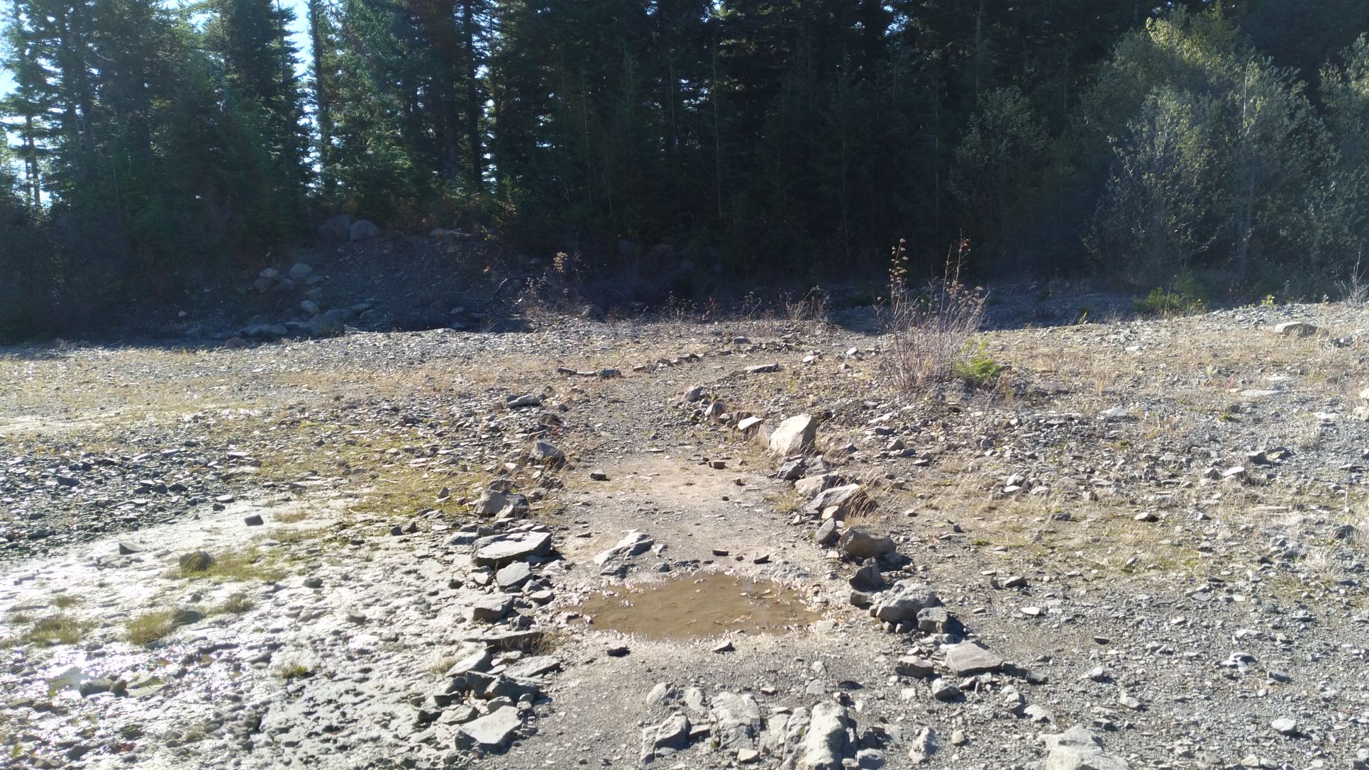
Your Google Map app can provide good directions to this summit by searching for 'Wildcat Mountain Trailhead" - it's along NF-105 and is near 45.3037 -122.0662. Don't be tempted to go through a green gate - 105 takes off just before. You'll start out hiking on the Douglas Trail #781 by heading south - not exactly towards the summit, by heading up the trail marked by an empty post or by going along a closed roadbed towards the Wildcat Gravel Pit (see the photo below with the empty post for the trail on the left, and a sign marking the roadbed). Both the trail and road end up at the gravel pit and the trail crosses the roadbed several times. You'll want to head towards the top of the gravel pit where the trail continues into the forest.
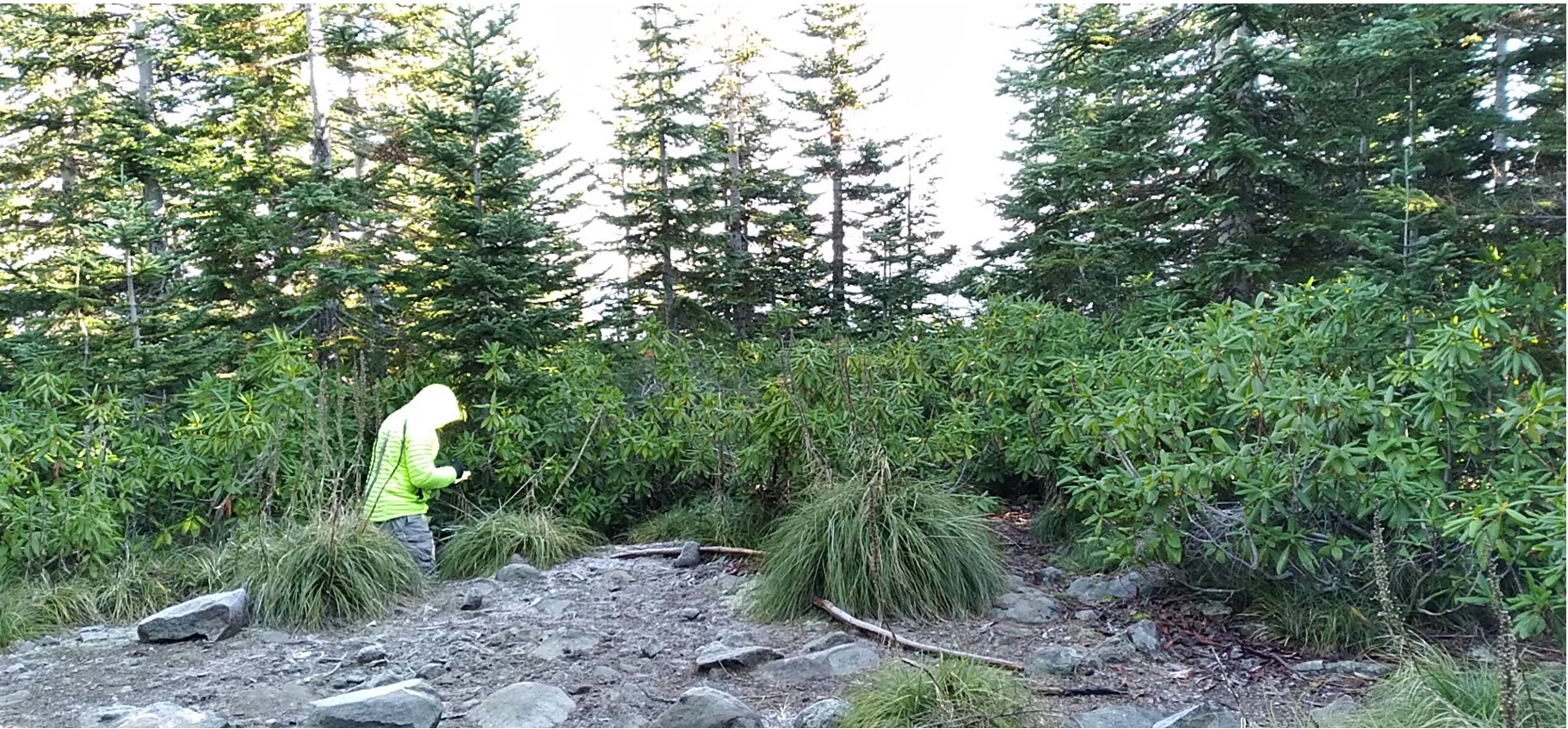
The summit is reached via a short branch trail where the Douglas Trail starts dropping - sometimes there is flagging tape marking the junction. The summit proper is fairlly small and doesn't accommodate two HF stations very well - although it seems to have decent reach into the Portland Metro area on 2m FM.
You can continue another three miles or so on the Douglass Trail to the Plaza Trail #783 to also activate Huckleberry Mountain - W7O/WV-050.
Wildcat is a former fire lookout site, although there's little evidence left behind: http://www.firelookout.com/or/wildcatmtn.html.