Just east of Mount Rainier National Park and north of Highway 12 is this bushwack activation.
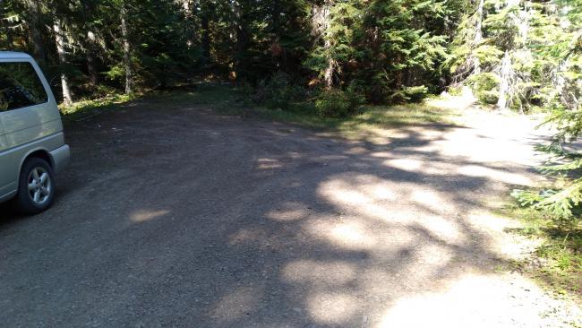
Take Highway 12 about 1.5 miles east of the turnoff for Highway 123 and go left (north) onto gravel FR45. A short 0.4 miles later, turn right (east) to continue on FR45 for 11.2 miles. The road is carefully Priusable, with the potholes increasing and the road width decreasing past the Cortright TH (which could provide access to other summits to the east). You'll find a good place to park near 46.6965, -121.5309 where FR45 starts to descend.
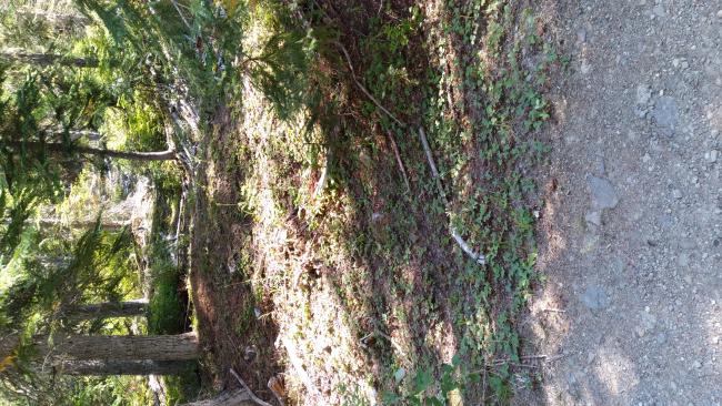
On the north side I noticed what could have been a cat track heading towards the summit (see photo), now about 0.37 miles to the east. This cat track peters out shortly (of course) and a serious bushwack begins. Marking where you left your vehicle and recording tracks on a GPS is highly recommended. There is a vague ridgeline here, and you'll go over several points that will not quite be in the AZ. I found a spot just below the steep final slope up to the summit to set up, a couple hundred feet from the trig point, and worked 7 on 40m CW and none on 2m FM.
There was decent T-Mobile service.


