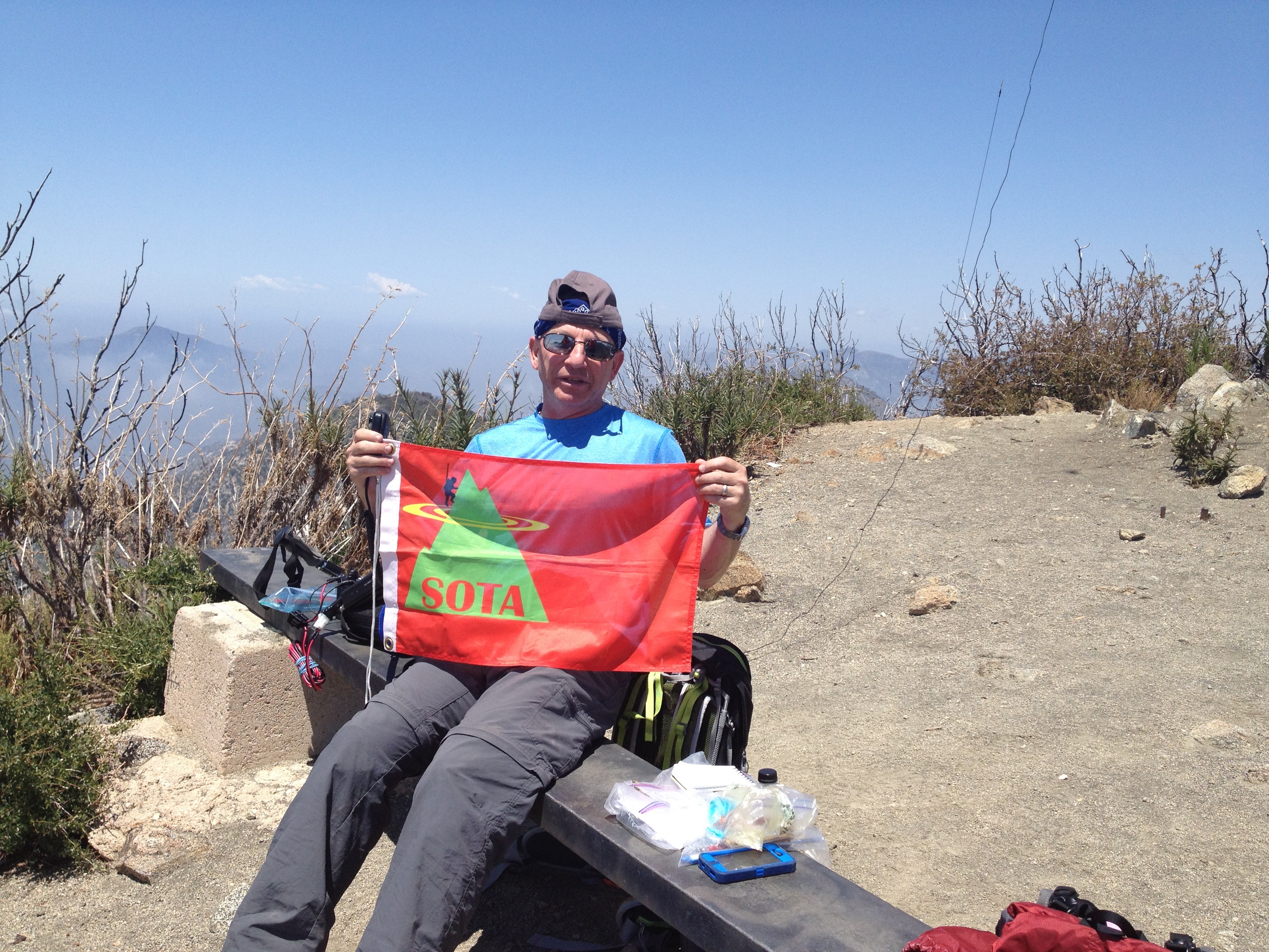
On a brief vacation in Southern California to visit family, I managed to activate three (3) SOTA peaks. This is report 1 of 3 for this trip.
San Gabriel is 1,878 Meters, 6,161 feet elevation. It is a 6 point SOTA Summit.
San Gabriel has been activated 18 times before, and there are many good reports available. Access from San Fernando Valley, which is where I was staying, is excellent. Access to San Gabriel and many other Angeles National Forest SOTA peaks is via "Highway" 2, the Angeles Crest Highway. This is a very windy, but paved road that very rapidly gains elevation and traverses this area from SW to NE. In fact if you are susceptible to car sickness, this is not the road for you.
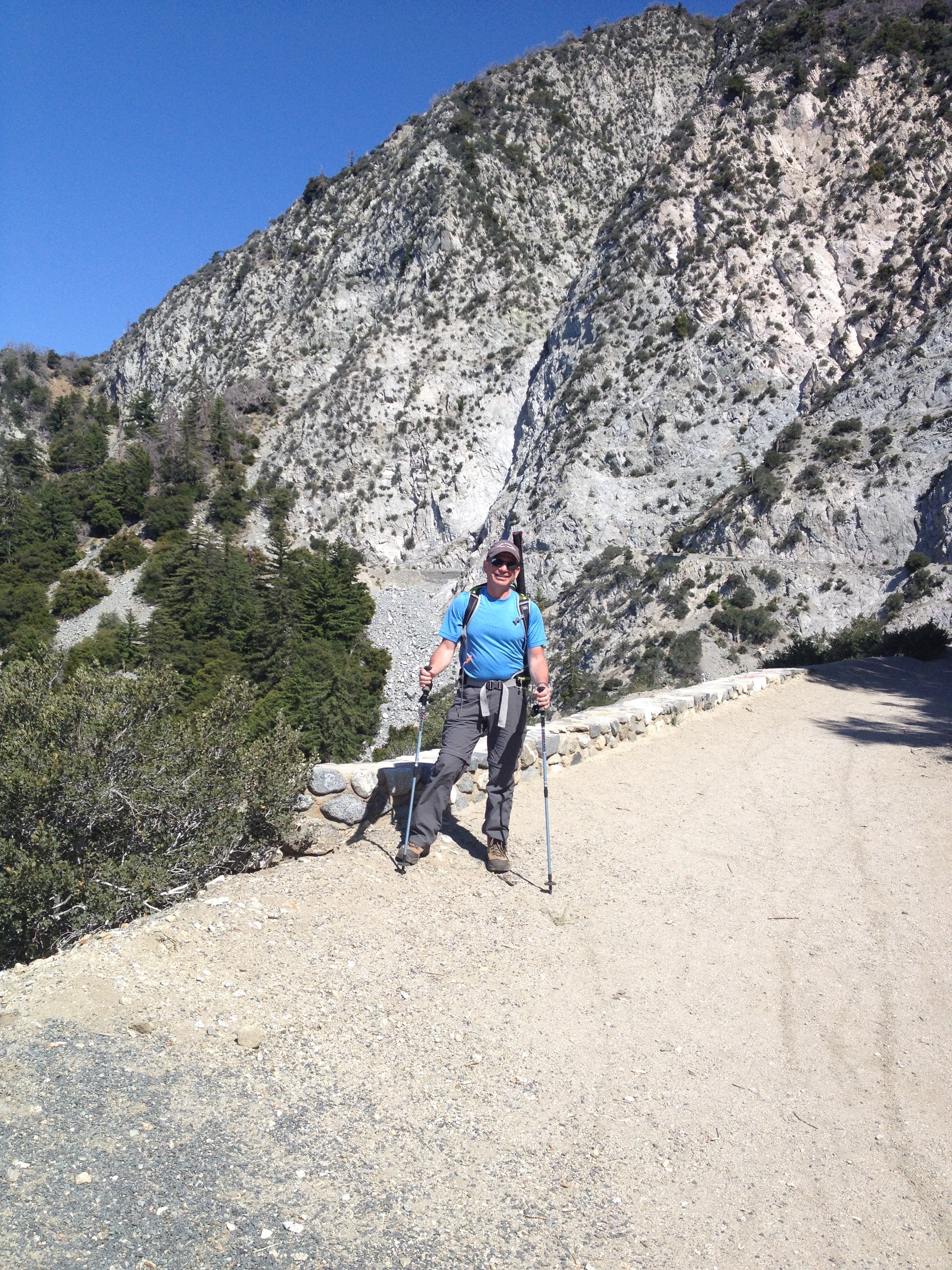
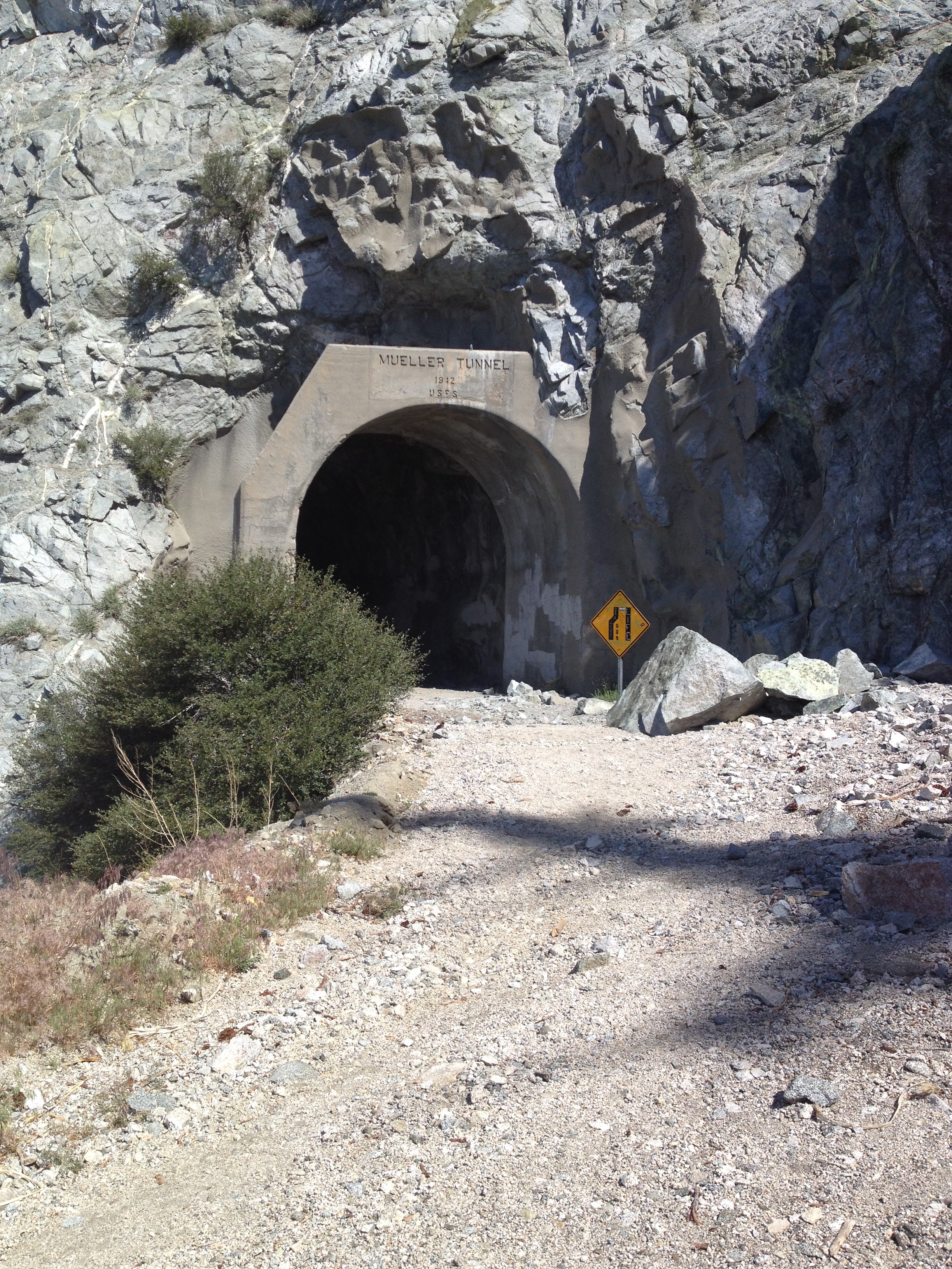
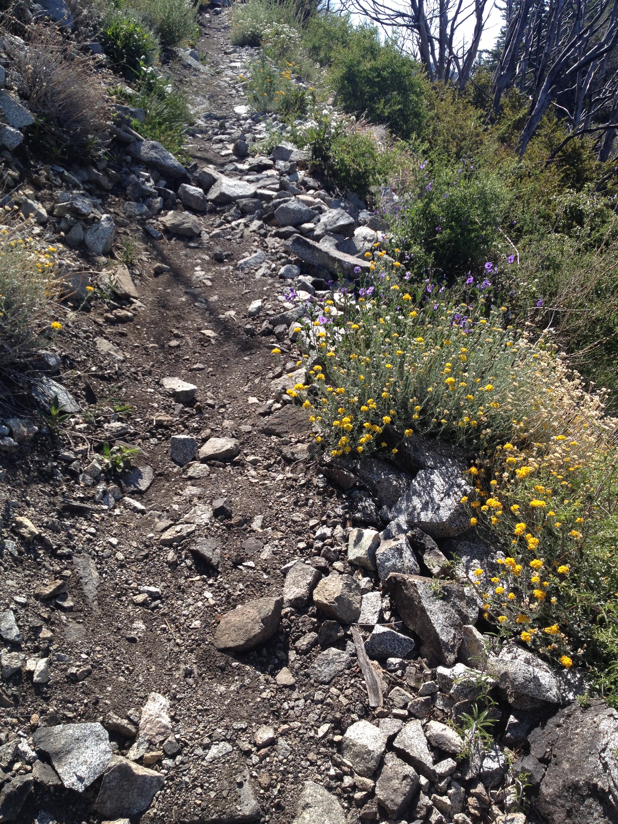
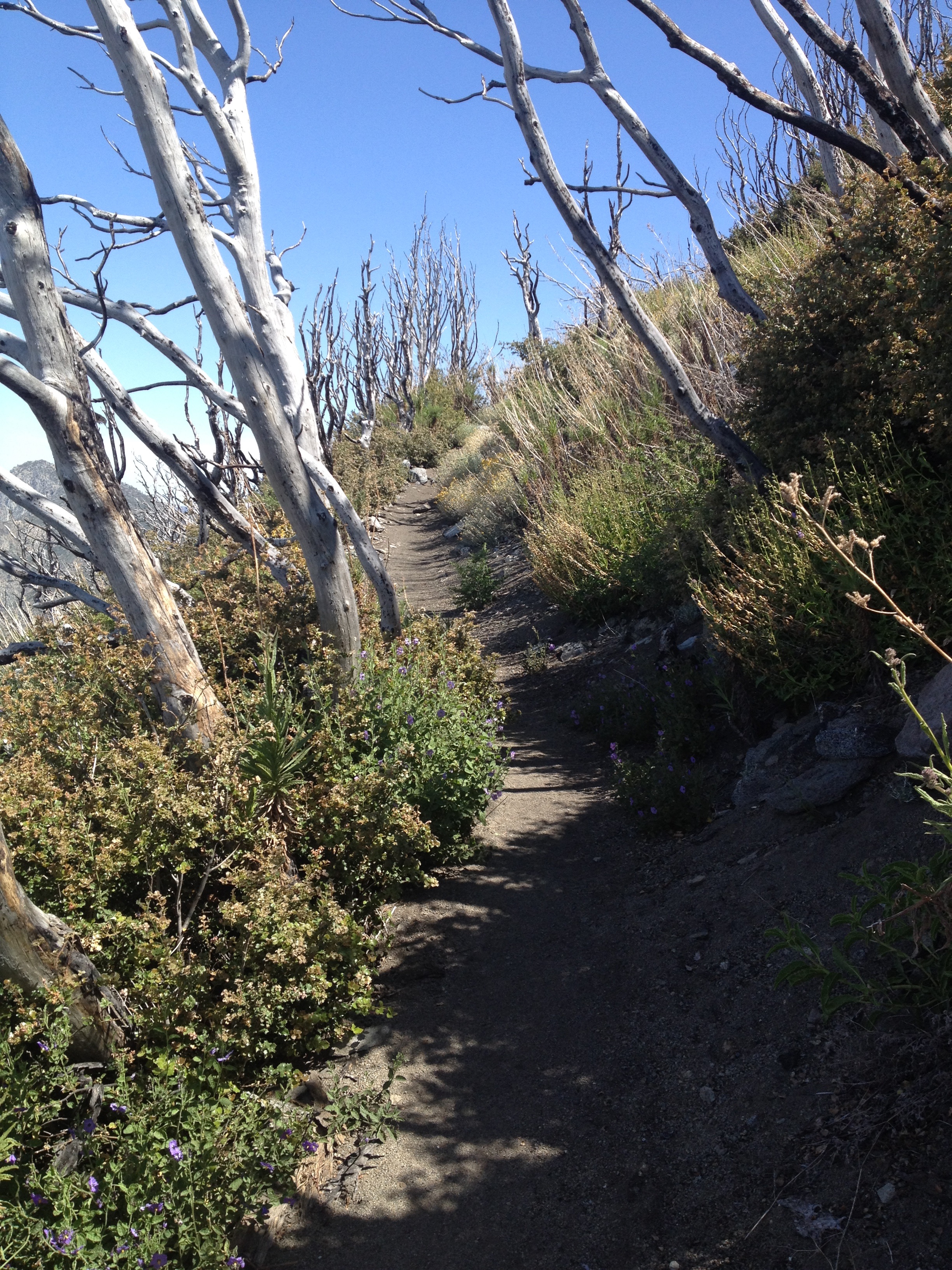
Trail head to San Gabriel is actually off the Mount Wilson road, which is also paved, and leads to the famous observatory, which is further east along the crest of the San Gabriel Mountains. It is at 5,100 feet. The hike is about 4 miles round trip and a little over 1,000 feet elevation gain. Return the same way as climb, via trail.
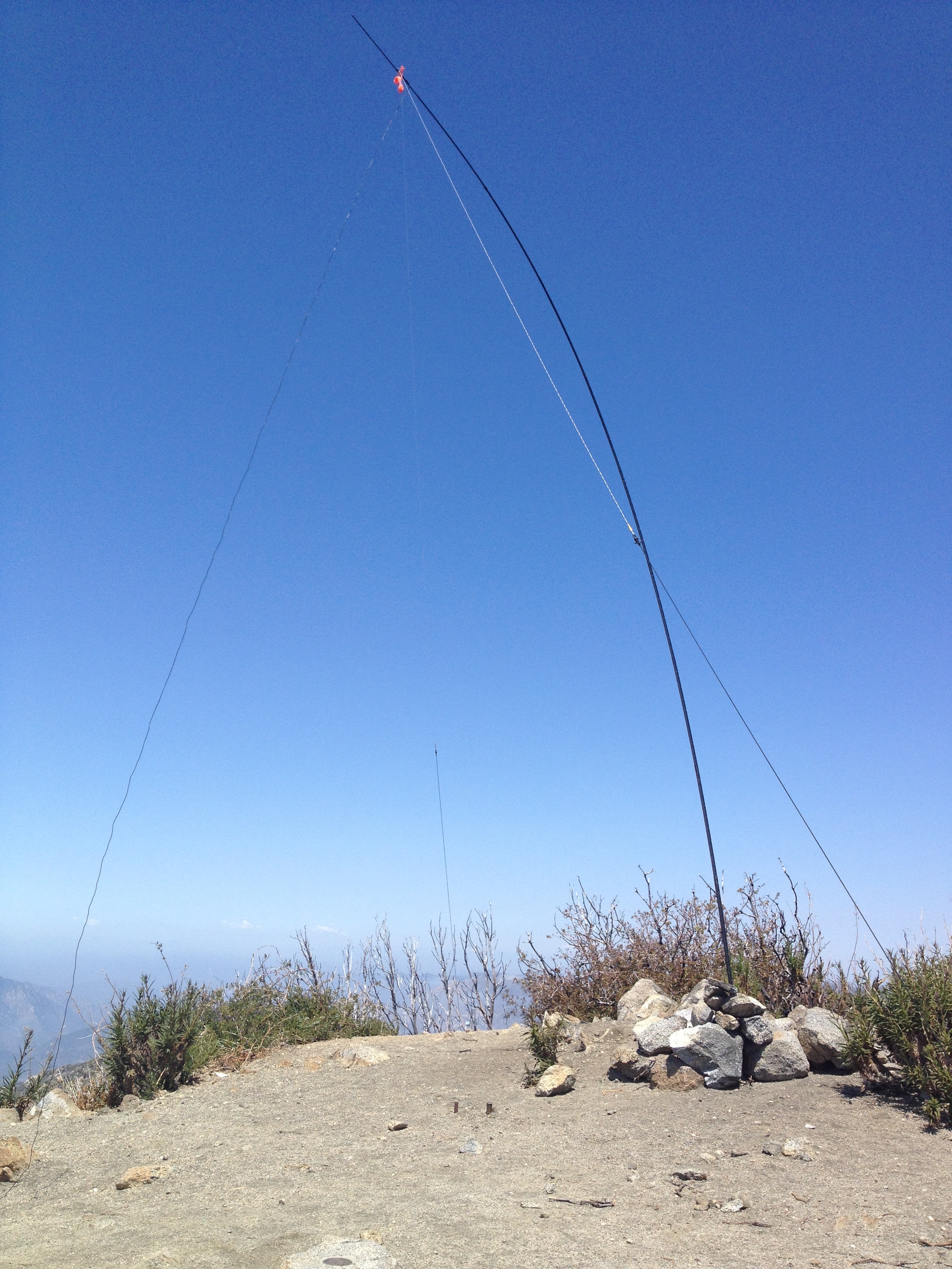
My contacts were all 20M ssb, using an Inverted V antenna slung from a 25 foot high carbon fiber fishing pole. Thank you very much to all my contacts.