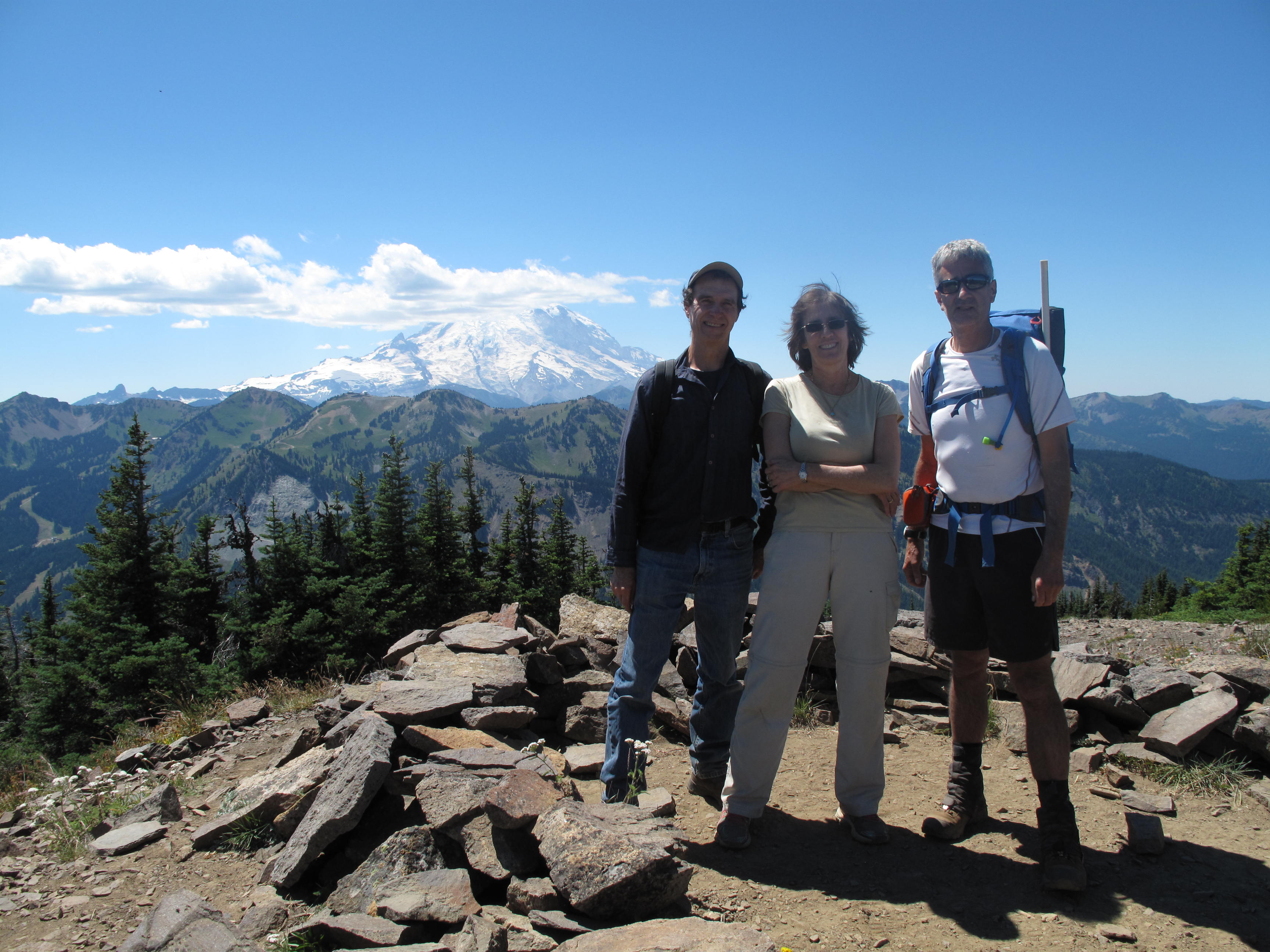
A return Activation of Norse Peak. This time I was with Tim Nair, KG7EJT, two other non-Ham friends, Neal & Sherri, and Dexter the SOTA Dog. On probably the hottest day of the summer, 2015, we escaped the heat of the lowlands by starting relatively early, choosing an objective with substantial tree canopy and being at nearly 7,000 feet elevation. Good company, lively conversation and a successful Activation made for another memorable SOTA outing.
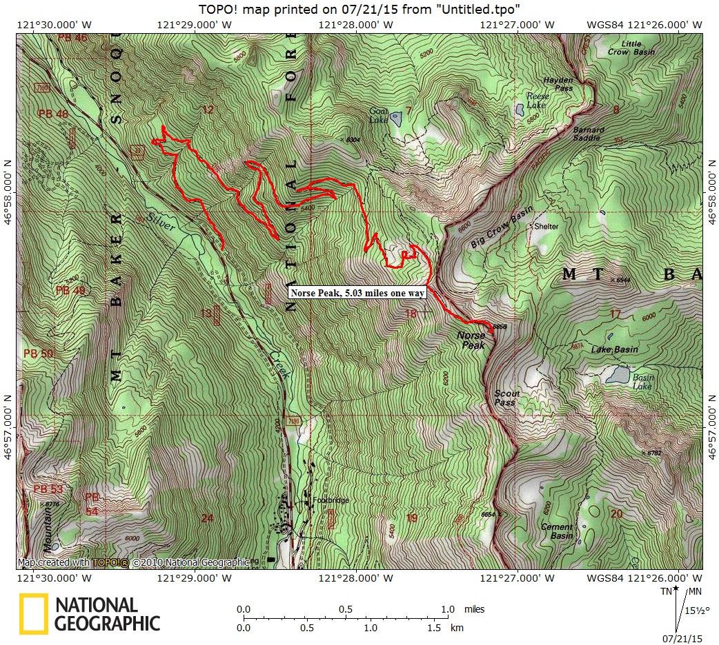
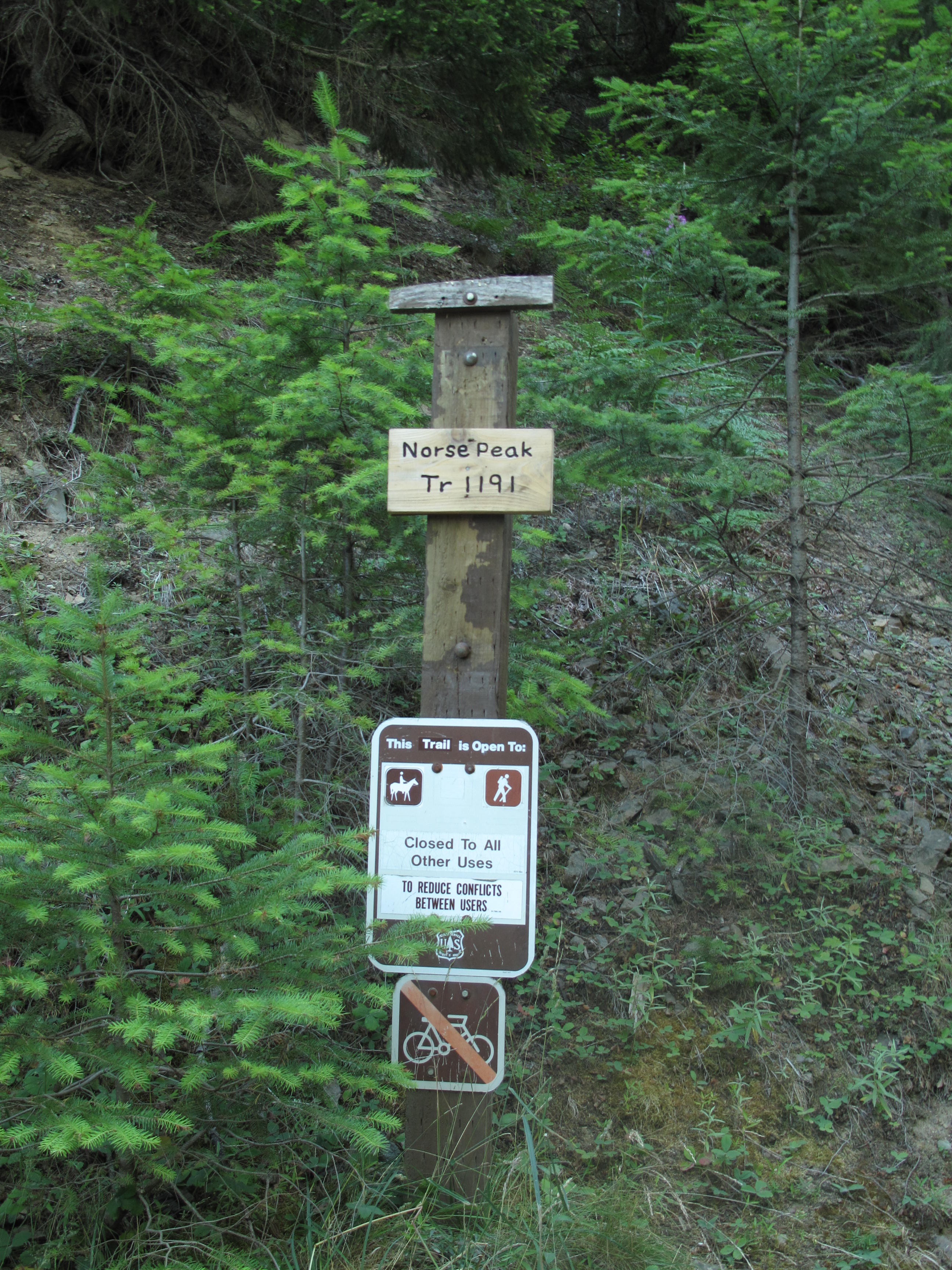
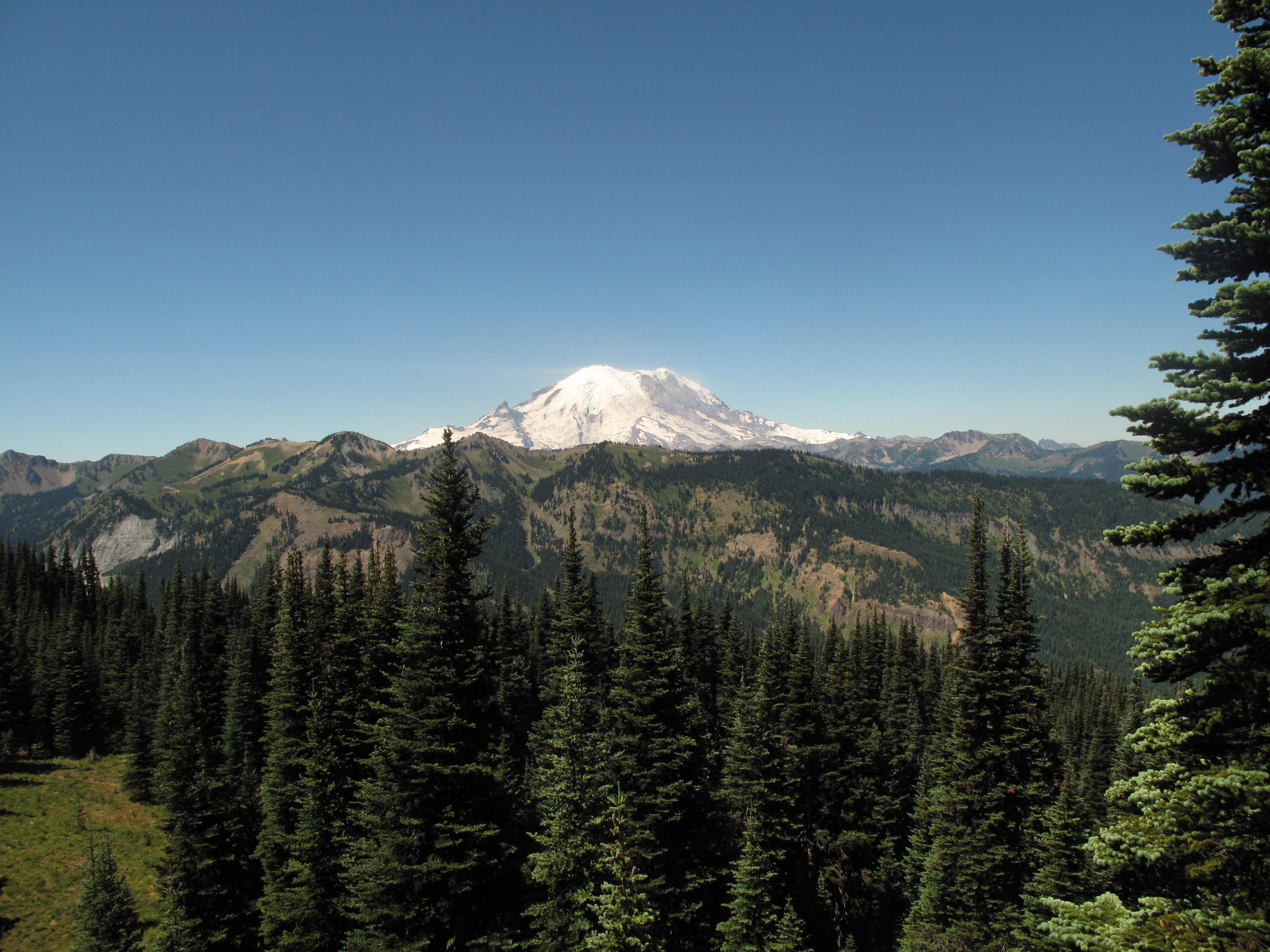
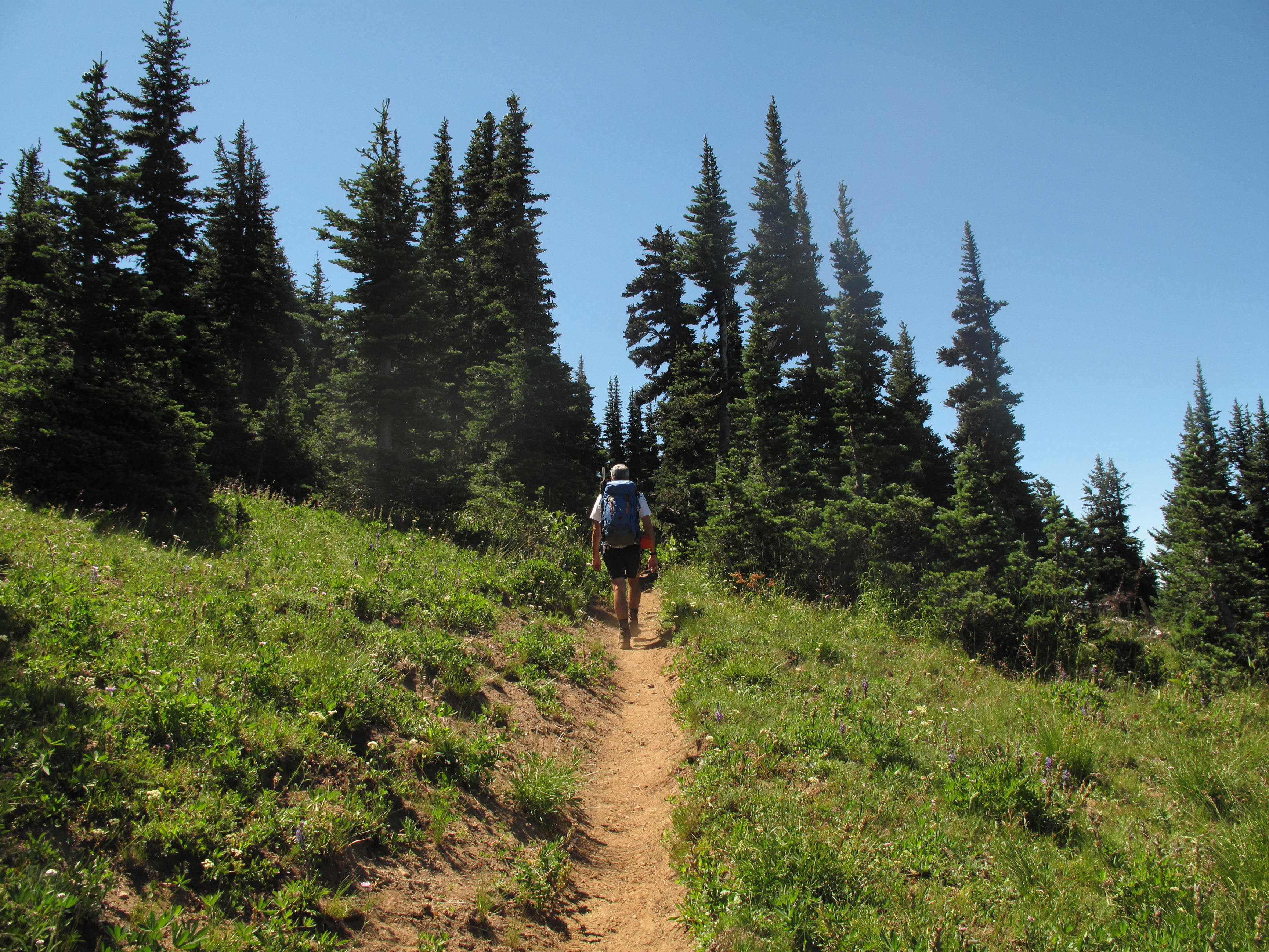
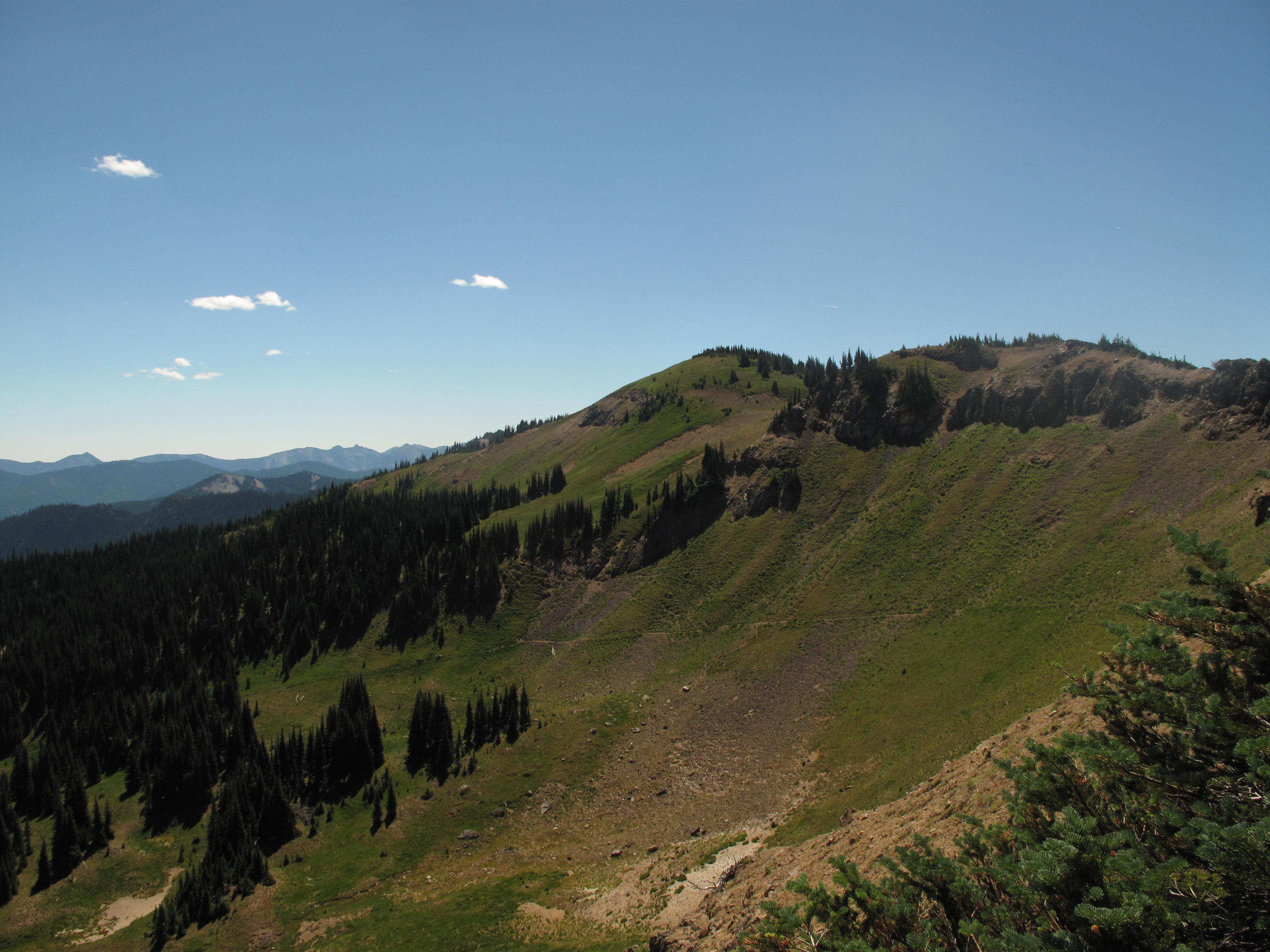
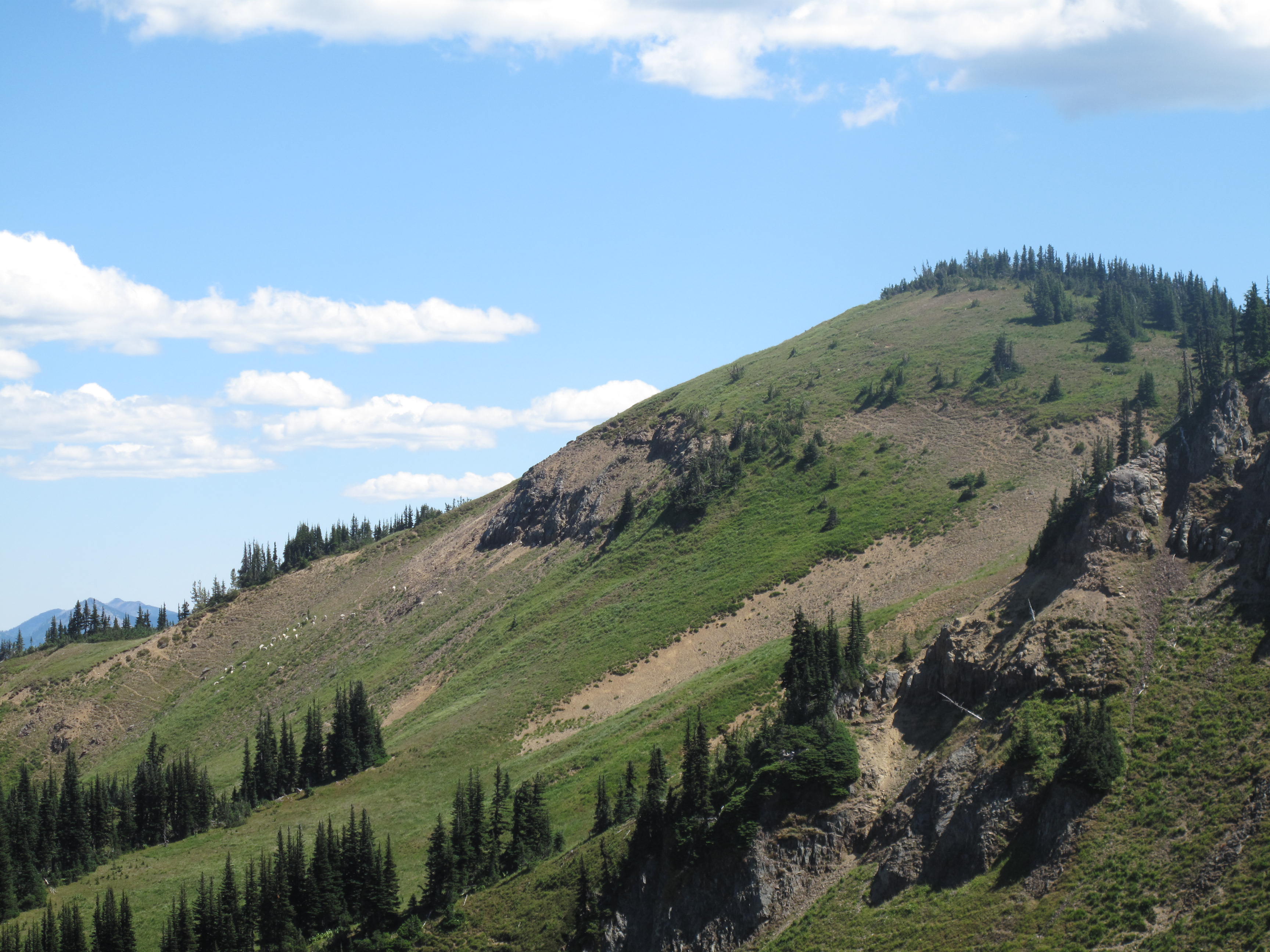
Norse Peak trail is accessed from the Crystal Mountain road which leads to the ski resort. The trail to Norse Peak is approximately 10.6 miles round trip, with 2,906 feet elevation gain along a steepish but very evenly graded trail. This trip, there was no water at all on this mainly West and South exposure trail. The views got increasingly better as we ascended, with first the local peaks of Crystal Mountain Ski Resort popping into view. This was followed by increasing views of Mount Rainier and finally a 360 degree view from the summit that encompassed Mount Baker and North Cascades to the North, Mount Rainier absolutely dominating the entire West horizon and Mount Adams, Goat Rocks and hundreds of other peaks to the South. We made the ascent in a little more than 2.5 hours. At the ridge crest, about 3/4 mile from the summit, we were passed by two horse riders, with their companion dogs. We were impressed by their riding skill, as their descent down to Big Crow Basin was via a steep and exposed trail. Certainly no place for inexperienced riders or less than sure footed horses.
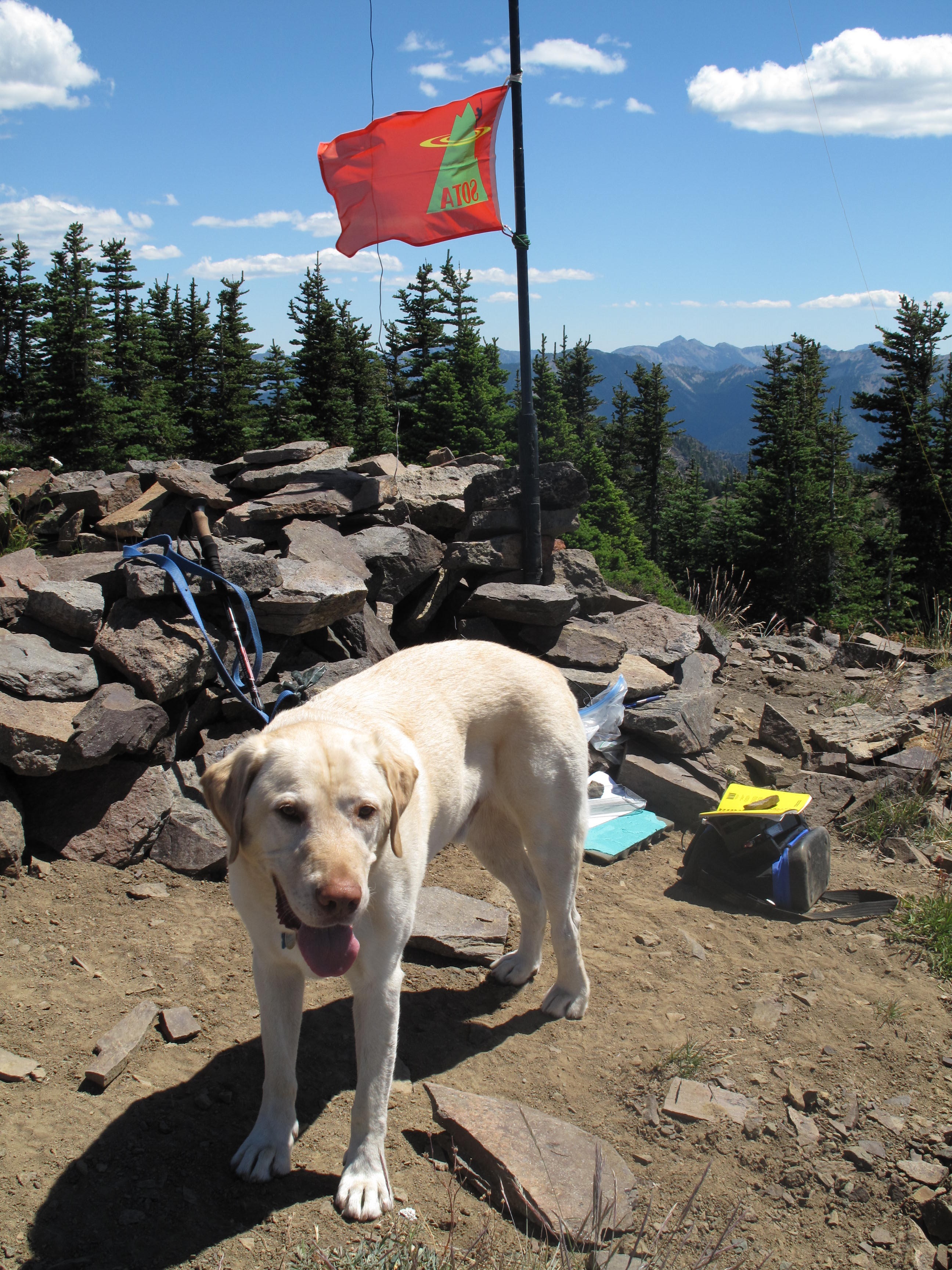
Upon reaching the summit we stopped to admire the views, eat lunch and drink plenty of water. On average each of us carried 3 liters of water, and I carried an additional 2 liters of water for Dexter the SOTA dog.
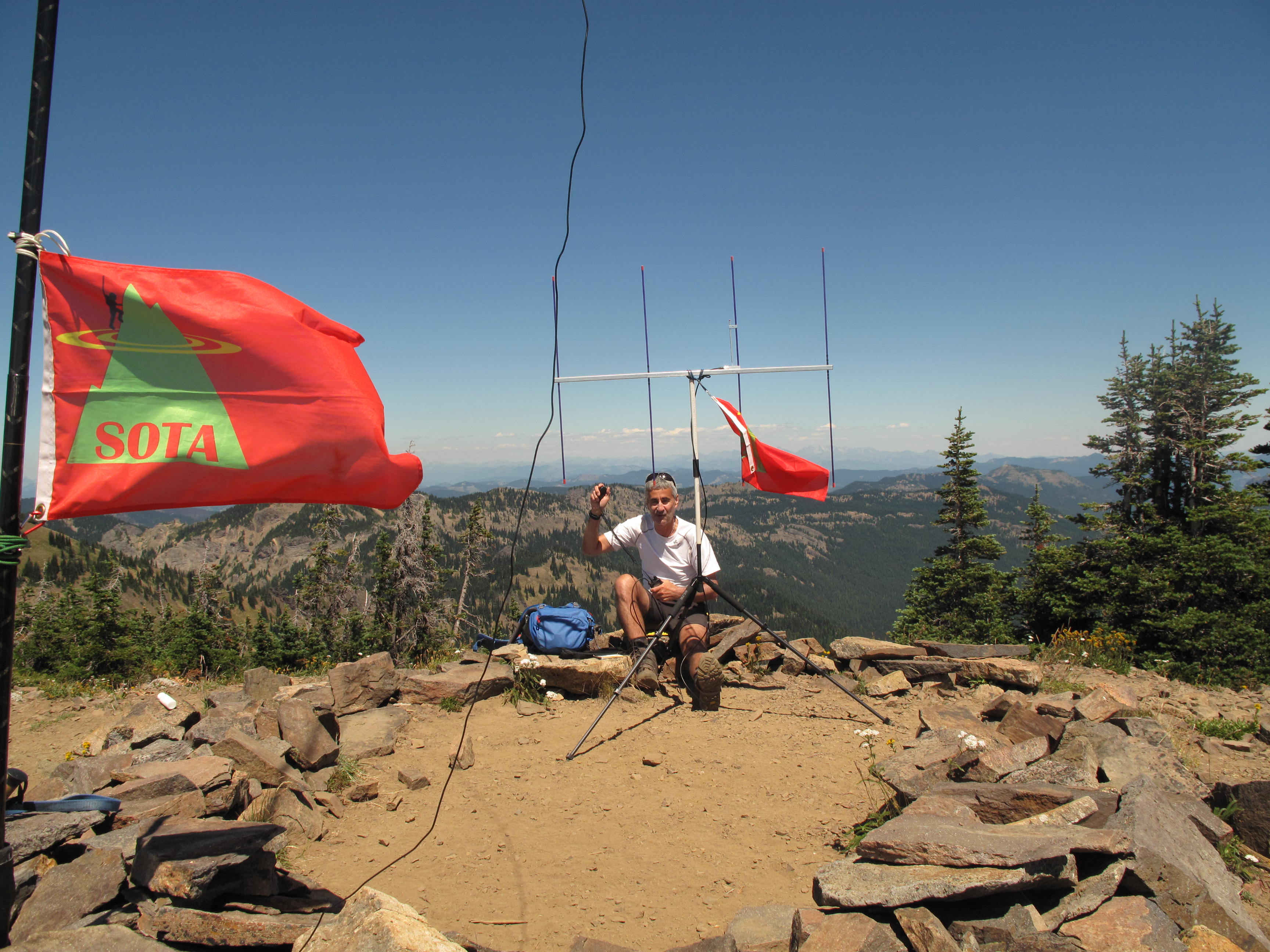
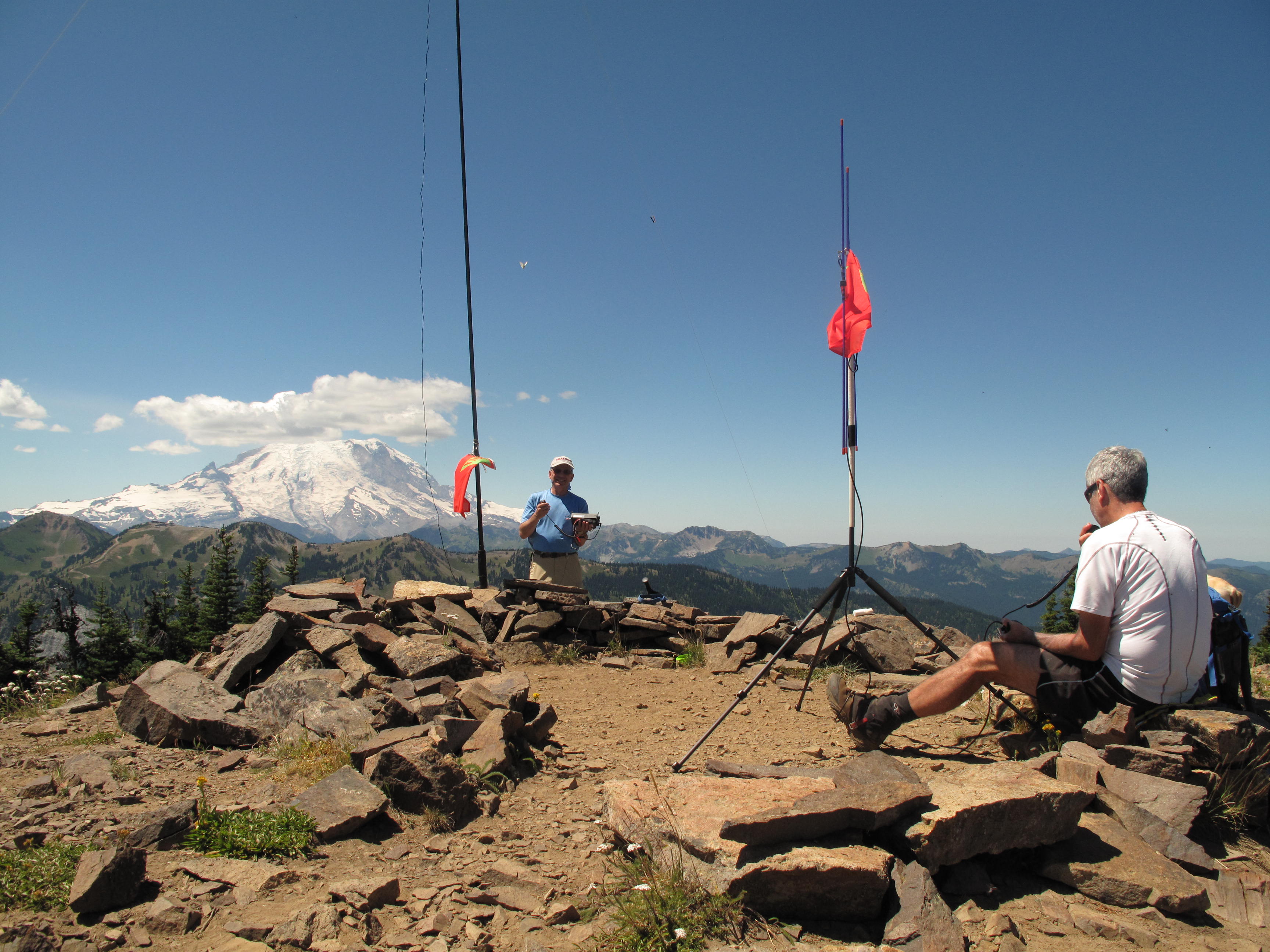
Tim, KG7EJT, set up quickly for his usual 2M FM operation using his trusty 4 element Yagi Arrow Antenna. He soon was picking up steady traffic. I set up for HF operations, using my Elecraft KX3 and the 20M / 40M linked dipole, slung from a 25 foot carbon fiber pole as an Inverted V. I too soon had a steady flow of contacts, all on 40M. The rest of the group found a shady spot under the canopy of stunted evergreen trees in and around the summit. Dexter occupied himself by his usual stick chewing, animal track sniffing and wandering around looking for food scrap hand-outs.
As it was getting hotter by the minute, we soon called it an Activation, broke down the radio gear, took many photos to scout out other SOTA summits nearby and finally headed down. As soon as we descended from the summit, we sighted a very large herd of mountain goats. There must have been in excess of 30 goats, with many young, first year animals amongst them. We admired them from 200 to 300 feet above, and were glad they moved in the opposite direction, as some of the larger males were substantial animals with mighty black horns.
An uneventful descent into the increasingly HOT Silver Creek basin, brought us to the TH at approximately 4:00 PM. We were back home in Bellevue by 5:30 PM, and stepped out of the air conditioned car to a blast of 95 degree heat. We were gald to have spent at least a few hours in somewhat more "moderate" temperatures, with outstanding view as a bonus. This is a highly recommended 8 point SOTA objective!
Thank you very much to all of my contacts, all on 40M: KD7RTE; KV7L; W6FHZ; KD7WIA; N7TCO; N7KPO; W7KRM; K7EZI; KD7EDQ; WA3QGD; W7GQE.