Nice weather, good company and a successful Activation (including a summit to summit contact with VE7DB on VE7/FV-024) were high points. The route was not terribly ascetic, and the summit block is a large pile of Basalt talus. We elected to operate from the false summit to the southeast of the summit block. This was a joint Activation with Tim Nair, KG7EJT. Joining us was Masako, Tim's wife and Sharon, my wife. Rounding out the crew was Dexter the SOTA Dog.
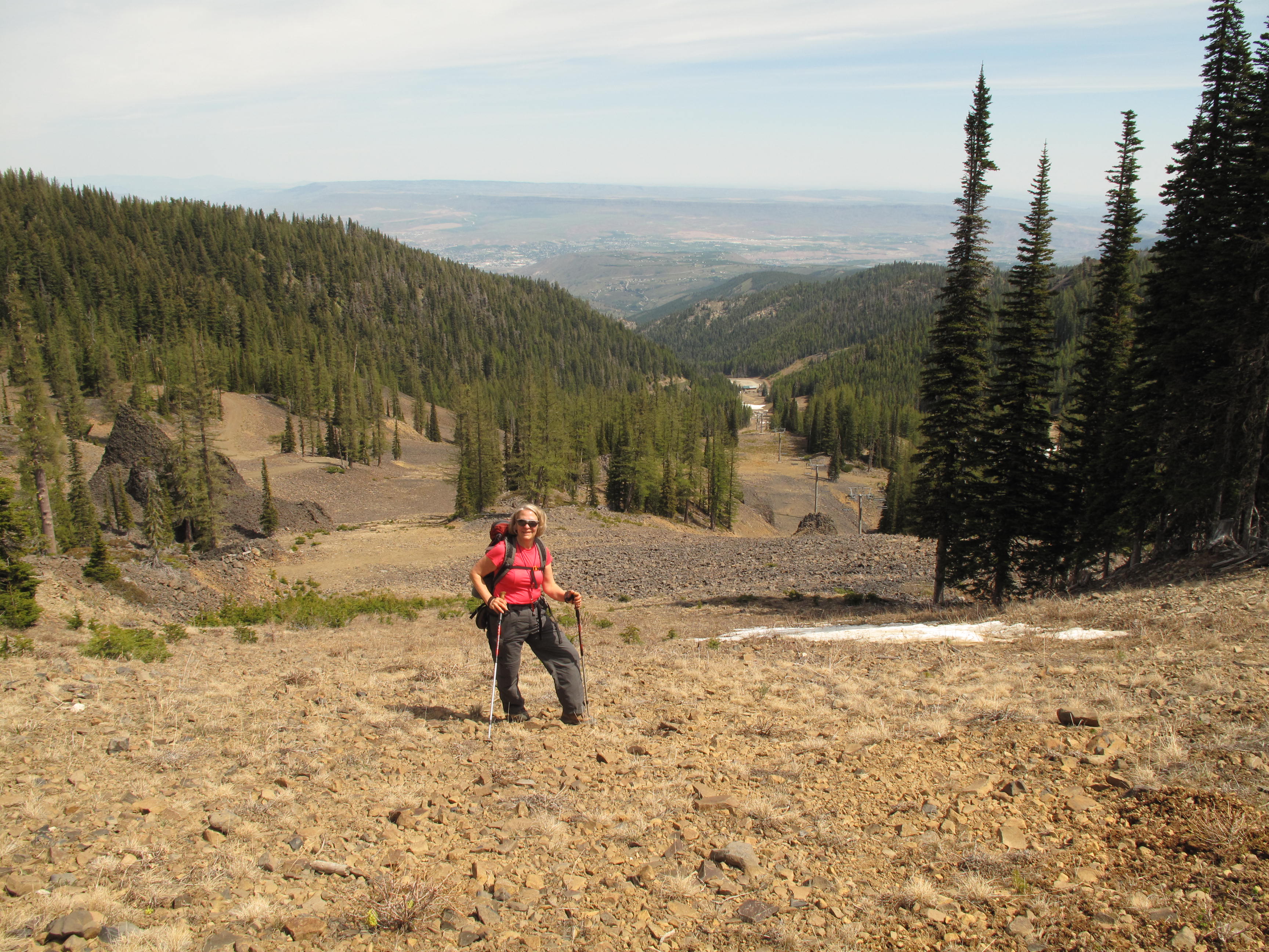
Mission Peak is an 8 point SOTA summit, 6,876 feet / 2,096 meters, with about 2300 feet gain, including some up and down sections. The distance travelled was approximately 7 to 8 miles RT. It is located above the Mission Ridge Ski Resort, south of Wenatchee. See: MR1314_TrailMap.pdf. There are several ways to reach the summit. We elected to travel through the ski area, as the ski season was officially over on April 13th. There were several other parties on the mountain, some desperately seeking upper slope ski runs, on the rapidly disappearing snow, others hiking up the mountain with saucer sleds in order to partake in a little springtime snow play. Higher in the central cascades, and on the large volcanoes, there is still snow to be had for those seeking better quality snow.
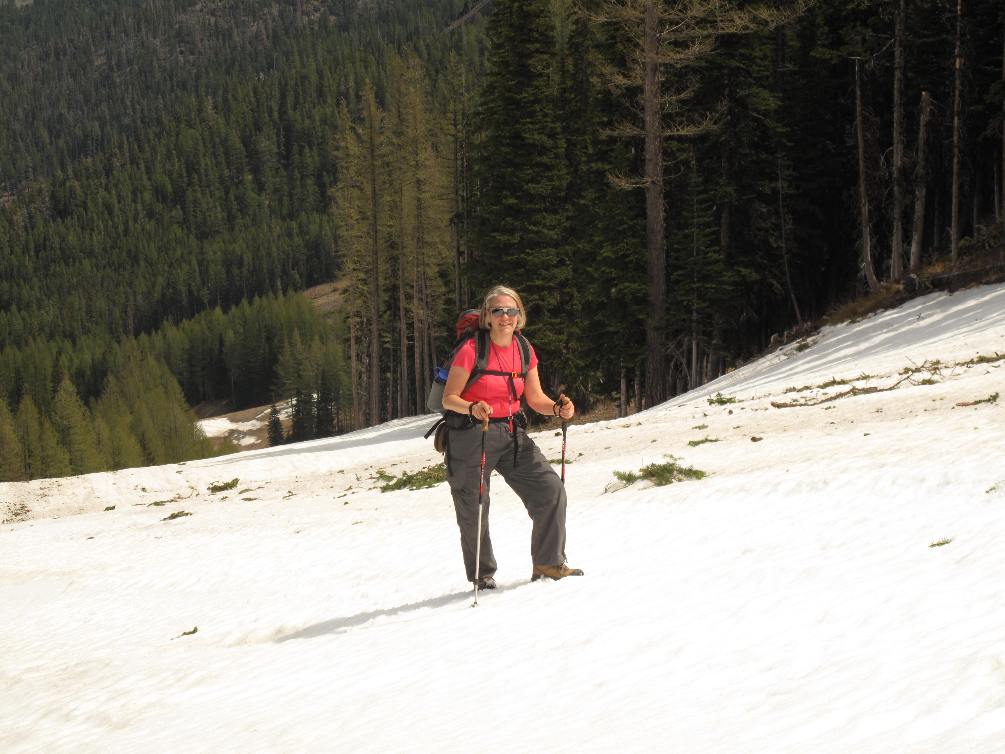
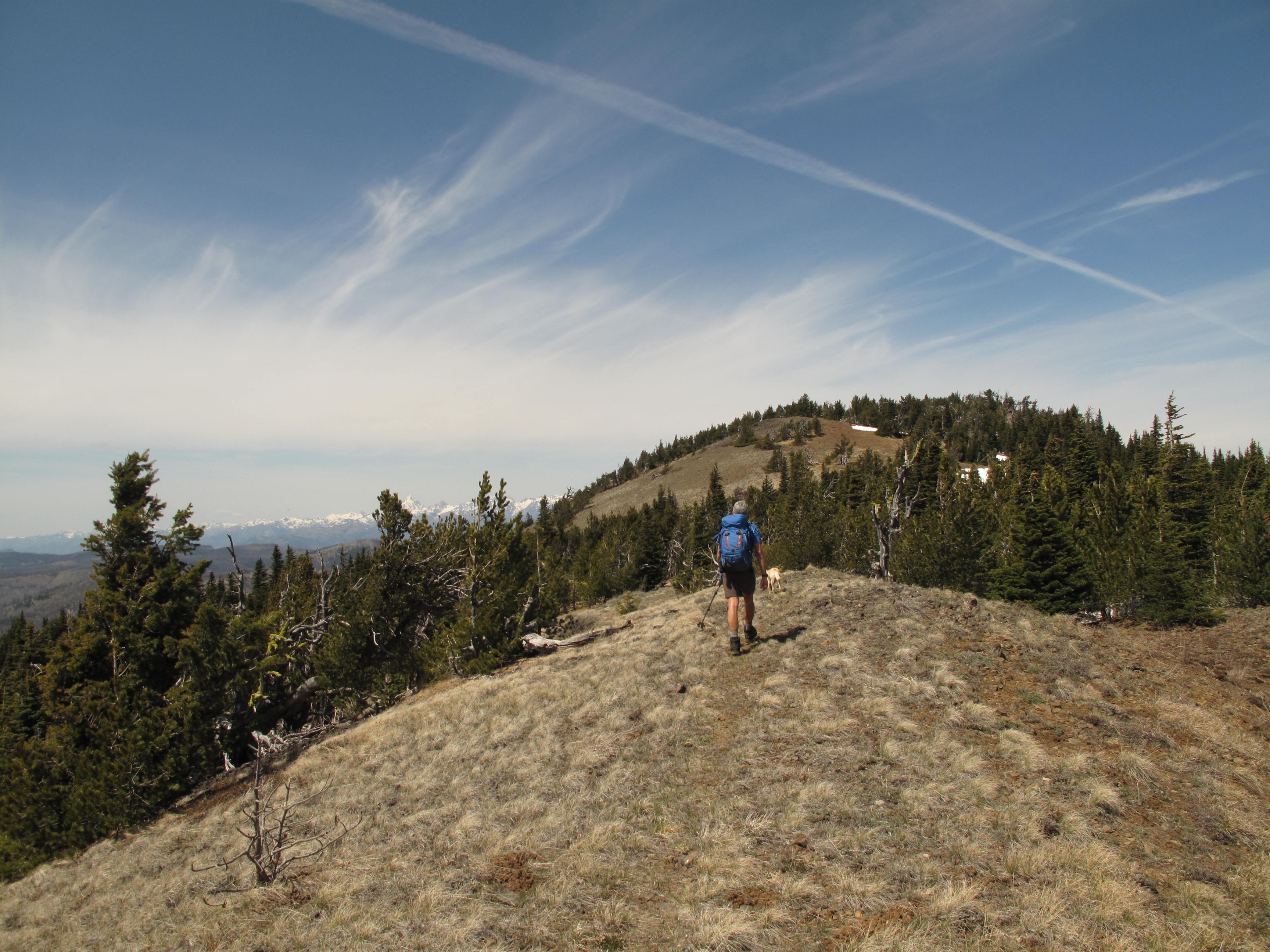
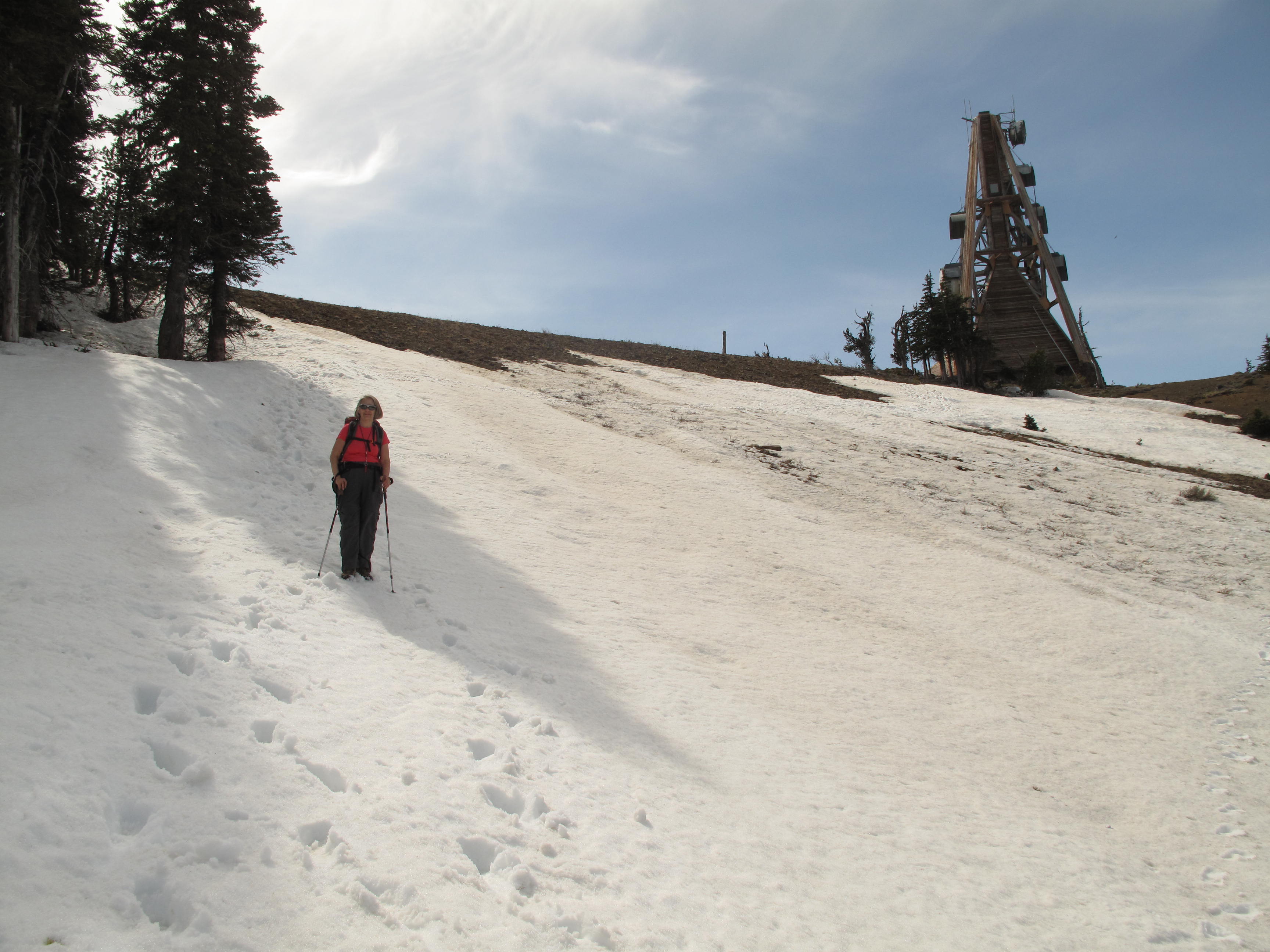
Our route, starting at approximately 4,600 feet at the main parking area gate, took us up adjacent to Chair 1, then in and around various ski runs under Liberator Chair (Chair 2). From there we proceeded up sections of the service road, serving the various radio facilities to be found on the ridge crest, or on open snow slopes. The travel conditions were on gravel and talus roads, talus ski runs and finally snow of various quality towards the upper mountain. Reaching the ridge crest at approximately 6,730 feet, adjacent to an enormous triangular microwave tower (picture), we turned northwest towards the summit blocks. We traveled over several up and down sections, generally in open or lightly treed ridgecrest. There is a "way trail" that is relatively easy to follow. From where we gained the ridge, to the summit, is approximately 2/3 of a mile.
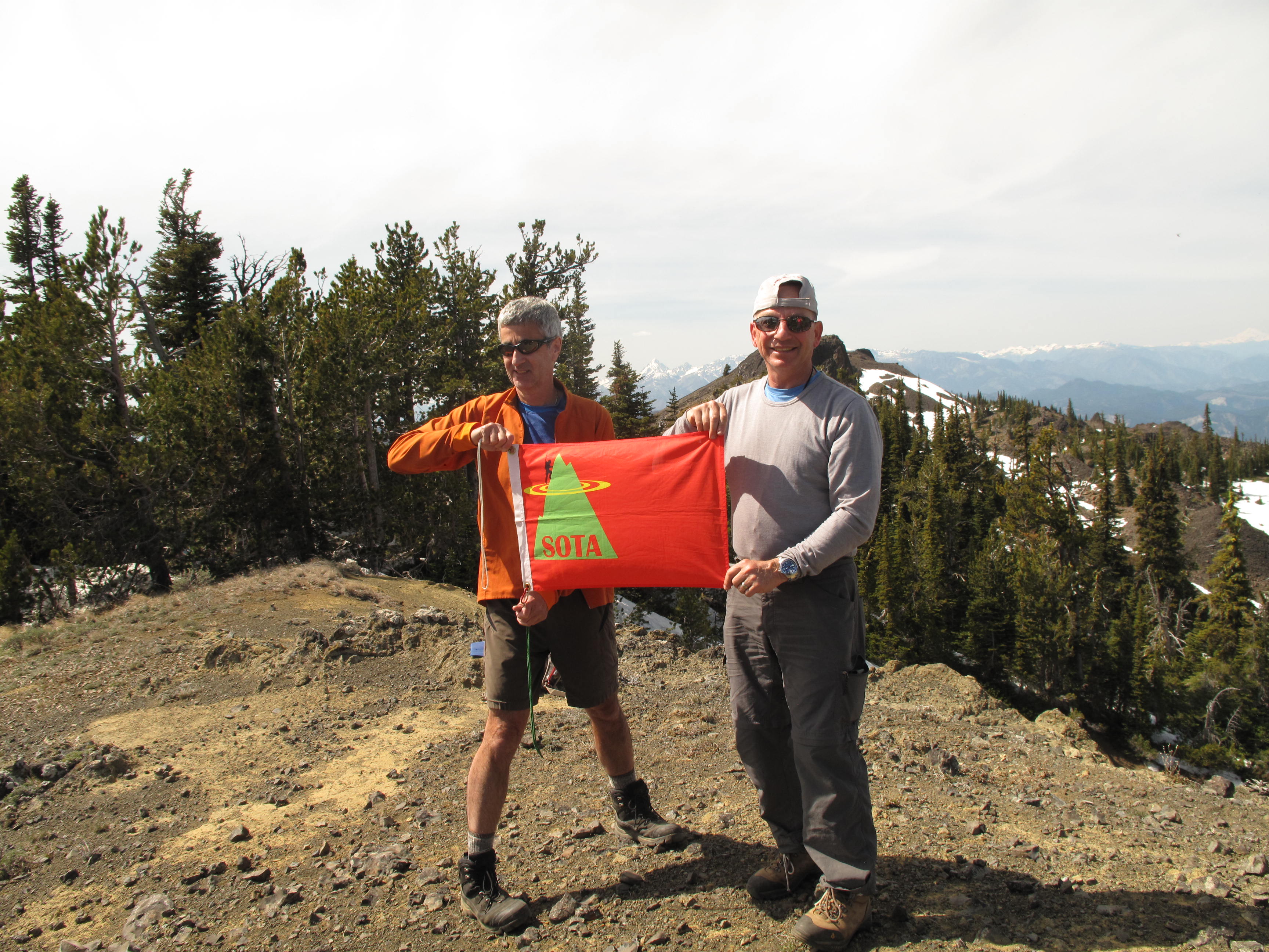
After scouting out the route to the actual summit, by scrambling down to the low point just below it and taking a GPS and elevation reading, we decided to operate on a "False Summit" just to the southeast. The summit block is basically an exposed, unattractive pile of Basalt talus (picture). Given the makeup of our group and the time of day, it did not make sense to operate from the actual summit. It would certainly be possible to operate on the actual summit with a vertical antenna, a loop antenna or using 2M FM. However, I was using a 40M/20M inverted v dipole that takes some real estate to put up.
Returning to the false summit we ate lunch and set up for operations. Tim, KG7EJT used 2M FM only and I used 20M & 40M ssb. I made a total of 7 contacts, all on 40M. I called CQ on 20M without success.
The descent trip was about 2 hours, made tedious by slippery snow slopes, and various sections of sometimes loose talus. A 3 hour drive back to Seattle area rounded out a long day. If I undertake this activation again, I would probably do it earlier in the season as a snowshoe climb. I would approach form the northeast to north, over less steep terrain, and over the easier side of the summit block.
Thank you very much to the chasers & my contacts: W7ARC; K7CY; KC7MRP; KC7TAK; VE7DB (S2S); N7CGI; KG7OEM.