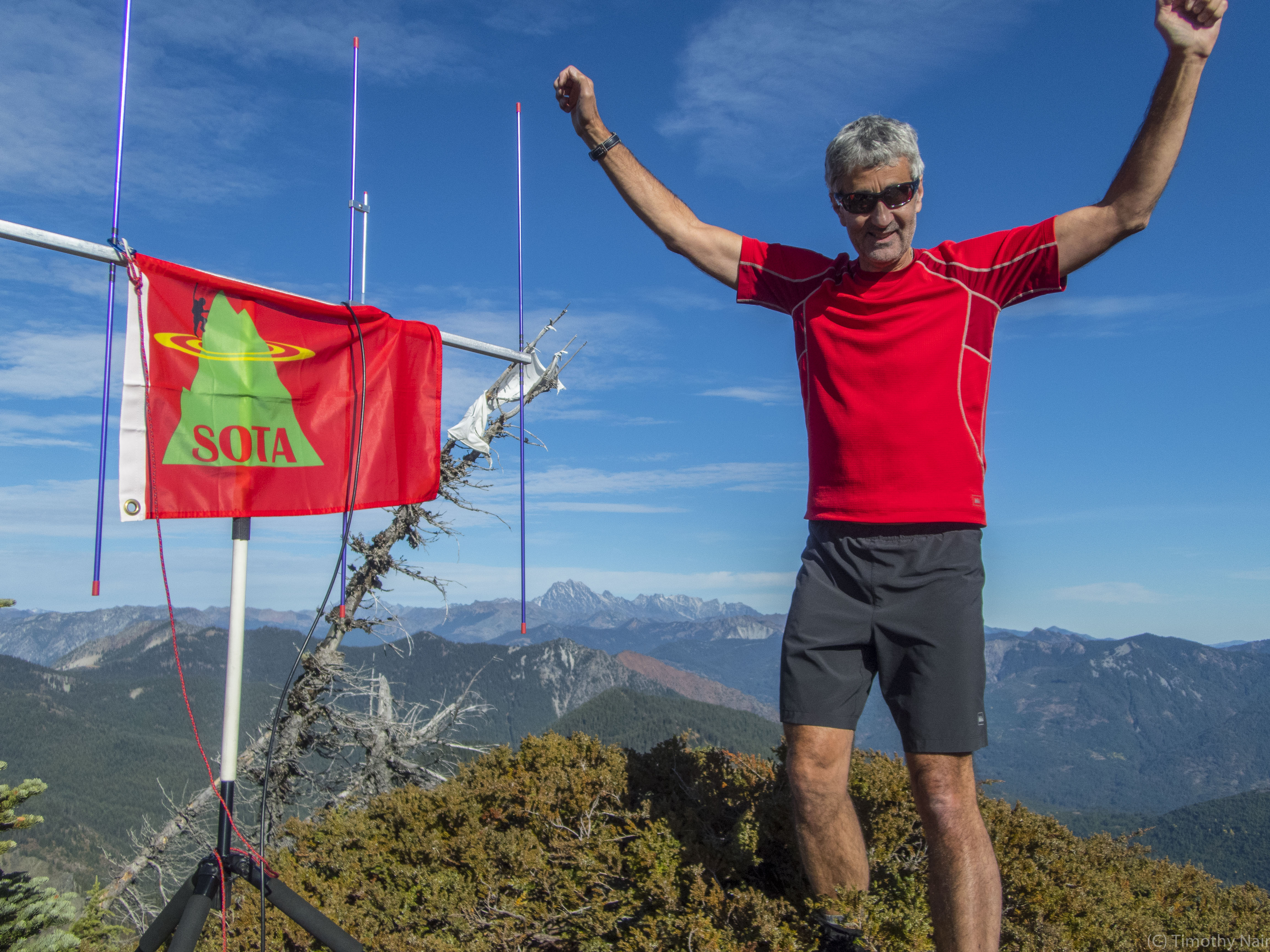
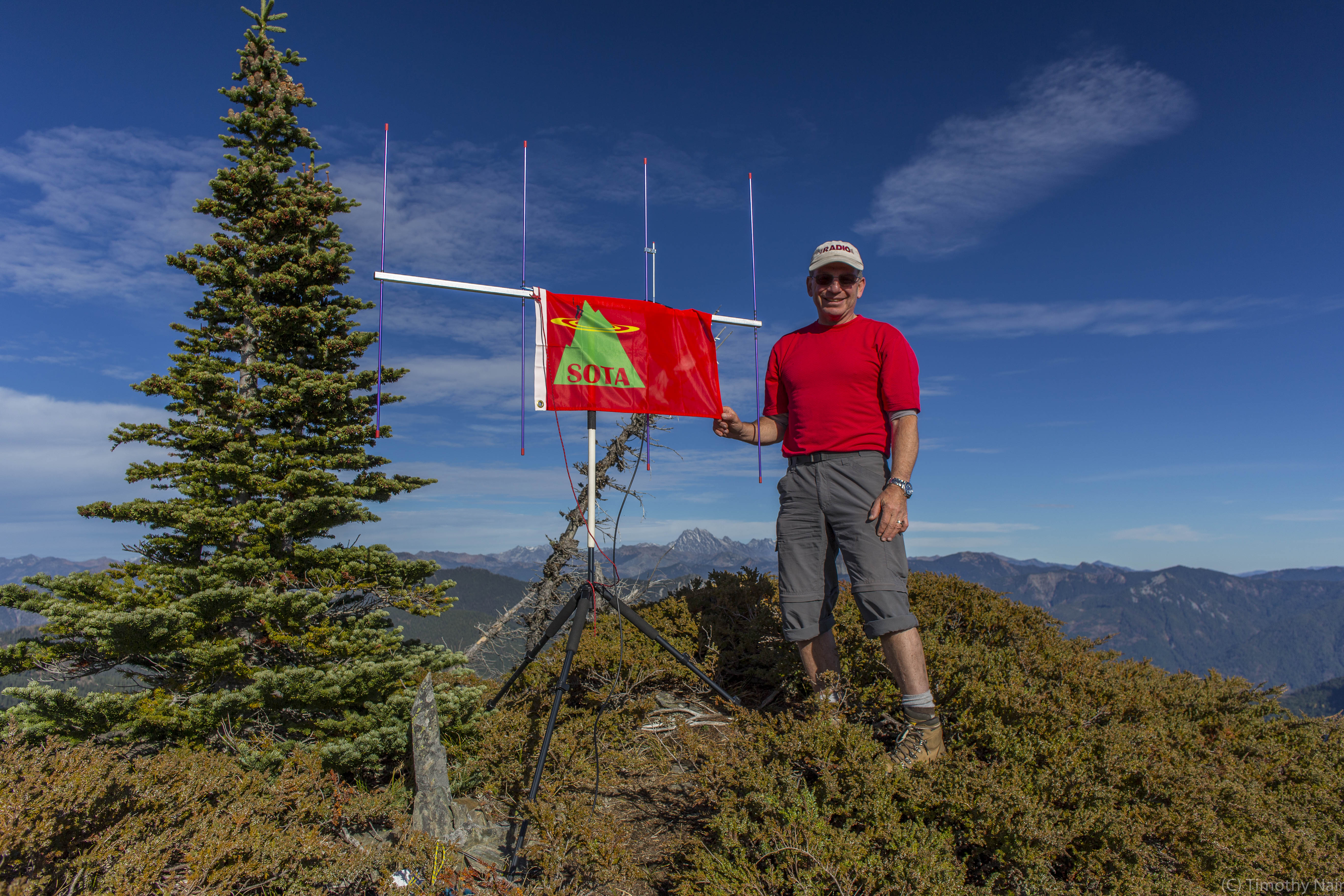
One of the last beautiful Fall weekends of 2015, yielded an activation of Thorp Mountain and Hard Knox Mountain together with my "SOTA Buddy", KG7EJT and Dexter the SOTA Dog. The weather was superb, a successful dual activation, including a First Activation of Hard Knox, followed by a great dinner and local "Brew" in Roslyn, Washington, made for one of the more memorable SOTA outings in my career! The views, and great access, make this a highly recommended double SOTA objective. This report describes Hard Knox Mountain Activation. Thorp Mountain Activation is listed under a separate report.
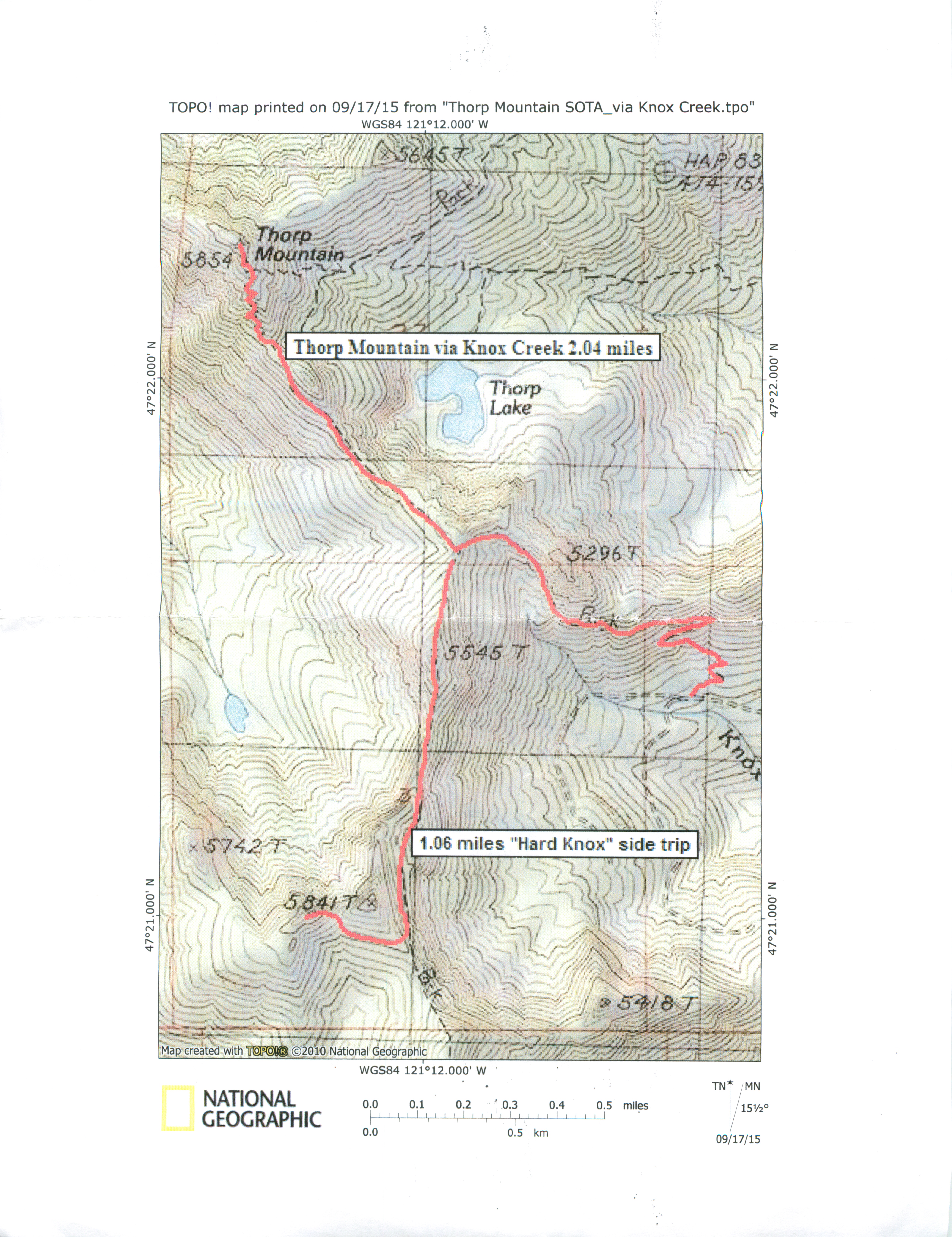
I had scouted out this dual Activation for some time. With a great forecast, good company and fully charges batteries, we were ready to go! Access to the trail is from the Salmon la Sac Road, from I-90. Drive the access road from I-90 through the towns of Roslyn and Ronald (watch your driving speed through these towns!). Turn west (left) onto NF-4308 towards Thorp Creek / French Cabin Creek area. At the intersection of NF-4308 and NF-4312 continue straight on NF-4308. The trail head is at 4,200 feet, doable in a sturdy sedan, but higher clearance vehicles recommended. The Thorp Mountain Trail is well signed, and on the right (uphill) side of the road. there is ample parking for a few cars. Approximately 2 hours Bellevue to TH.
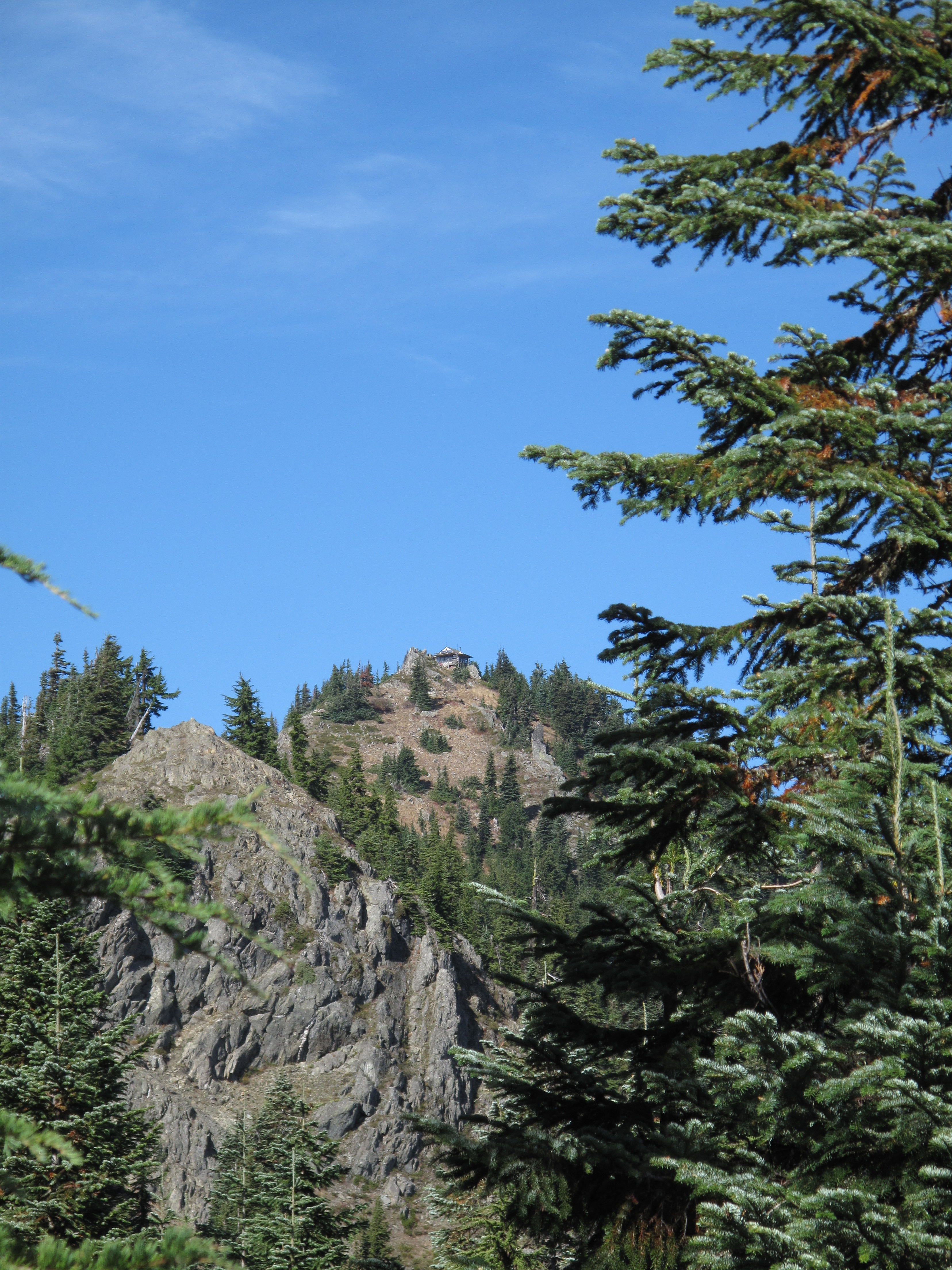
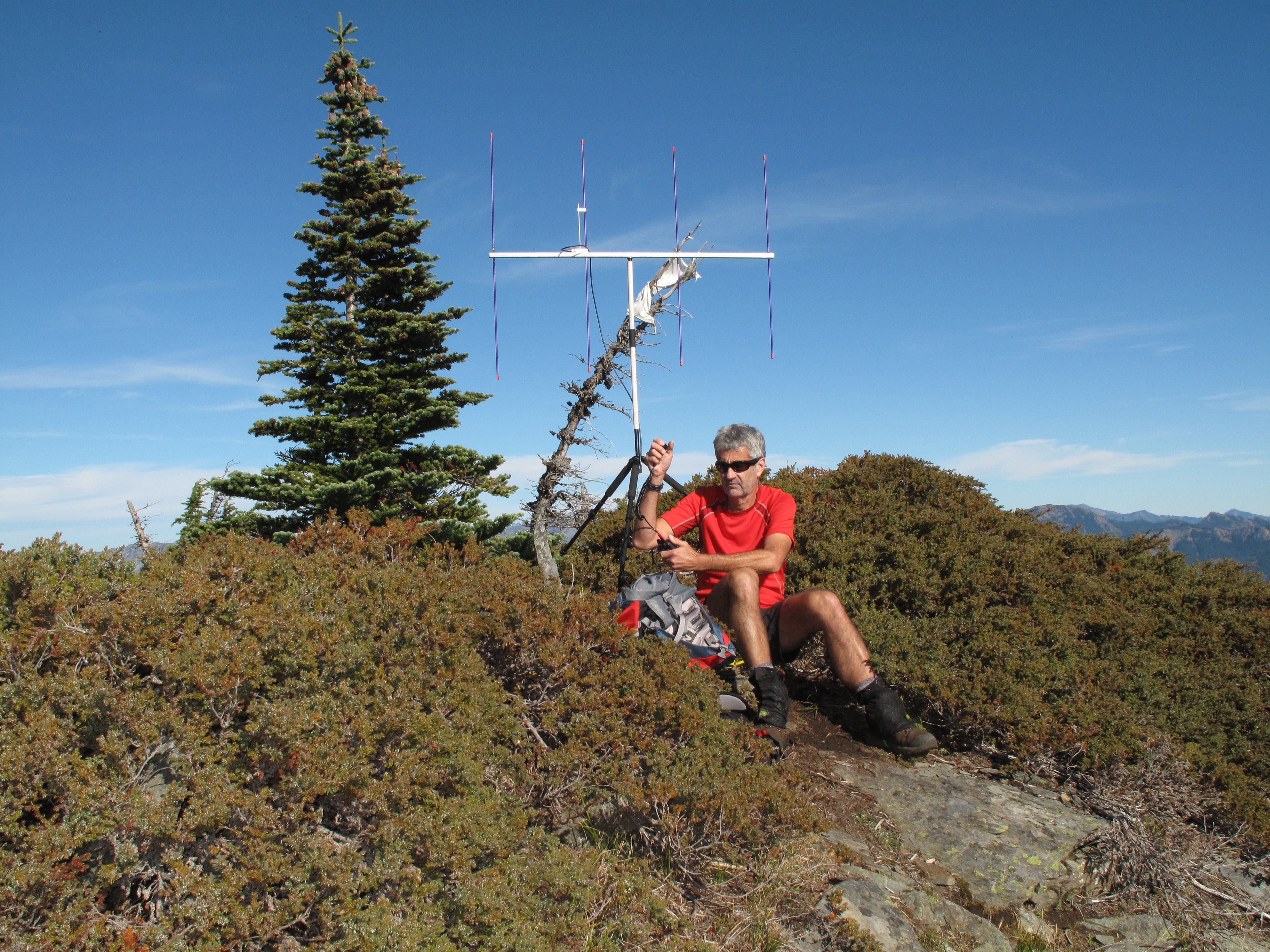
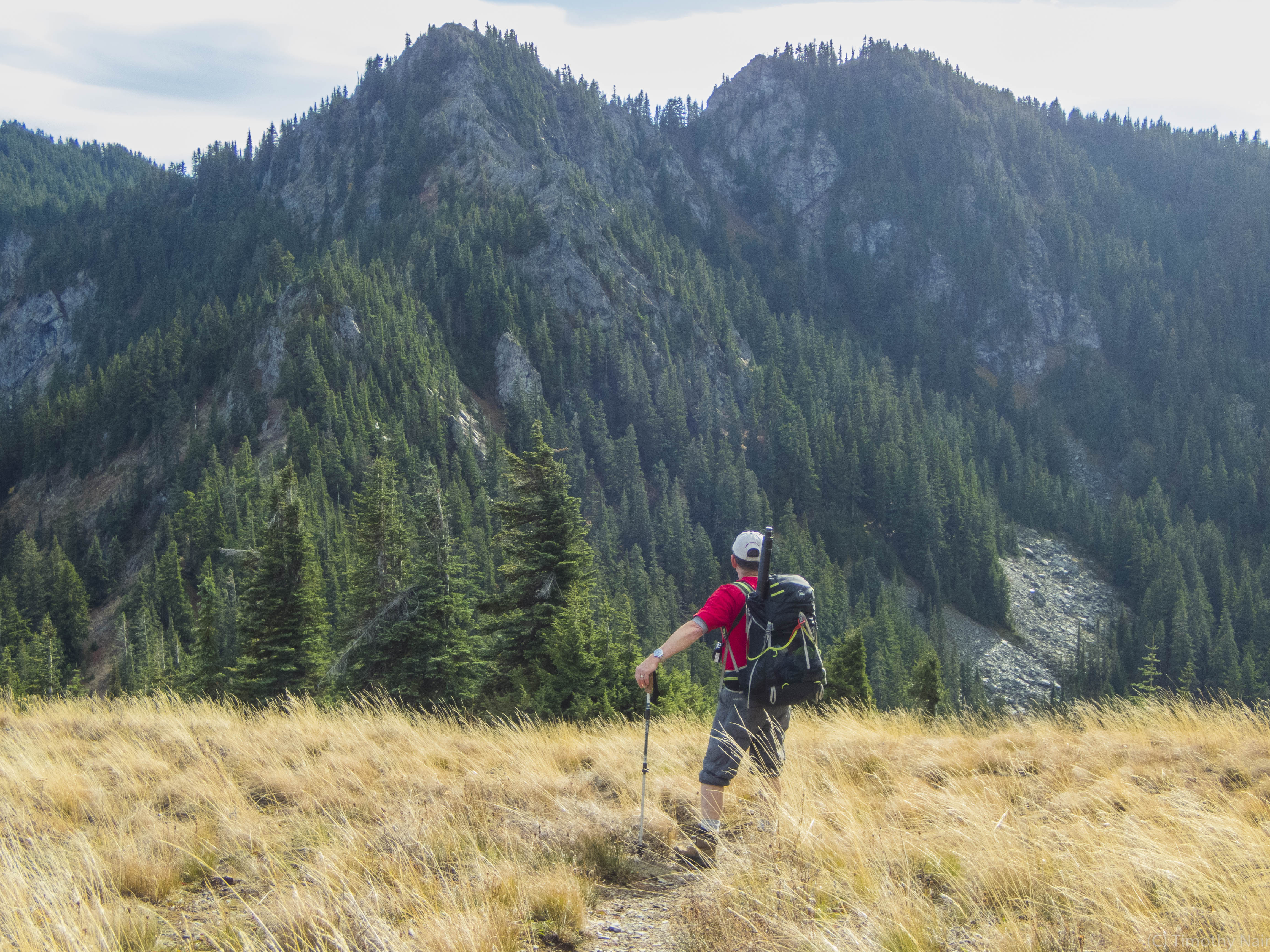
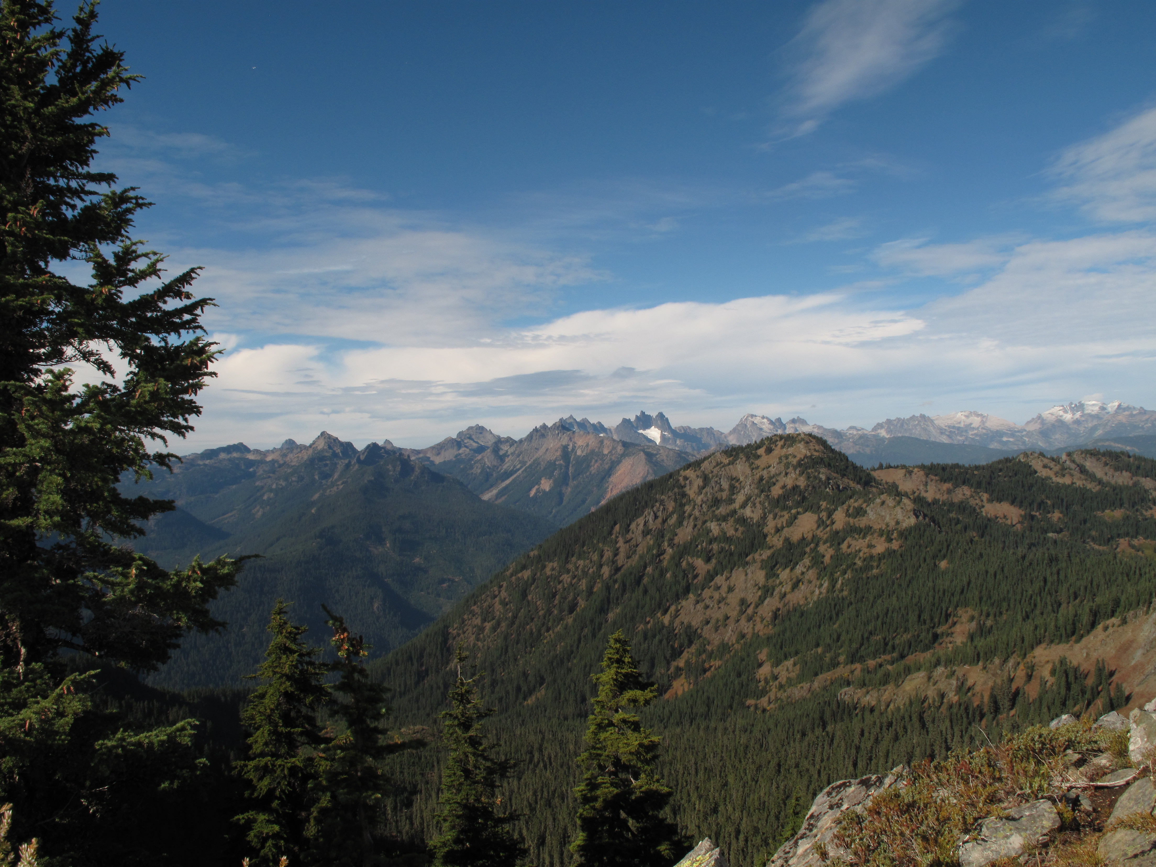
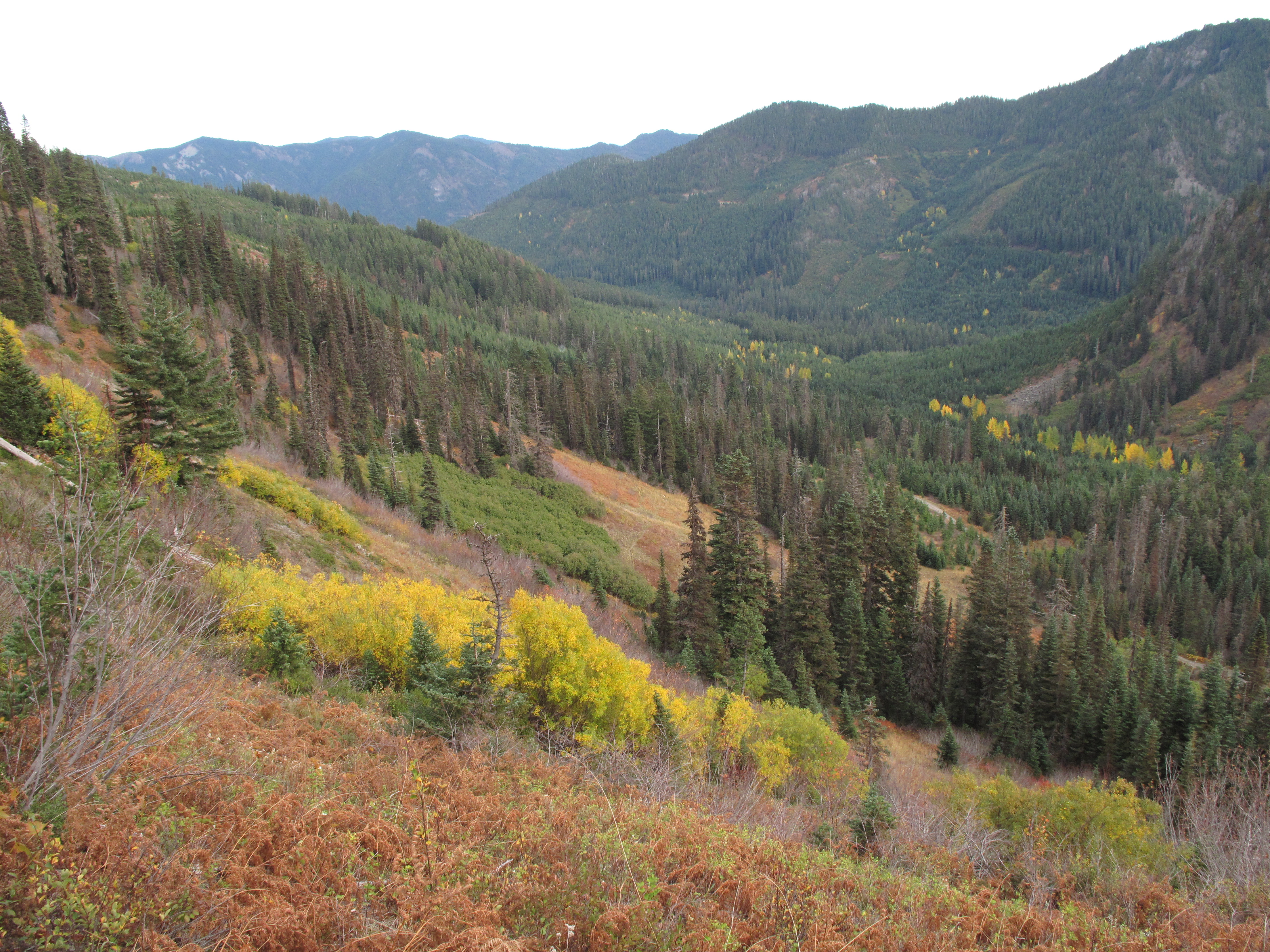
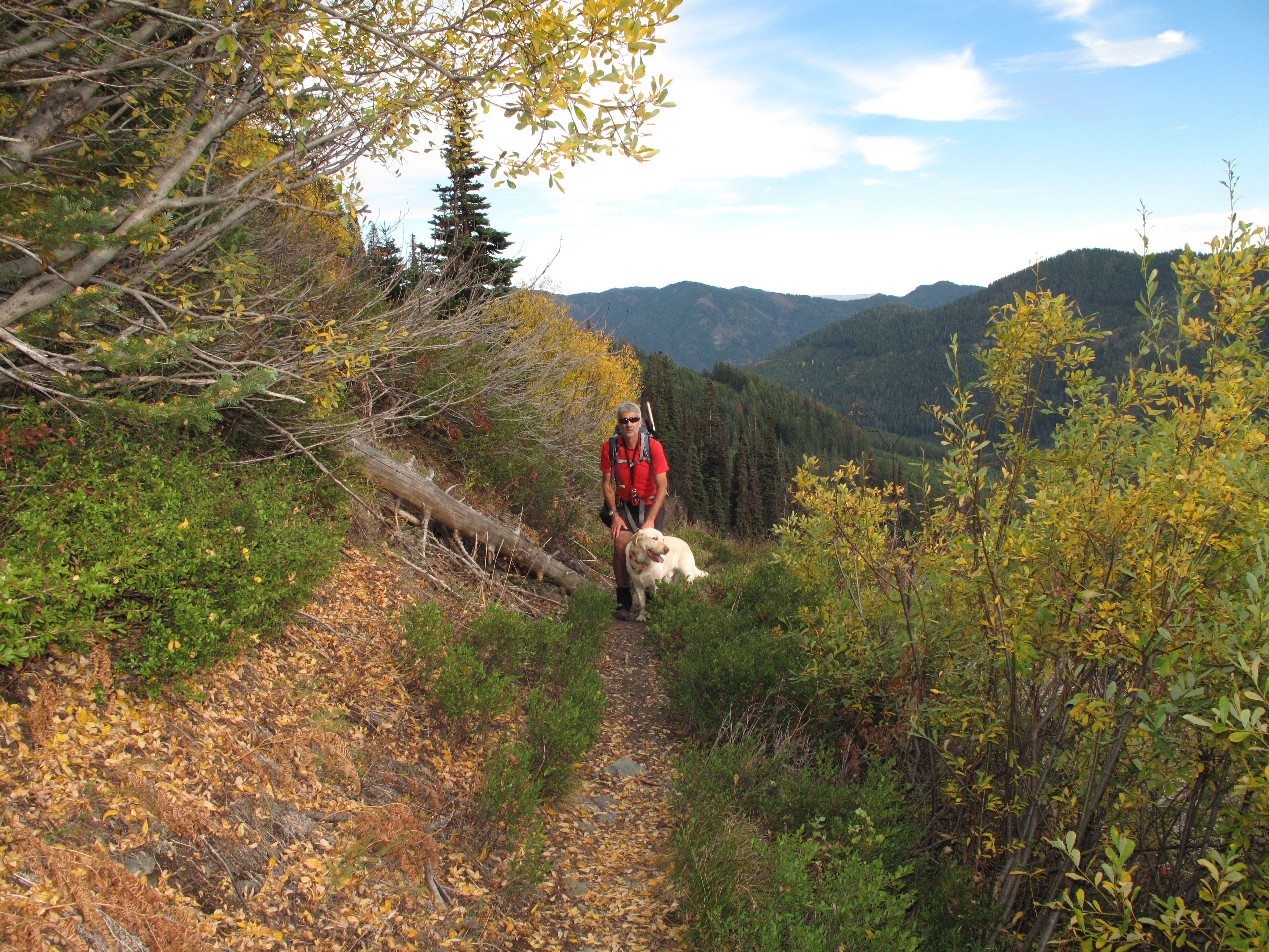
After hiking up to Thorp Mountain, and successfully Activating it, we were ready to head over to Hard Knox, and try our hand at a second Activation. It was approximately Noon. We could see portions of the route over to Hard Knox, but not the entire route, as the intervening high points along Kachess Ridge blocked the view. The route involves descending about 570 feet by trail from Thorp Mountain summit to the junction of Knox Creek Trail (AKA Thorp Mountain Trail) with the Kachess Ridge Trail. From there, we stayed on the Kachess Ridge Trail, going southbound for about 1 mile until we passed the steep cliffy East face of Hard Knox point 5,841. We then were able to enter the south facing basin on Hard Knox Mountain, and travel up the open slopes and heather and rock benches to the summit. By 1:15 PM we were at the summit, and by 1:45 PM, after a lunch break, Tim was set up and making contacts. I was just a few minutes behind him, once again set up for HF, entirely on 40M. This time, I only made 7 contacts in a span of approximately 27 minutes. My most memorable contact was with K2E, a Special Event Station aboard the USS Hornet, in Alameda Point, San Francisco Bay, California. I was honored to learn of the illustrious past of this magnificent WWII vintage aircraft carrier. See:
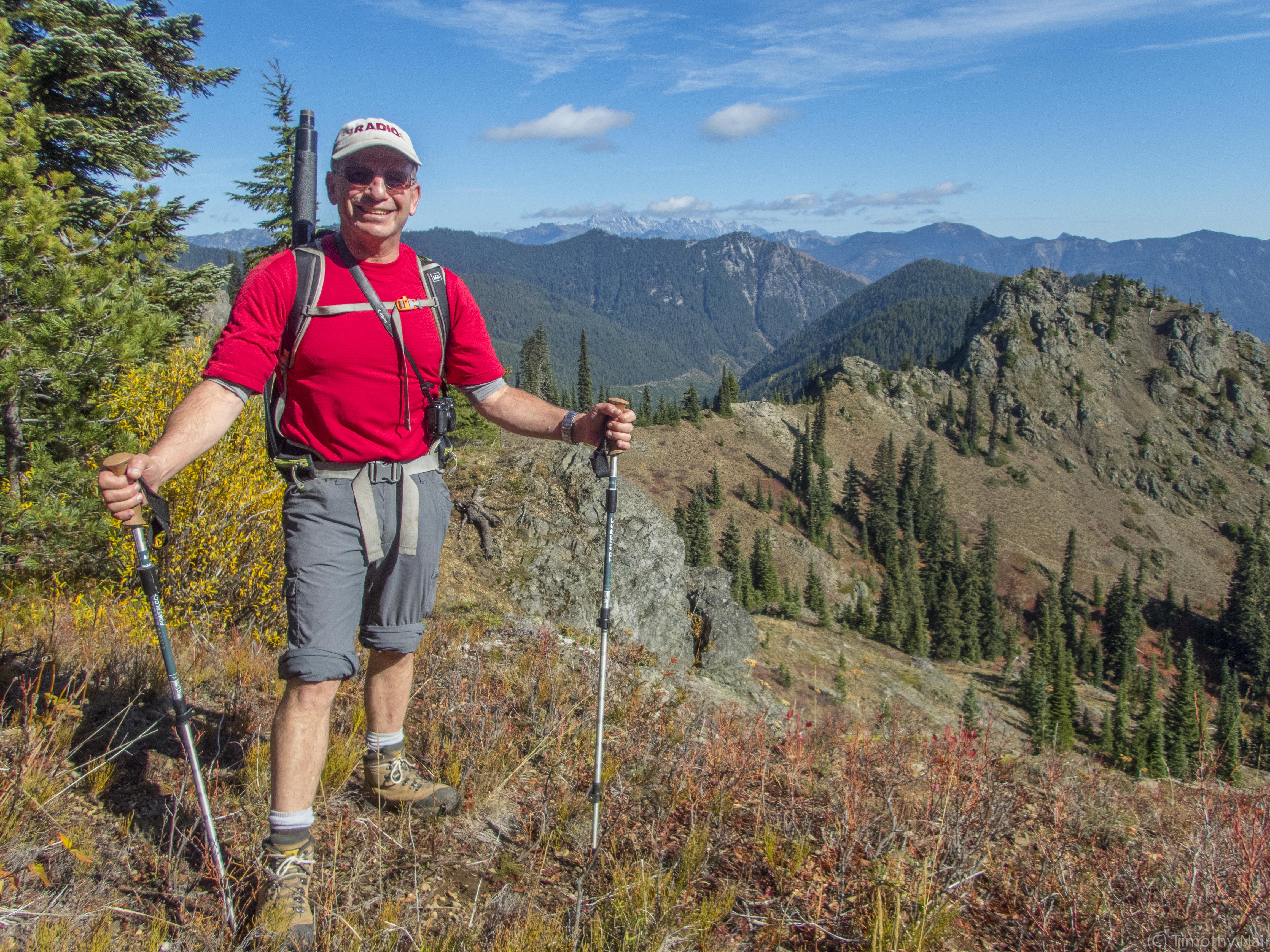
Tim had a harder time making contacts from Hard Knox. However he stuck with it, and made 7 contacts on 2M FM by about 2:30 PM. By approximately 2:45 we were packed up and ready to head down. The views heading Northbound on the Kachess ridge Trail were magnificent, and we stopped to take many pictures along the way. By 3:25 PM we were back at the car, having taken about 6 hours car to car. The total milage is approximately 6.5 miles, with an approximate total elevation gain of 2,850, including several up and down sections.
Thank you to all of my Chasers and Contacts. I worked: AI6U; W6RJK; K6STX; K6YK; AE7CJ; AC7KA; and K2E, the Special Event Station.