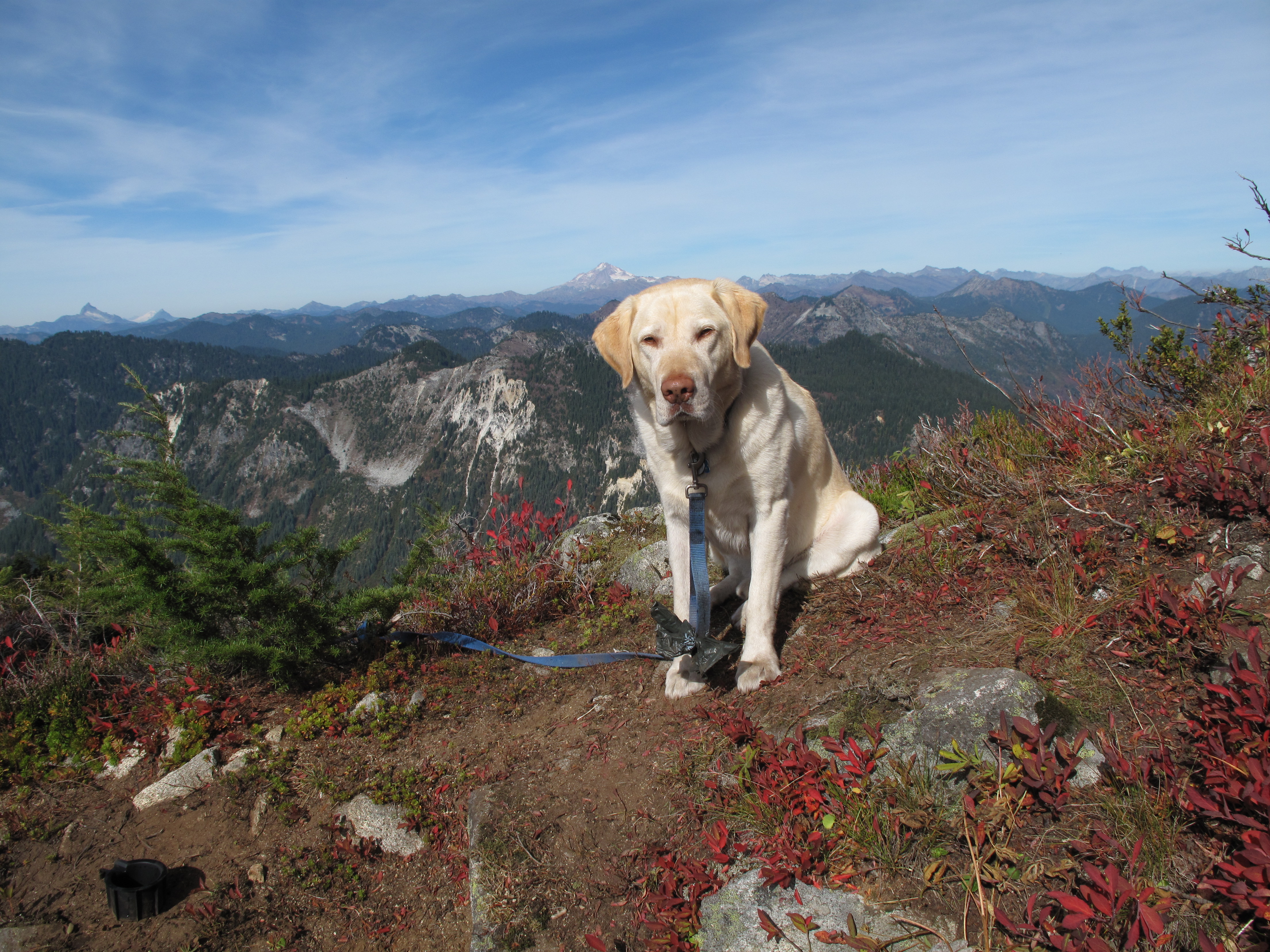
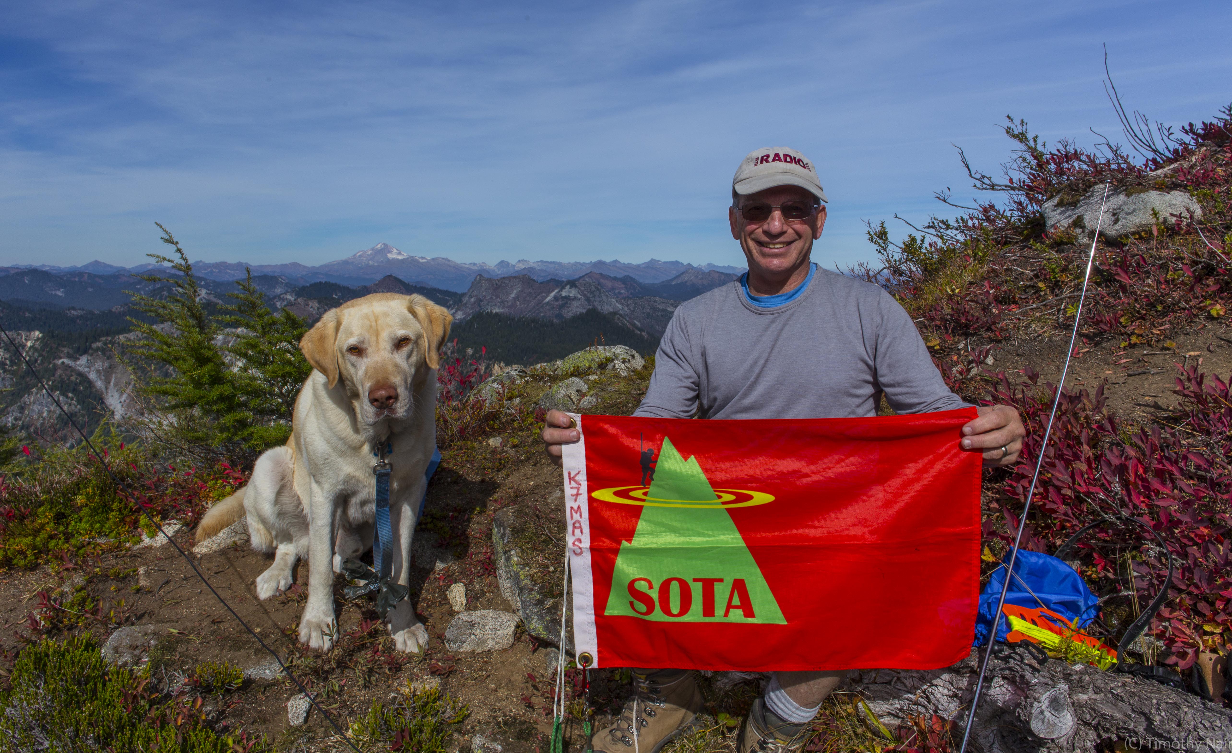
A nice fall day, good company of Tim, KG7EJT and Dexter the SOTA Dog, a successful joint First Actvation of Cowboy Mountain (including a S2S contact with VA7JBE/7 on the summit of Mount Baker) and nobody else anywhere near the summit itself, made for a very nice outing.
Having recently Activated Big Chief Mountain (09/11/2015), also part of Stevens Pass Ski Resort, I was determined to return and try Activating the westerly anchor of the ski resort, Cowboy Mountain. See: http://www.stevenspass.com/site/mountain/maps/trail-map/index.html/2015… . Fortunately my friend Tim, KG7EJT had taken a day off from work, and so was available to go out on a Monday for a joint Activation.
A note about both Big Chief Mountain and Cowboy Mountain: both are accessed through the ski area. So these are not a true wilderness experience, but do offer very easy road access, food and facilities before or after an Activation and the safety and proximity of people around. The views from both summits are outstanding as well.
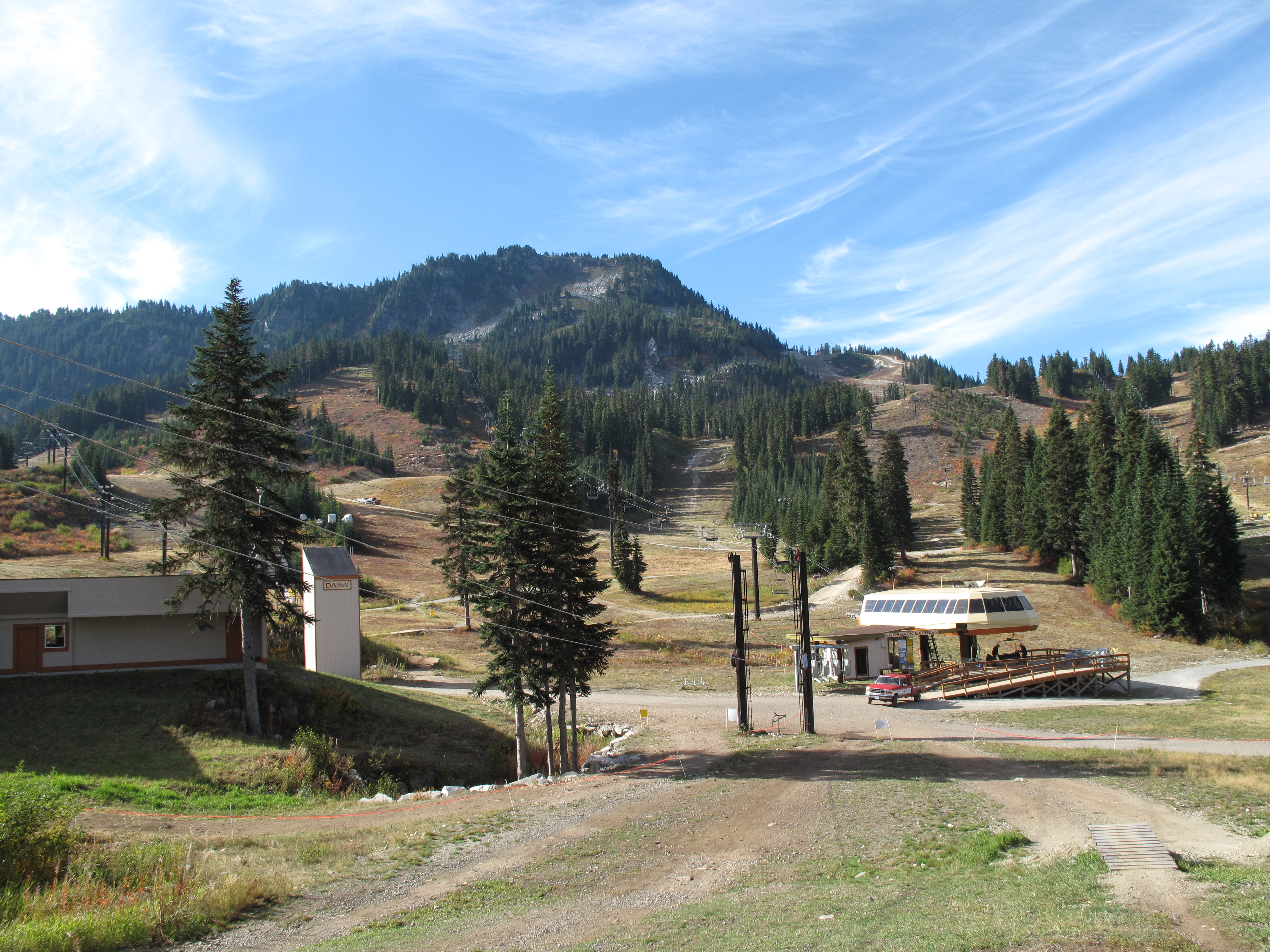
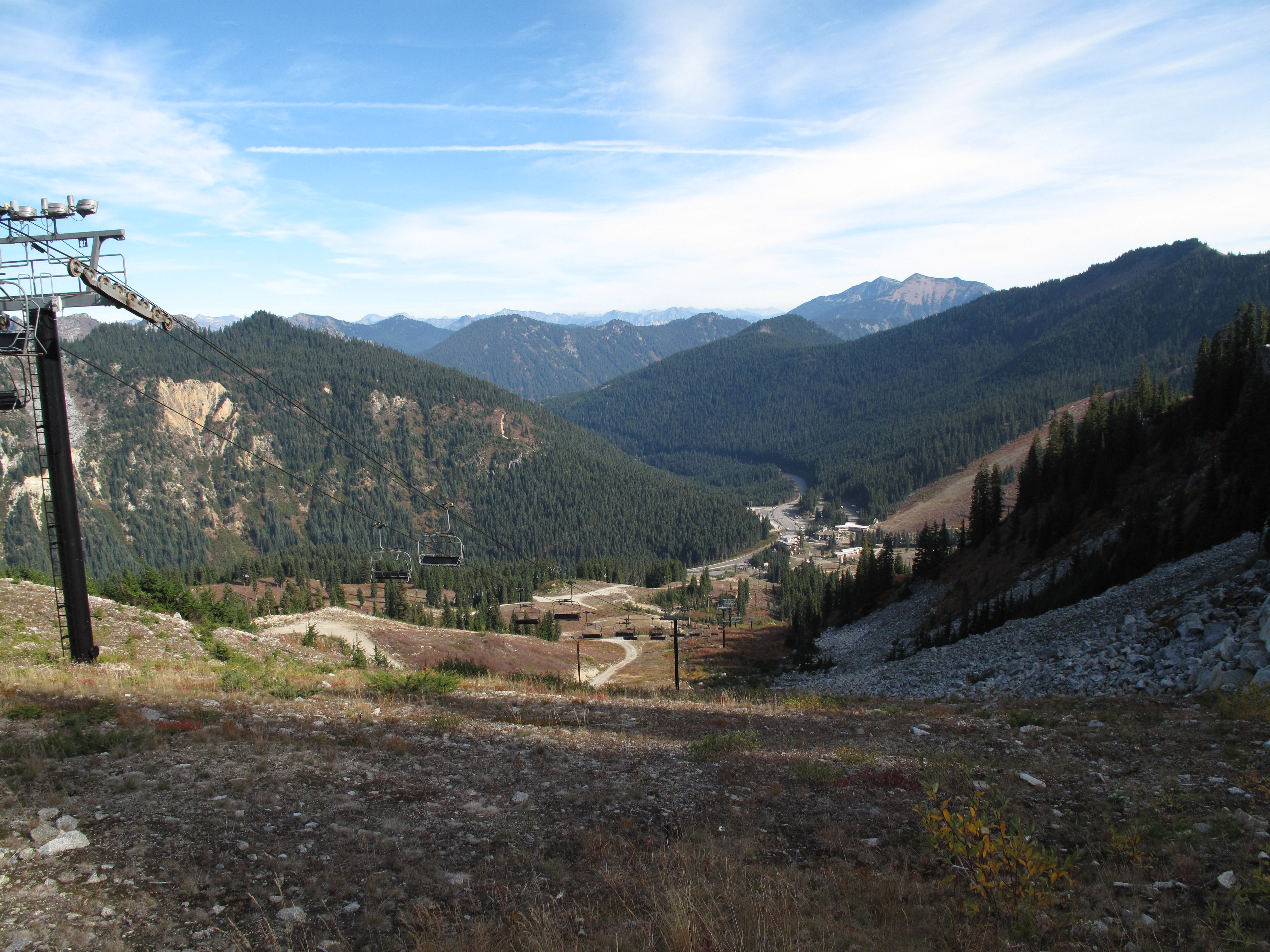
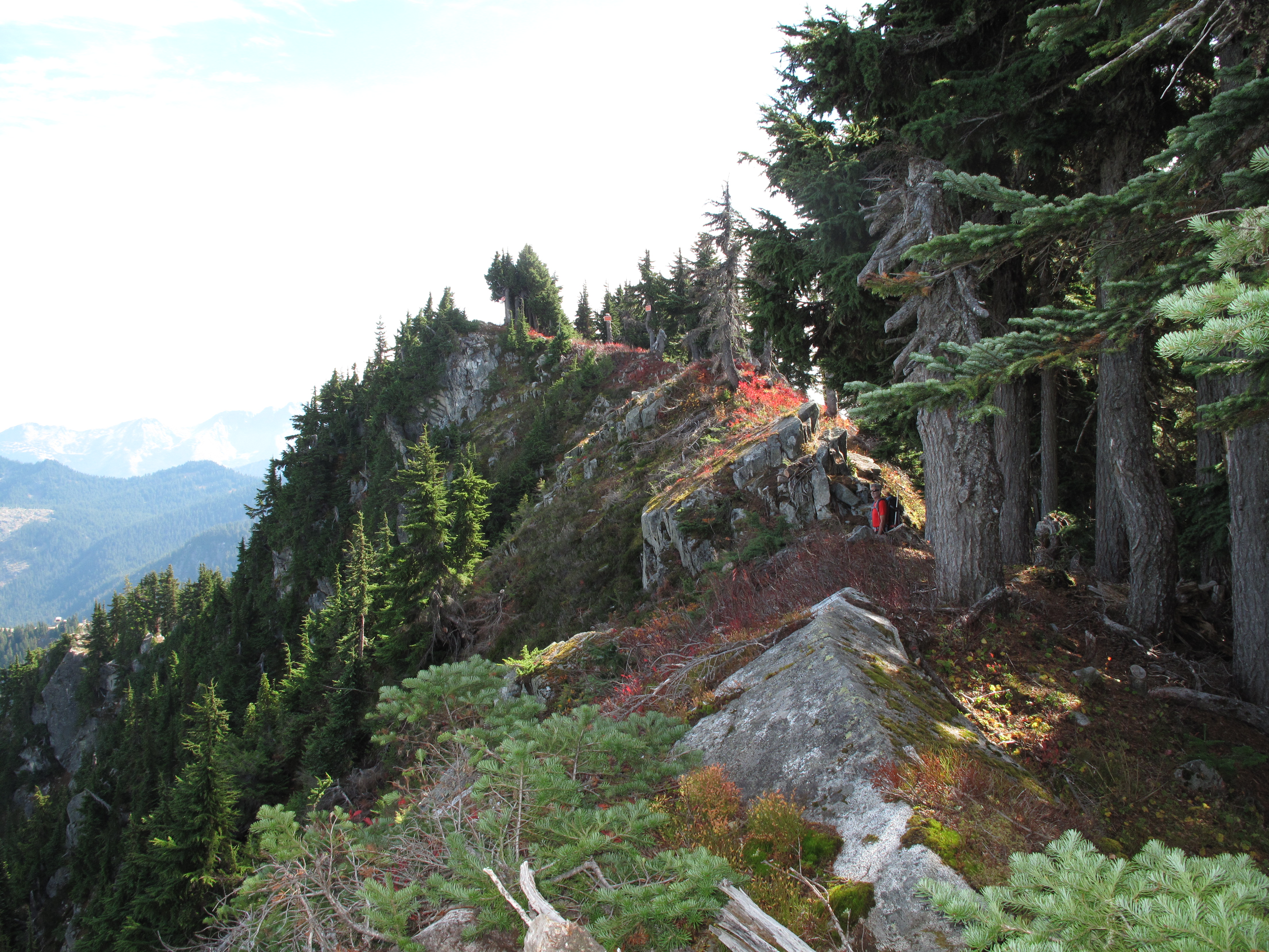
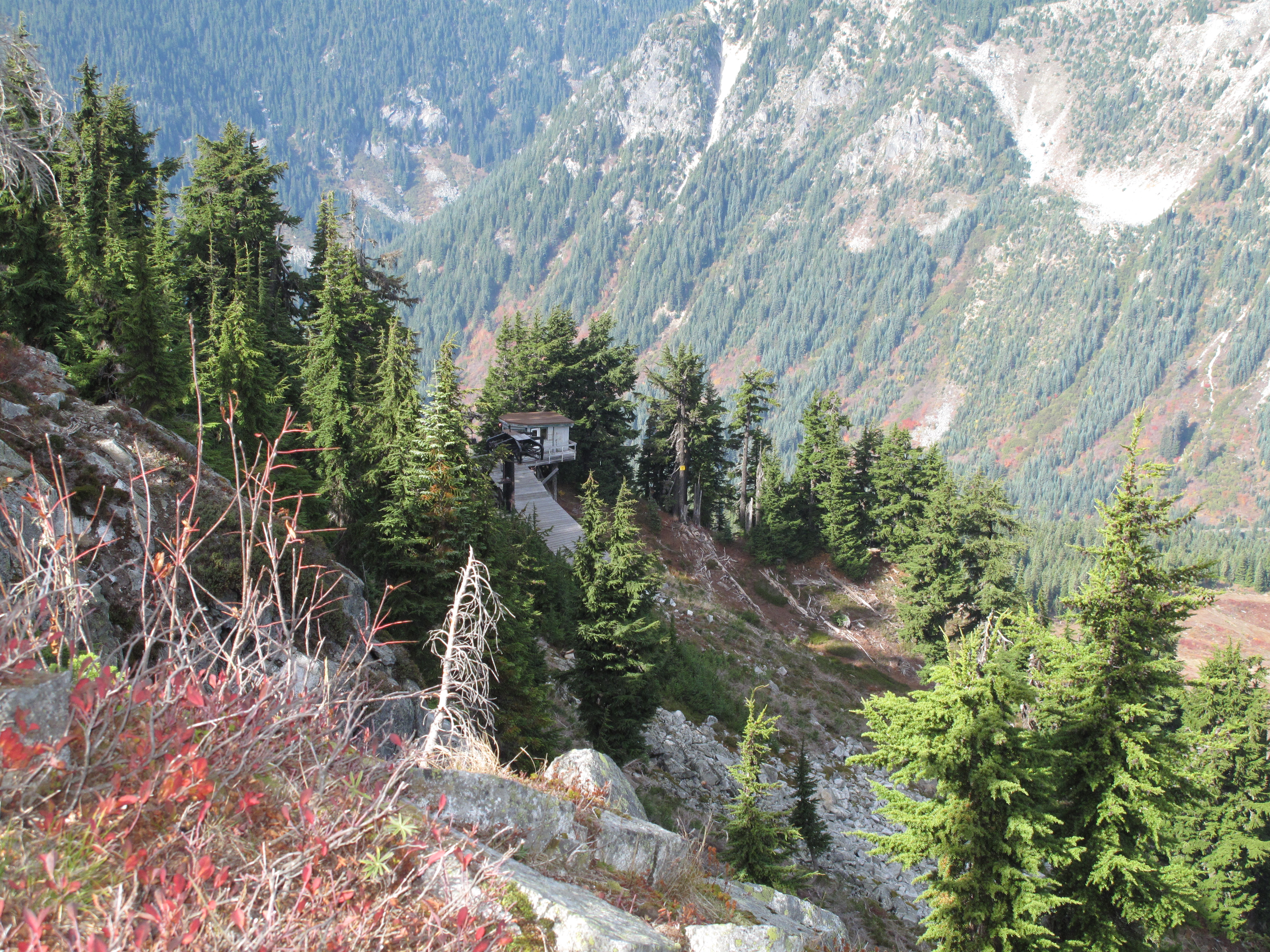
The overall distance from car parking to summit is about 2 miles each way. The elevation gain is approximately 1,800 feet. The route comprises of hiking the ski slopes on heather meadows on the front of the mountain, to the top of Skyline Express chair. The ski area is slightly abuzz with end of summer season activities and start of preparations for winter ski season at the moment. From top of Skyline Express chair, cross over the small ridge to a basin holding a seasonal meltwater pond. Following a boot beaten path, start climbing up steeply up the forested west ridge of Cowboy Mountain, reaching the summit ridge after climbing about 500 - 550 vertical feet. After gaining summit ridge, turn approximately east, and climb the final ridge to the summit, gaining the final 50 feet or so. There are a couple slightly exposed places along the ridge. See photos.
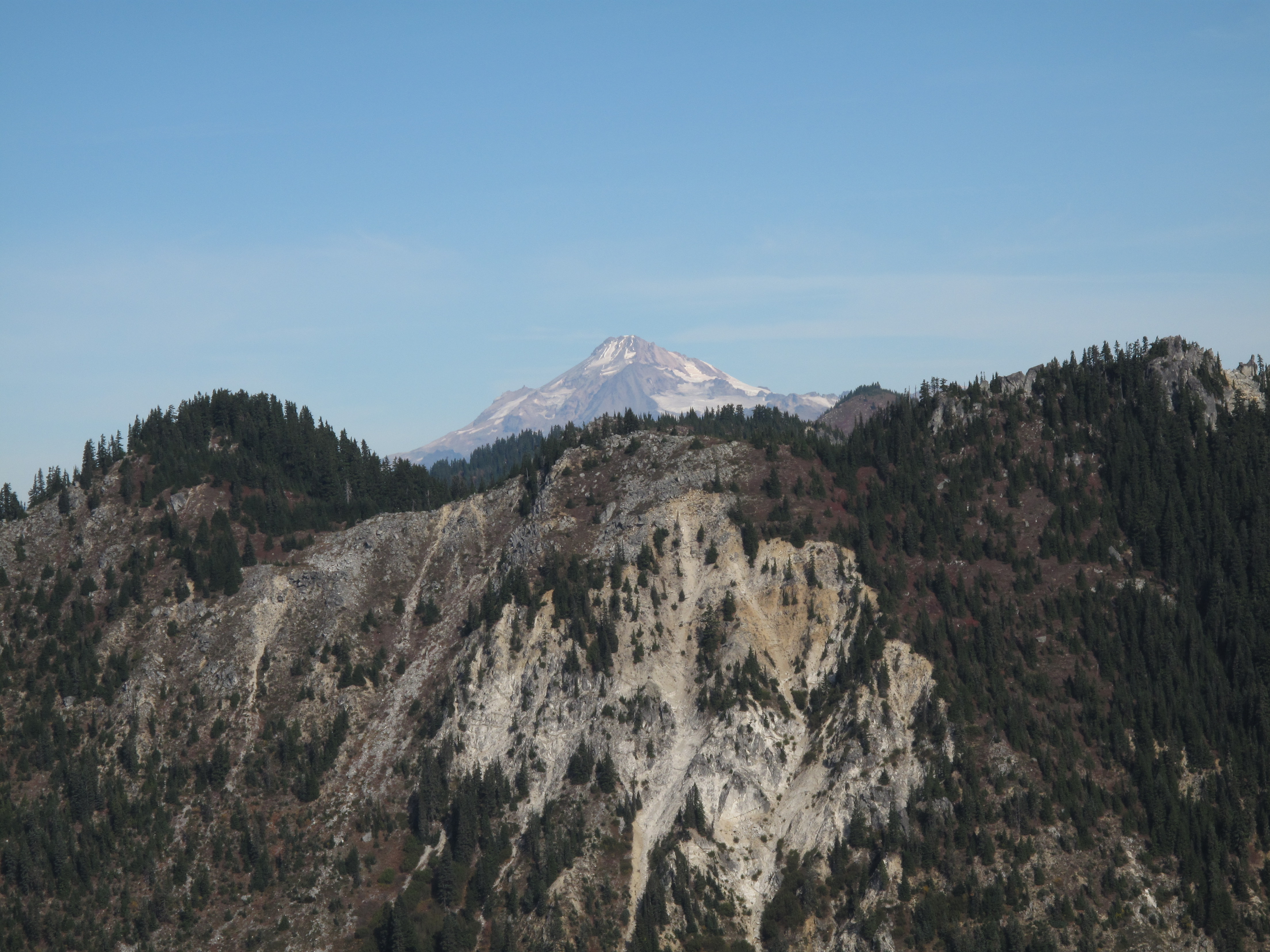
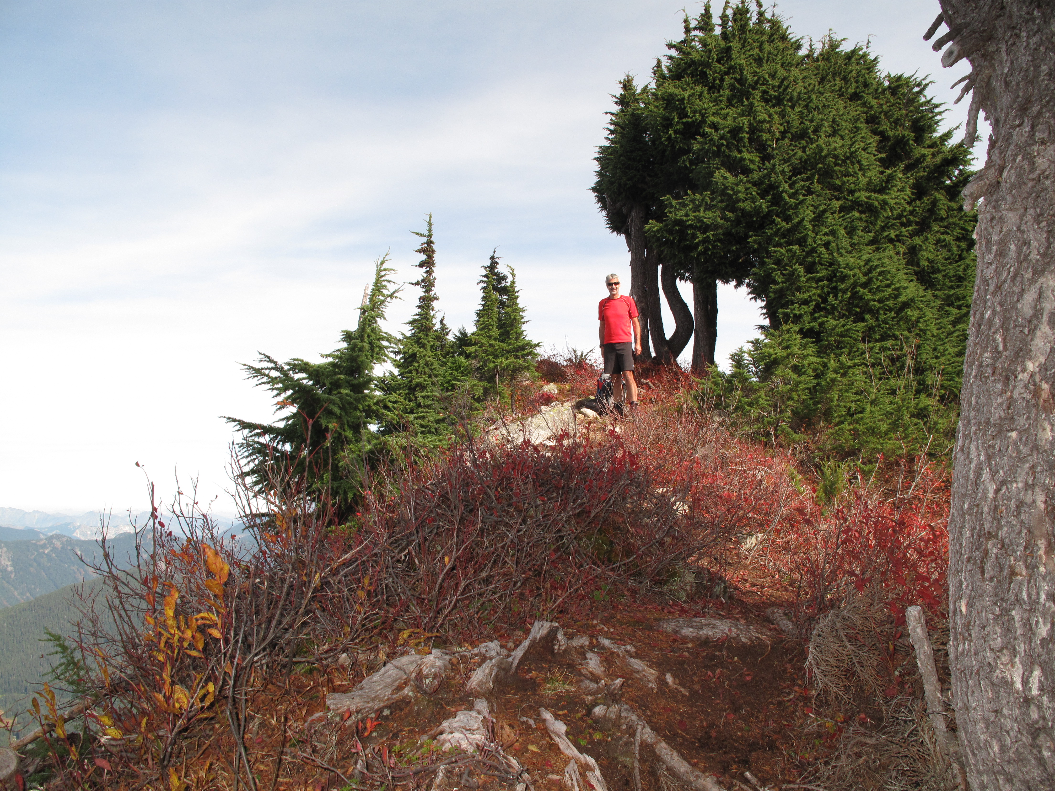
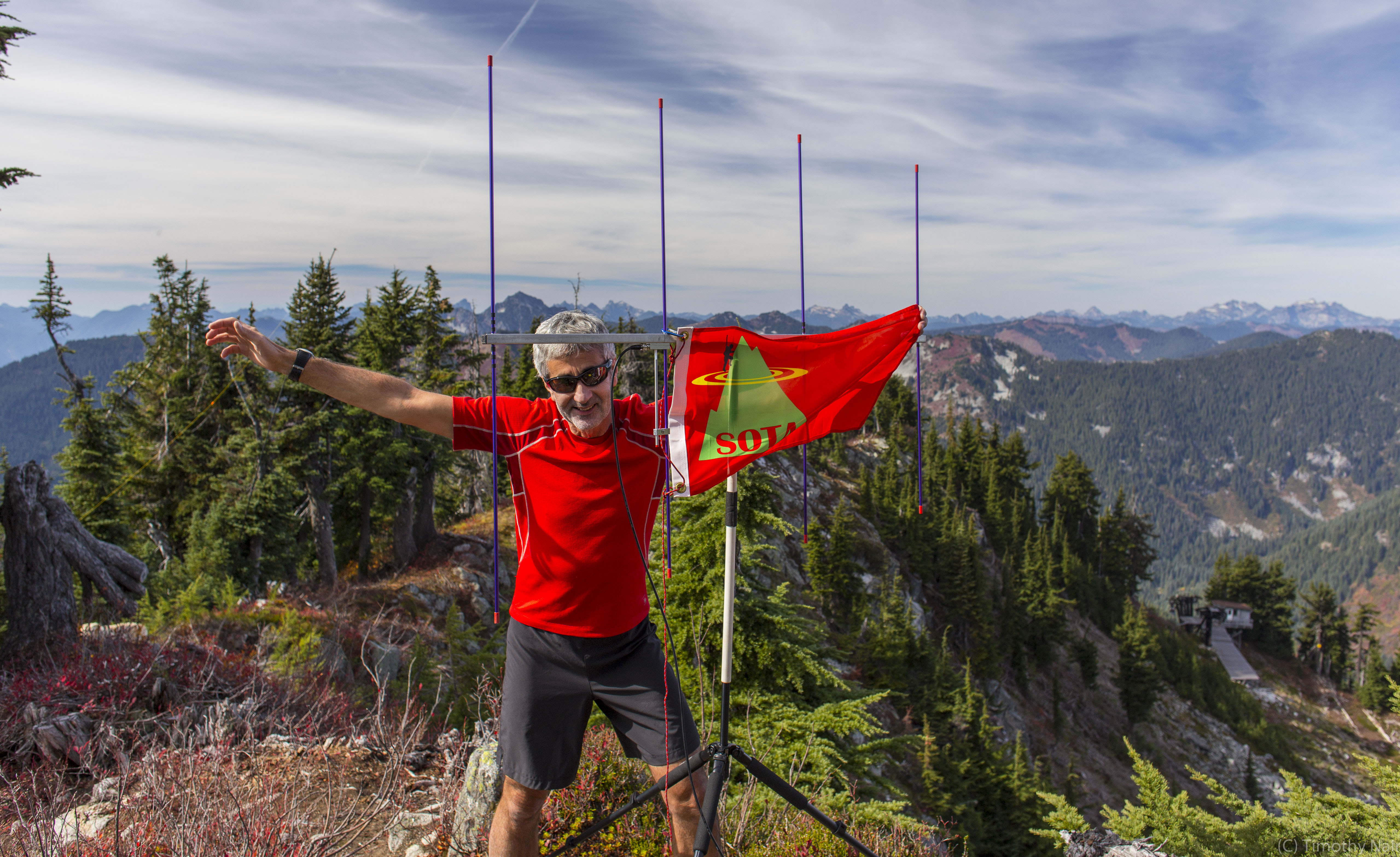
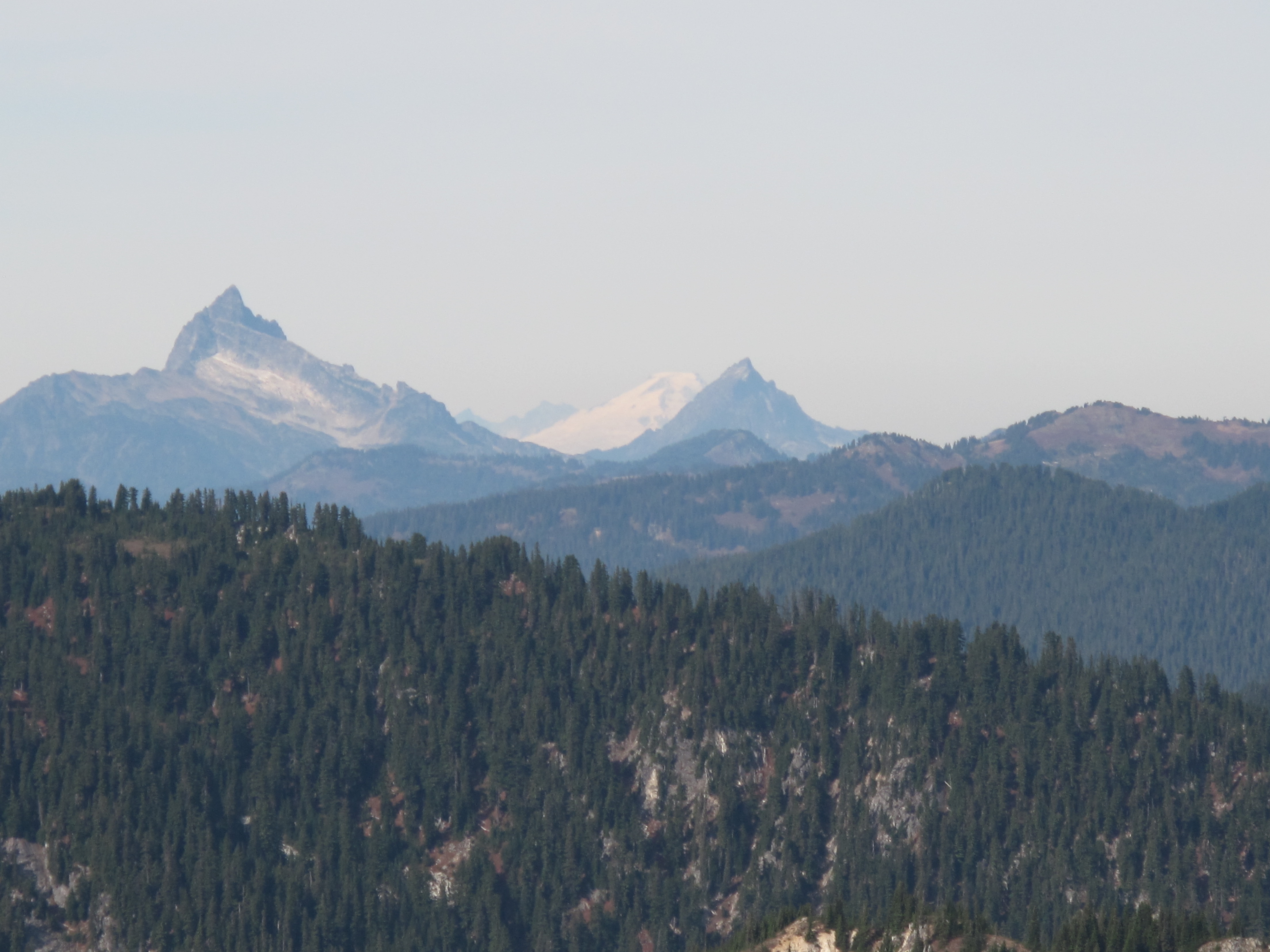
The summit area is generally open to the north, and treed to the south. The views to the north are fantastic, with Glacier Peak, Sloan Peak, Monte Christo Group and hundreds of other mountains in the distance. In the far distance we saw Mount Baker, which was of special interest to us, as there was an Activation going on at generally the same time. Ultimately both Tim and I made S2S contacts with VA7JBE/7 from Cowboy Mountain to the summit of Mount Baker (W7W/WH-001).
Tim set up, very near the actual summit, for 2M FM, using his trusty 4 element Yagi Arrow antenna. I set up about 30 lineal feet away for 40M ssb, using my usual 20M / 40M inverted V dipole. We soon were enjoying ourselves immensely, making contacts in the warm sunshine. After about 1 1/2 hours on the summit, we broke down the equipment, took some additional photos and packed up for the return trip. Being now familiar with the route, and the route being steep & direct, we made quick work of the descent, taking a little more than an hour to reach the ski resort facilities at the bottom. Unfortunately the restaurant had just closed, so we could not avail of some French Fries, that we had been smelling as we approached the base of the mountain.
Thank you so much to my Chasers & Contacts: W7GPP; W6FHZ; VE7WNK; VE6WSD; W7JEE; WW7D; KE7SW; KG5EIU/6; K7ZO; W7CNL; KW6E; NT7U; VA7JBE/7