3 X 3 X 3 X 3 X 3 = Three Activations in three days with three, 3X3 (weak signal) contacts, amongst about 50 contacts overall. During an early Spring vacation in the Bend, Oregon area, we enjoyed all that Central Oregon is famous for! Good spring skiing, snowshoeing, hiking, SOTA Activations, and a sampling of several of the more than 80 breweries that exist in the greater Bend area. This report, number 2 of 3, deals with the Activation of Tumalo Mountain, 7,775 feet, 2,370 meters.
Our base of operations was a rental home in Sun River. We have been vacationing in Central Oregon this way for over 35 years, averaging a trip to Bend / Sun River every 2 – 3 years.
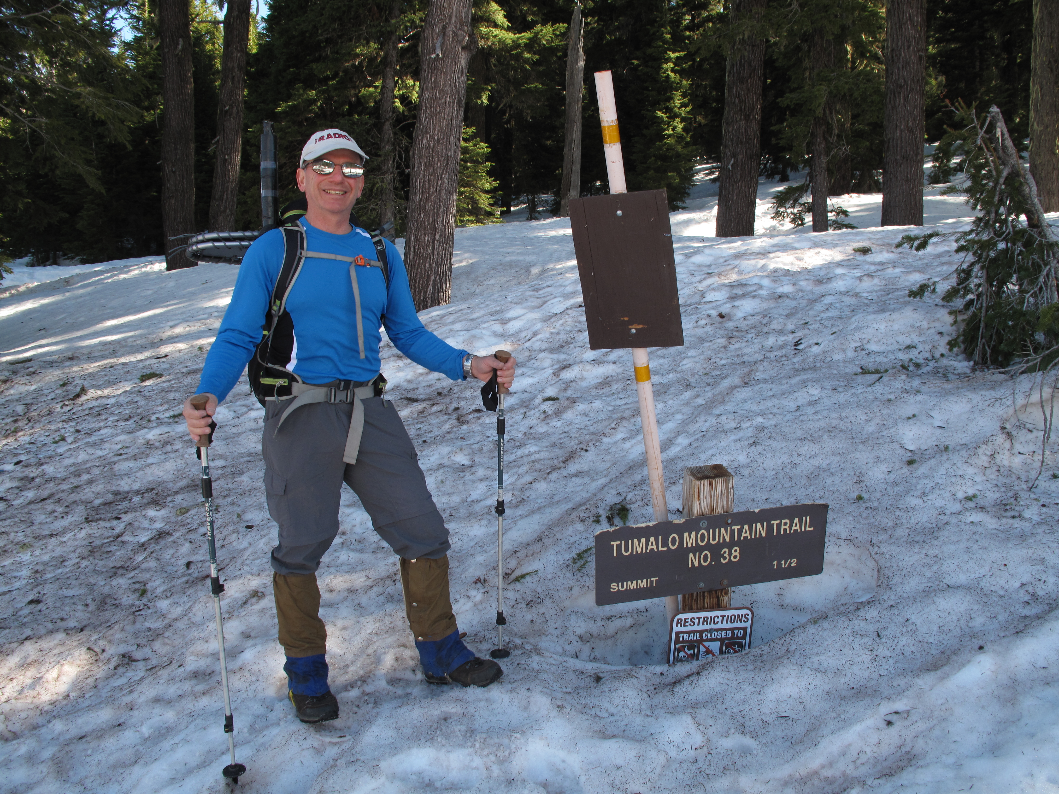
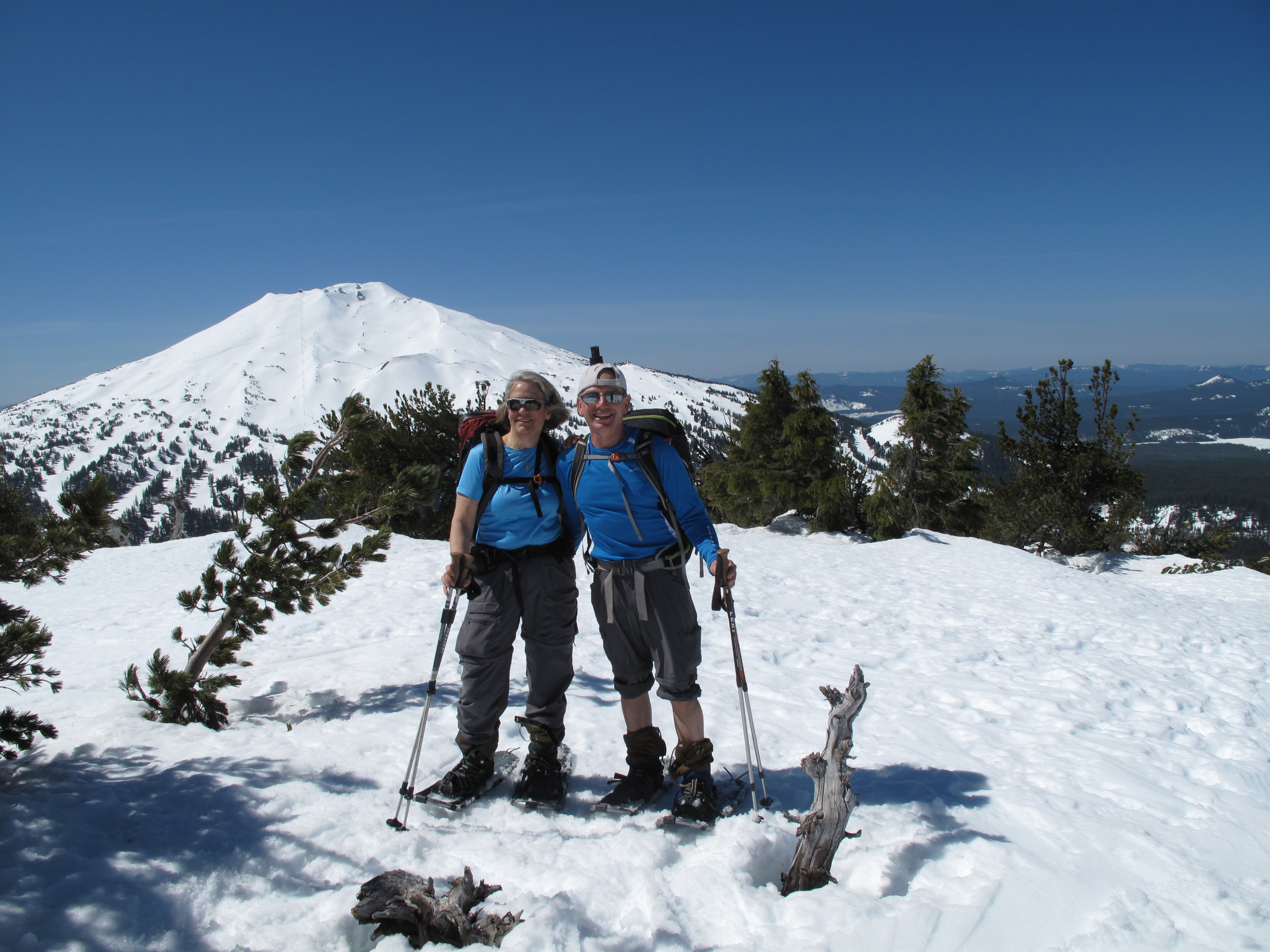
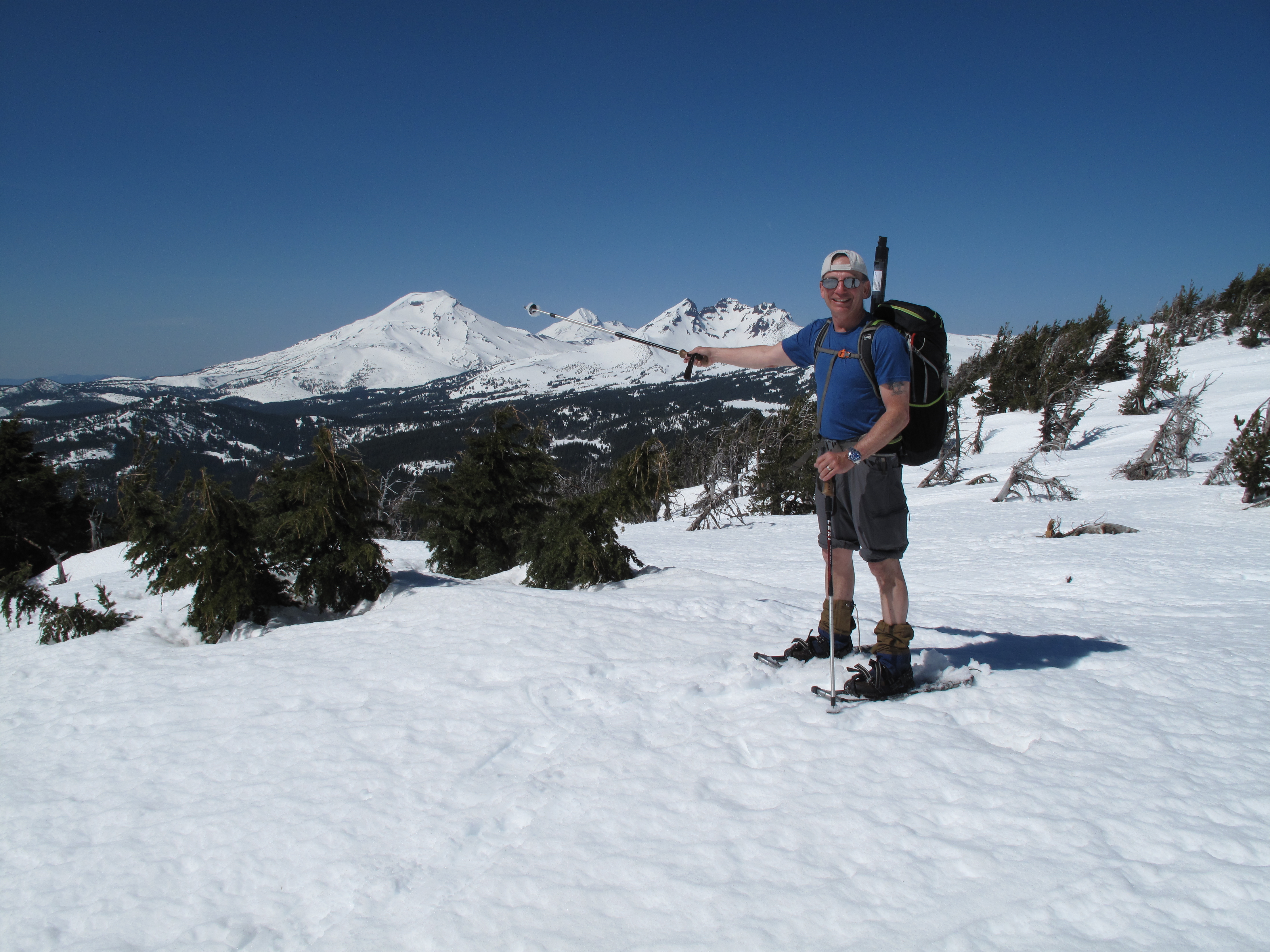
Tumalo Mountain, W7O/CM-011, is a 6 point SOTA Summit in Central Oregon, near the city of Bend. Access is relatively easy, any time of year. This is because it is directly “across the street” from Mount Bachelor, W7O/CM-005. Therefore it is served by the same Cascade Lakes National Scenic Byway that serves as access to Mount Bachelor Ski Resort. Unlike my Activation of Mount Bachelor, Tumalo Mountain was a bit of a hike, or in this case a snowshoe hike, gaining 1,525 feet from the Dutchman Flat Snow Park area to the summit, in about 1.5 miles each way.
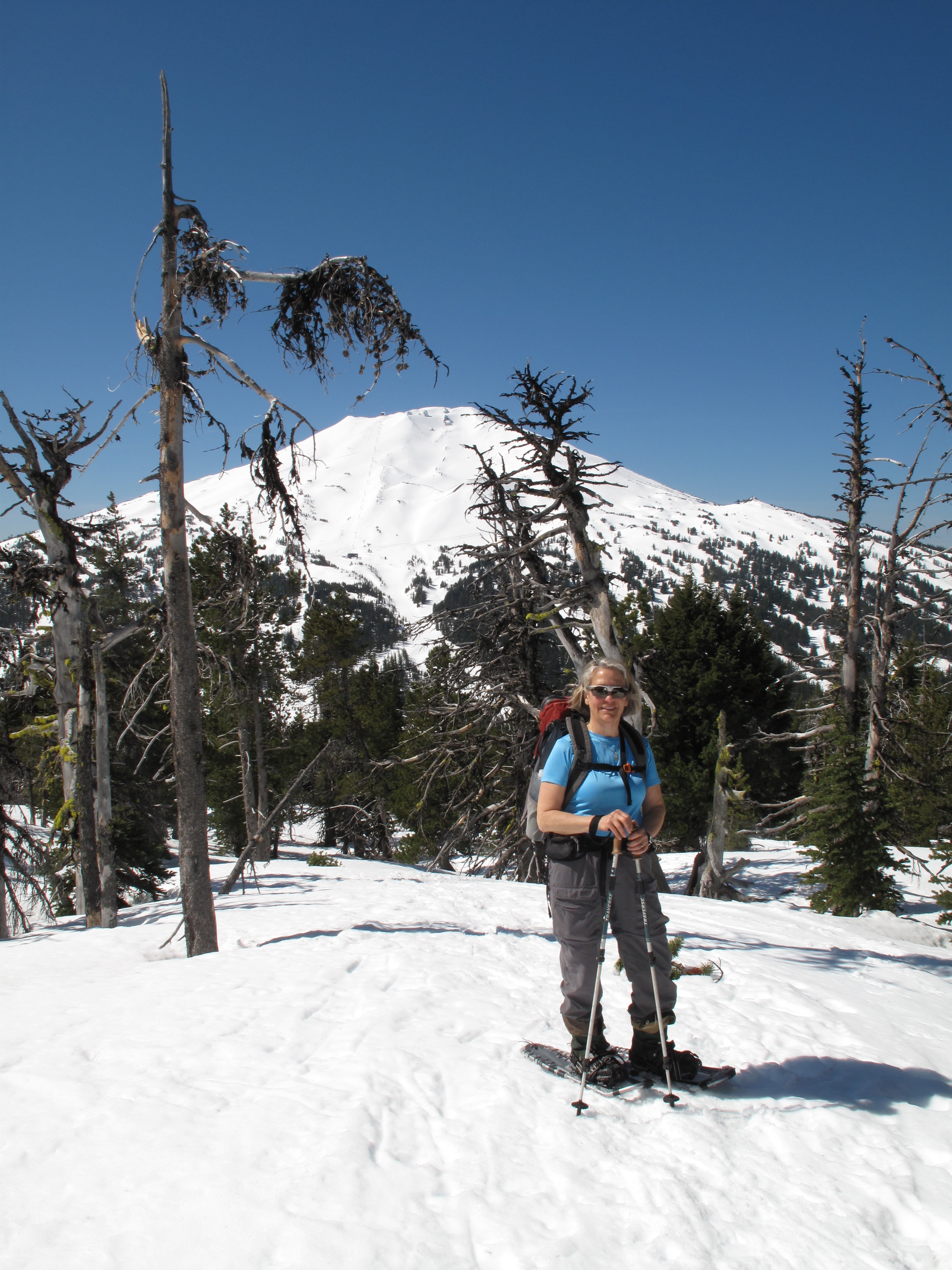
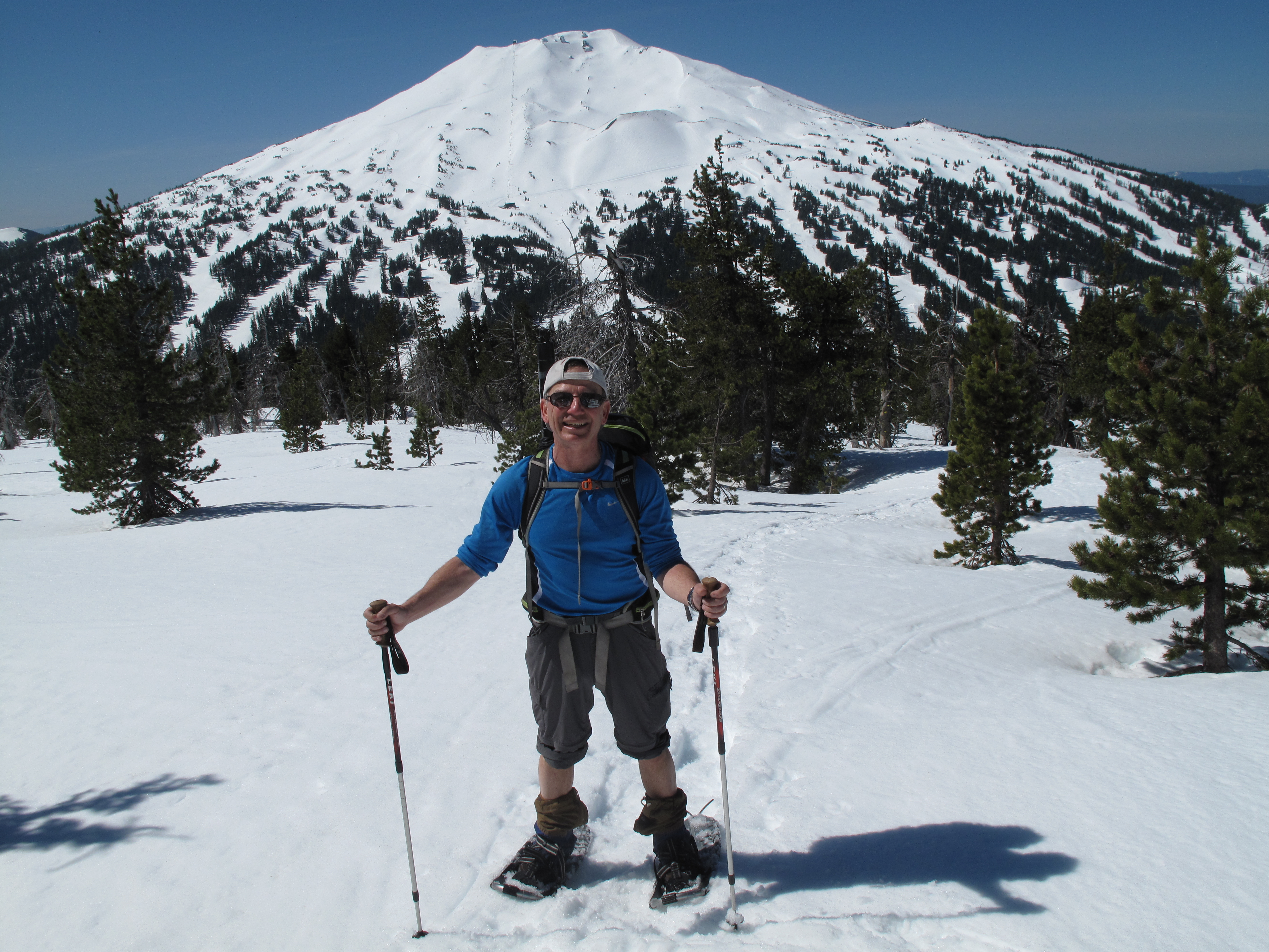
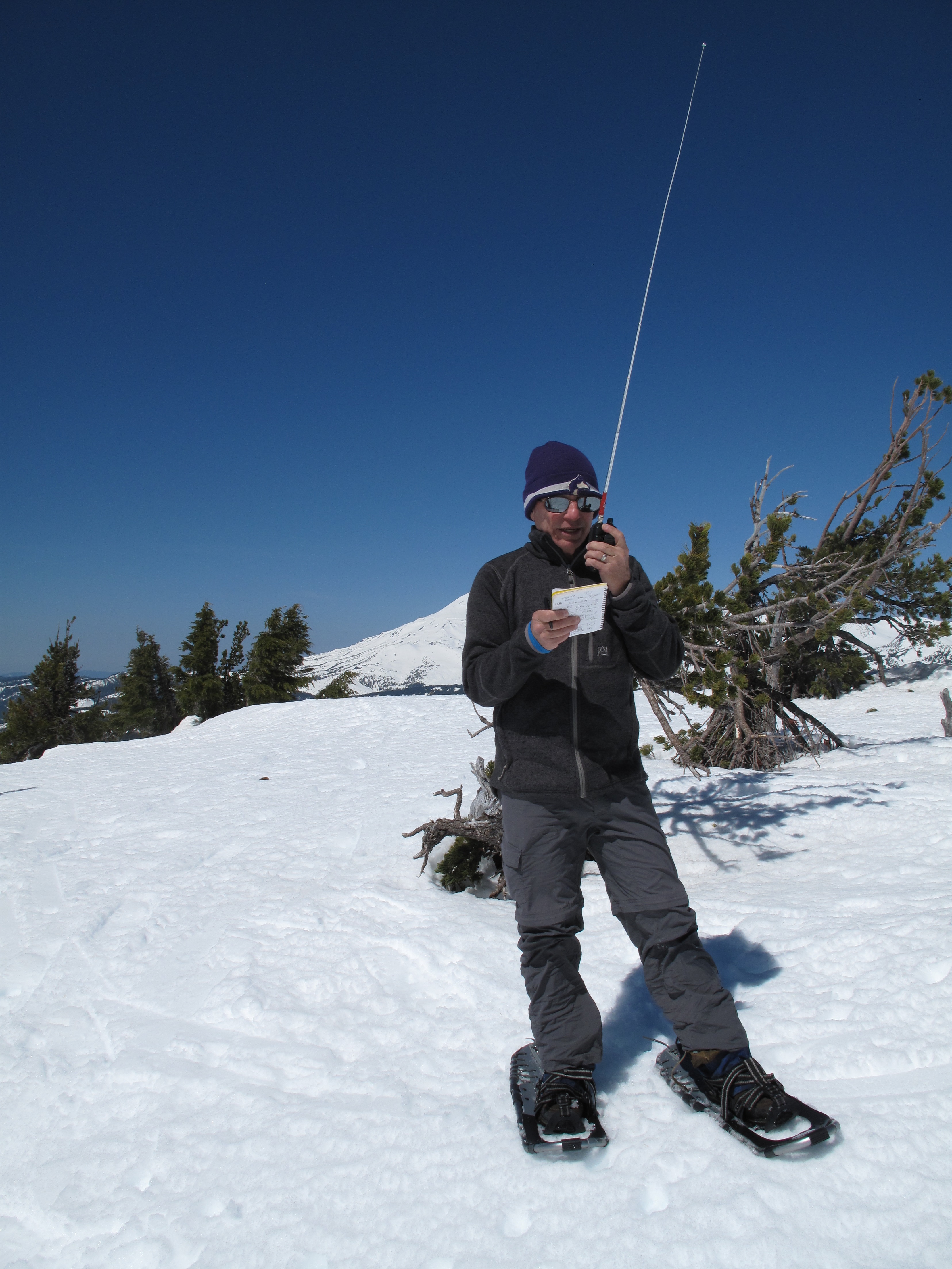
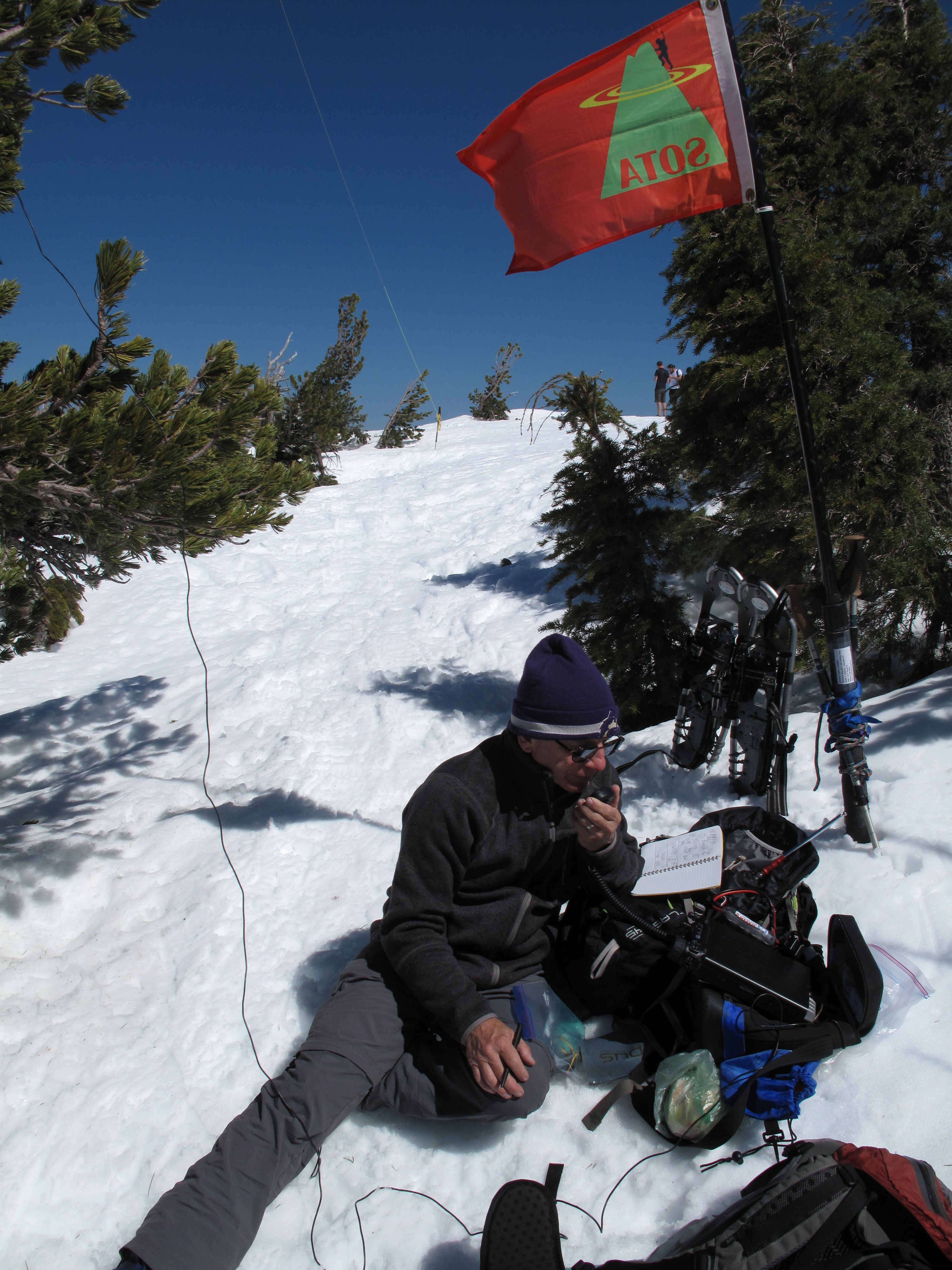
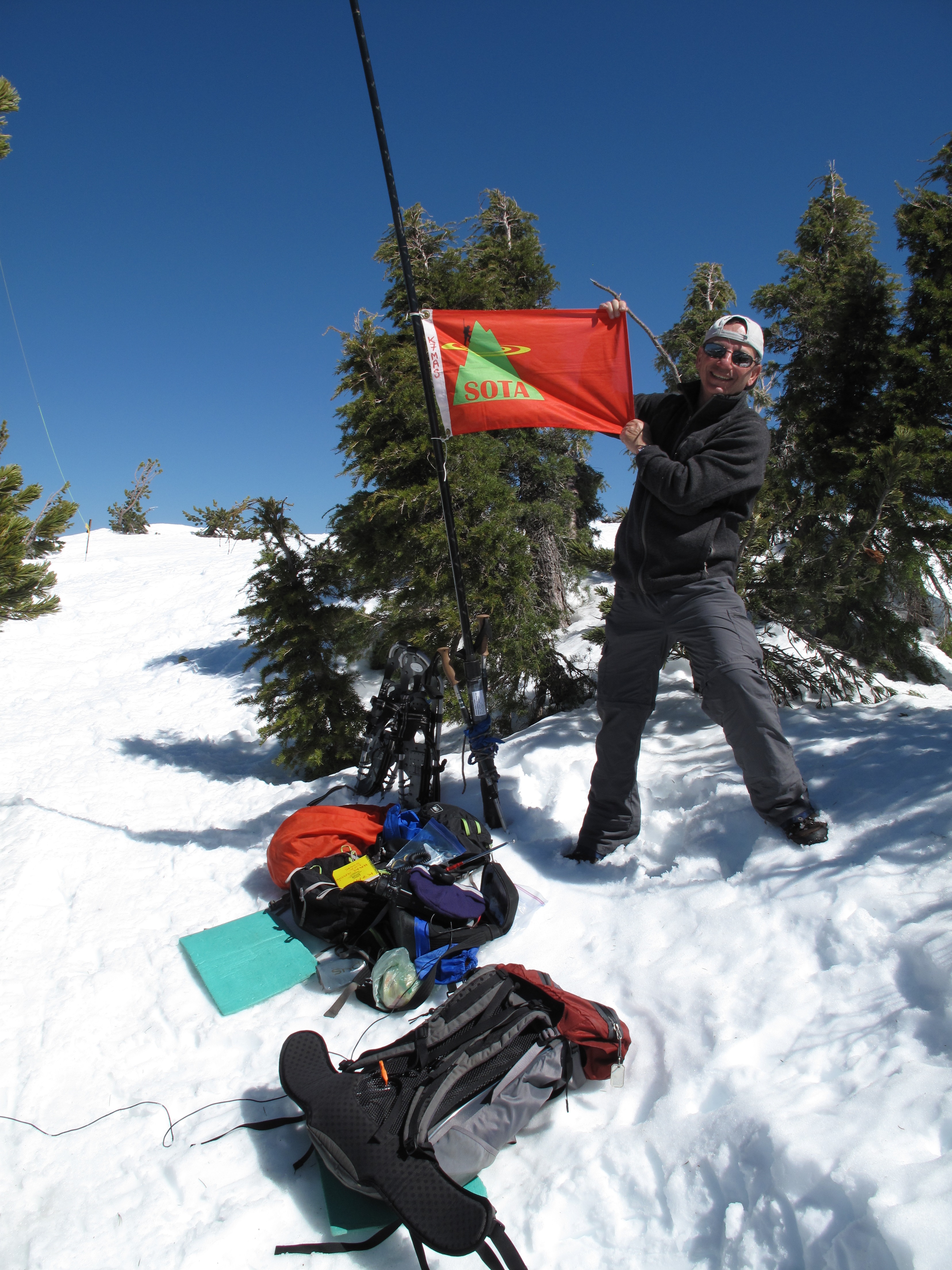
Despite the relatively mild 45 degrees F temperature at the TH at 10:30 AM, there was still 4 - 5 feet of snow on the route, and no sign of the summer trail…except the trail sign which was nearly still buried by snow. We donned our snowshoes and climbed more or less up the fall line going NNE towards the summit. We arrived at the summit at approximately 12:00 noon, having been slowed by the increasingly soft snow, and steep final rise to the summit plateau. On the summit, it was breezy, and a little cool as result. We took shelter behind some stunted evergreens on the lee side of the hill, facing west. From there we had stunning views of the Three Sisters, Broken Top, Mount Bachelor and 360 degrees around.
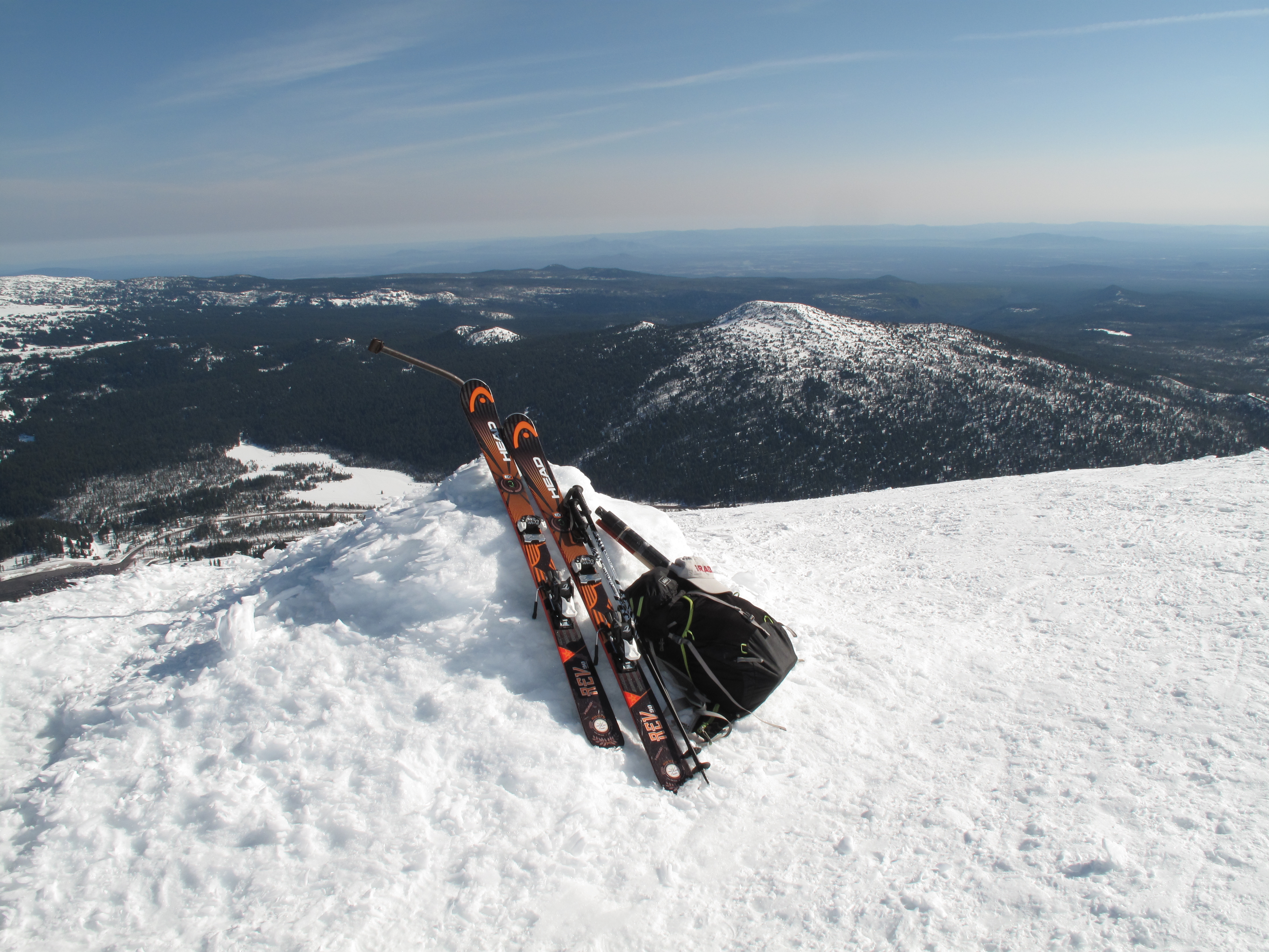
I quickly set up for both 2M FM using a hand held radio, and HF, using my Inverted V Dipole slung from a 25 foot carbon fiber fishing pole. In about 1½ hours of operating time, I made 9 contacts on 2M FM and 12 contacts on 40M SSB.
The Mount Bachelor Ski Resort web page has great resources such as maps, a direct NOAA weather link for the mountain itself, web cams and other useful information. These can also be used for Activation of Tumalo. See: http://www.mtbachelor.com/ . Other resources are at: http://www.summitpost.org/tumalo-mountain/150717 and at: http://www.peakbagger.com/peak.aspx?pid=28698
Thank you very much to all my contacts and the “Chasers”. In particular I’d like to single out many members of the High Desert Amateur Radio Group (HiDARG), who I worked on both 2M and 40M, and who followed me over the three days and three Activations I had in the area. Especially, I’d like to thank Max, KF7MAX, Secretary of the club, who sent out e-mail announcements and postings concerning my Activations. I worked: KF7MAX; KE7HKB; WA2KGB; KF7AWP; K7SQ; K7NHB; N0RYK; N7NPD; KE7DDE; W6FHZ; KV7L; W6IO; K6HPX; K7UT; WW7D; NS7P; KF7MAX (40M); WB7OXJ; KC7TR; W5WBT and KX6A.
End Report