Chelan Crest SOTA Outing July 23-25, 2016 – Part 2. See separate report on PNWSOTA website with background on outing and day 1 description. The total trip was approximately 25 miles RT, with approximately 7,000 feet elevation gain, including ups and downs in between the various peaks. This is report 2 of 4, Graham Mountain.
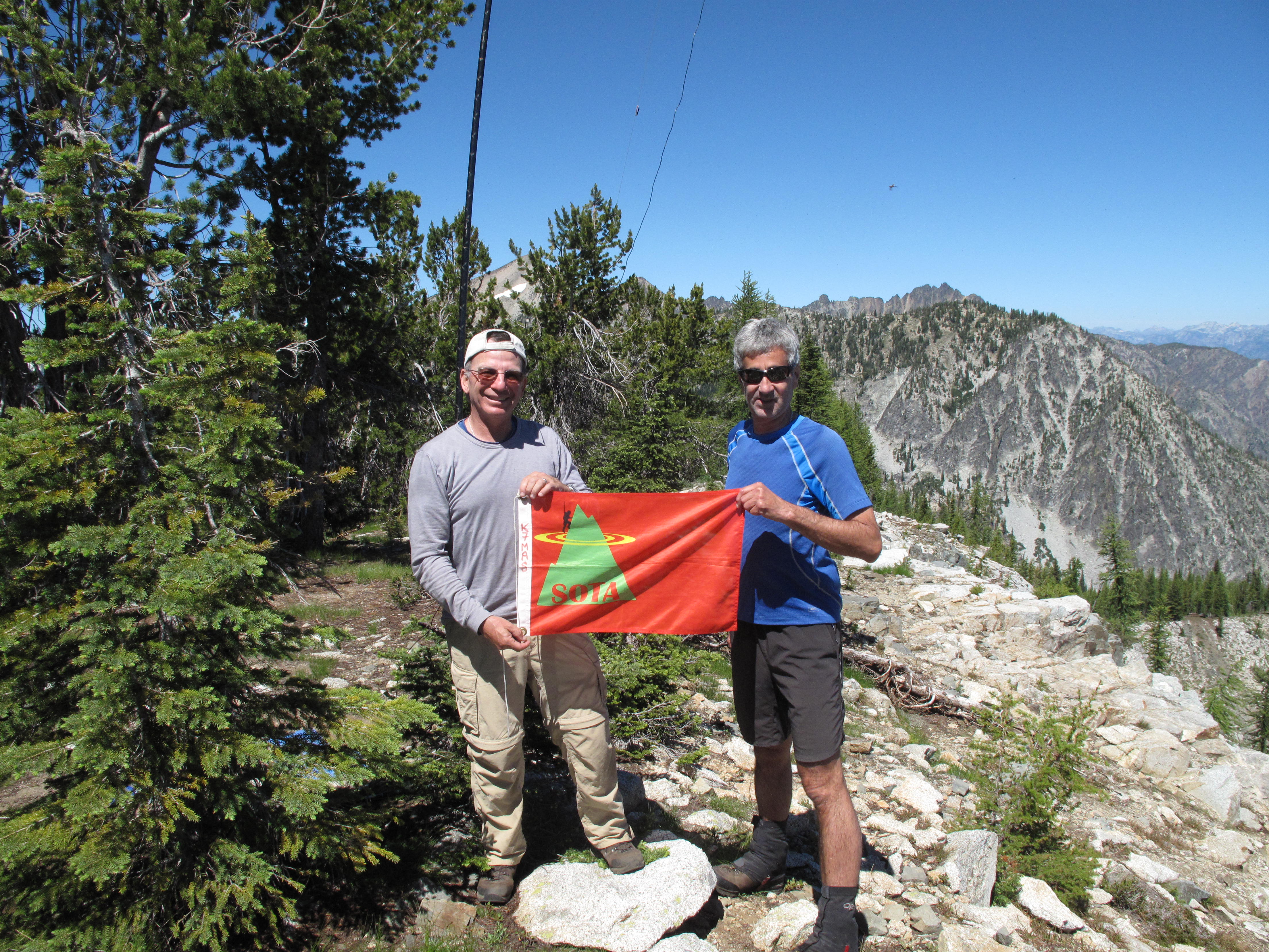
With the long hours of summer upon us, we had plenty of time in camp, at end of day 1, to plan our attack on Graham Mountain and Olivia Mountain the following day. Besides Tim, KG7EJT and I, K7MAS, we had a very competent group of 3 other Mountaineers that joined us for the adventure. Paul T. ("Nav", for his superb navigational skills), Michelle T. ("The YL", for her superb driving skills of bringing along a Honda sedan to the rough TH and providing a feminine perspective to the outing) and Doug D. ("The Quiet Giant" for his fortitude and support of our SOTA adventure).
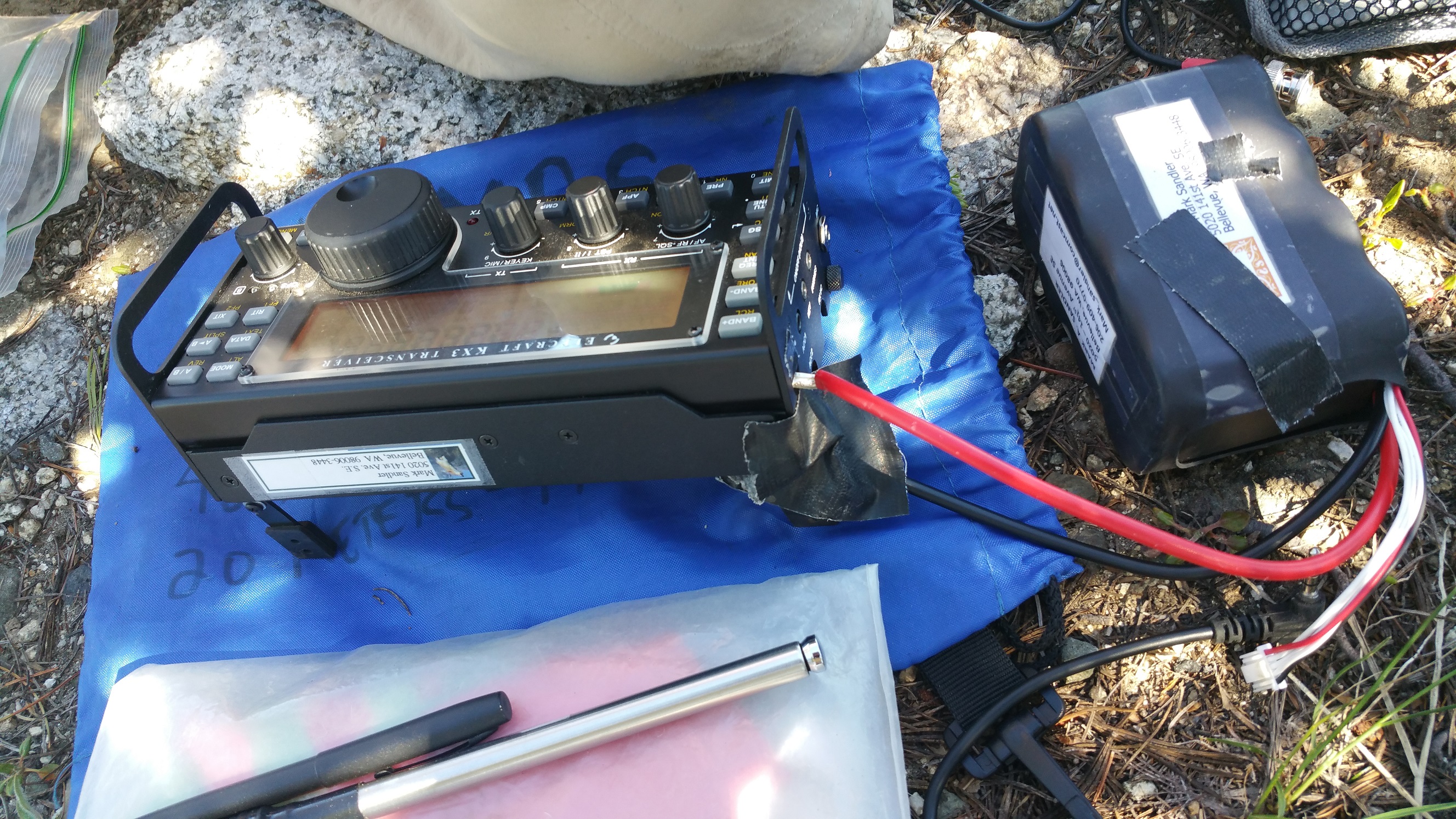
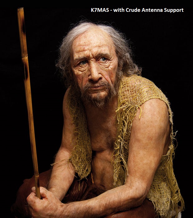
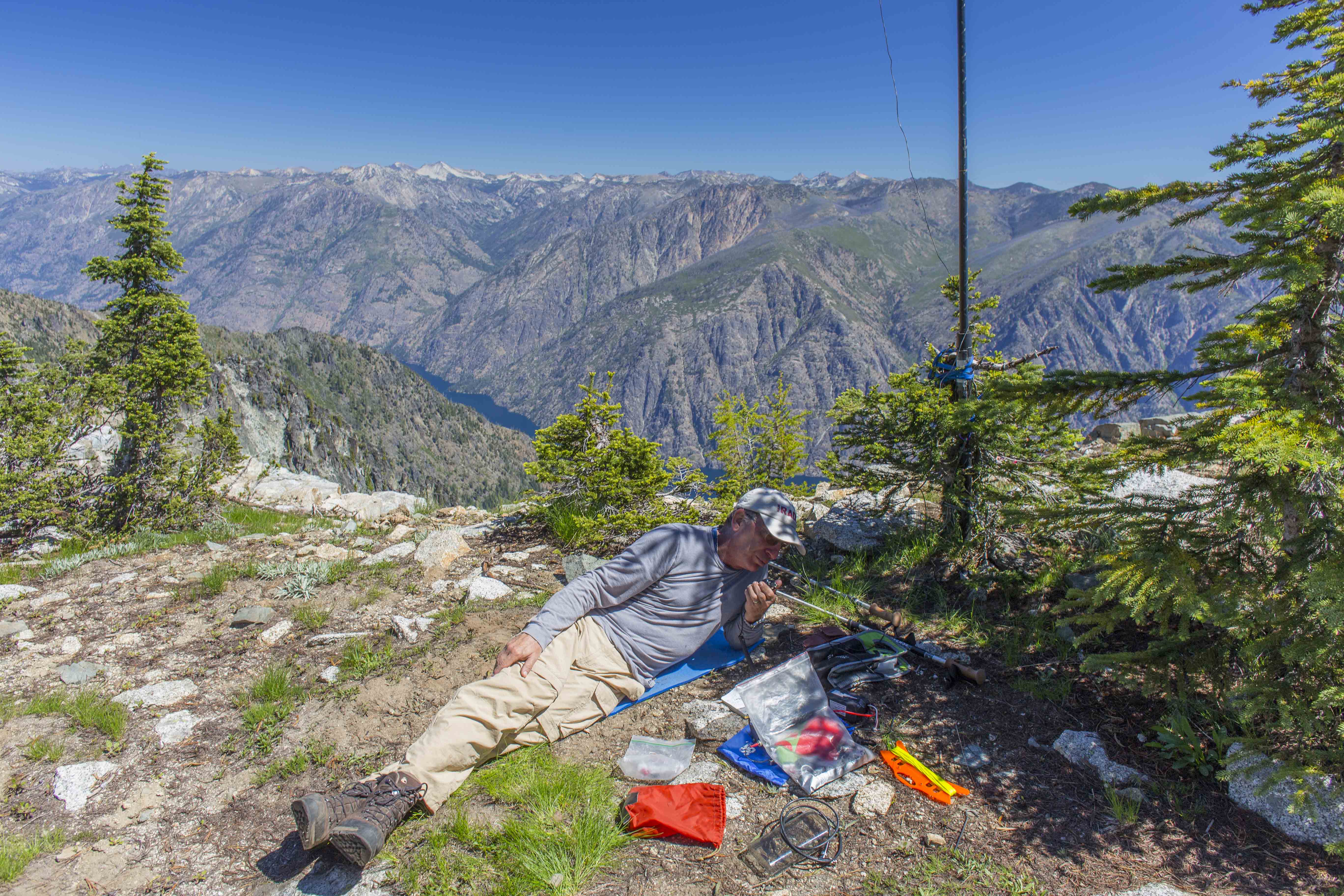
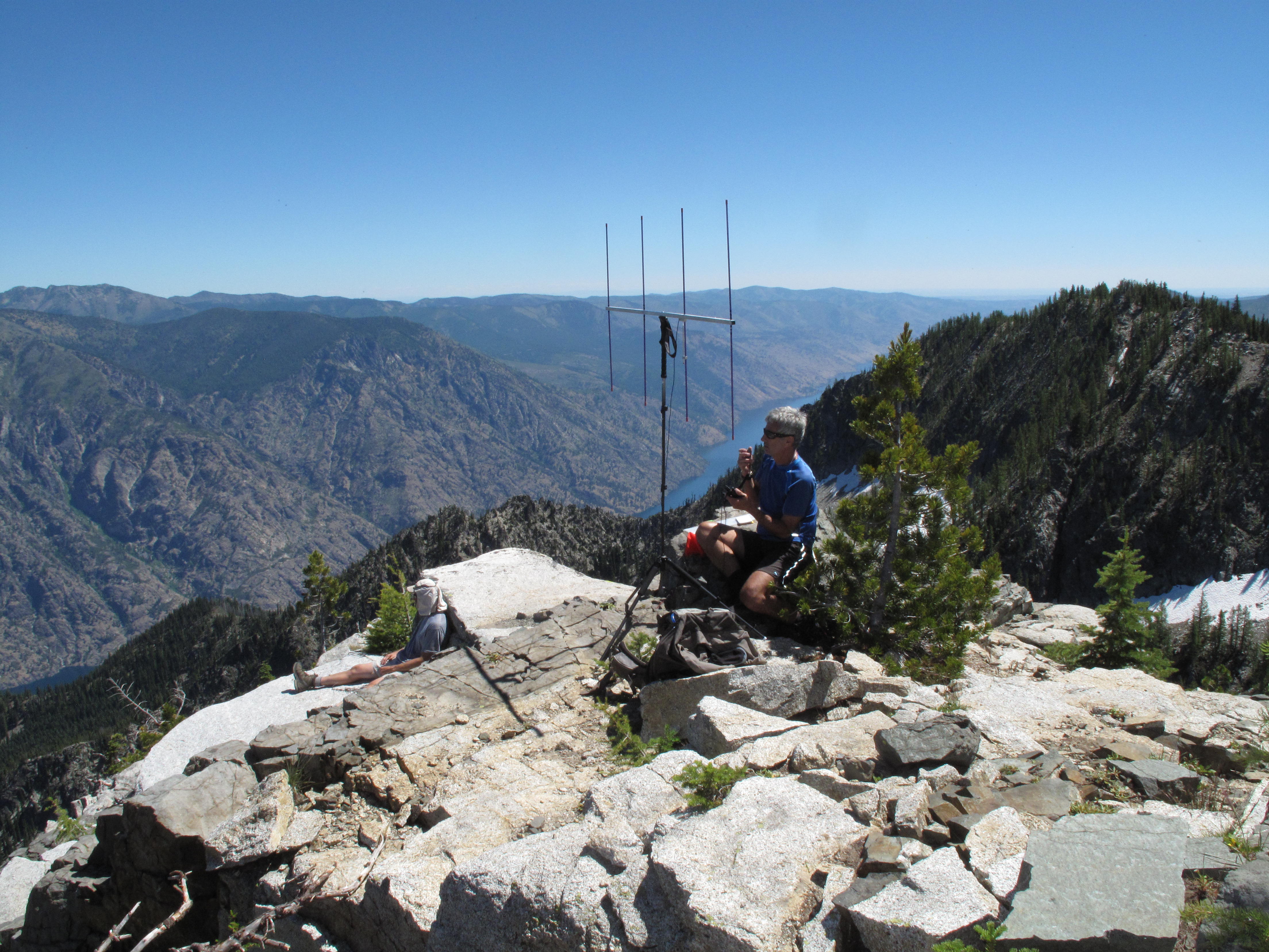
While fending off the swarms of mosquitos and biting flies, we decided on a plan: Activate Graham Mountain first, return to camp to load up on water, and head out for Olivia Mountain in the opposite direction. As was the case with Crow Hill the previous day, both of these mountains proved to be easily attained, again through moderately angled meadows, and flowers. Our main concerns, as far as SOTA was concerned, was the probability of being heard with 20M & 40M SSB at QRP powers + 2M FM, using a 4 element "Arrow Antenna". Our concerns were overcome with patience, work and some cooperative efforts between KG7EJT and me. As may happen from time to time, Mr. Murphy, of Murphy's Law, reared his ugly head. At the last minute I had switched backpacks in order to accommodate my alarmingly heavy load. In the process, I left behind my Anderson connector from LiPo battery to my KX3. In typical Cro-Magnon fashion (photos), I bashed the Anderson connectors on my LiPo battery power leads to a pulp with a rock, and managed to carefully connect the battery, without shorting it, to the radio. Disaster averted!
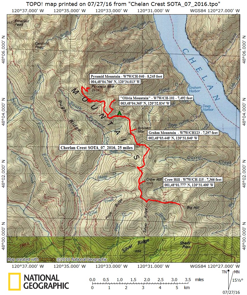
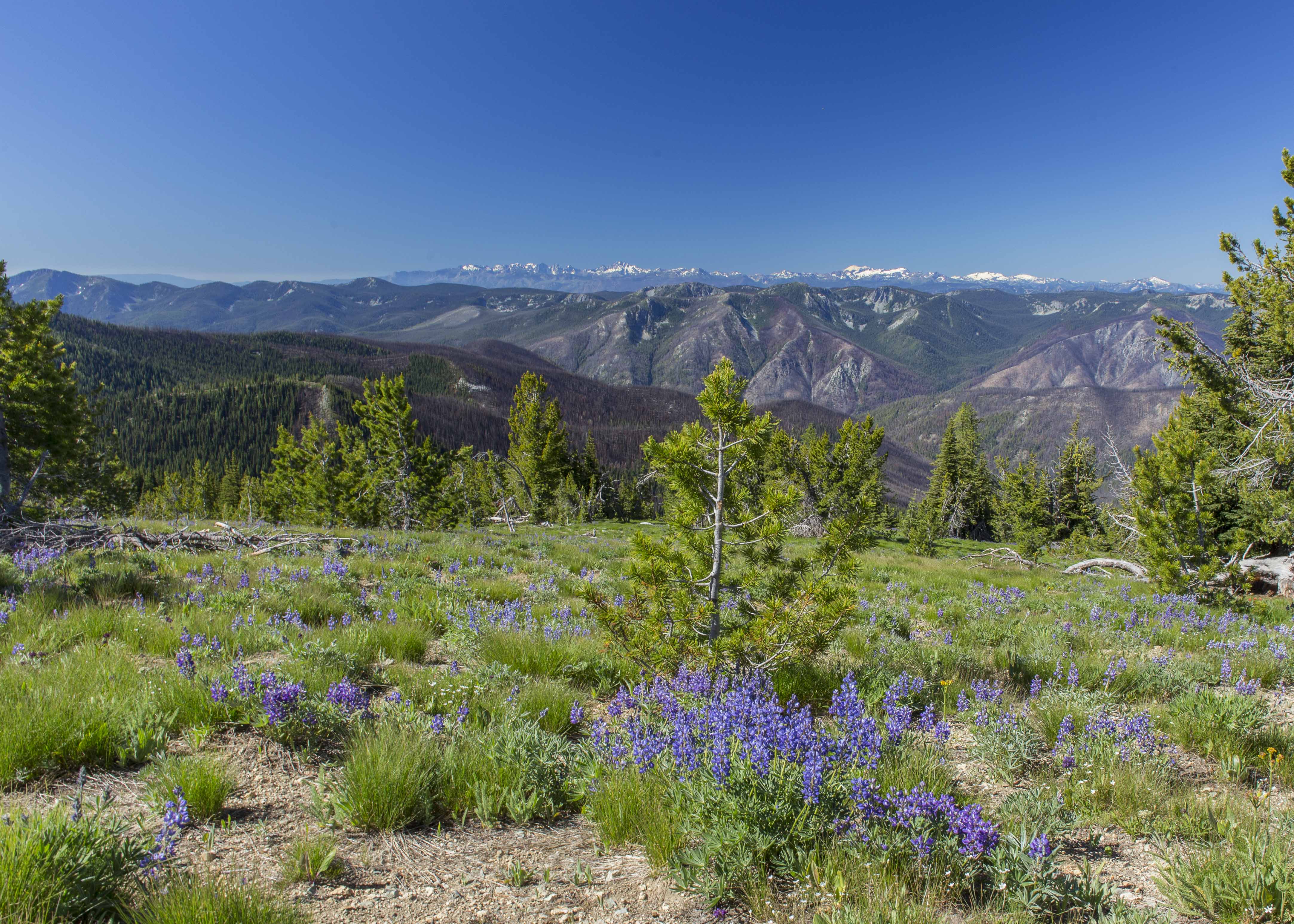
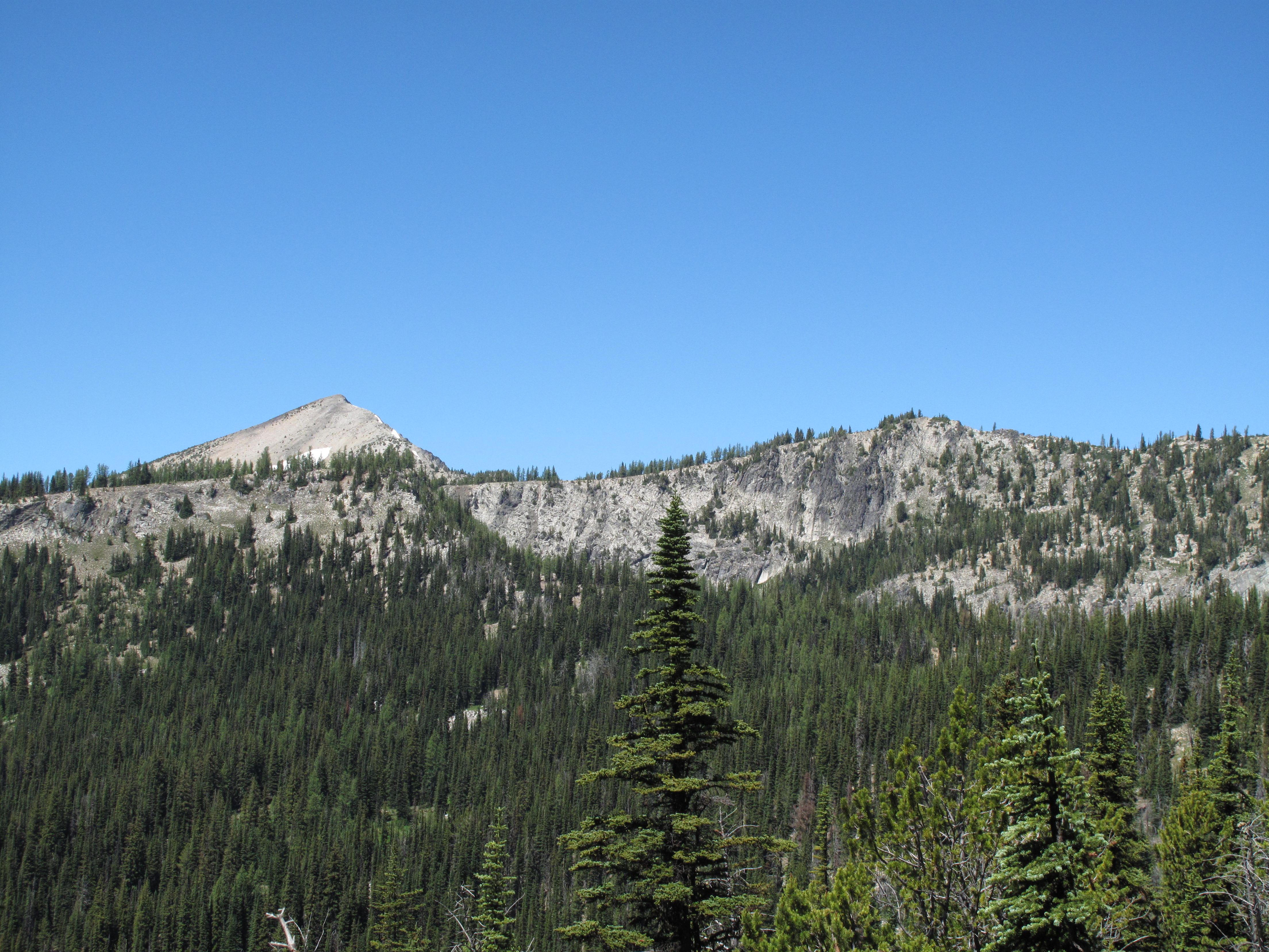
The route from Camp to Graham Mountain, back to camp and up and down Olivia Mountain involved approximately 5 miles RT, with 1,700 feet elevation gain. Again, the open slopes were festooned with assorted wildflowers in full bloom. We saw acres of Lupine, Indian Paintbrush, Daisies, Alpine Collomia and many others that I could not identify. The area also had a large concentration of Larch trees, which we speculated would be magnificent in the fall, when they turn golden in color. The views from Graham Mountain, and especially Olivia Mountain were increasingly impressive. As we penetrated the Chelan Mountains northward, Glacier Peak, the high mountains ringing Entiat River and hundreds of mountains in all directions tested our aggregate experience and recognition. In the far north stood Mount Baker, and in the distant south, we saw mighty Mount Rainier. From the summits, Lake Chelan always glistened below us, 6,000 feet and more. Often airplanes serving the route from Chelan to Stehekan flew a few hundred feet above lake Chelan...and yet 5,000 to 6,000 feet below us. The planes and boats plying the Lake Chelan corridor, looked like children's toys from our high vantage points.
All contacts were a mix of 2M FM, 20M SSB and 40M SSB. On Graham Mountain, I worked: W7ARR; WA5POK; K7FJU; K2HZO; W7ISG; K7CAR; KC7YCX and KD7QPW. Thabnk you very much to each and every contact, and my loyal Chasers!