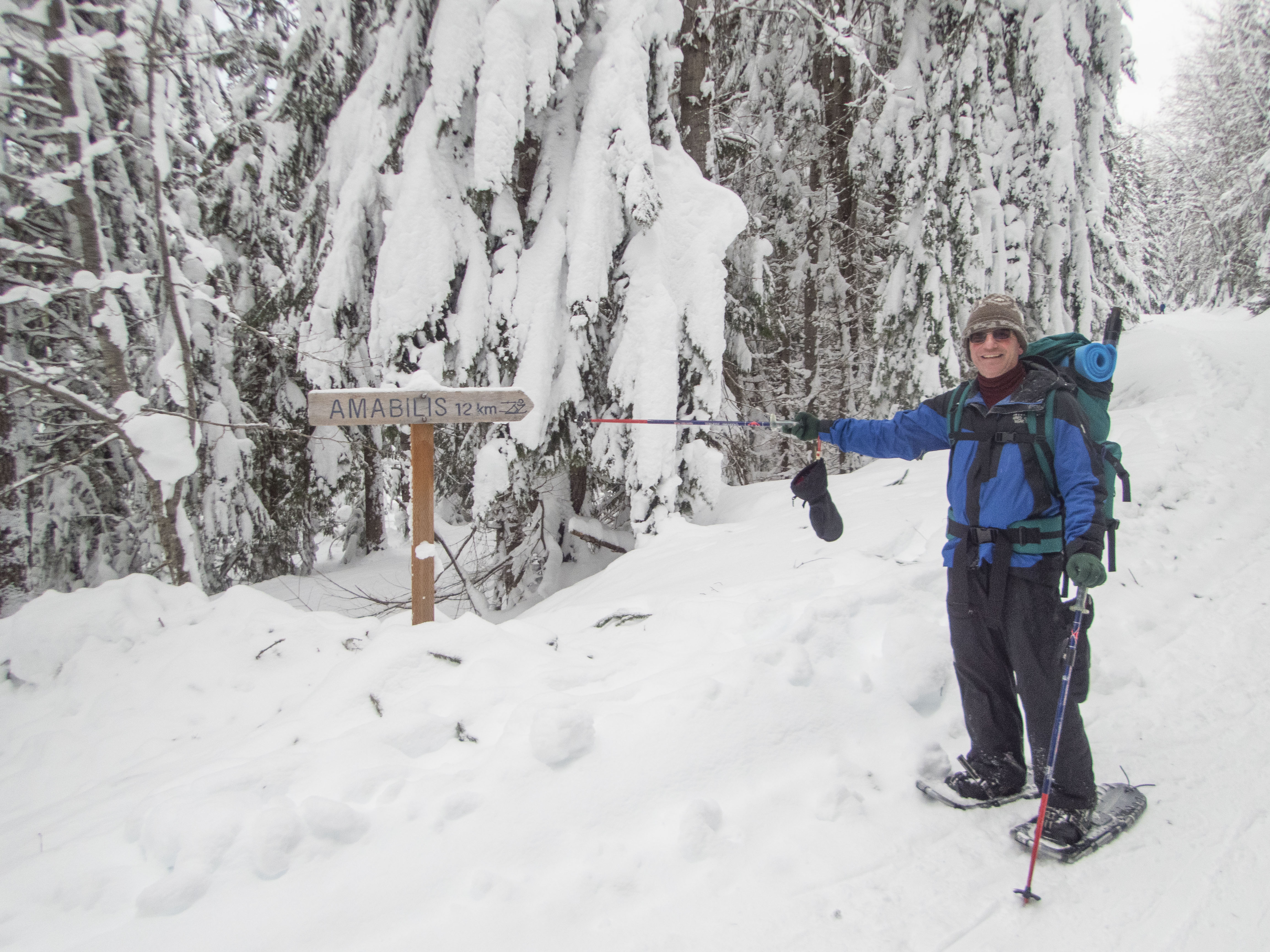
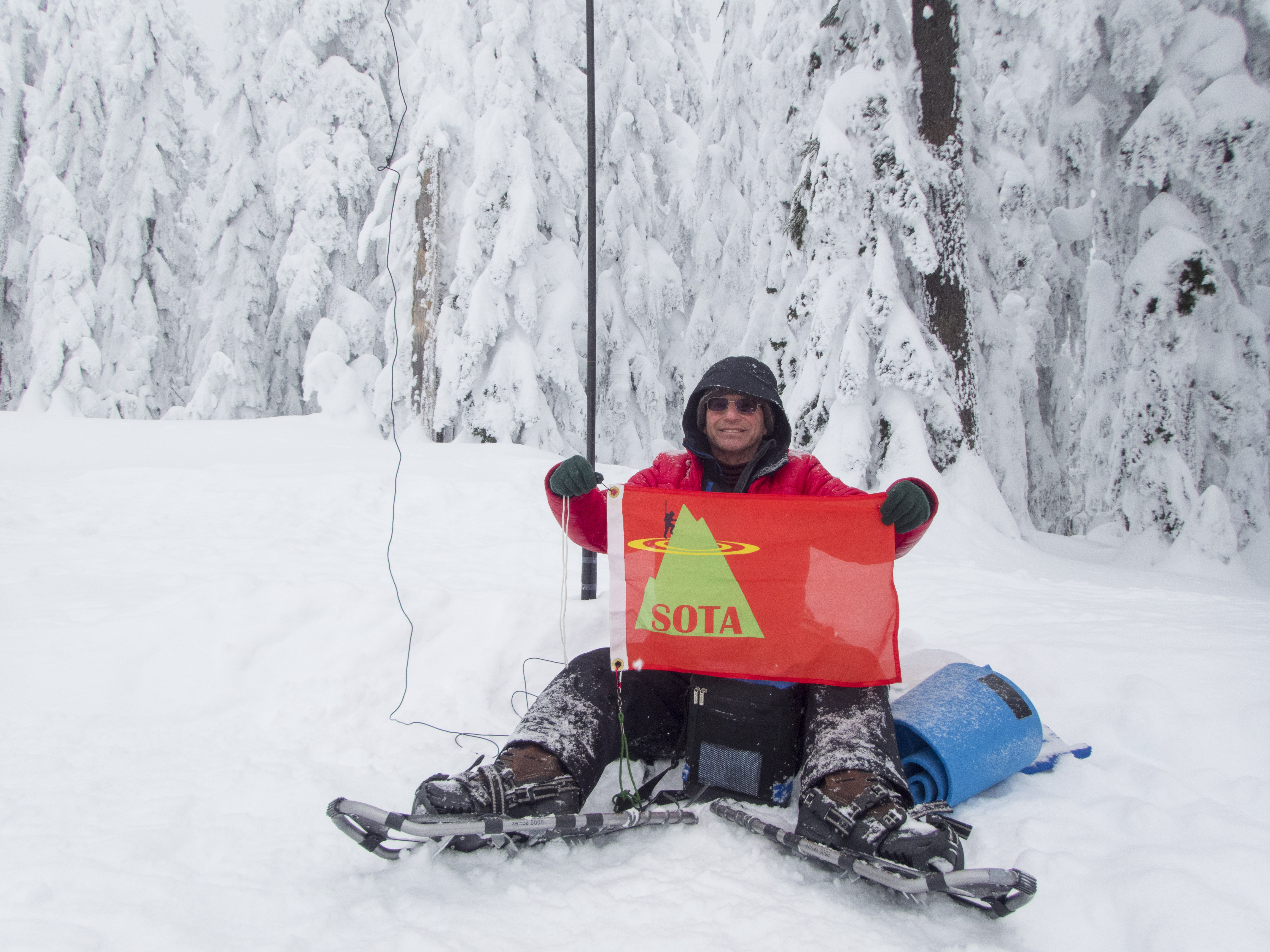
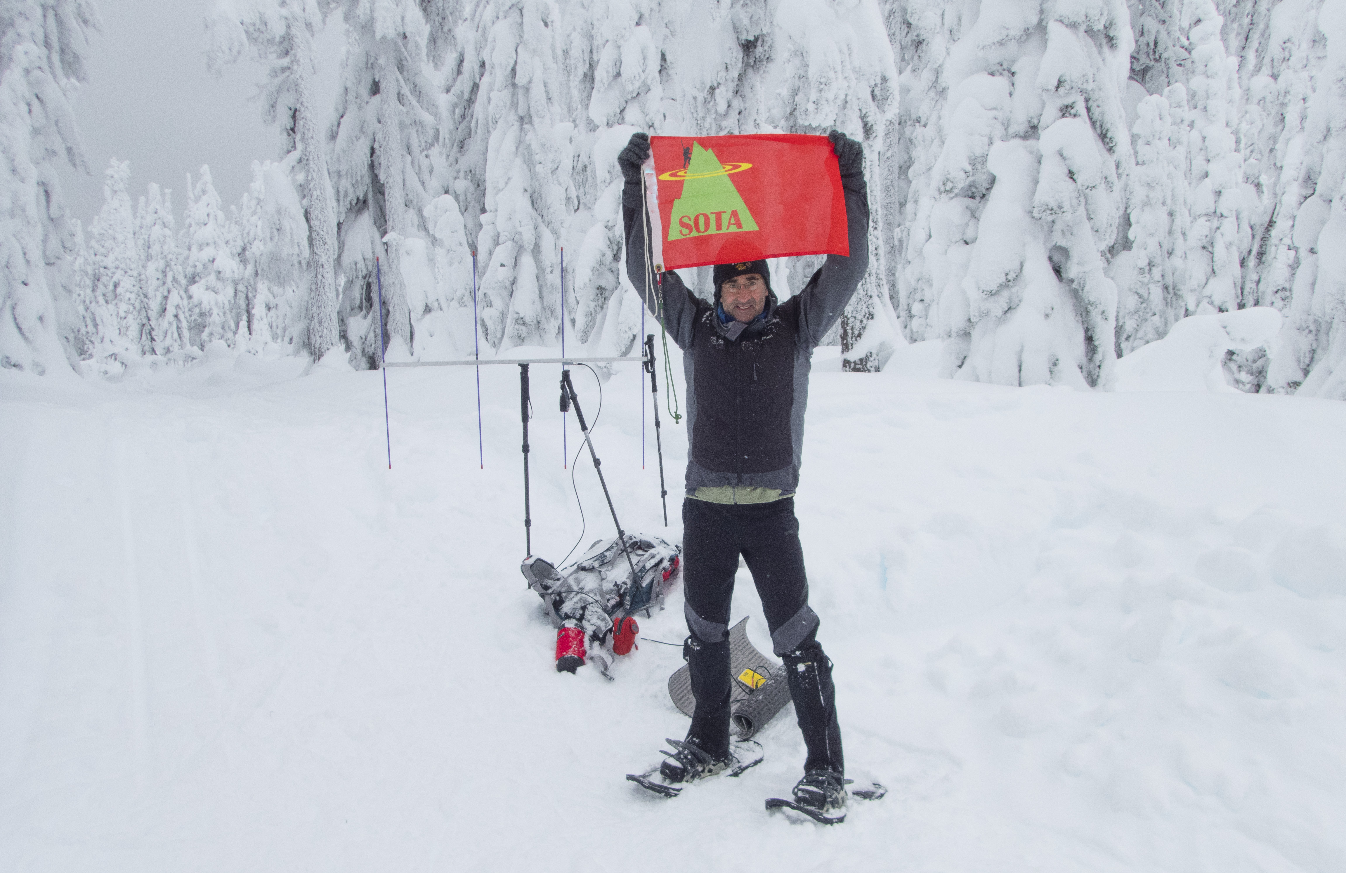
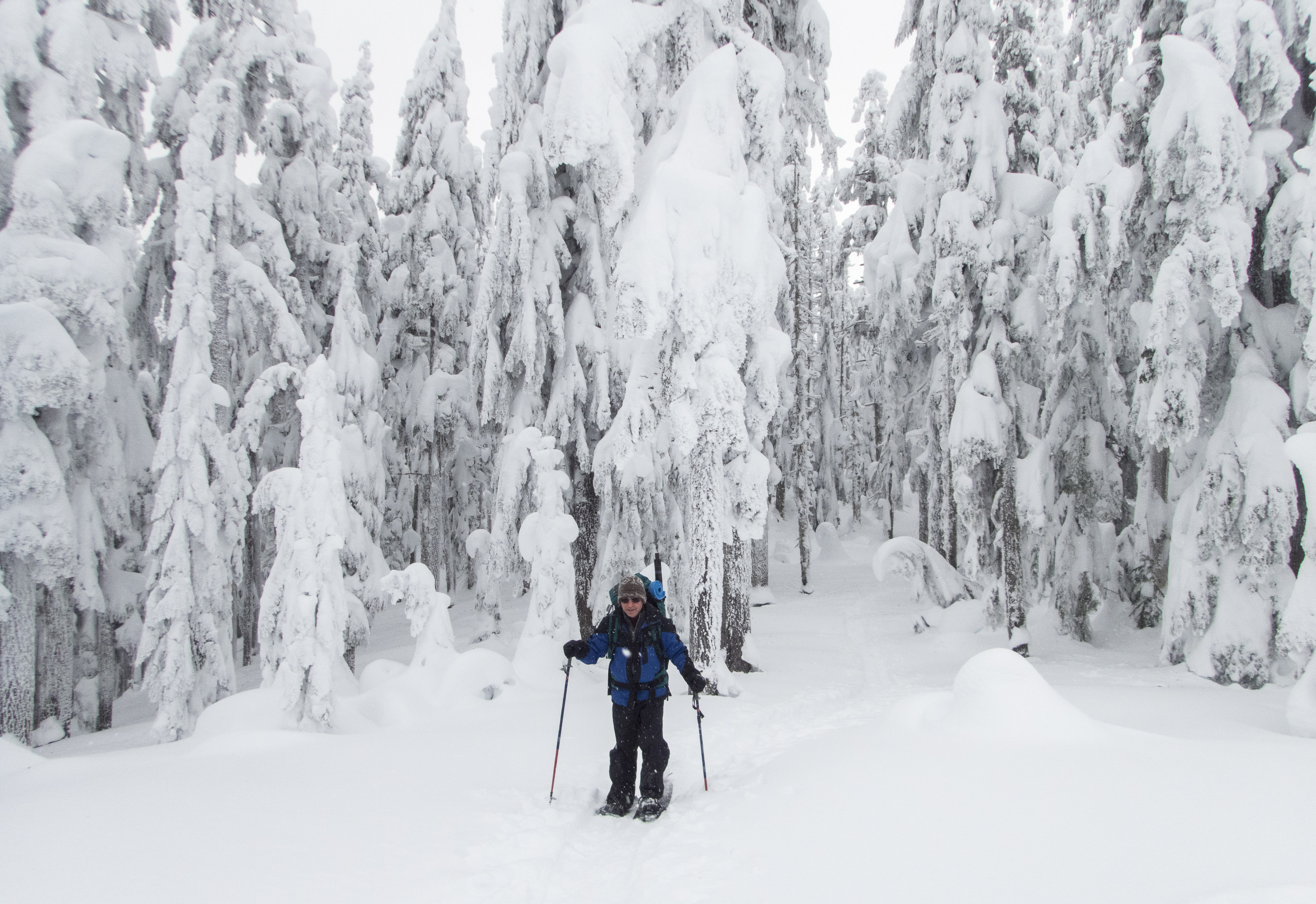
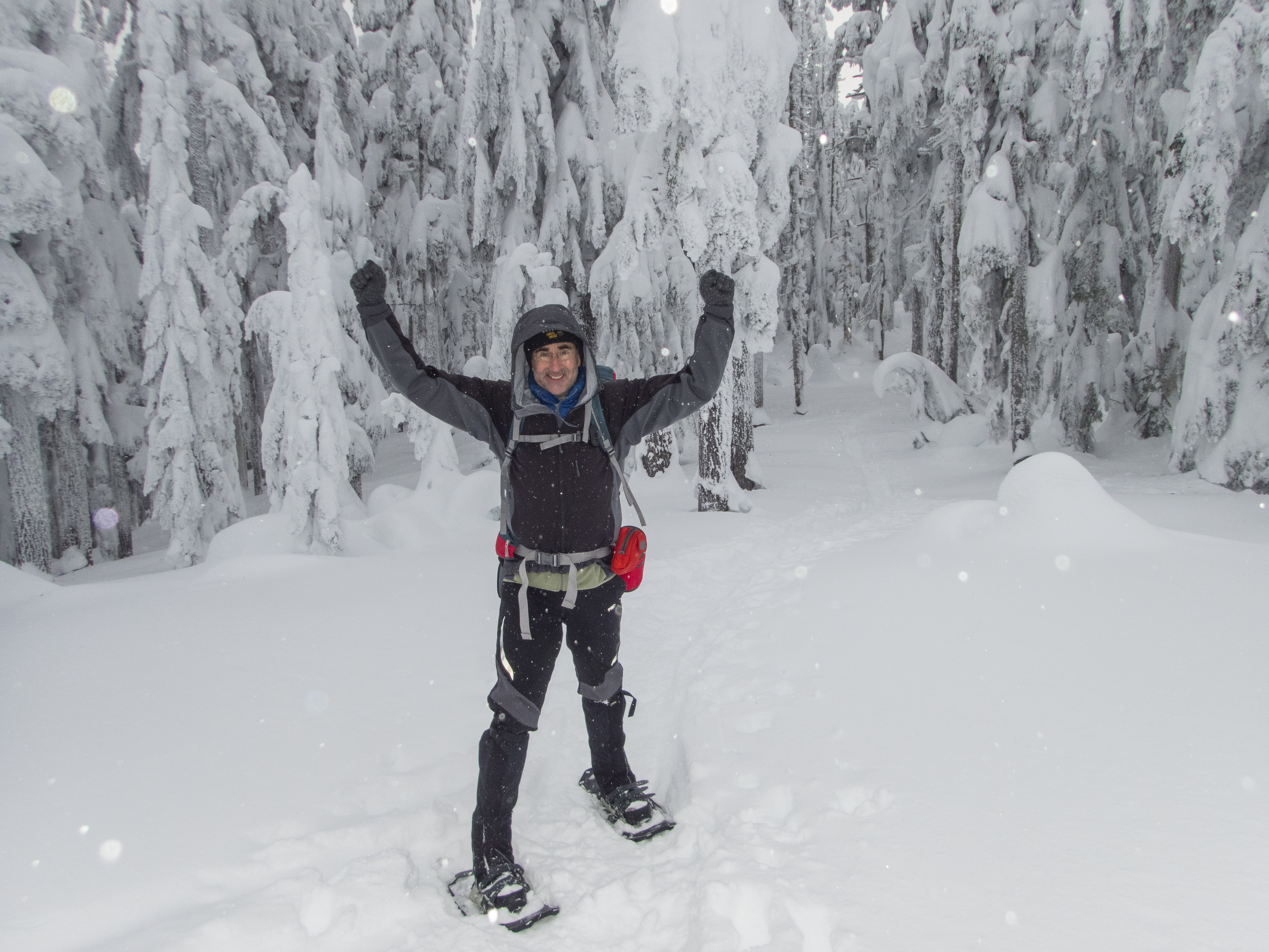
A cold, windy & snowy winter activation of Amabilis Mountain, 4,580 feet, located east of Snoqualmie Pass, Washington, was undertaken by me and my SOTA Buddy - Tim, KG7EJT. The forecast was for a substantial change from the sunny but cold weather this area had been enjoying the previous week. The TH is easy to reach, most of the time, being right at Exit 63, Highway I-90. The route we took followed the XC Ski groomed logging road leading from the Lodge Creek / Swamp Creek Basin to the summit area of Amabilis. The route was 11.18 miles RT, gaining approximately 2,050 feet elevation.
These were the recent headlines that preceded us and that we anticipated on January 3, 2016:
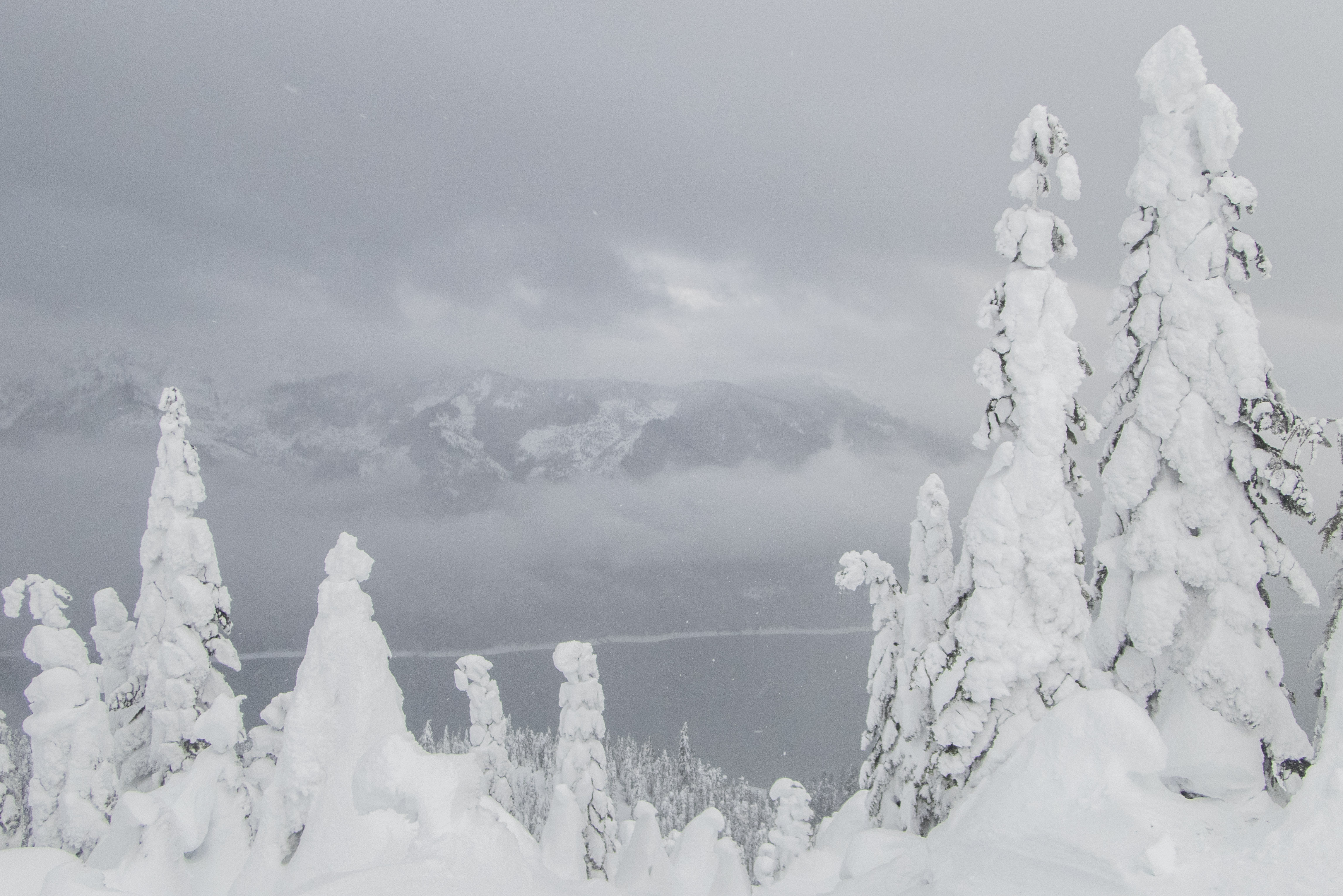
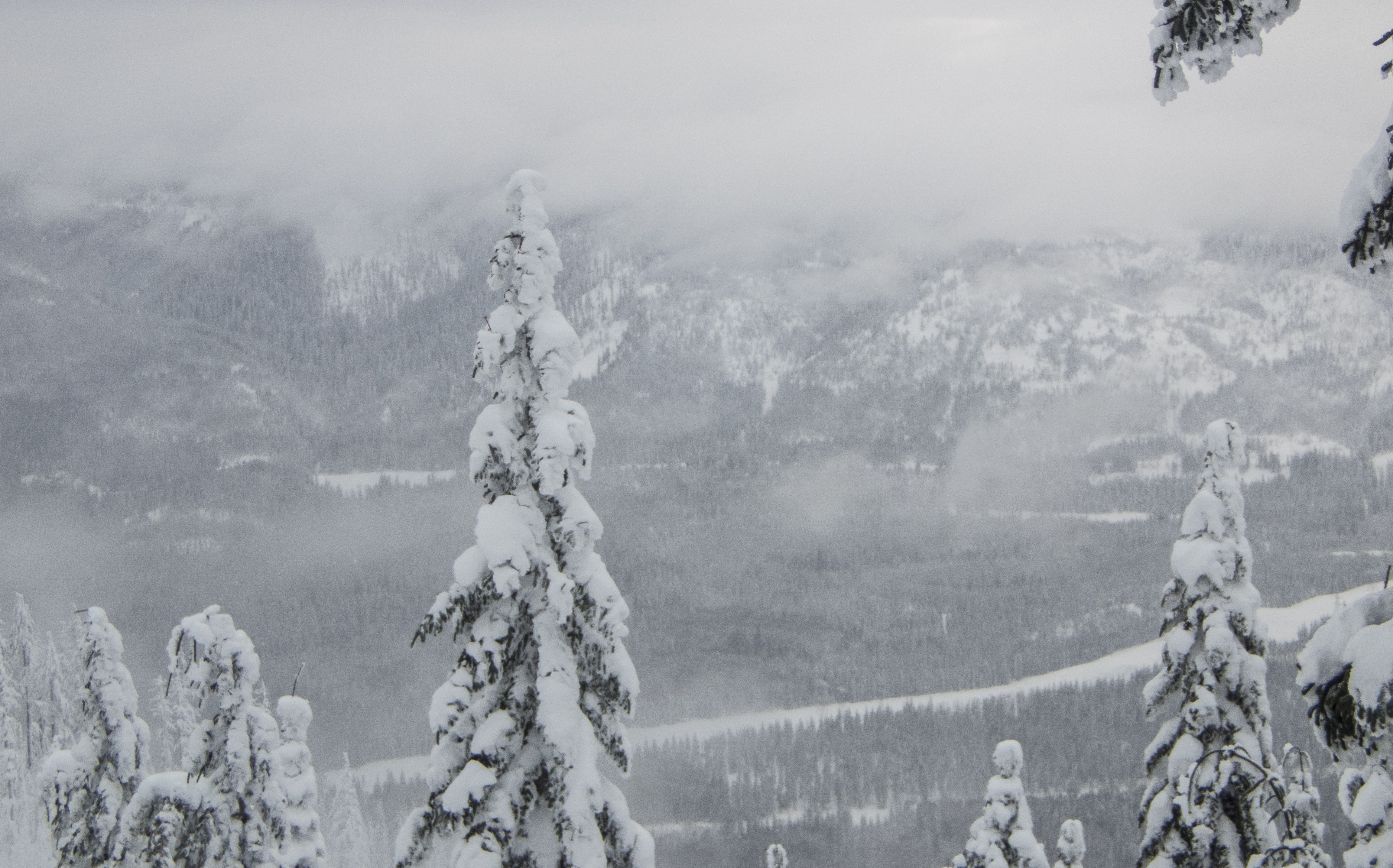
"Amidst the barrage of snowstorms, the pass also set its record for heaviest 7 day snowfall total, reaching 112 inches (just over 9 feet!) between Dec. 18-24. Previous record for week-long snow dump was 102 inches set between Jan. 27 and Feb. 2 in 1990. And yes, that means Snoqualmie Pass got more snow in a week this year than they did all of last year." KOMO NEWS, Seattle. However both Tim and I had been out for several snowshoe hikes following the deluge, and so were ready.
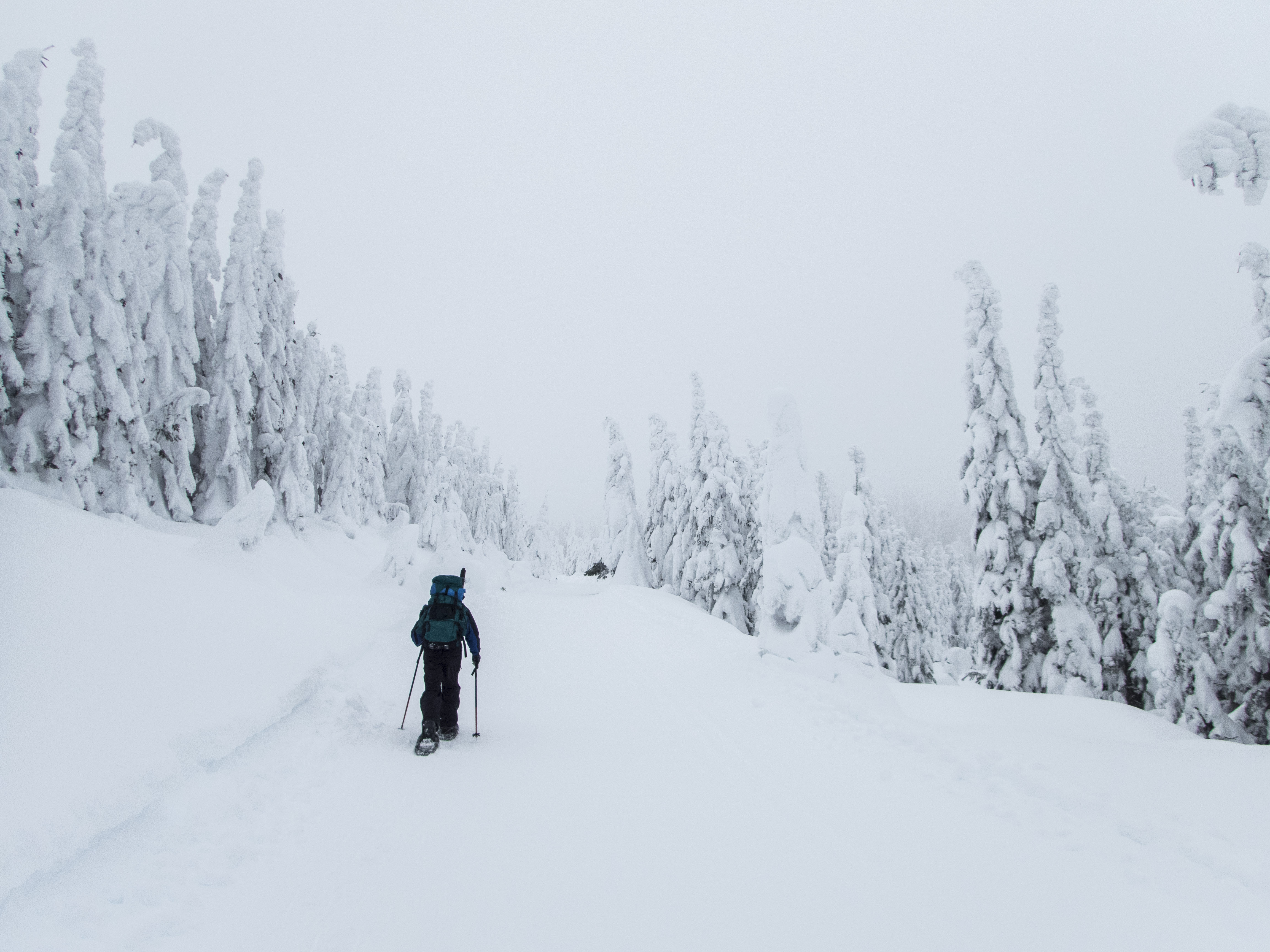
Leaving the TH at 9:00 AM, the temperature was 18 degrees F. It would never rise above that point, and probably was lower at the summit. We also had to contend with 15 - 20 MPH winds. Arriving at the Activation Point we chose, the wind and snow showers picked up, and we were struggling to get our gear out and positioned. After thrashing for 45 to 60 minutes, we both managed our contacts, despite the wind & bitter cold. We chose an Activation Point within the AZ for Amabilis Mountain. We chose a point between the actual summit at 4,580 and the Amabilis Mountain “Beacon” site shown on the USGS maps, at 4,554. Looking towards the actual summit, when we could see it between the white-out spells, we could see the actual summit was a small, windswept area, with a substantial snow cornice overhanging the east face of Amabilis Mountain. Being cognizant of several fatalities in the vicinity during the recent massive snow storms, we decided our AZ location was prudent.
Tim set up and worked 2M FM, using his trusty Arrow 4 Element Yagi. I set up for 40M SSB, using my Inverted V dipole, strung from my 25 foot carbon fiber fishing pole. Even the weather-proof paper I was using for my logging became deficient by the end of the Activation. My pens kept freezing, making logging a challenge.
Thank you so much for my contacts and chasers! I certainly learned a few tricks for future cold weather SOTA Activations. I worked: W6IO; KV7L; W6FHZ; KF7WMM; VE7IS; N7GSU; KD7WIA; W7PBM; N7FAA; KG7ALM; N7DSU; W7NVR.
All action photos courtesy of Tim Nair, KG7EJT