First SOTA Activation of Lookout Mountain, a smallish, somewhat obscure SOTA peak, above the town of Cle Elum. Lookout Mountain is 3,465 Feet in elevation (1,056 Meters), which makes it feasible even in winter, when the high country is still buried in snow. This Lookout Mountain is NOT to be confused with Lookout Mountain (W7W/CW-037). This joint Activation, together with my SOTA Buddy, Tim, KG7EJT, took quite a bit of reserach and planning to achieve. The easy / old way to reach the summit was from the South. However, over the last decade or so, the entire southern exposure of Lookout Mountain has changed hands in ownership, and is now a "gated" community of large land parcels & homes. This necessitated a cross country brush beat to summit from the North.
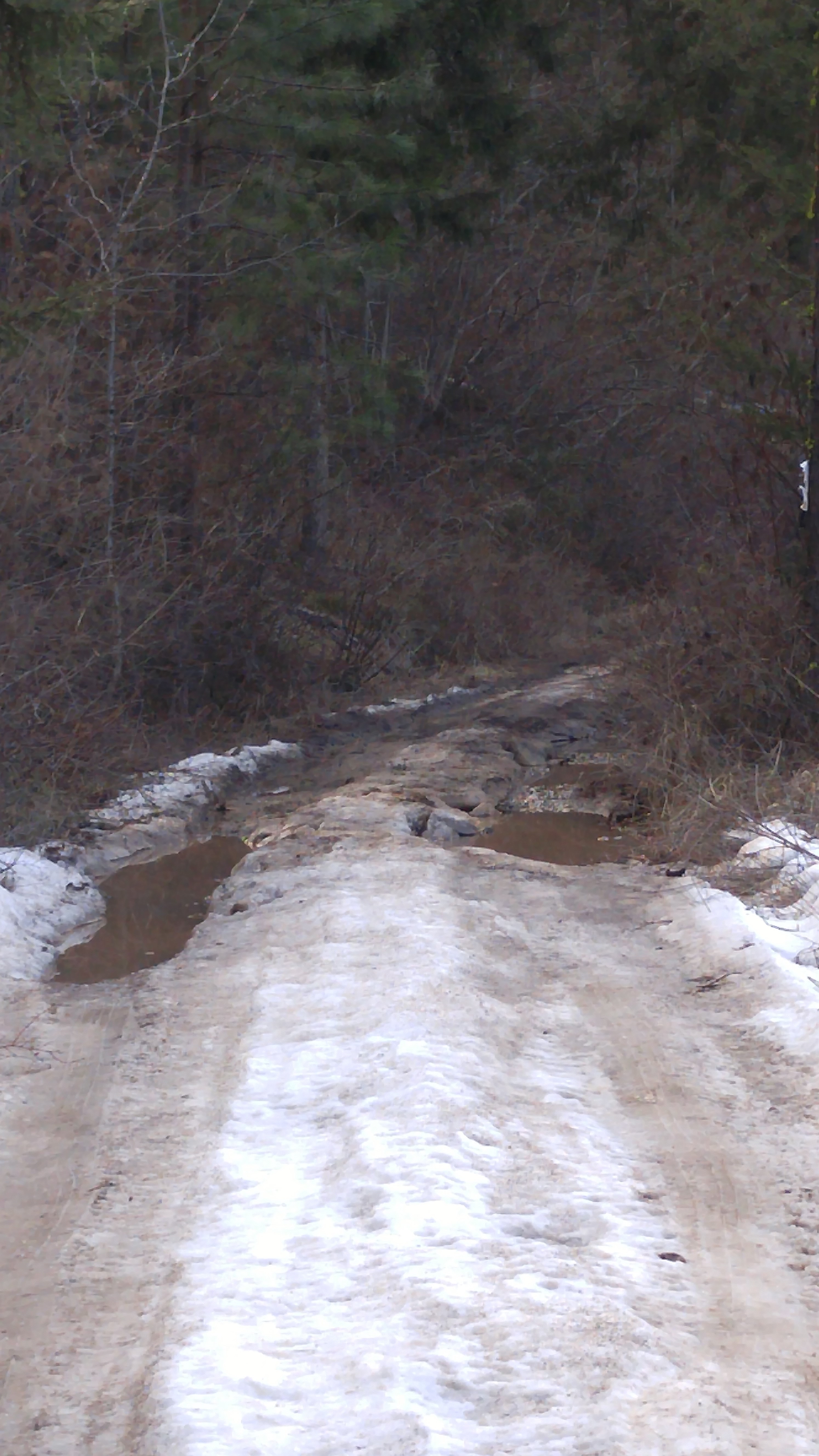
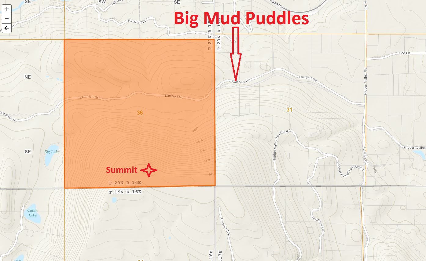
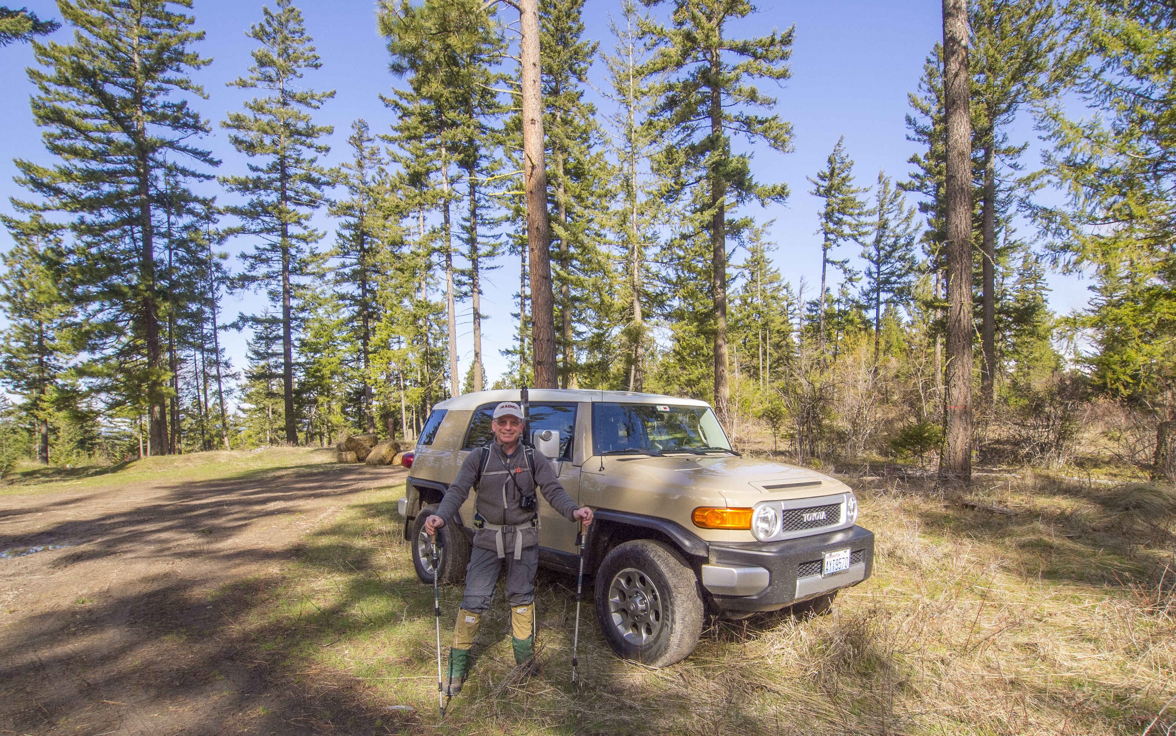
Access To TH: See attached map. Access is via the North. Arrive at the town of Cle Elum via I-90 from either West or East. Take the SR-970 exit from I-90, exit 85. Continue approximately 8 miles East on SR-970 to Hidden Valley Road, and turn right (South). Drive approximately 1 mile on the gravel road to Lambert Road. Turn right (West) onto Lambert Road, a secondary gravel then dirt road. Drive approximately 1.7 miles on Lambert Road, which at this time of year becomes increasingly rutted, wet, full of deep mud holes and some snow cover. Tim's Toyota FJ Cruiser did indeed cruise right over each and every obstacle. Park off Lambert Road. Thank you to KG7EJT for two (2) prior scouting trips for approach. One from the South and one from the North.
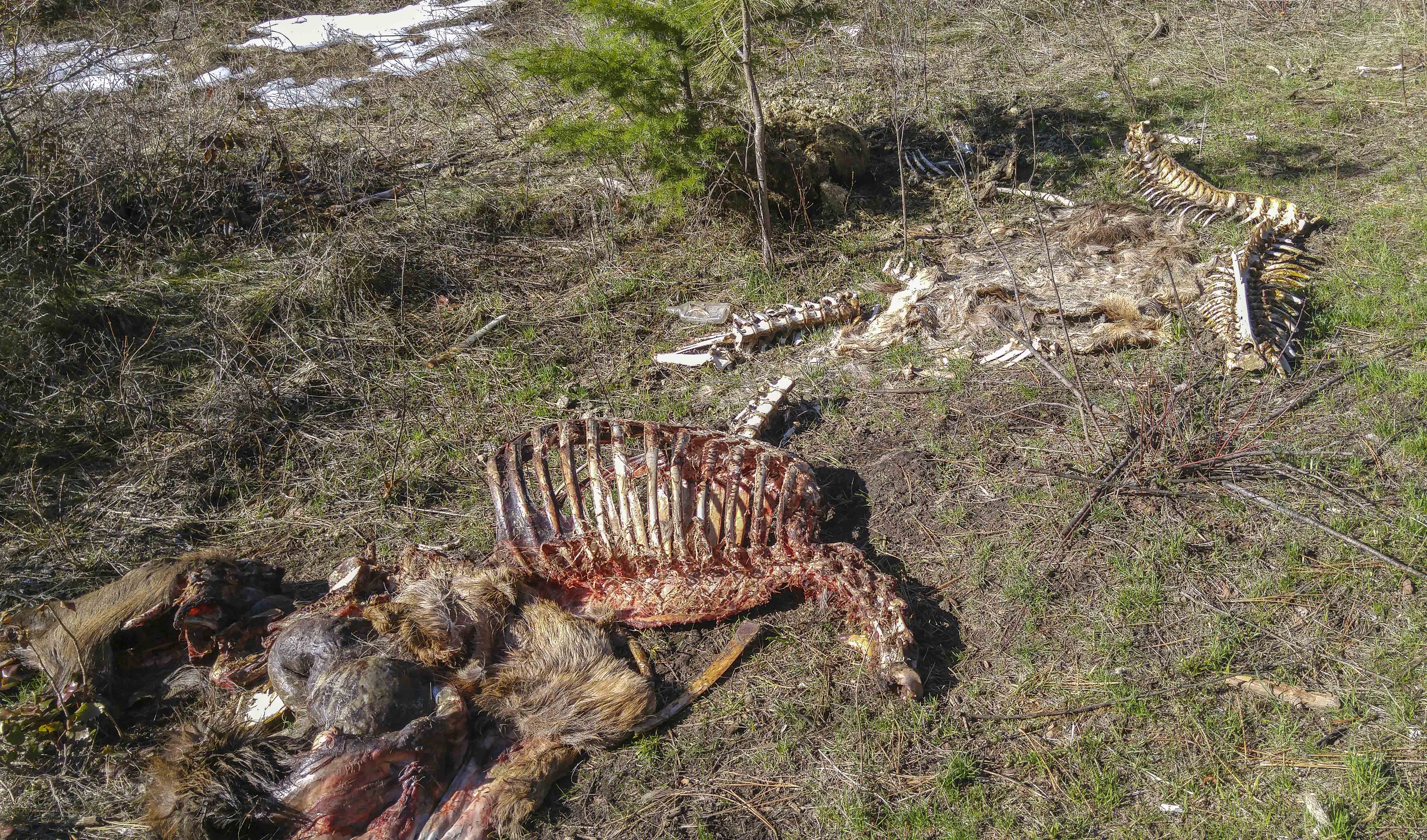
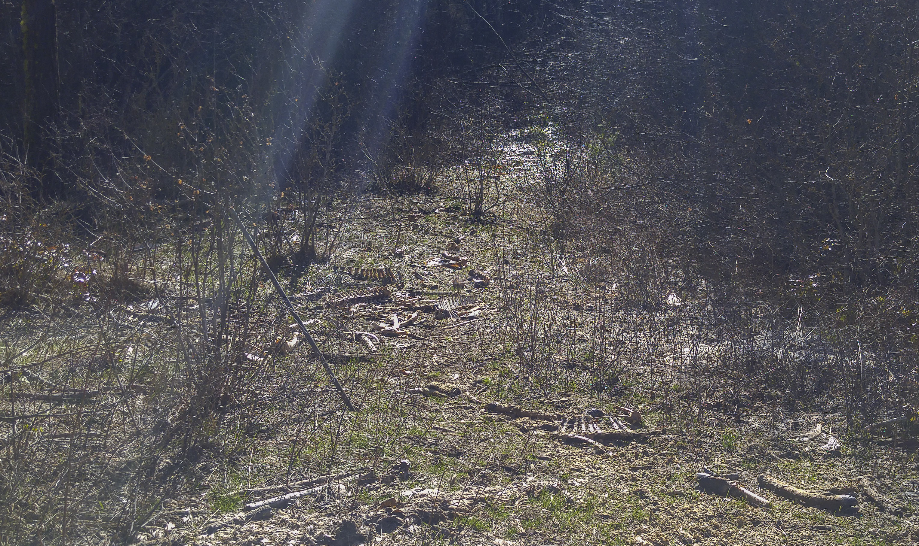
The "Bone Yard": At the TH we came upon a disturbing sight! Across the road from where we parked, strewn around a clearing, were several carcasses of what we took for elk. We could not imagine a scenario where 4 - 6 adult elk would have died all at the same location. We suspect someting sinister, perhaps poaching? There were bones and limbs scattered all around the clearing, probably the result of coyote, wolf or feline activity. All together this was a spooky looking and feeling area! See photos (graphic).
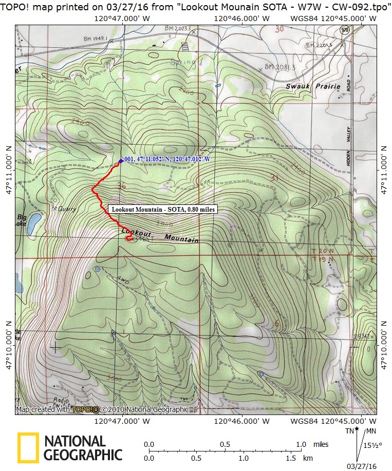
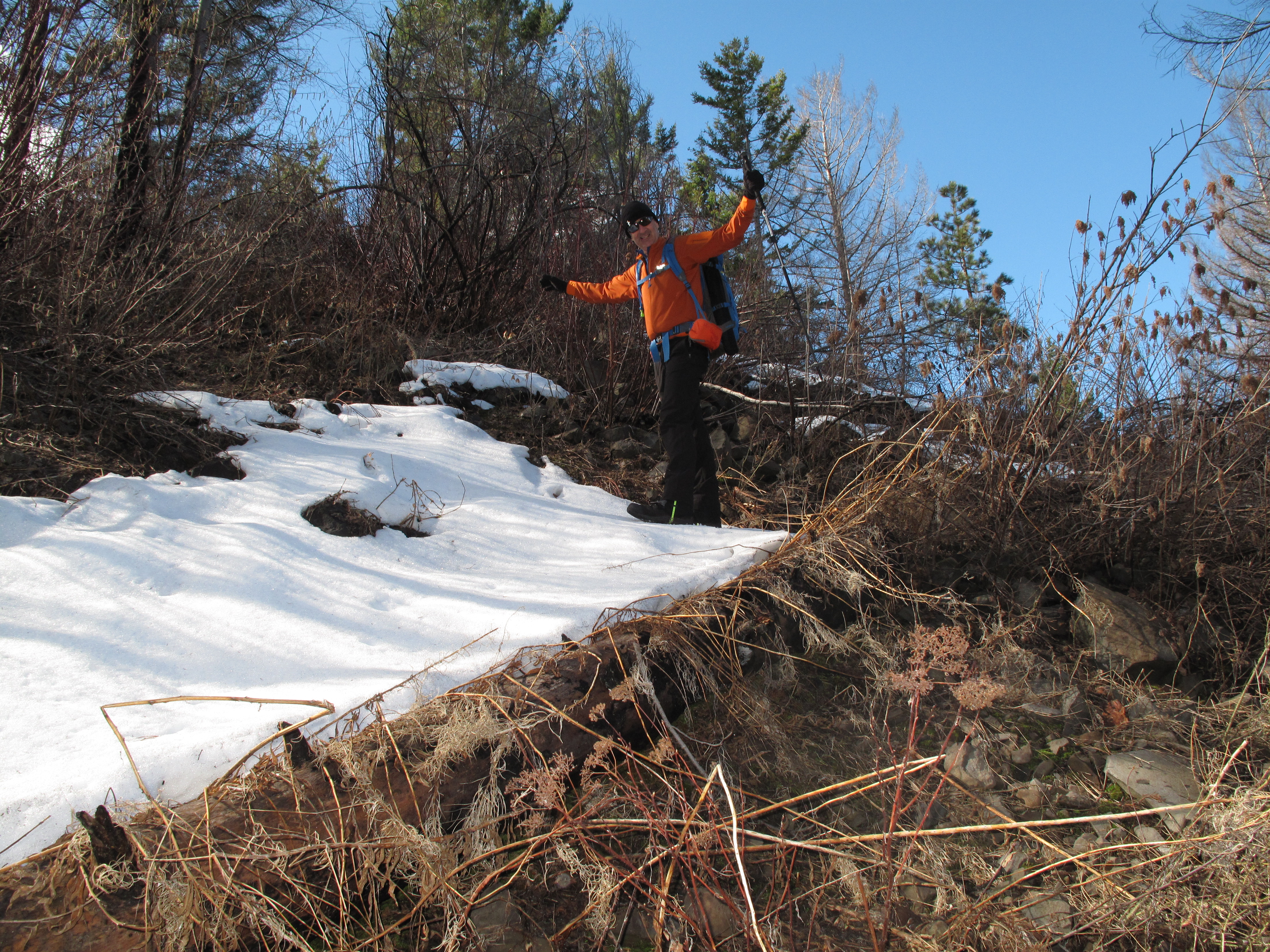
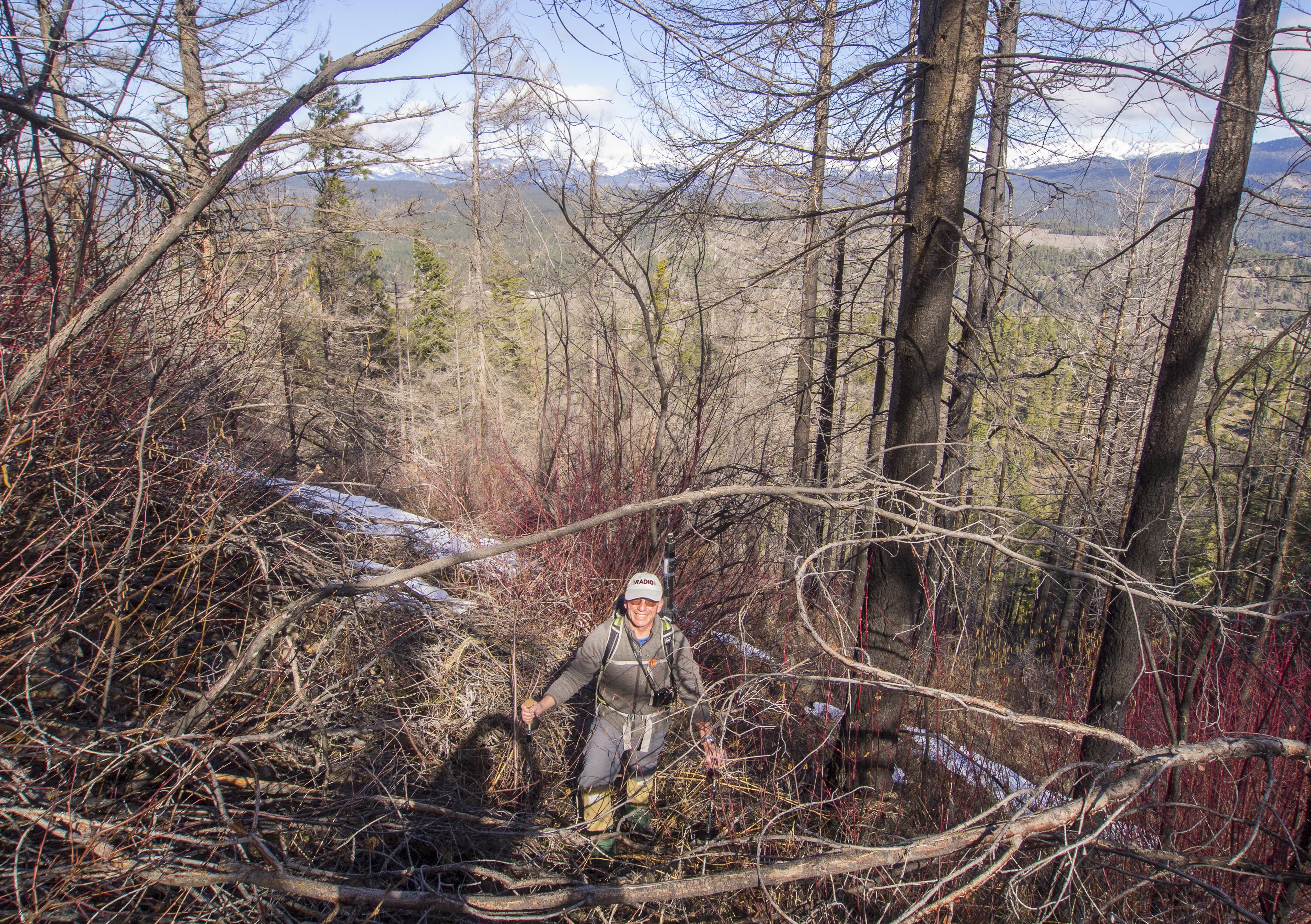
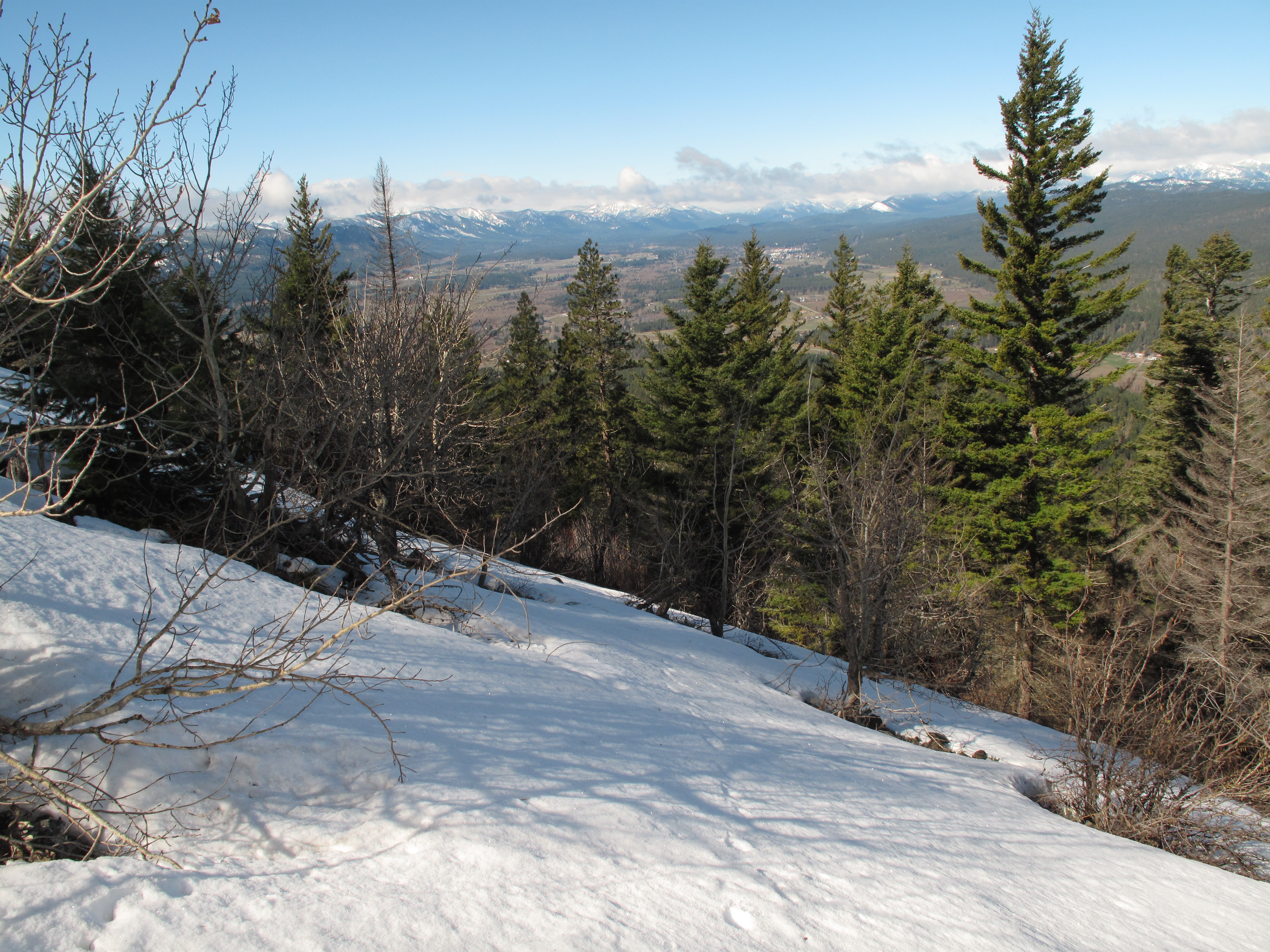
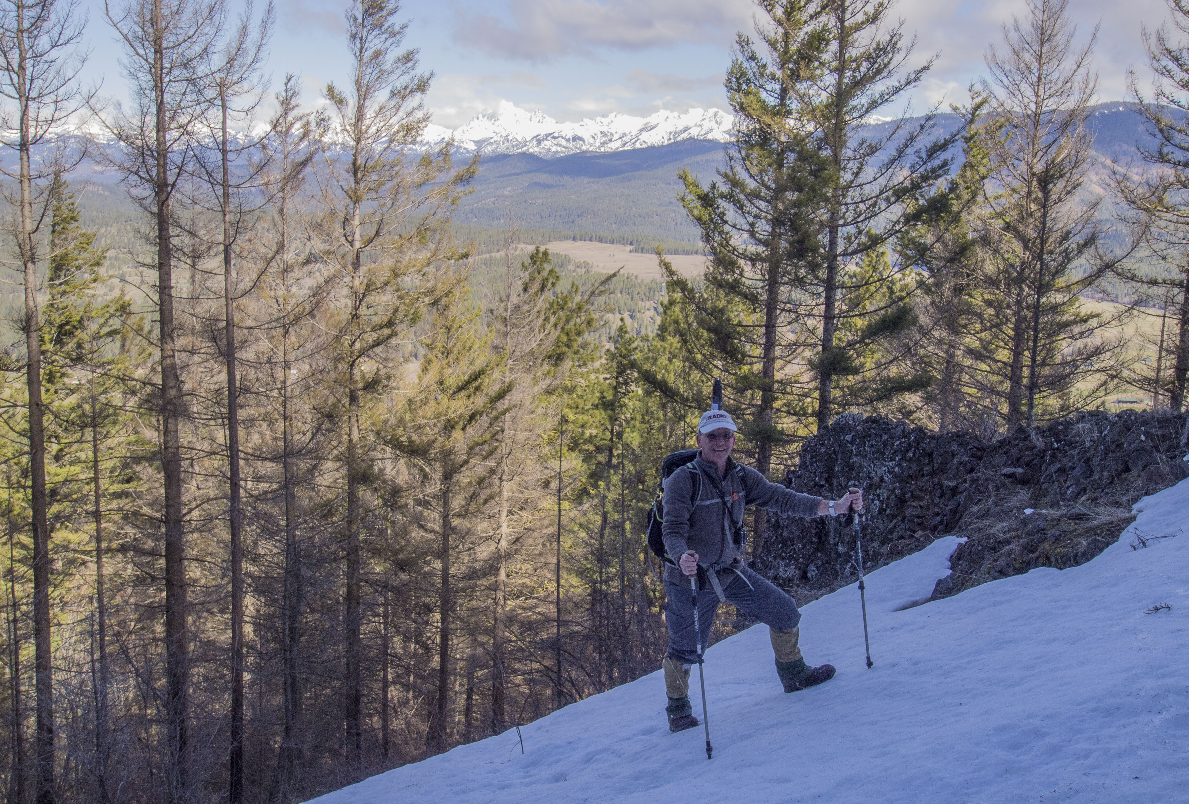
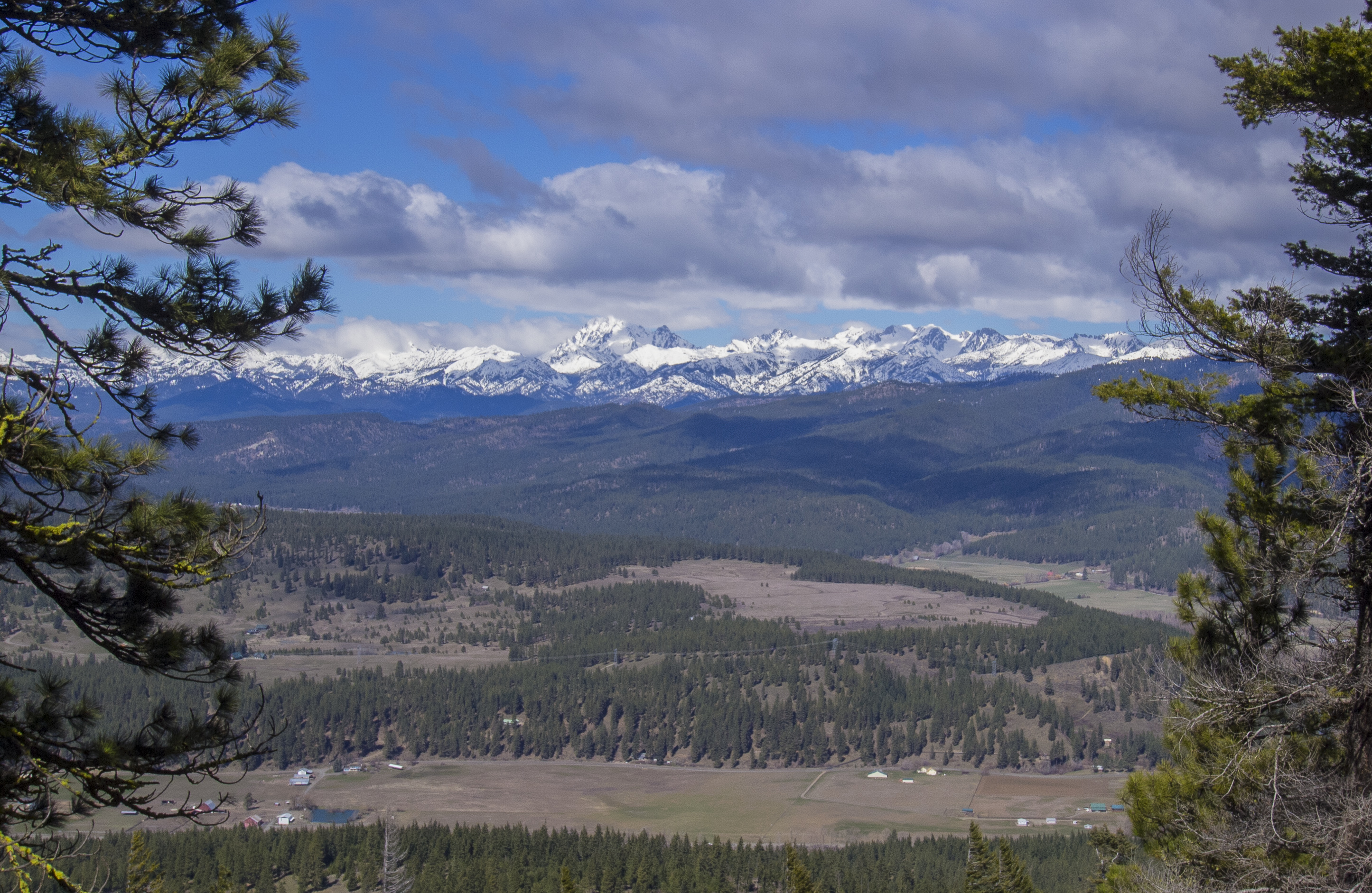
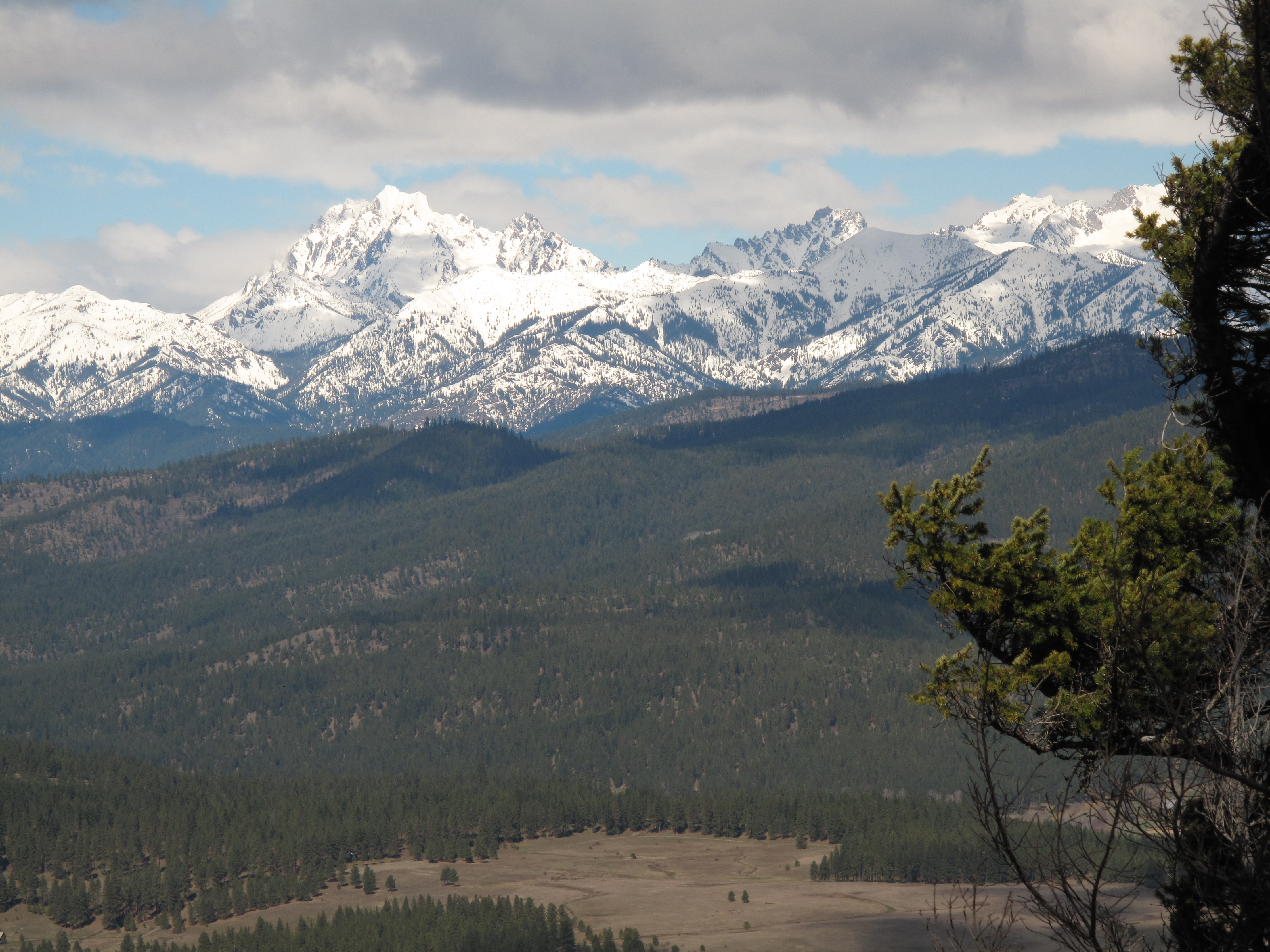
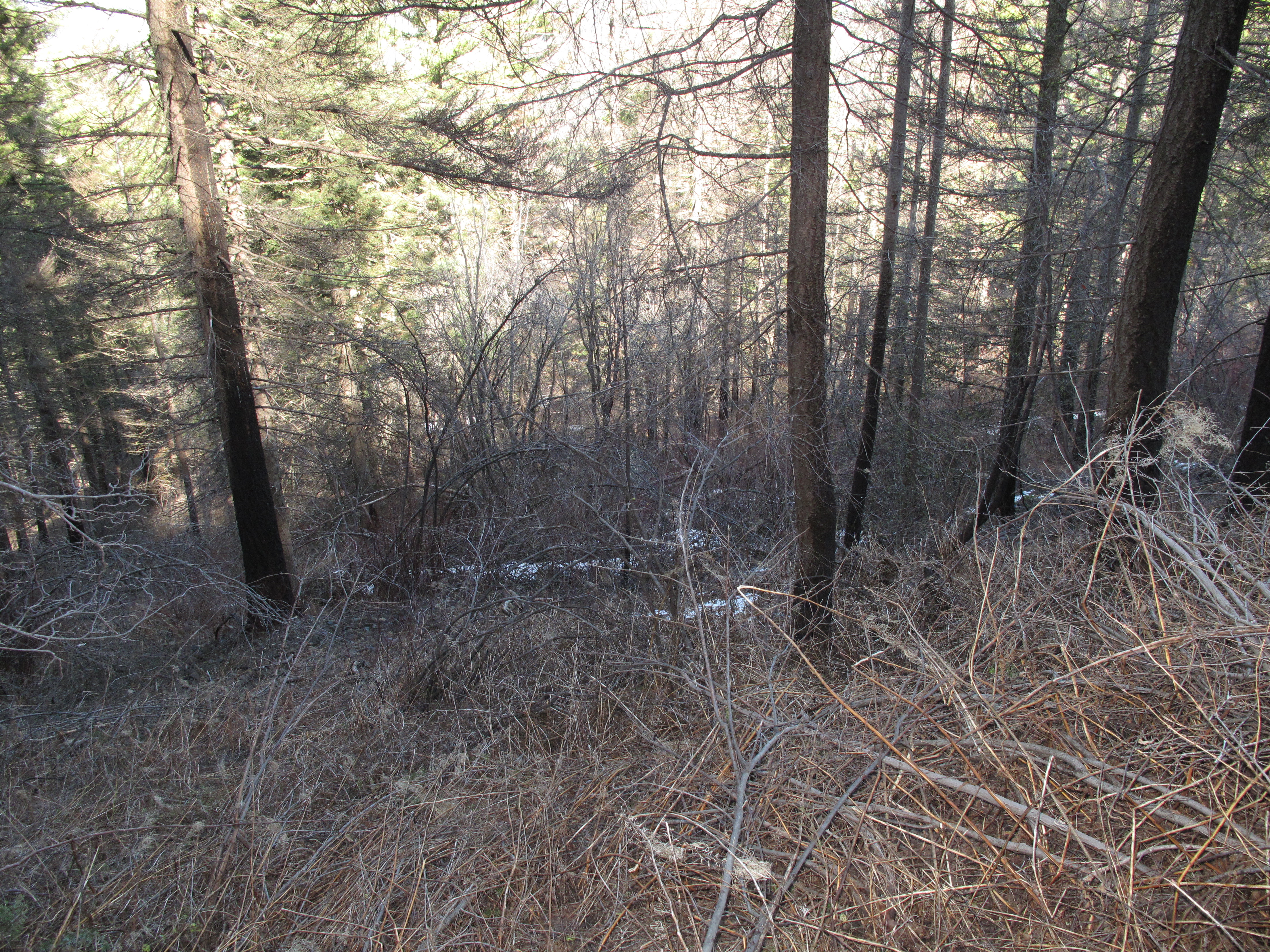
TH Location, Parking and Route Choice: We took GPS readings and studied the USGS Topo map to make certain we were in Section 36. The reason for the careful study, parking location and route we chose is that the entire Section 36 is owned by Washington State Department of Natural Resources, and is therefore "public" land. Virtually the entire rest of Lookout Mountain is in private ownership. Luckily, as can be seen on the map, even the summit area of Lookout Mountain is in DNR land. Waypoint 1 on the map is our TH / parking location, elevation 2,446 feet. This results in an elevation gain of 1,019 feet in approximately 0.80 miles. Travel was generally over steep, rocky and brushy terrain, with occasional patches of hard snow, mainly near the summit. Being early spring was somewhat helpful, as the underbrush was not fully grown out. We speculated that travel would be considerably harder in summer or fall months. See photos. We left the TH at 10:25 AM and summitted at 11:05 AM. The summit area of Lookout Mountain is a little non-descript, but the broad summit plateu has amazing views of the Stuart Range, Teanaway Mountains, Teanaway River Valley and the greater Cle Elum area. See photos.
During the drive to Cle Elum from Seattle, it was windy, raining hard and even snowing in vicinity of snoqualmie Pass. It looked like there was several inches of new snow above 4,000 feet. At times the outing looked a little doubtful... On Lookout Mountain, the weather was cool and windy, but generally sunny.
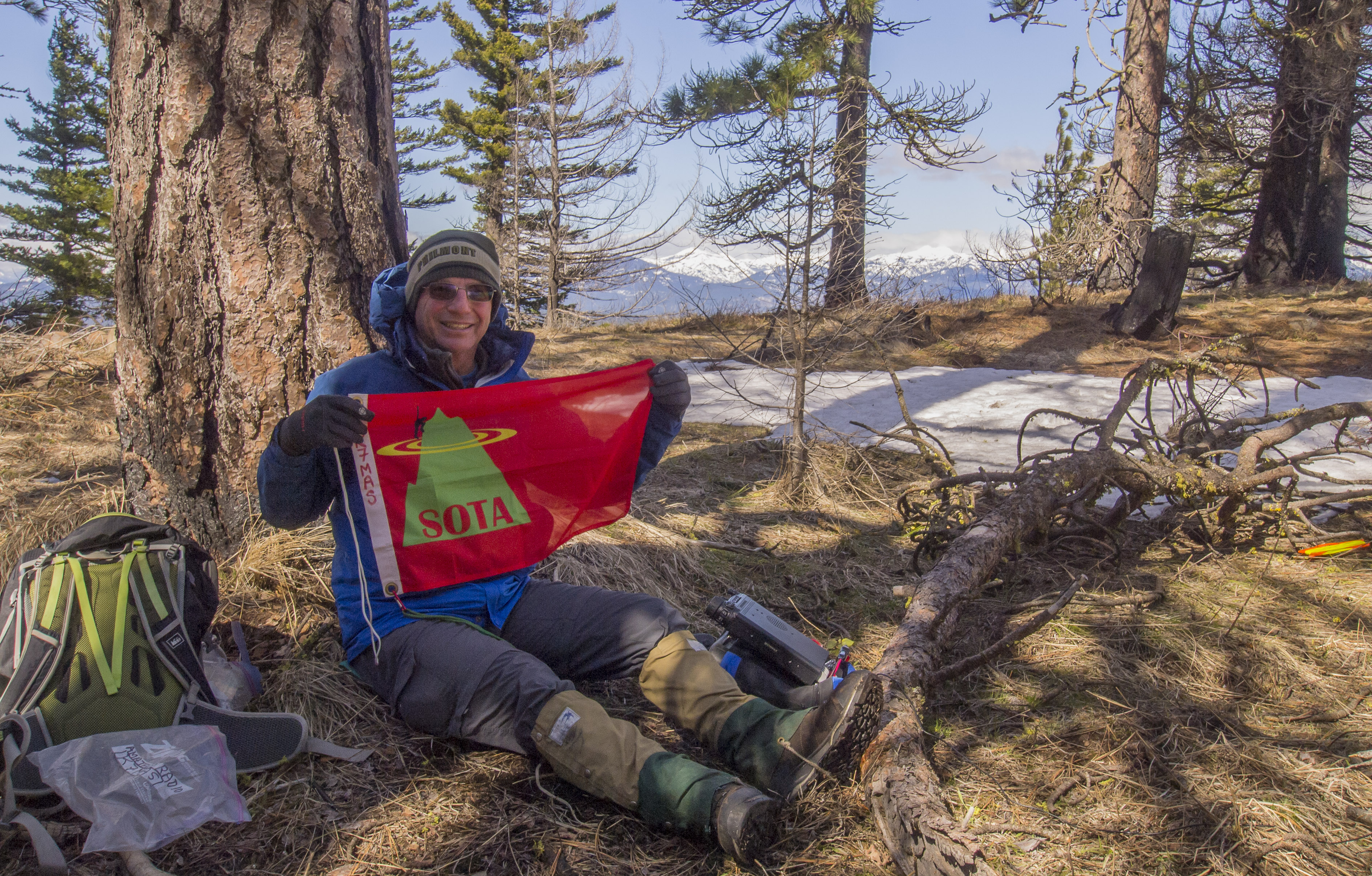
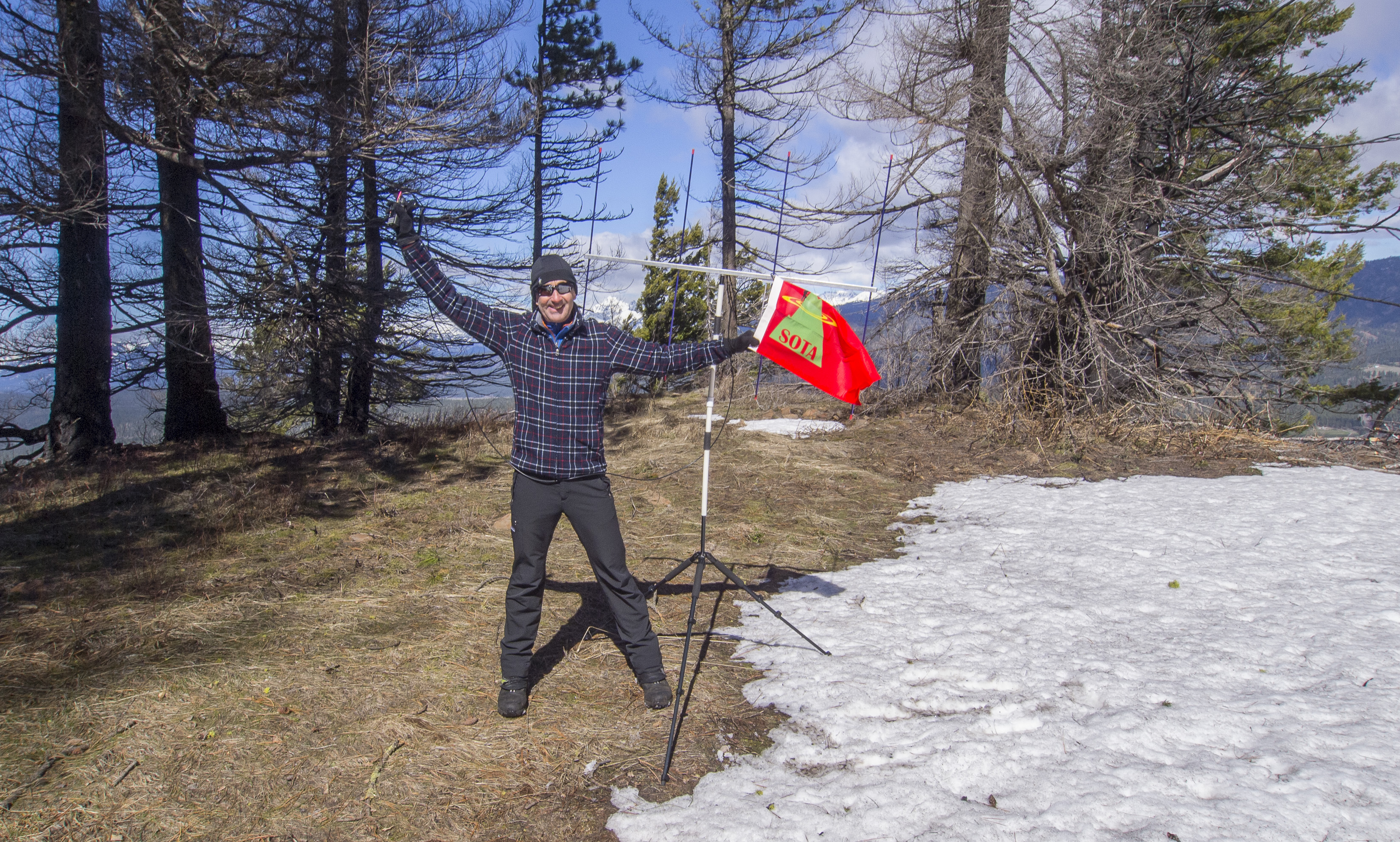
We set up quickly for the SOTA Activation, partly in an effort to stay wam. Air temperature was 43 degrees, and the wind was gusty, perhaps to 20 MPH at times. Tim, KG7EJT, set up for 2M FM using his trusty 4 element Arrow Yagi antenna. I set up for 40M and 20M operations, using my usual linked dipole, slung from a 25 foot carbon fiber fishing pole. In a little over an hour of operations, I made 12 contacts (10 each 40M and 2 each 20M). Tim made 10 contacts, 5 each in 2M FM, and 5 contacts on 40M SSB, using my equipment.
After taking the equipement down, a quick lunch and hot tea break, and a few more pictures of the great views, we headed quickly but carefully down the snow, talus and brush slopes. We descended in approximately half an hour. Thankfully the FJ Cruiser was safely where we had left it, near the "Bone Yard", undisturbed by Man nor Beast nor Ghost....
Thank you so much to my Chasers and Contacts! I worked: KV7L; W6FHZ; KB6QVI; W6IO; KB6KAX; W7DJE; WK6KW; NU6O; AA6GP; KB5HA; KB7WIA and KF7BRI.