Three Wild Turkey Winners! On a springtime outing to the Spokane, Washington region, we activated three (3) SOTA Summits in the mountains north of the City of Spokane. The reference to Wild Turkeys is on account of seeing numerous of the large wild birds that almost became the National Symbol of USA. See: http://www.nwf.org/News-and-Magazines/National-Wildlife/Birds/Archives/2007/Americas-First-Bird-Controversy.aspx . We chose this area, as there were several SOTA Summits that were easily accessible from the 2 alpine ski resorts north of Spokane: Mount Spokane Ski and Snowboard Park and 49 Degrees North Mountain Resort. This is report 3 of 3, detailing the Activation of Chewelah Mountain.
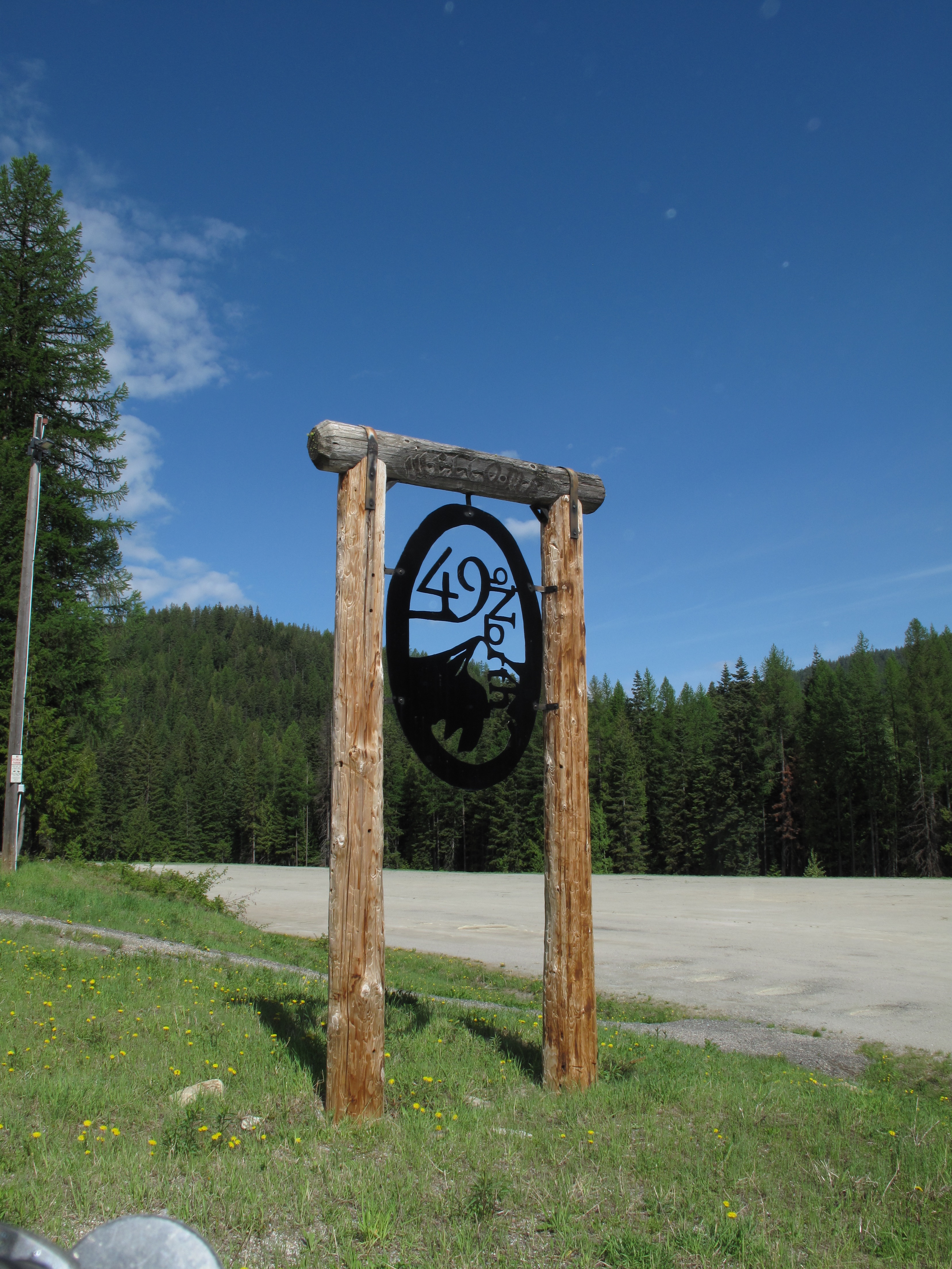
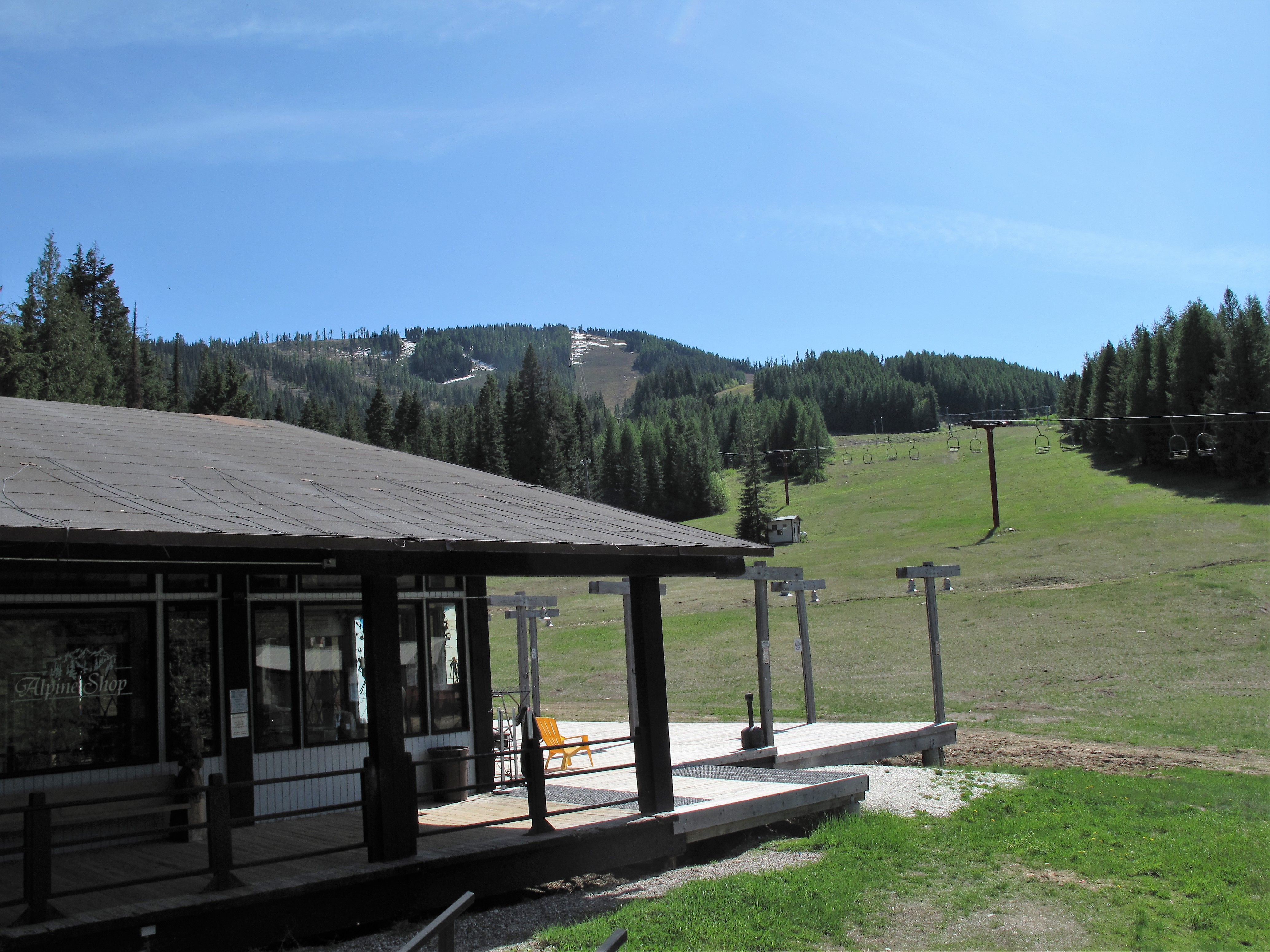
Part 2 of our SOTA Activations north of Spokane included the Activation of Chewelah Mountain, 5,773 feet / 1,760 Meters elevation. Like the 2 activations of the day before, Chewelah Mountain crowns an alpine ski facility, in this case 49 Degrees North Ski Resort. See: http://www.ski49n.com/. I have activated quite a number of SOTA summits in and around ski areas. It is one of my favorite sub-pursuits in SOTA. These types of activations generally offer easy vehicular access, sometimes open facilities for food, restrooms and emergency support, and a slightly more “civilized” Activations platform.
Chewelah Mountain / 40 Degrees North Ski Resort is 62 miles NNE of where we were staying in Spokane Valley. The road access is superb – via US Highway 395, North from Spokane to the town of Chewelah, then East on the beautiful Flowery Trail Road which crosses the mountains connecting the Chewelah River valley in Washington, and the Pend Oreille River valley in Washington / Idaho. It took us about 1½ to reach the very large parking area at 49 Degrees North Ski Resort. We were the only hiker / climber vehicle in the entire parking area, although there were quite a number of ski area service vehicles nearby in the ski area service facilities. This ski resort encourages year round use of the area, even keeping some of the facilities open, heated and stocked. See: http://www.ski49n.com/content.php?id=106 . Also see: http://peakery.com/chewelah-mountain-washington/ .
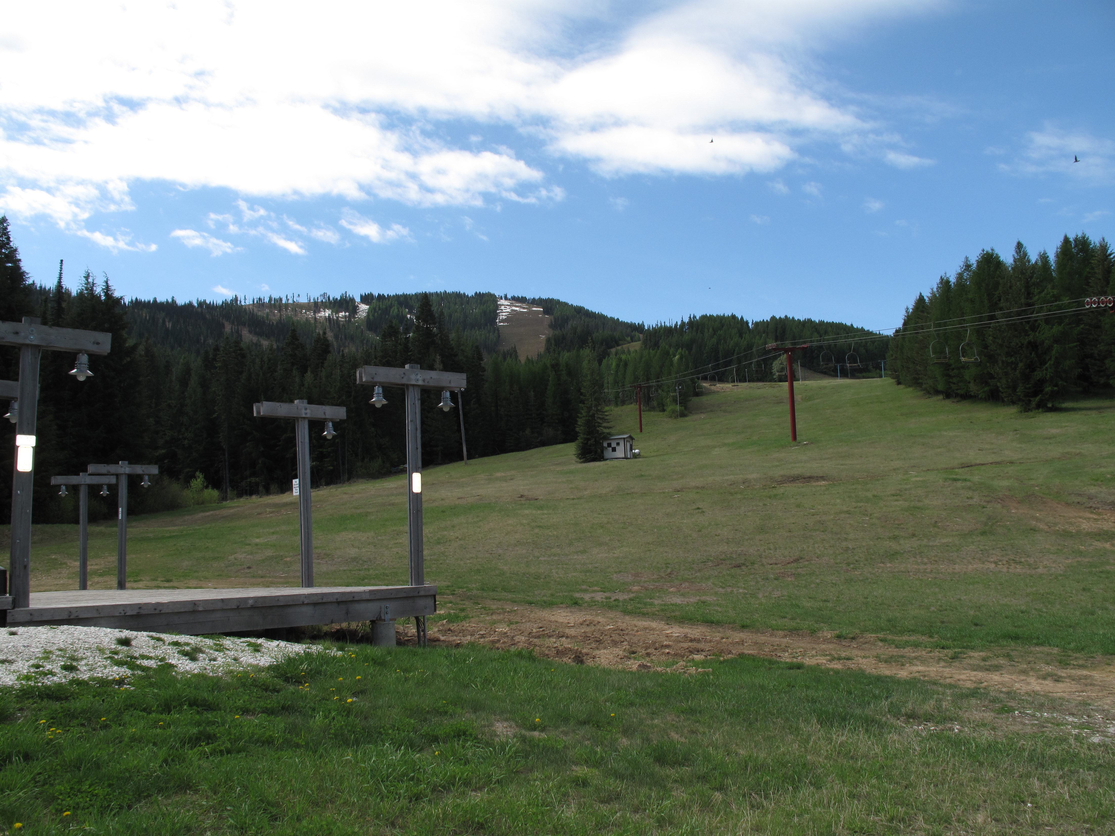
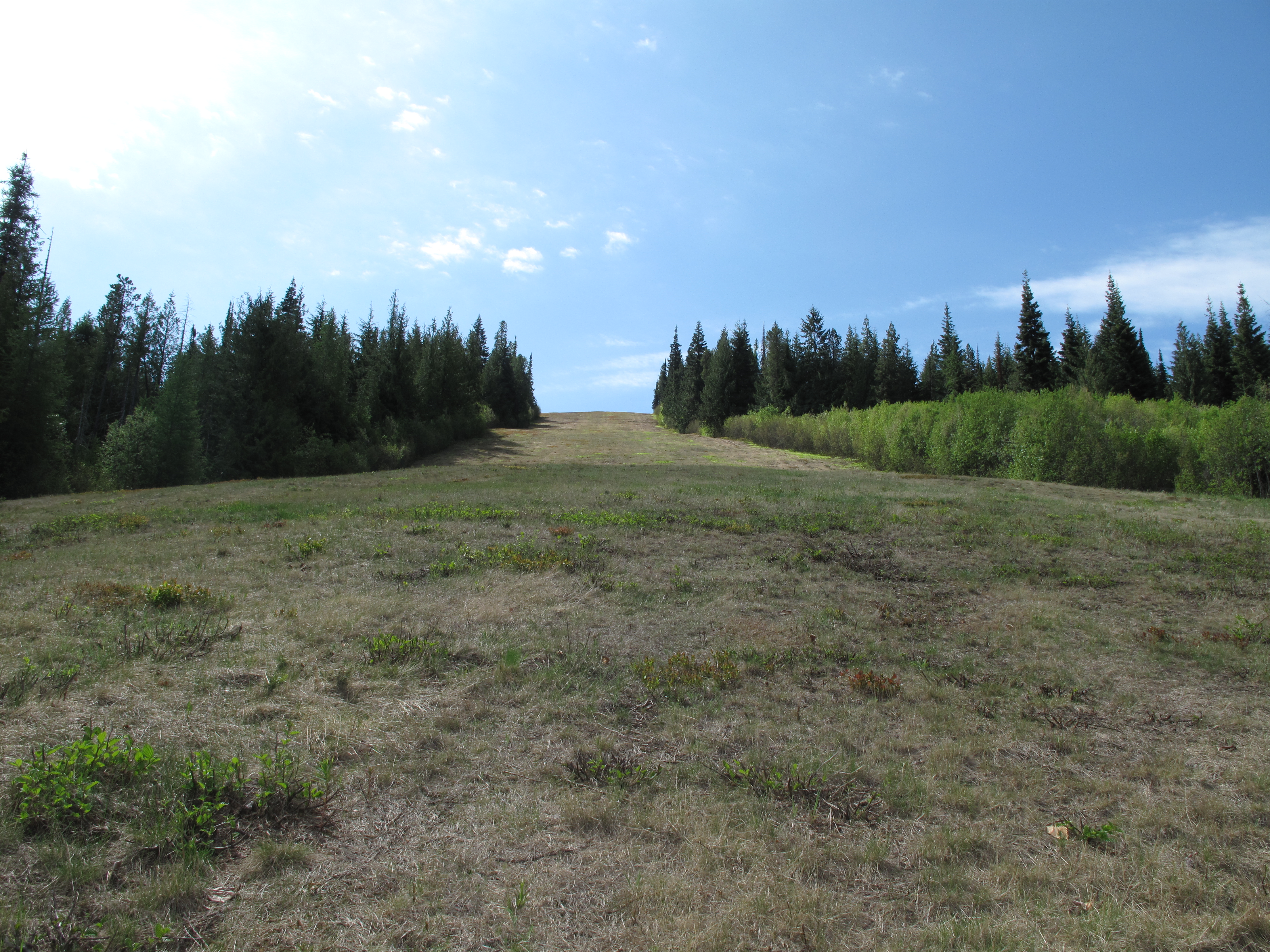
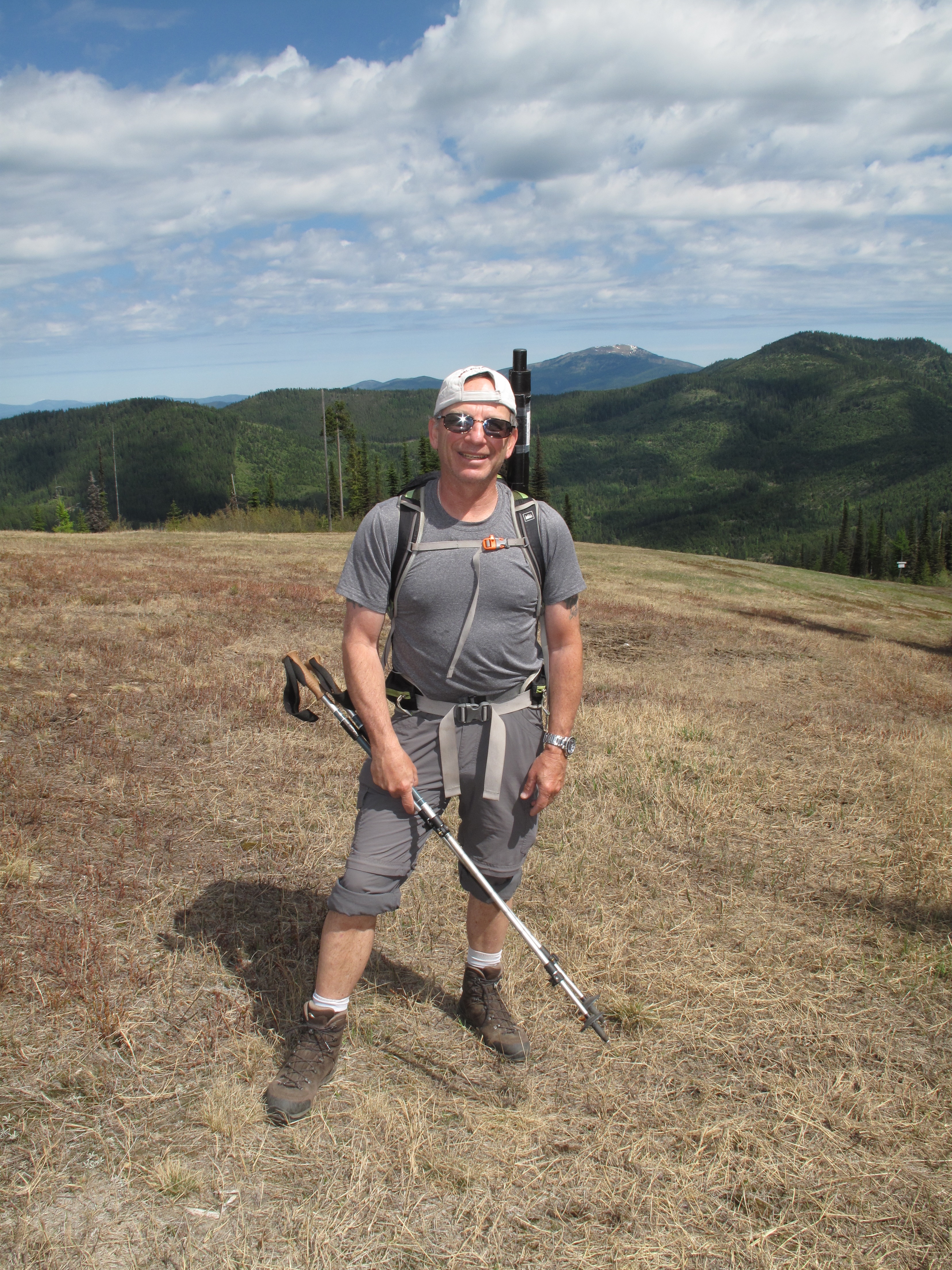
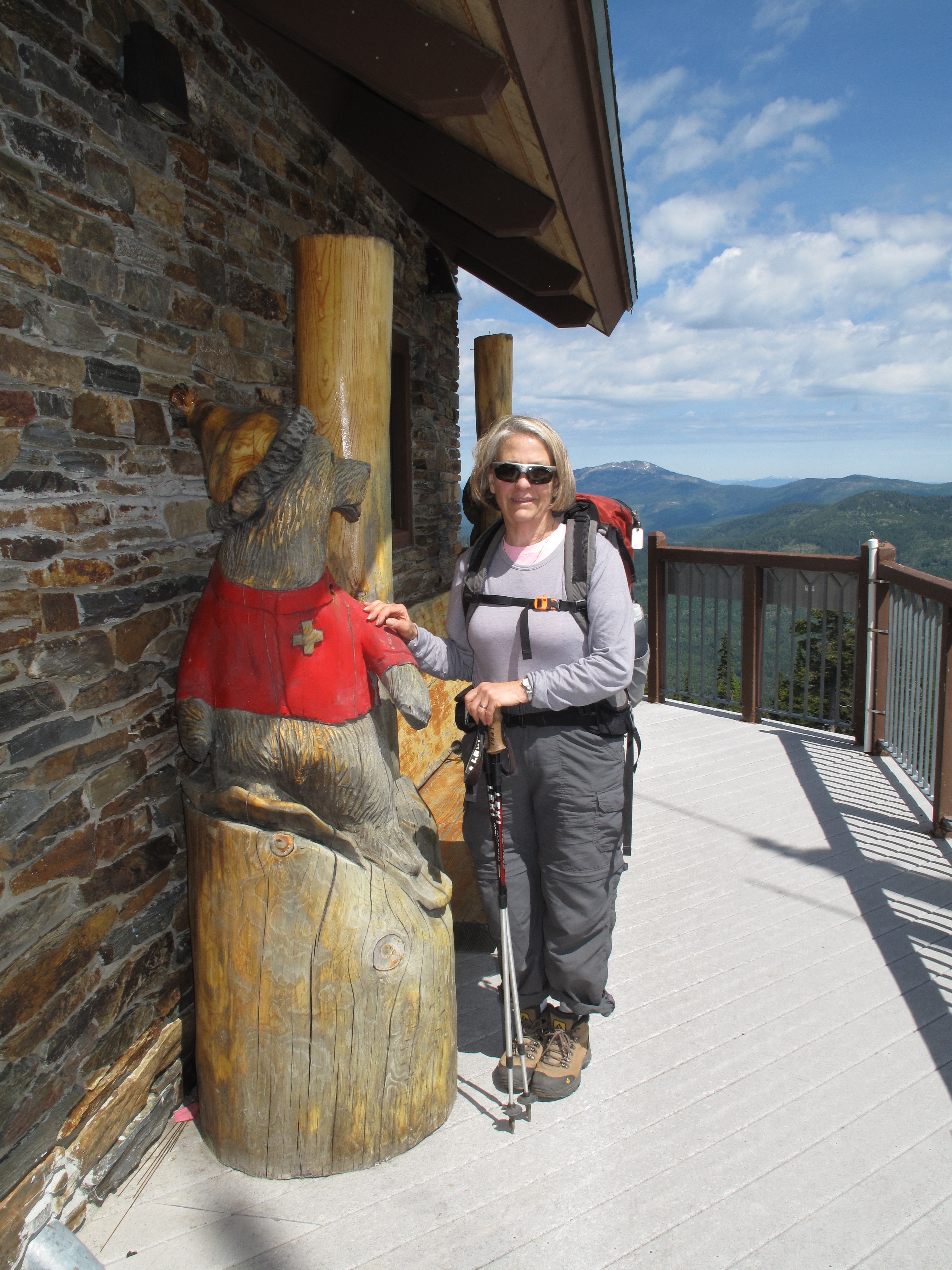
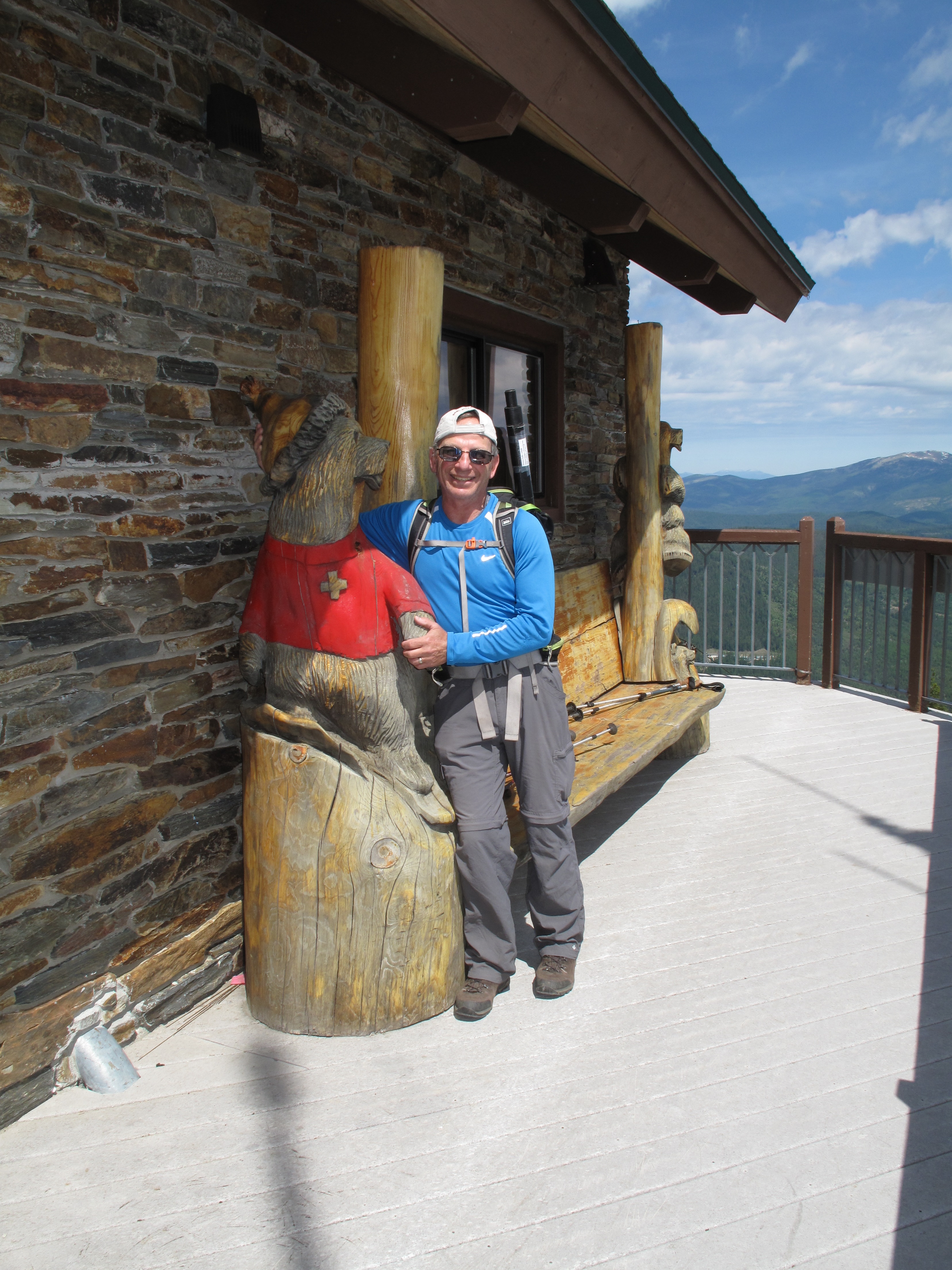
Our route was approximately 2 miles each way, with an elevation gain of 1,851 feet. We used the ski runs for our ascent. We ascended: lower “Silver King” (blue); upper “Silver Queen” (black) and “Silver Ridge” (green) to the summit. See: http://www.ski49n.com/upload_content/49NTrailMapPanel-RGB-2012.jpg . This is a very scenic way up the mountain, entirely in the open, and offering outstanding views in the North, East and West directions. We were very impressed with how well graded, maintained and clean the ski runs were. It took us 1:50 hours to reach the very nice Ski Patrol cabin at the top of the mountain. It has a wonderful viewing deck with benches and wood craved bears…a perfect spot for lunch, had it not been so windy. The sun was fully out, but the temperature was about 60 degrees, with a steady wind of 15 – 20 mph. We found a good SOTA operating position closer to the radio facilities that lie West of the summit. It was a little more sheltered from the wind there.
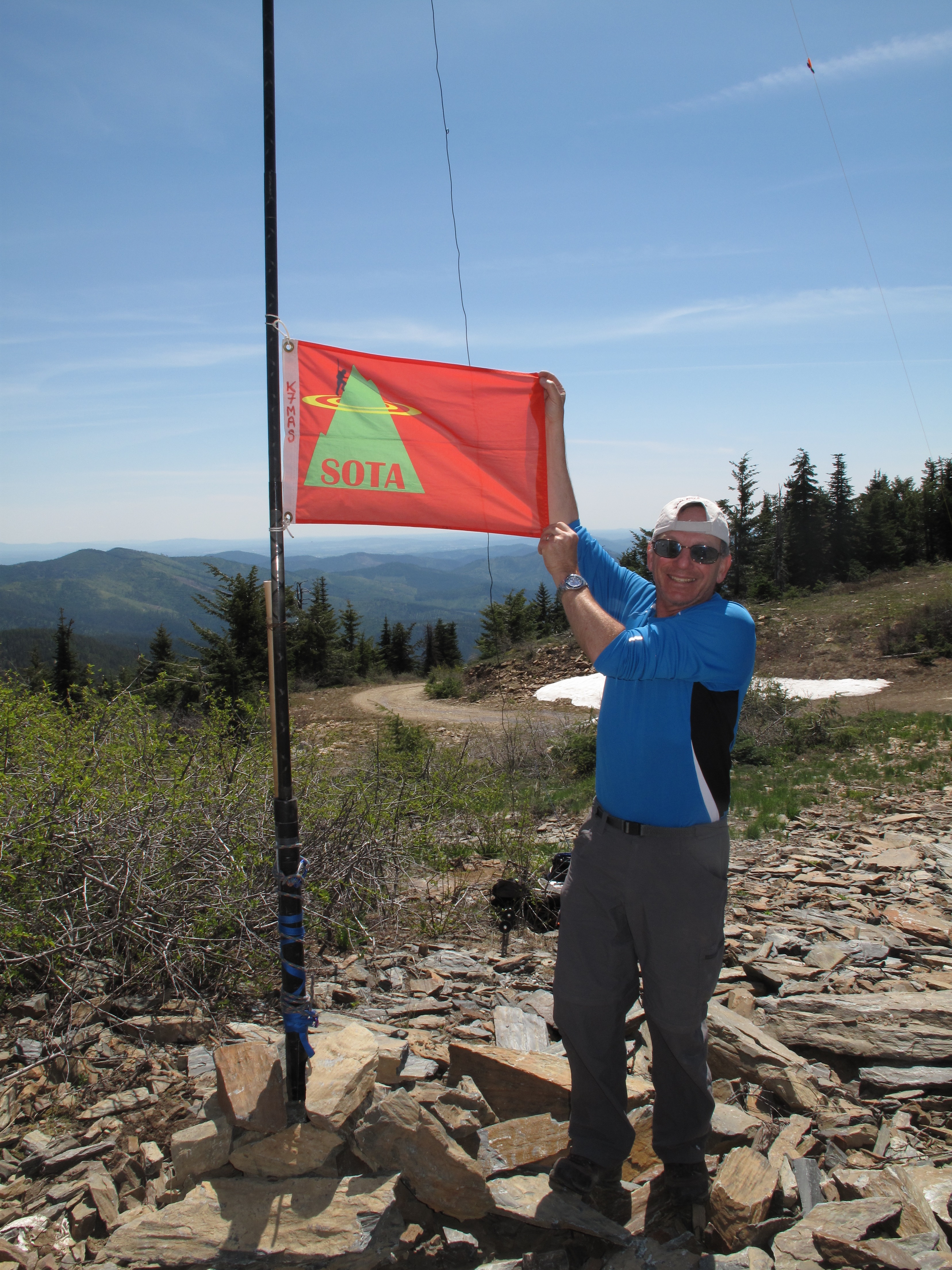
I started the SOTA Activation at 12:15 PM on 2M FM, hoping to contact some of the hams I worked the day before. I was happy to do so in the case of KD8DXC. I then moved on to HF, setting up the Inverted V Dipole and my Yaesu 857D radio, and operating on 40M SSB. I finished up the activation at 1:10 PM, with a total of 10 contacts.
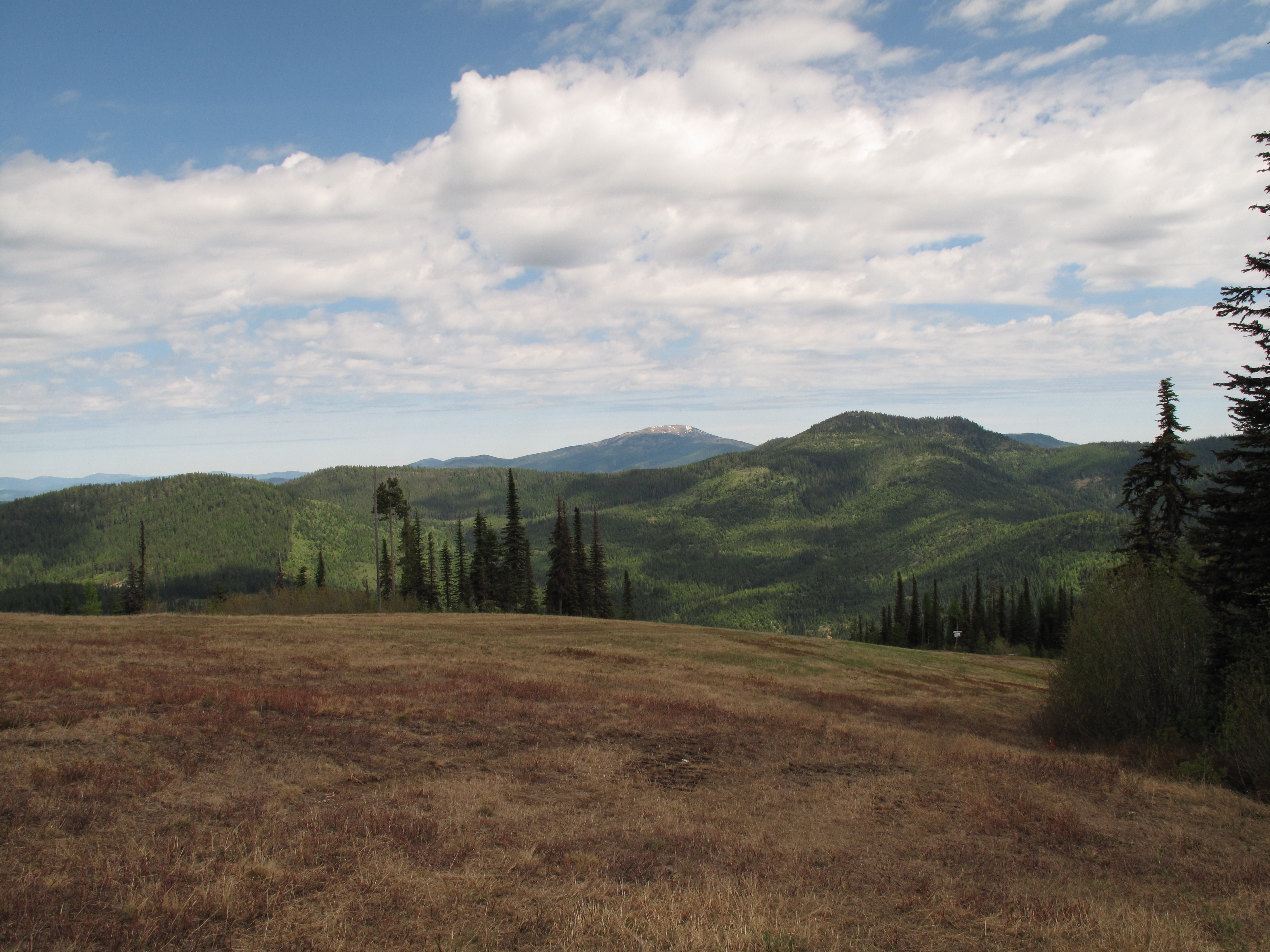
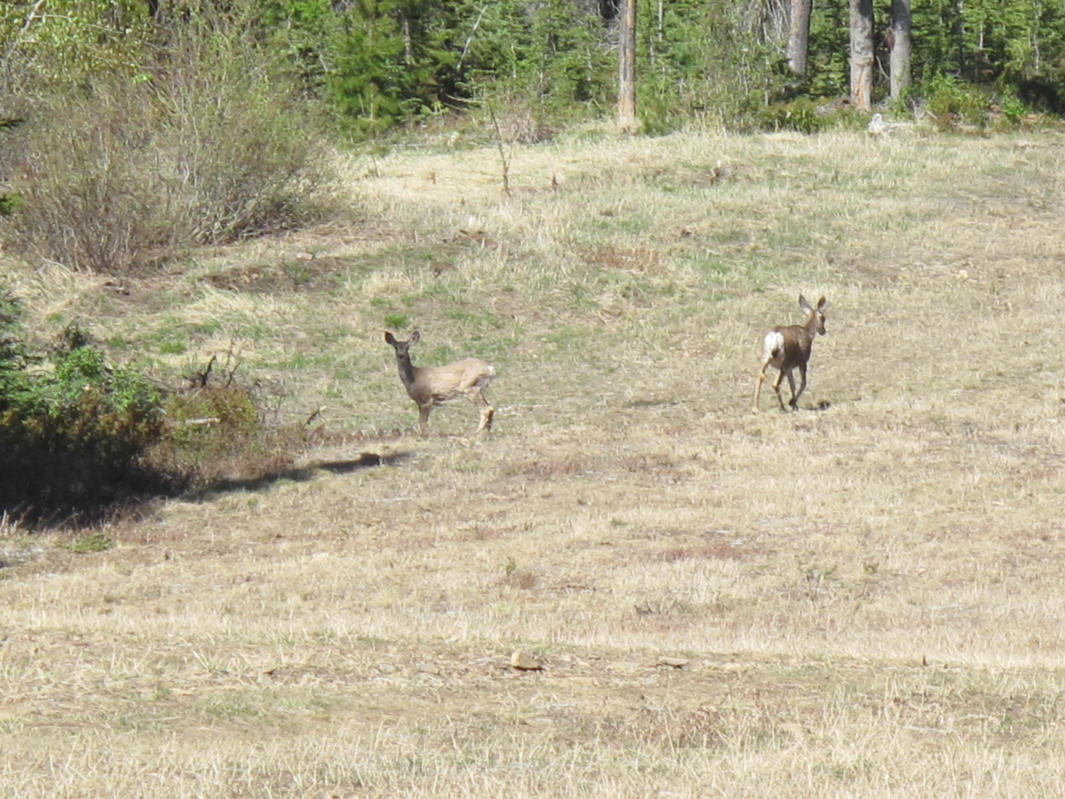
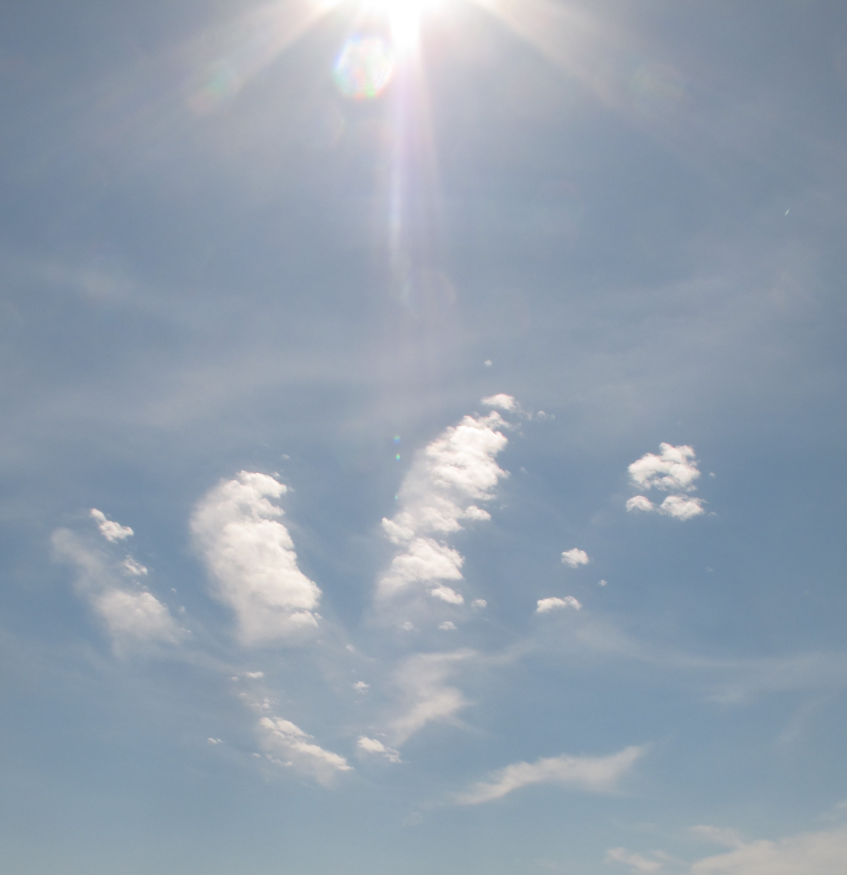
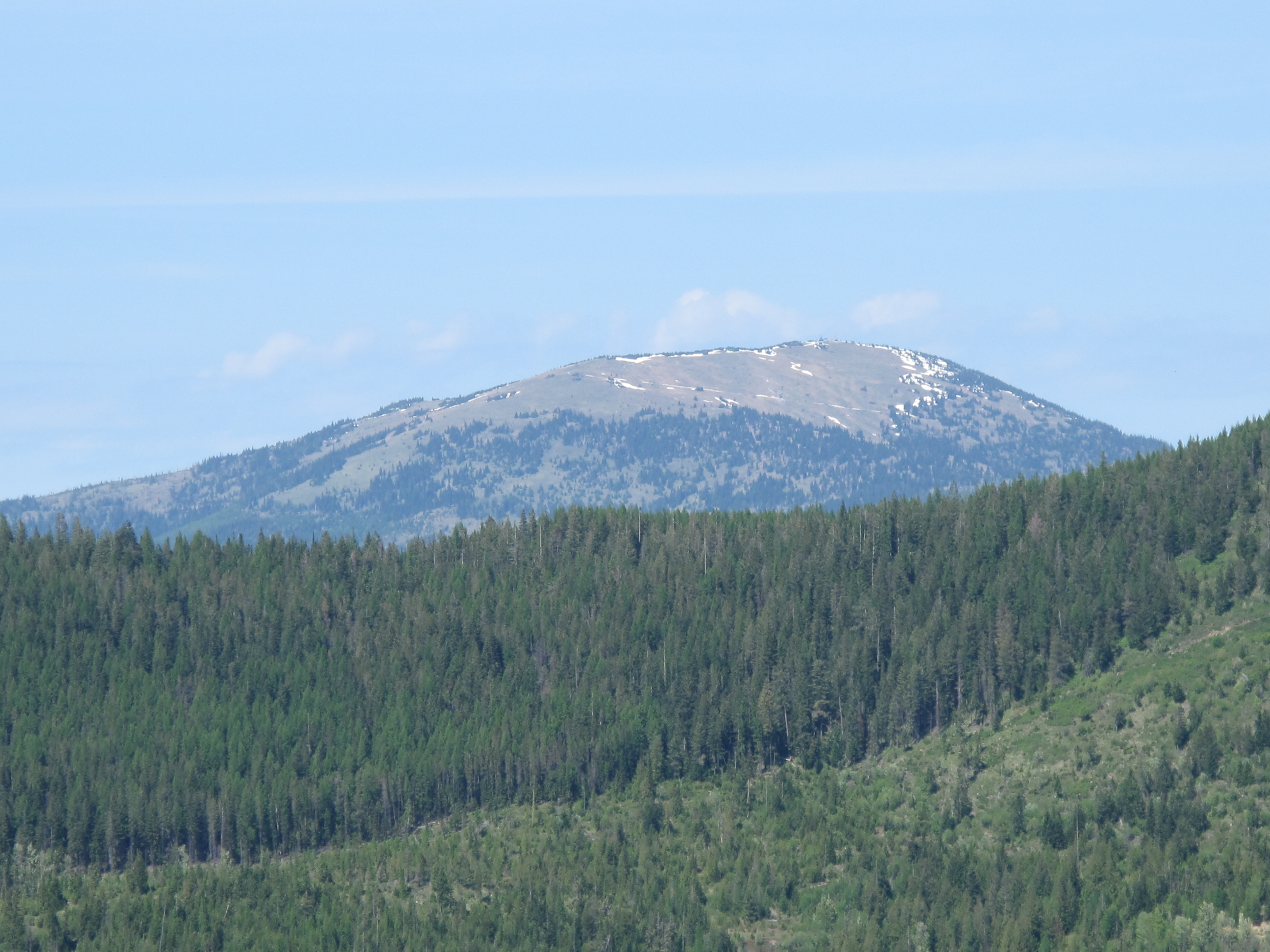
We descended the same route, enjoying a slightly diminished wind, and warming temperatures. The ski area lies on the North face of Chewelah Mountain. Therefore we had great views to the North into Washington’s State’s far Northeast, East into Idaho and probably as far as Canada, which lies about 50 miles North of the mountain. We saw two whitetail deer cruising across the ski slopes below us. They seemed a bit skittish, and bolted as we got near. We also saw wild turkeys, marmots and squirrels, and well as numerous types of birds. We also saw a strange cloud formation that looked like a skeletal hand arrayed across the heavens. Despite the fact that it was Friday the 13th, we paid no attention to the spooky sky apparition! We were having far too great a time to care about such nonsense. We made it back down to the main lodge by 2:55 PM, a round trip of 4:45 hours, including a leisurely lunch at the summit.
I worked KA7FVV; KE7ADT; KG7ZCW; K7PHM and KD8DXC on 2M FM. I worked W6IO; N7DCS; KD7WIA; K6GOK and W7RDB on 40M SSB. Thank you so much to all the “Chasers” and all of my contacts. I value each and every SOTA contact I make!