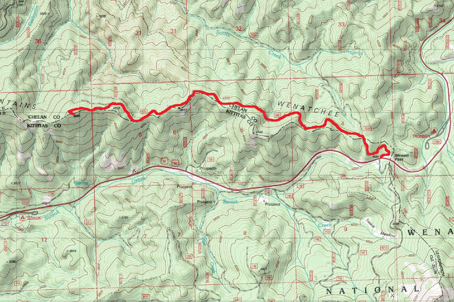
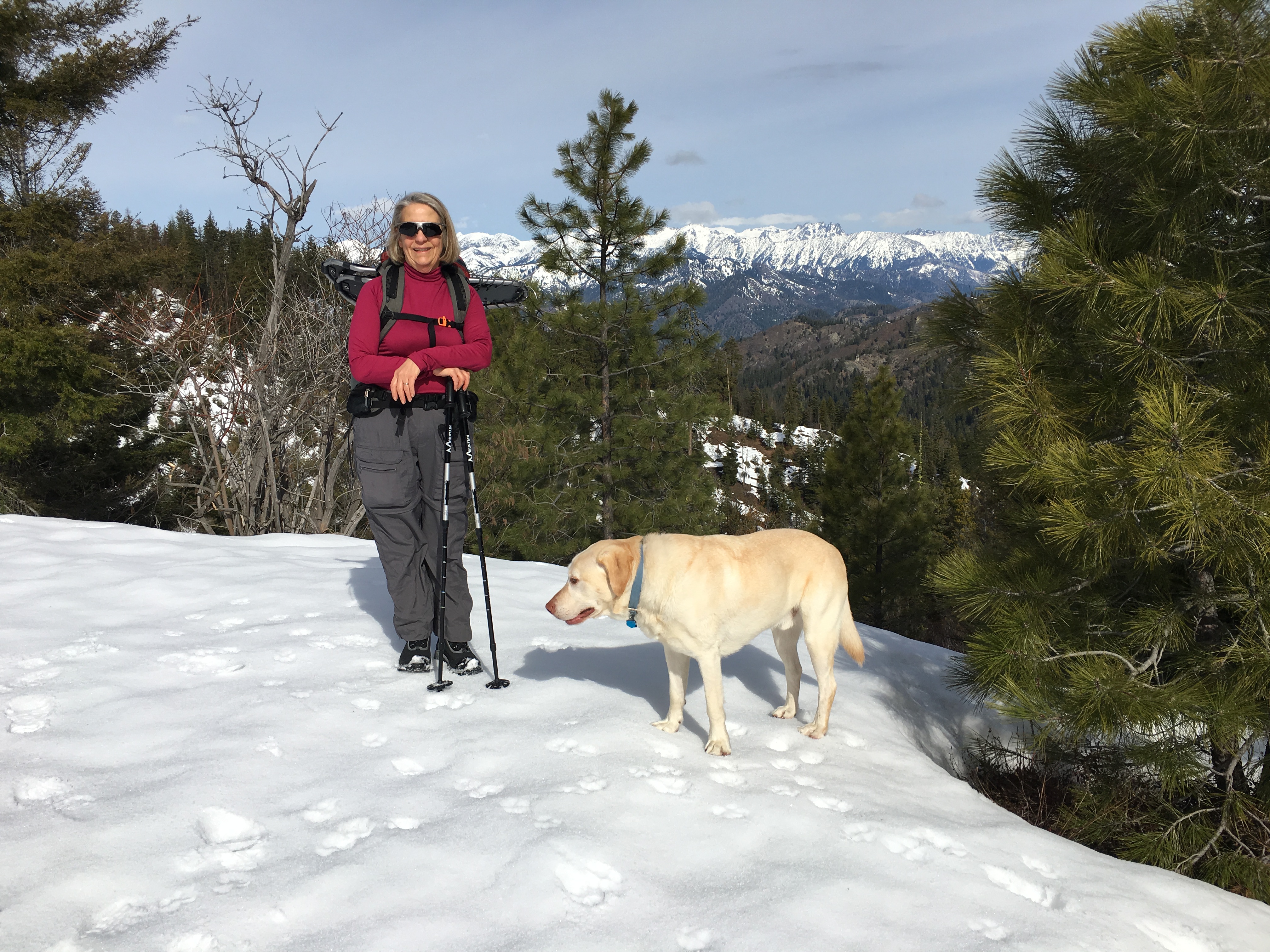
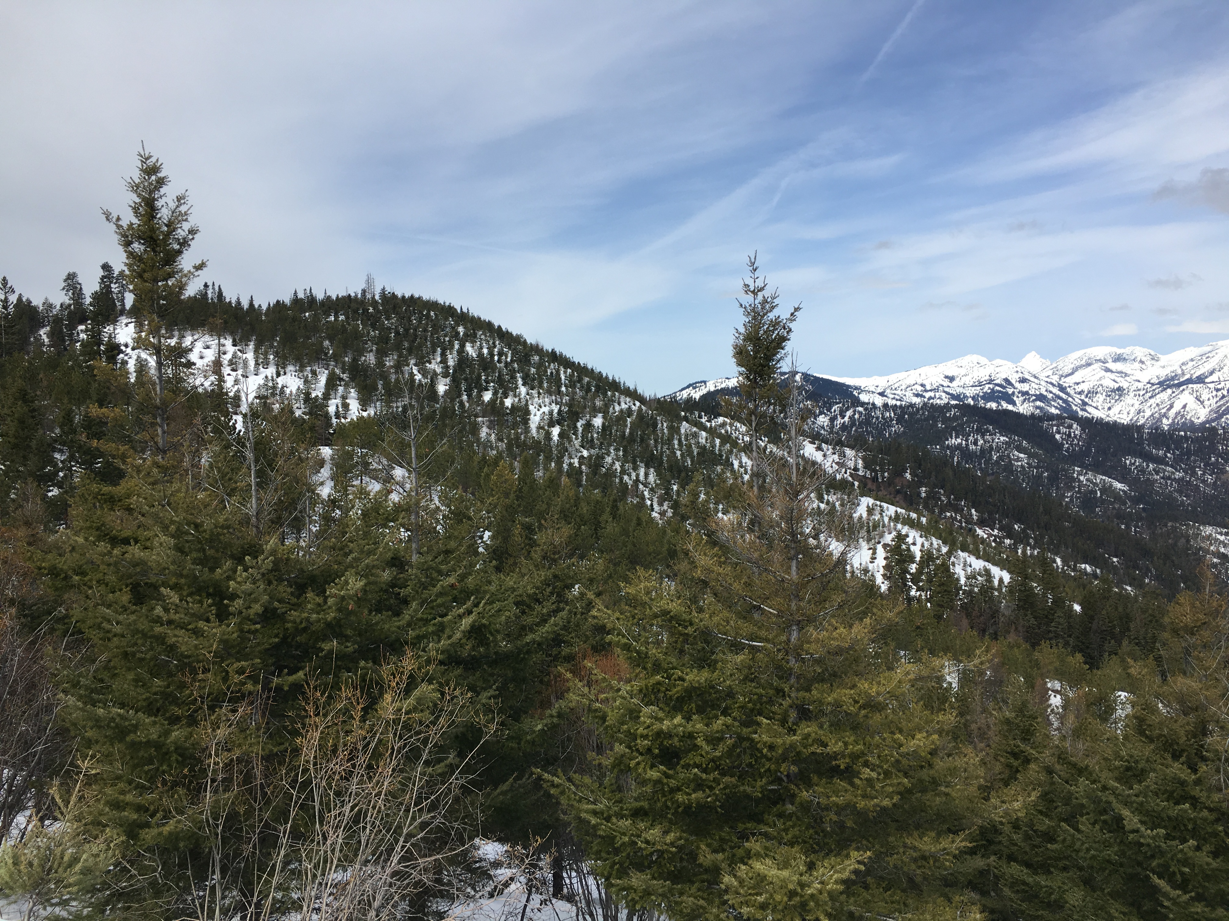
We finally got to Activate Old Pass Hill, after snowshoeing by it a number of times before. Old Pass Hill is a 4 point SOTA Summit of 4,885 feet elevation. In winter, the route is mostly avalanche free, and so is a semi popoluar snowshoe trip. A nice spring day, right before a change in weather, yielded a mostly sunny early morning, with increasing wind and clouds later in the mid day. The temperature at departure from the TH was 37 degrees, and the snow was firm enough to hike on without snowshoes. On the return trip, it had warmed up enough to require snowshoes, and we were gald we had carried them in. The trip is approximately 8.15 miles RT, with about 1,500 feet elevation gain, including many ups and downs along the ridge beween Swauk Creek & Scotty Creek in the Wenatchee Mountains, west of Blewett Pass. We only saw 2 other people the entire day.
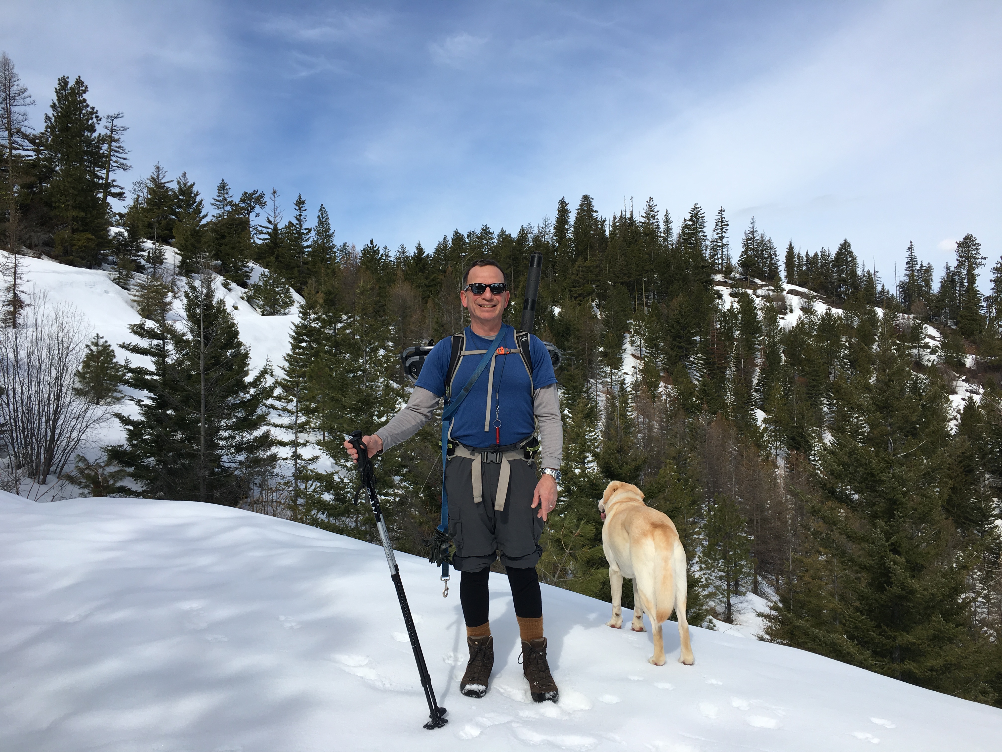
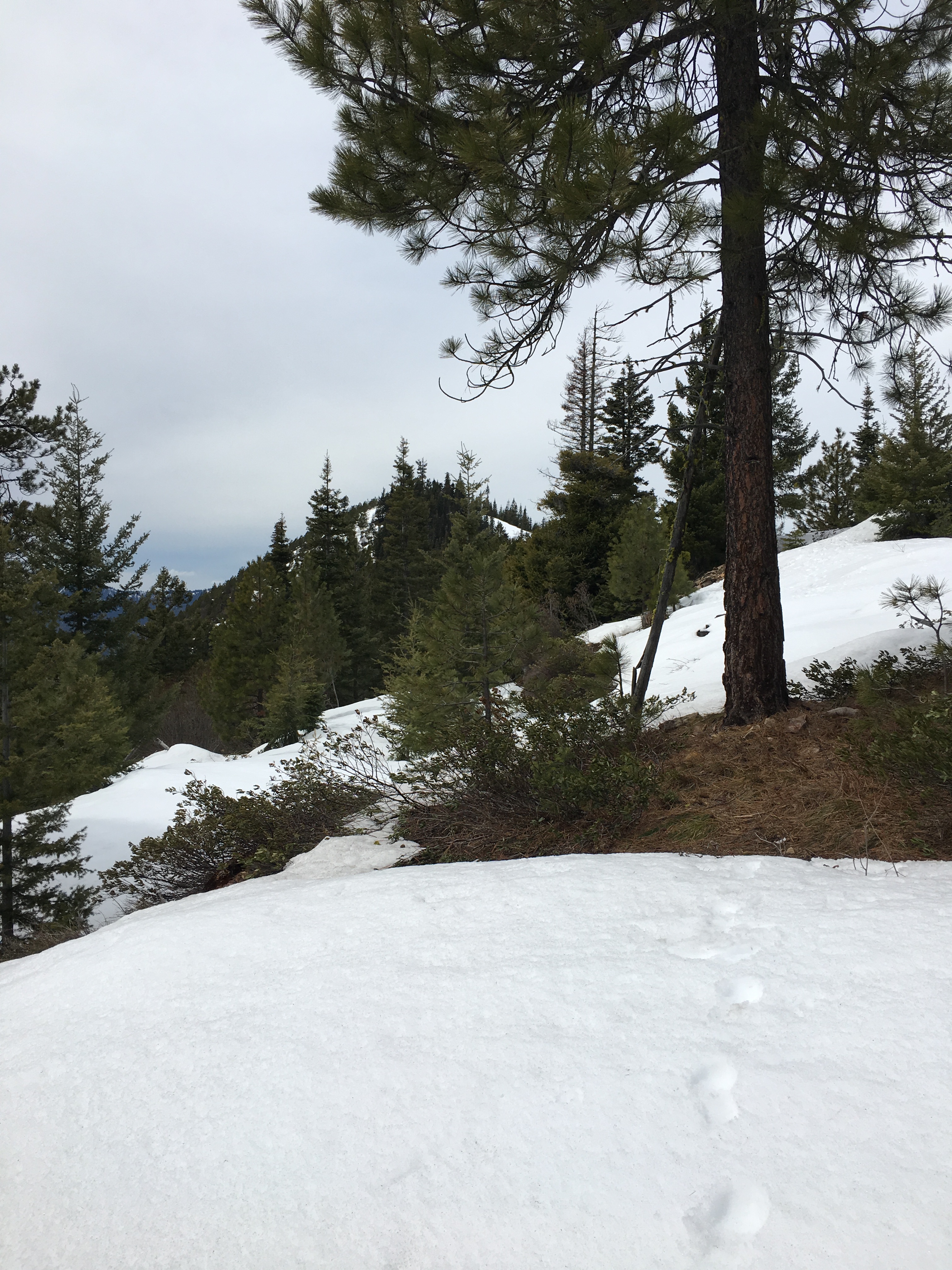
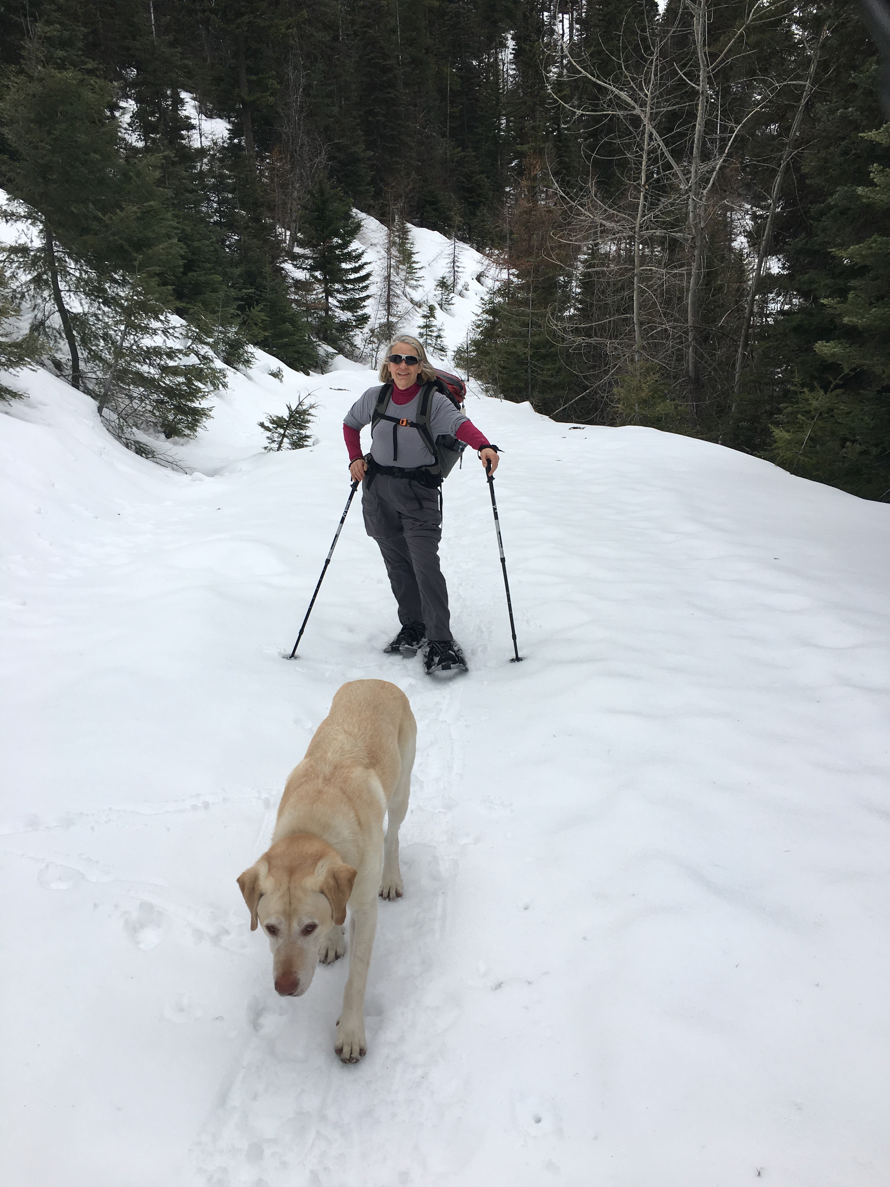
Access to Old Pass Hill is via Blewett Pass, on Washington State Highway 97, which connects I-90 near Cle Elum, Washington, to SR 2, between Leavenworth and Wenatchee, Washington. Route finding is very easy, as you are mainly travelling on a series of logging roads, which in due course, will take you almost all the way to the summit. We decided on a minor variation, gaining the East / West trending ridge just past Point 4,675, and climbing up and over the false summit, and then dropping down a bit before reaching the summit at 4,885 feet. See: http://www.summitpost.org/old-pass-hill/780051 Part of the way along the ridge crest we were following some relatively old bear tracks, a reality which did not please my XYL too much! Dexter the SOTA Dog, on the other hand was immersed and excited in the smells of wild animals.
By the time we made it to the top, the weather was obviously changing, with the wind increasing, and clouds slowly moving in from the NE. The views from the top are very nice, including the entire Teanaway River Basin, the Stuart Range, crowned by the mighty Mount Stuart, 9,415 feet, the second highest non-volcanic peak in the state, after Bonanza Peak,and tenth-highest overall.
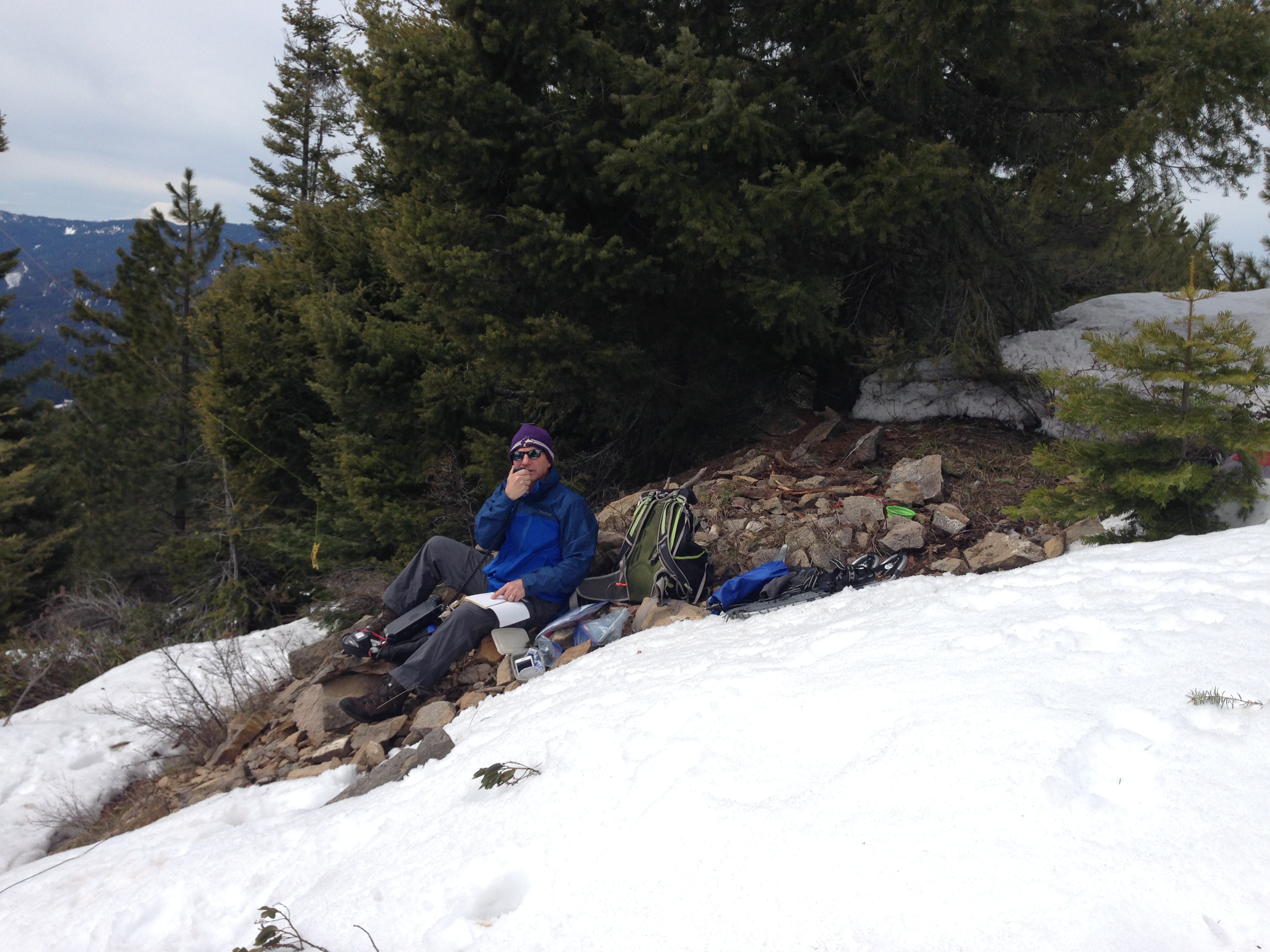
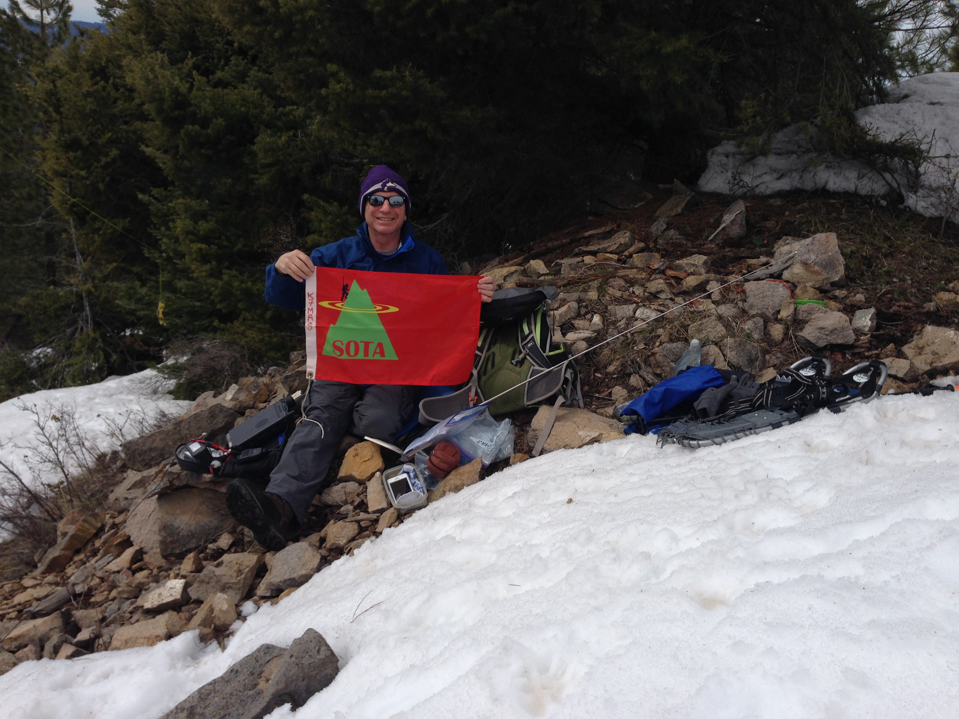
We quickly set up for 40M HF, using my 20M / 40M inverted V Linked Dipole, slung from my 25 foot high carbon fiber fishing pole. Band condtions have not been the greatest, so I was running about 30 - 35 watts output power. I worked 12 contacts all on 40M. I worked: W6FHZ; W7SOB; WA6AXO/VE7; KE7PLN; WM7Y; KK6RU; KG7VVB; AE7AP; AB6CF; NS7P; W6BEN; and KG7VVB (a duplicate, this time QRP). Thank you to all of my contacts, as I appreciate each and every SOTA contact.