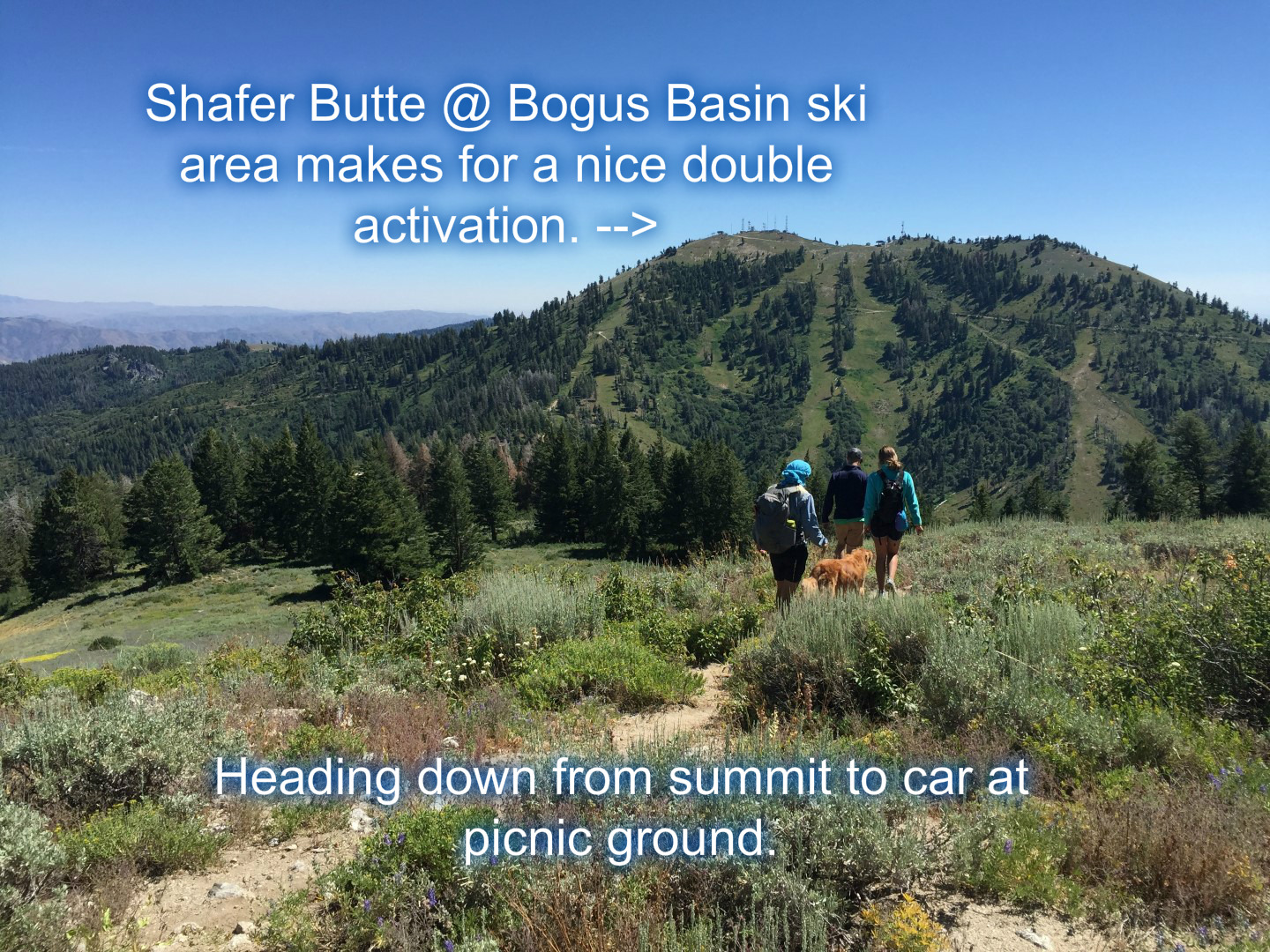
This was my second activation of Mores Mountain. This Mountain makes for a nice double with Shafer Butte. See our (w/K7ZO) previous trip report for more information. Parking at the forest service picnic ground at the saddle between the two summits makes a nice base camp for restocking or having lunch before/after the activations. Note there is a $5 per car self-pay to drive into the picnic area. Picnic tables and pit toilets along with the central location make the $5 well worth the price of admission. There is also some pay camping available in the area as well.
From the picnic area, find the trailhead sign and trail leading off to the north. If you haven’t been to Mores Mountain before, you should print the trail map on the forest service page. There is a kiosk with some nature/wildflower handouts, but there doesn’t seem to be a map available. You can’t get lost on the trails, but nice to have a map to follow to know where you are. See the forest service map on how to get up to the trailhead. From Boise the Bogus Basin road is a paved 16 miles. Then you will have a couple miles of dirt roads that are passable by most passenger cars.
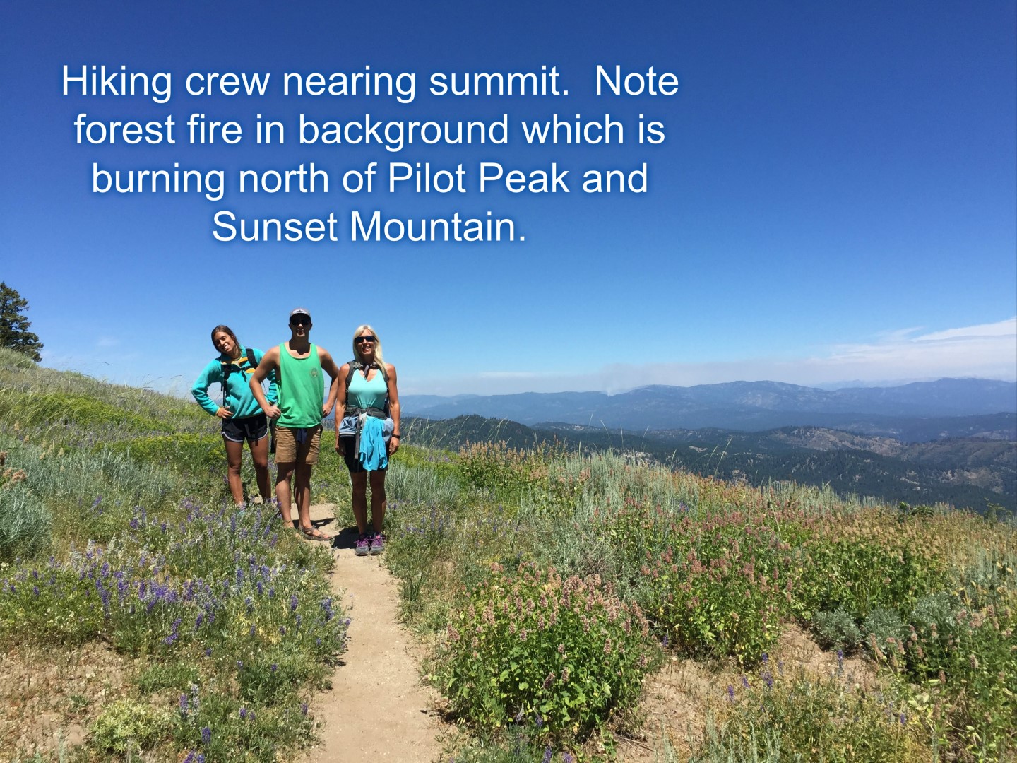
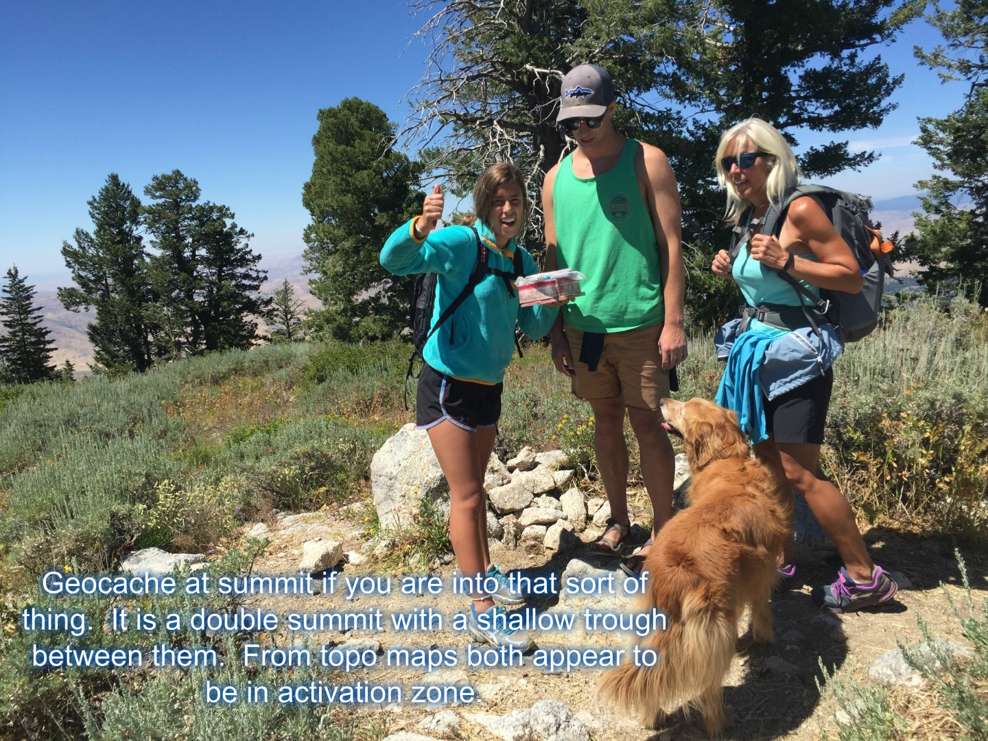
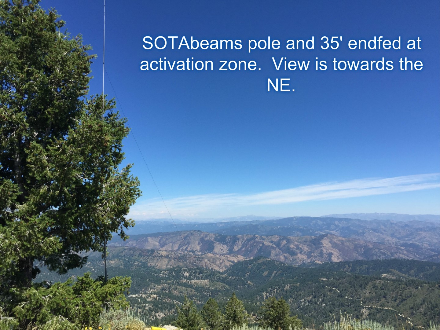
On this trip we first rock climbed at the Mores Mountain – Roadside Rock climbing area which is a mile or so farther up the road. We then drove back to the picnic area for lunch and did the short hike up to the activation zone. Another great CW activation and a few SSB contacts as well. AT&T service is workable at the summit as long as you have a view down into the Boise valley. Verizon coverage should be solid up there. APRS should be okay to snowbank or cinnabar. Sadly the Shafer Butte digi-peater is still off the air.