Hawley Mountain is the second peak along the FS374 ridgeline north of the Harris Creek Summit. Harris Creek Summit (saddle) can be reached from Harris Creek Rd. which connects Horseshoe Bend and Placerville, Idaho. It is a dirt road in good condition.
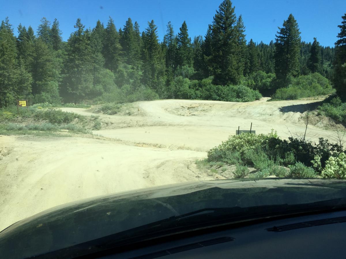
From Harris Creek summit, FS374 is a resonably good single track road. SUV or other high clearance vehicle recommmended, but I did see a sedan parked at the base of Peak 7057! Minor rocks and ruts along the road so should be passable by most cars/trucks depending on your level of scraping desired.
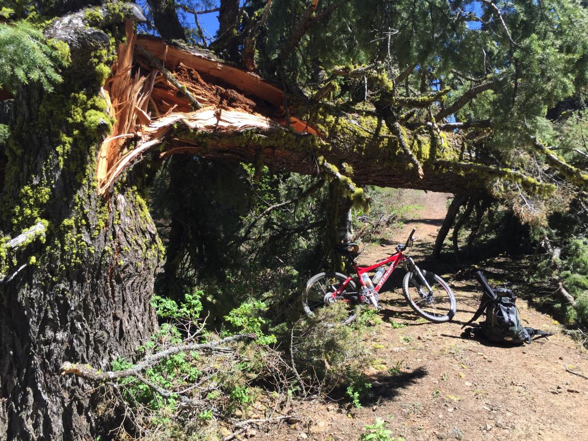
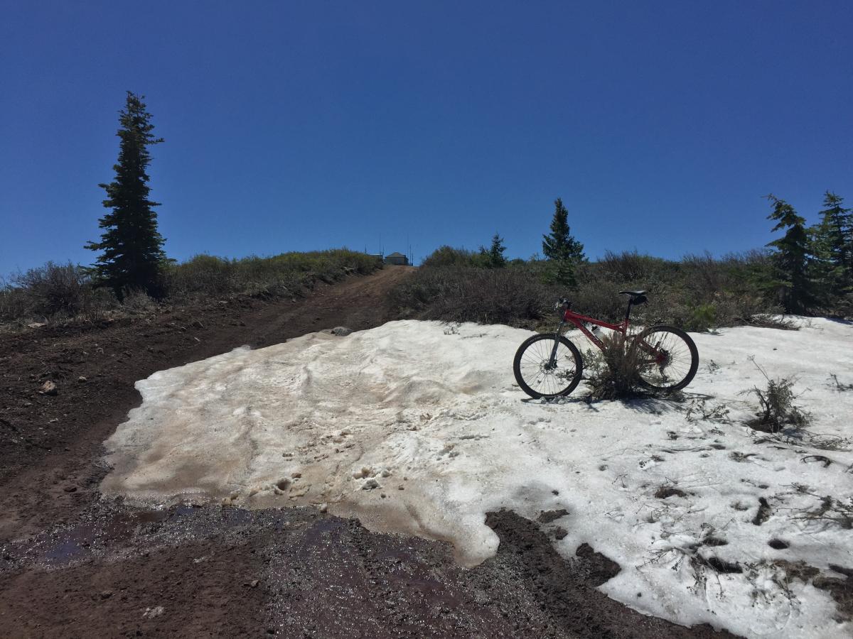
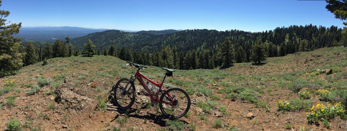
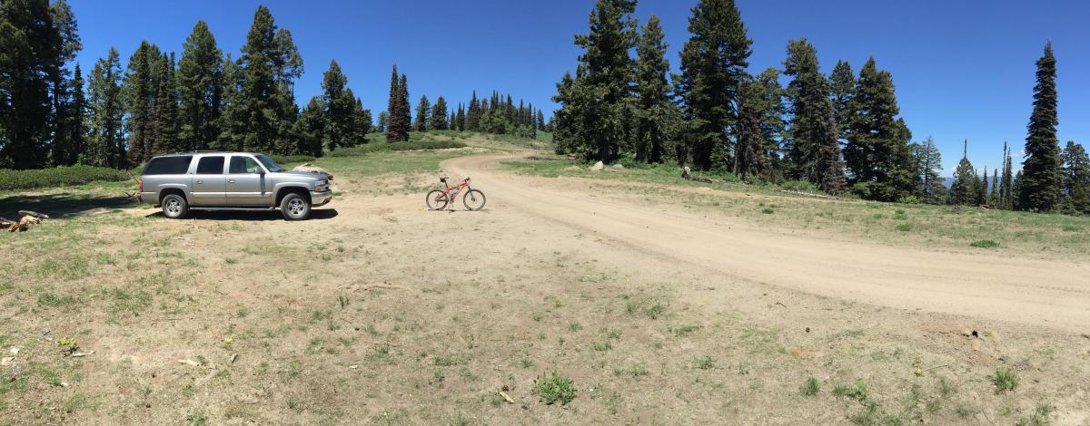
Past the base of 7057 it is relatively flat on the way out to Hawley Mountain and lookout. I intended on mountain biking from 7057 out to Hawley, but was running low on time. So I drove to within 2 miles of the summit. I got on my bike at this point which was a good idea as there are 2 large downed trees across the road about a mile from the summit. It appears that 4 wheelers have made a route around the trees, but definitely not passable by vehicles. The bike ride was great, although the last 1/4-1/2 mile gets pretty steep and rocky. So kind of tough with SOTA gear in the backpack. A remaining snow drift blocked the road just before the summit.
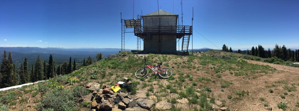
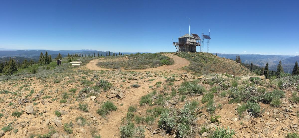
On the summit there is a fire lookout tower. Not sure if it is active during the summer, but was closed up when I was in there. A bunch of solar panels and a myriad of antennas adorn the lookout. I attached my sota pole off the upper deck of the lookout and operated from down below. I didn't detect any QRN from the antennas. The APRS digipeater at Shafer Butte is still offline, so you would need to make it up to SNOBNK or dn to CNABAR. My 25W mobile APRS was making contact no problem. APRS with handheld "should" be okay, but it is about a 50+ mile trip.
Great views of the surrounding mountains as well as the ridge line back to Bogus Basin (Shafer Butte). Check out the W7IMC report on this summit as you could link up Mores Mtn, Shafer Butter, 7057 and Hawley Mtn especially if you were swift on the dirt with a motorcycle or RZR.
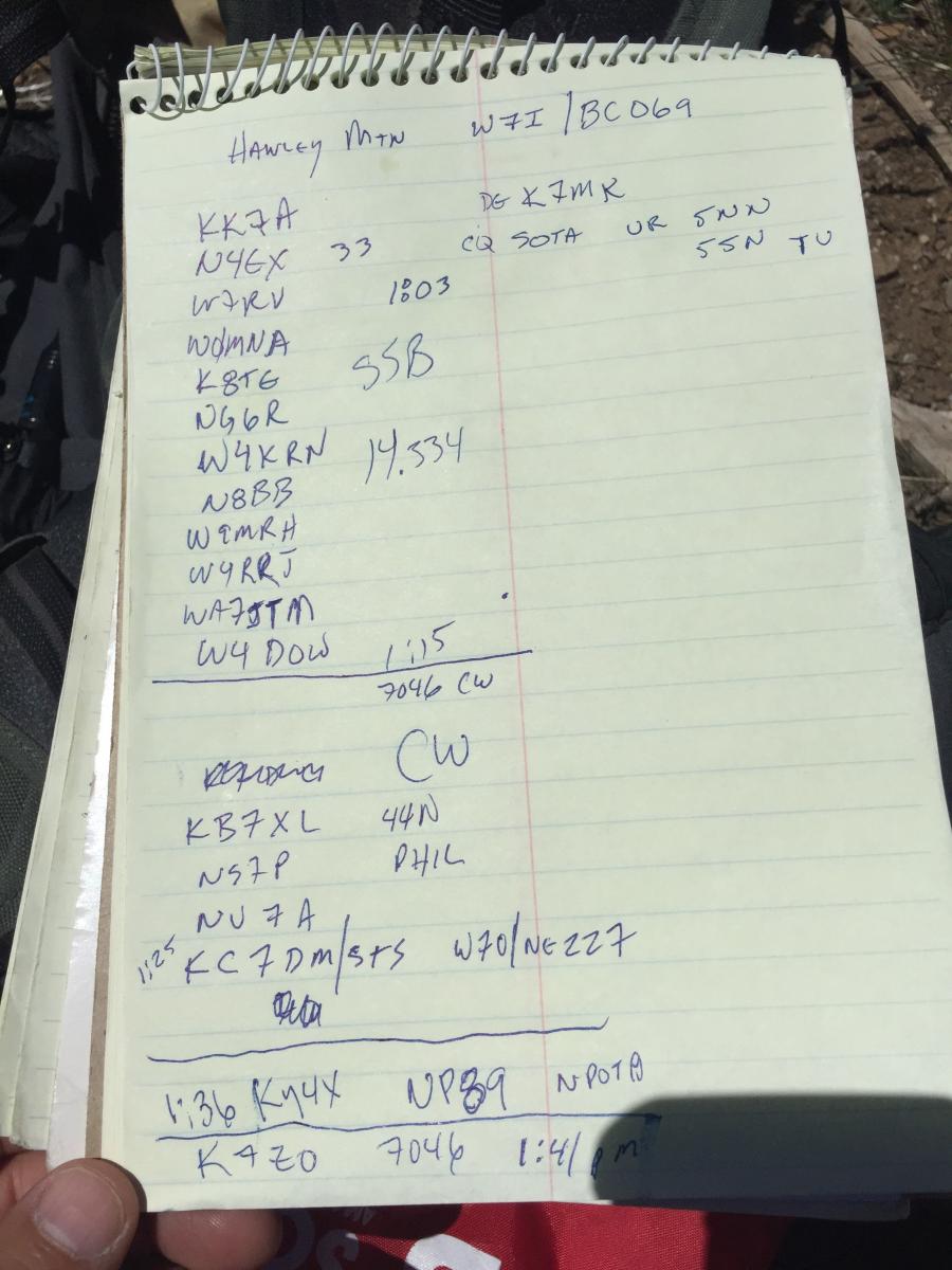
Q's were on 20M SSB and 40M CW. This was my 3rd CW activation since getting back into CW. Getting better at it. Lots of fun from the summit!
Strava Map here: https://www.strava.com/activities/599820845
More pictures here: https://goo.gl/photos/KNMZfPpUEV13pW9G8