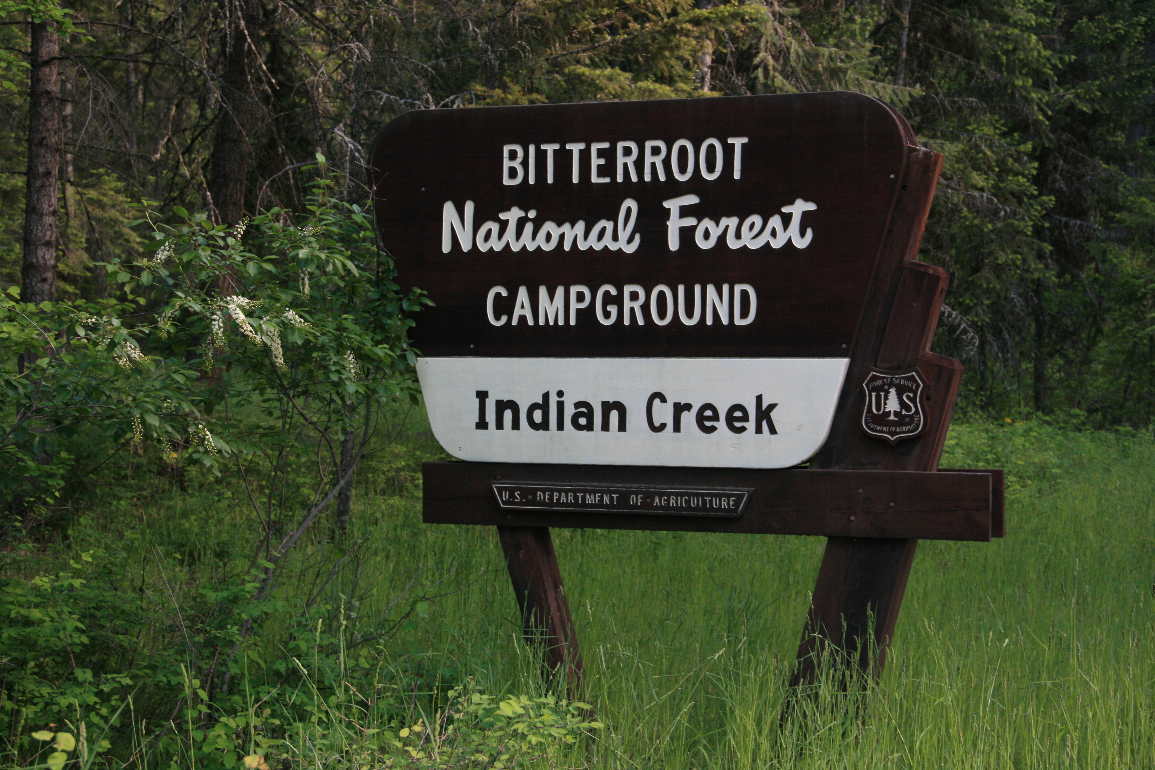
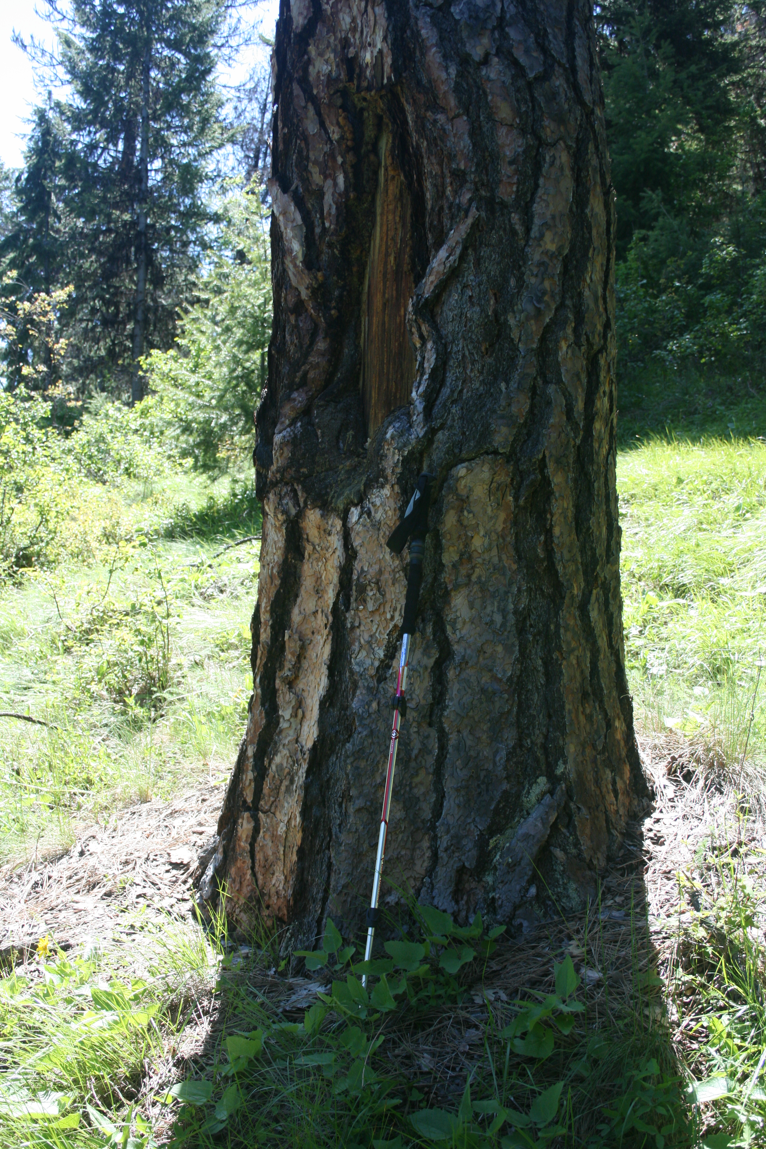
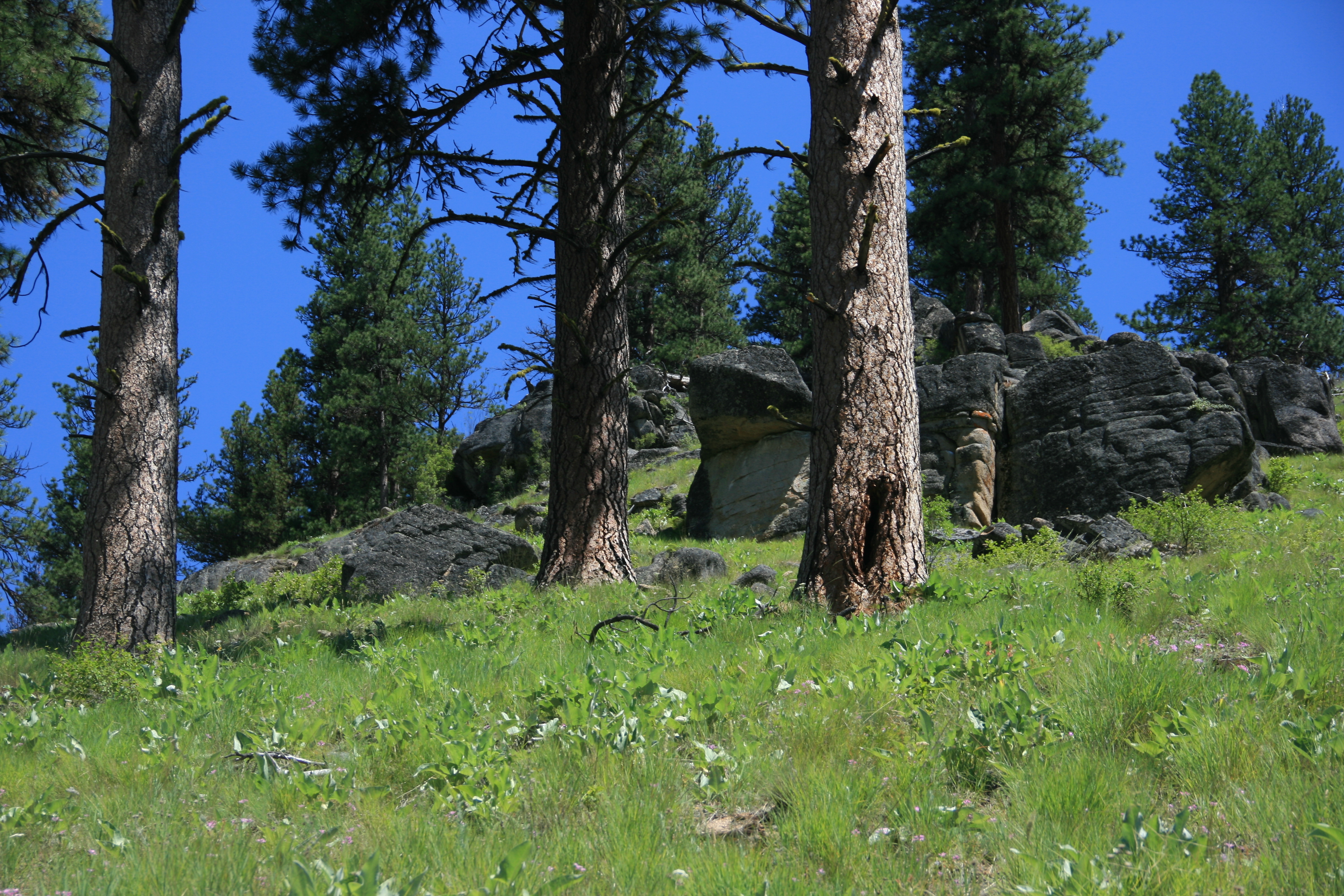
Indian Ridge is accessed by trail beginning on the Selway River near Indian Creek Campground. This US Forest Service primitive campground is famous from the humous outdoor book INDIAN CREEK CHRONICLES where the author, college student Pete Fromm spent a winter watching over an Idaho Fish and Game artificial salmon rearing channel. The well- marked summit trail climbs through towering centuries-old ponderosa pine open-forest and some recent fire snag forests. Many of the oldest ponderosa pine have large rectangles of missing bark on their boles where the historic Nez Perce people peeled back the bark centuries ago to remove the underlayer of sweet cambium, the growing part of a tree (see photo below). Peoples footprints have been on this area for thousands of years.
Trail Miles: approximately 6.5 round trip
Total elevation gain: nearly 2700’
Water: A dry ridge hike the entire distance
Map: Bitterroot National Forest, south map
The well-marked trail begins just north of the bridge on Indian Creek at 3370’. It rises steeply switchbacking to 5800’ before becoming a rolling trail reaching Indian Ridge at 6031’.
This is wild country overlooking the largest wilderness complex in the lower 48, the Selway Bitterroot and Frank Church River of No Return Wilderness areas. Only one road accesses this area, the Magruder Corridor. The route is very scenic with steep mountain slopes, fire adapted forest, steep canyon walls, a very noisy river full of large boulders and ragging rapids and a narrow mostly single lane road. Much of the area has burned in the last few decades leaving a very diverse forest of very large trees to dense young trees to open park and grassland.
Large mammals seen during trips in this area include bighorn sheep, mountain goat, elk, black bear and deer. Rarely seen but present are wolves, mountain lion and coyote.
Directions: South of Darby, MT leave highway #93 and travel up the West Fork Bitterroot Road for approximately 14 miles. Turn right, west onto the Nez Perce Fork road. Continue up that road for approximately 16 miles to Nez Perce Pass. Continue over this paved pass traveling down the Magruder Corridor along Deep Creek approximately 16 miles to the Selway River. Here a quarter mile side trip up the Selway River ends at the historic Magruder Ranger Station. But continuing downstream the road follows the narrow canyon of the Selway River to Magruder Crossing. Here stay to the right and do not cross the river but instead continue down river approximately 5 miles to Indian Creek Campground. The trailhead is just beyond the campground across Indian Creek bridge. It is well signed. Another 5 miles beyond the campground is the end of the road, a popular river float launch, campground and outfitter horse camps.