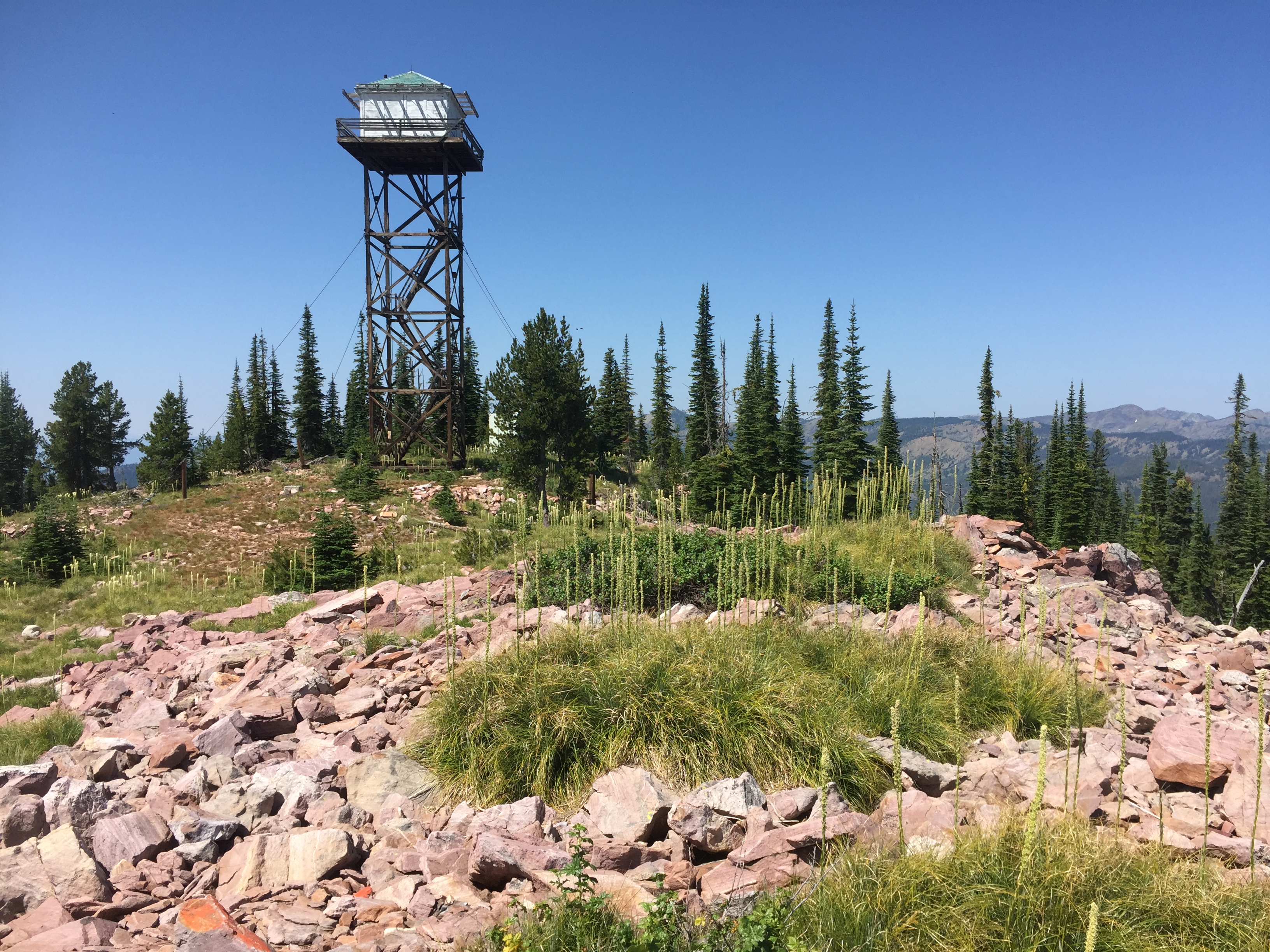
Mineral Peak is an inactive US Forest Service Lookout and active Communication site. It sits near the boundary of the Rattlesnake Wilderness and Rattlesnake National Recreation areas. Summits views are good of the Rattlesnake mountains and a couple of distant cirque lakes. Access is via trail up the Rattlesnake Corridor, approximately 16.5 miles or via a poorly maintained high clearance rough road approximately 5 miles off the East Fork Rattlesnake and Gold Creek Roads.I parked and hiked the rough road. An alternative is the Rattlesnake corridor route where one can mountain bike the first 12 miles to the Franklin Bridge along a smooth creek grade ‘closed-to-motor-vehicles’ road. Then hike the steep East Fork Rattlesnake trail #514 approximately 4.5 miles to the lookout.
Distance: Very rough road miles = 5 one way or Trail miles = 12 mountain bike, 4.5 hike one way
Elevation gain: Non-maintained road = 1300’ East Fork Rattlesnake trail = 3100’
Water: available along the Rattlesnake corridor and lower East Fork trail route, but none along the road route.
Map: Rattlesnake Wilderness and Missoula, 1:40,000 scale http://cairncarto.com/.
The summit has scattered trees and much open area with lots of large loose rock. Within the activation zone are scattered alpine larch that grow only at this elevation and higher in this area. Subalpine fir and some scattered Douglas-fir, whitebark and lodgepole pine, and spruce make up the remaining trees. Pica, chipmunk and golden mantle ground squirrels scurry about during the summer. A dusky grouse strutted near my operating position appearing to question why I was there.
There are great places to operate with ample trees for hanging antennas or open area. No RFI existed on the HF bands, 80-17. Two meters is an easy shot to Missoula & the Bitterroot Valley.
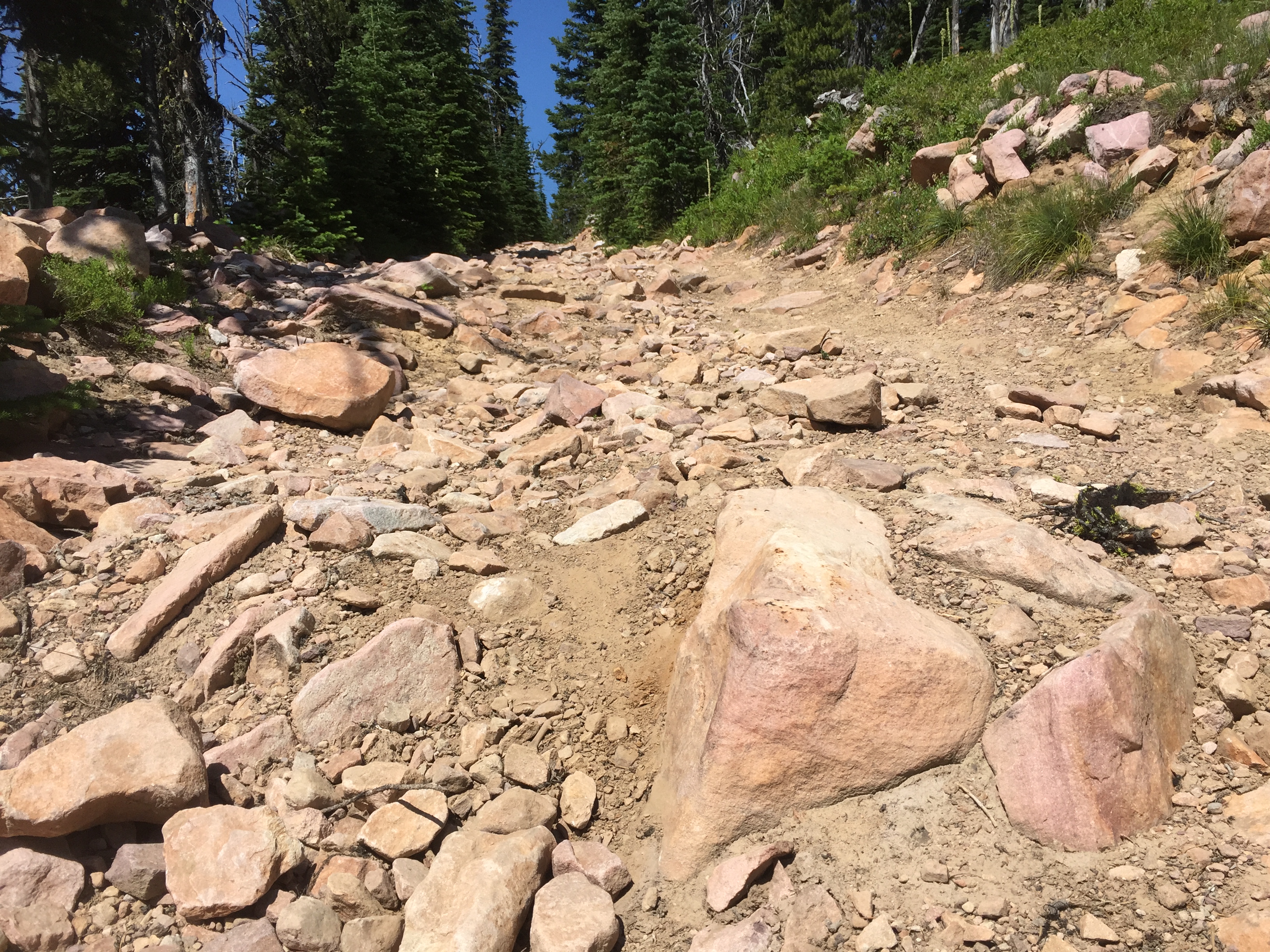
Non-maintained road Road Caution: Several sections of the road have several hundreds of feet without any pullouts so meeting another vehicle in some of these locations means the uphill vehicle will have to do a considerable amount of backing up.