It’s an experience traveling the Magruder Corridor road, part of a 100-mile narrow road. According to the US Forest Service brochure, the road constructed by the CCCs in 1930s has changed little over the decades. It shows, and the narrow rocky in places road is used heavily by snowmobiles in winter and 4-wheelers in summer. There are no services available along this route or the adjoining roads for 130 miles. The portion of the Magruder Corridor road approaching Burnt Knob from the east is narrow, but it is very scenic and at high elevation. Much of it is over 7500’ high for northcentral Idaho roads.
Rocky road Miles: 1.5 to the summit lookout
Elevation gain: about 900’ on the rocky road
Water: None
Map: Bitterroot National Forest South End and Nez Perce National Forest
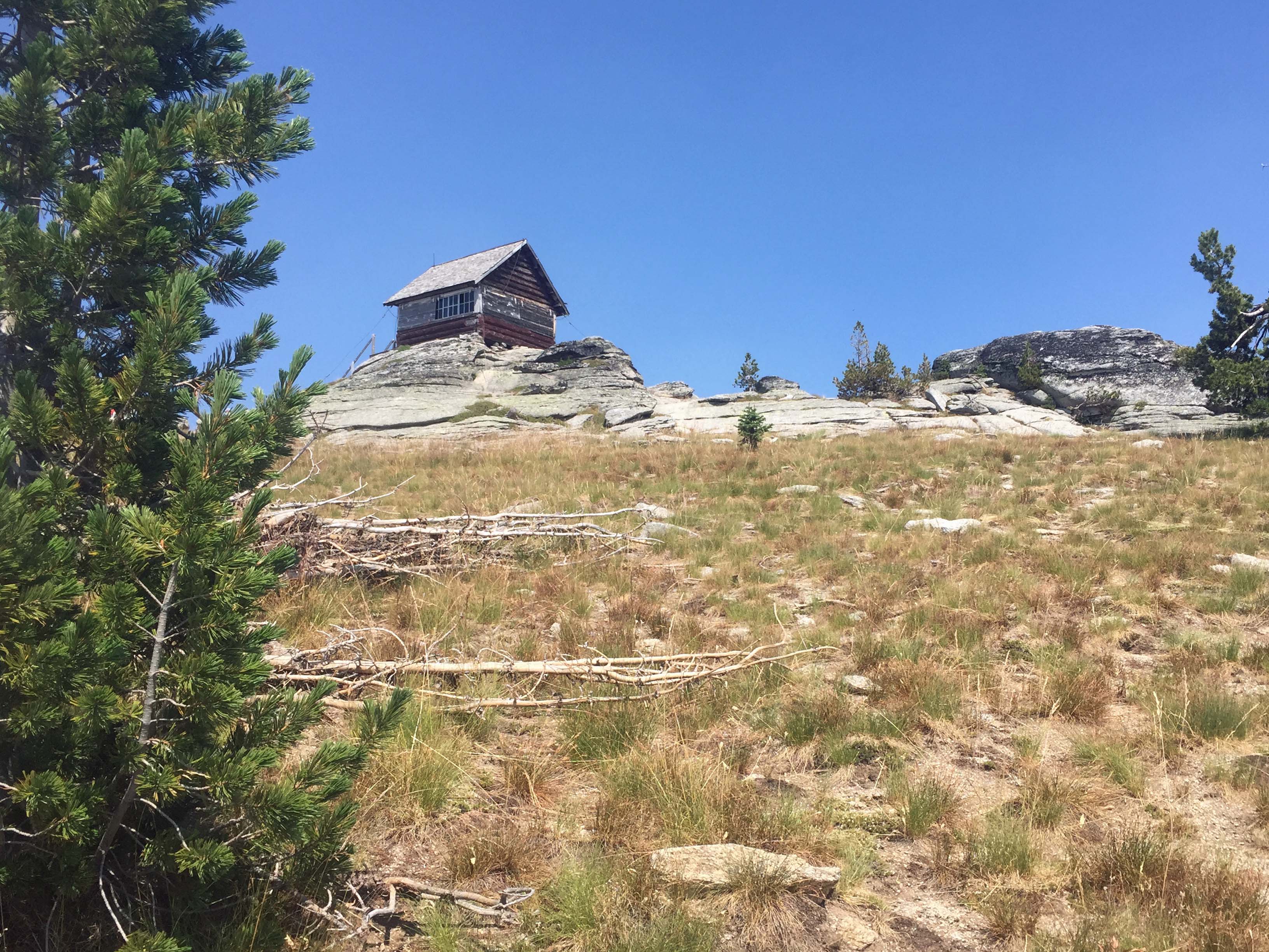
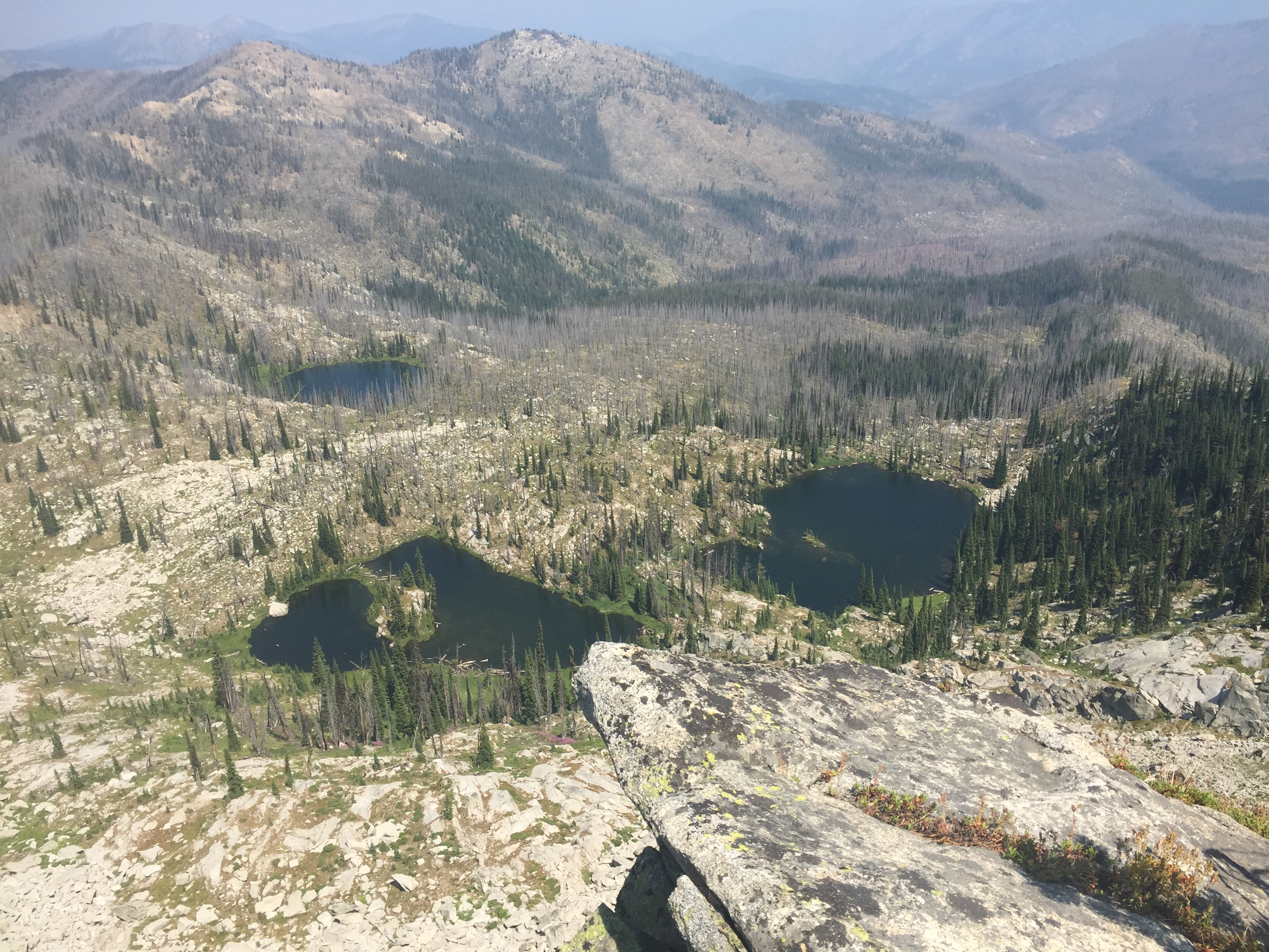
The lookout access road off the Magruder Corridor is full of boulders. The sign says “ROUGH STEEP ROAD, Maintained for 4X4 Vehicles Only” and boy is that true! It looks good at the beginning and then turns into ‘creators of the moon’ with only one ‘turn-around’ about half way up. When you reach the summit, the view is great. You’ll be overlooking the Selway Bitterroot and Frank Church River of No Return Wilderness Areas. The old Lookout is picturesque, but dilapidated. There are trees and ample open space to set up long wire antennas or verticals.
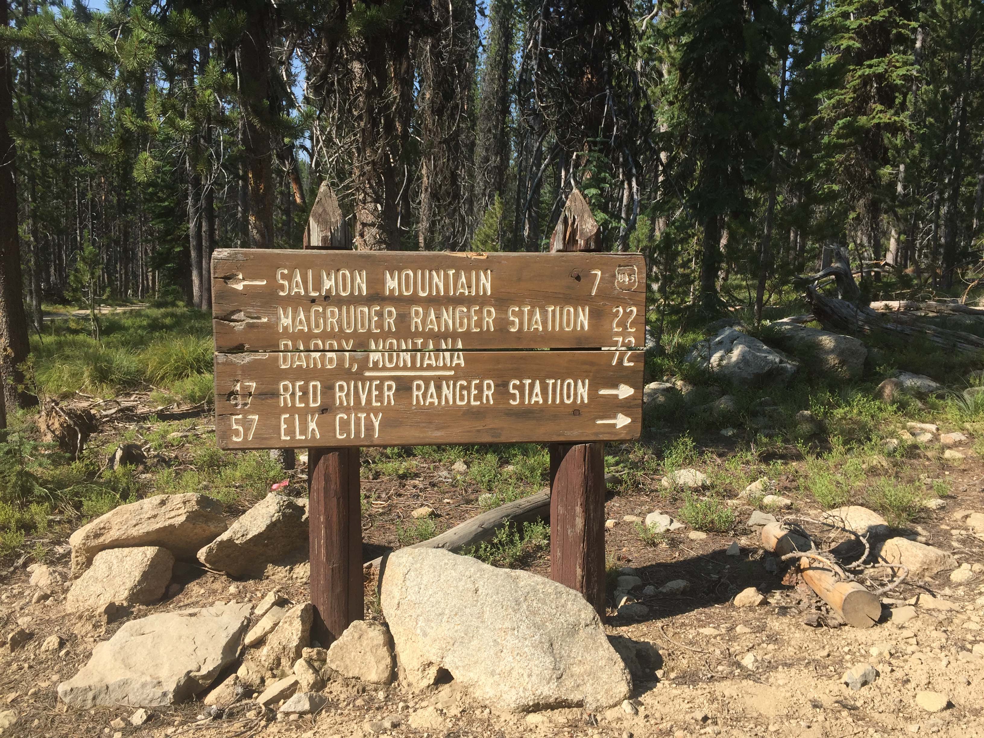
Directions: South of Darby, MT leave highway #93 and travel up the West Fork Bitterroot Road for approximately 14 miles. Turn right, west onto the Nez Perce Fork road. Continue up that road for approximately 16 miles to Nez Perce Pass. Continue over this paved pass traveling down the Magruder Corridor along Deep Creek approximately 16 miles to the Selway River. Here a quarter mile side trip up the Selway River ends at the historic Magruder Ranger Station. But continuing downstream the road follows the narrow canyon of the Selway River to Magruder Crossing. Cross the river bridge and continue up the climbing road for approximately 11 miles. Here there are great view points to the east and a dispersed camping area named Observation Point. The Salmon Mountain trailhead is just short of 3 miles up the road. It is well signed. From there, travel approximately 15.5 miles to the Burnt Knob road intersection.