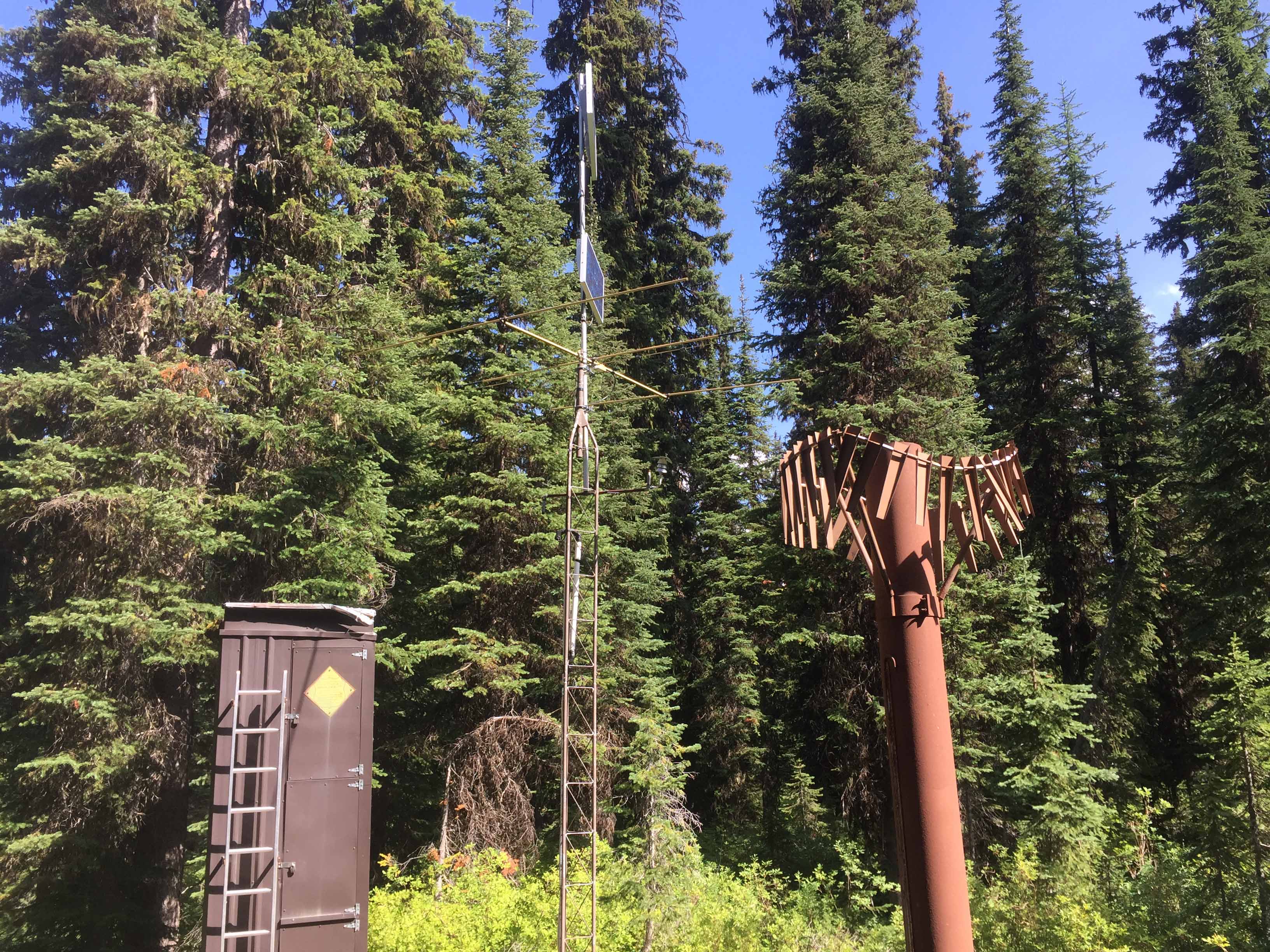
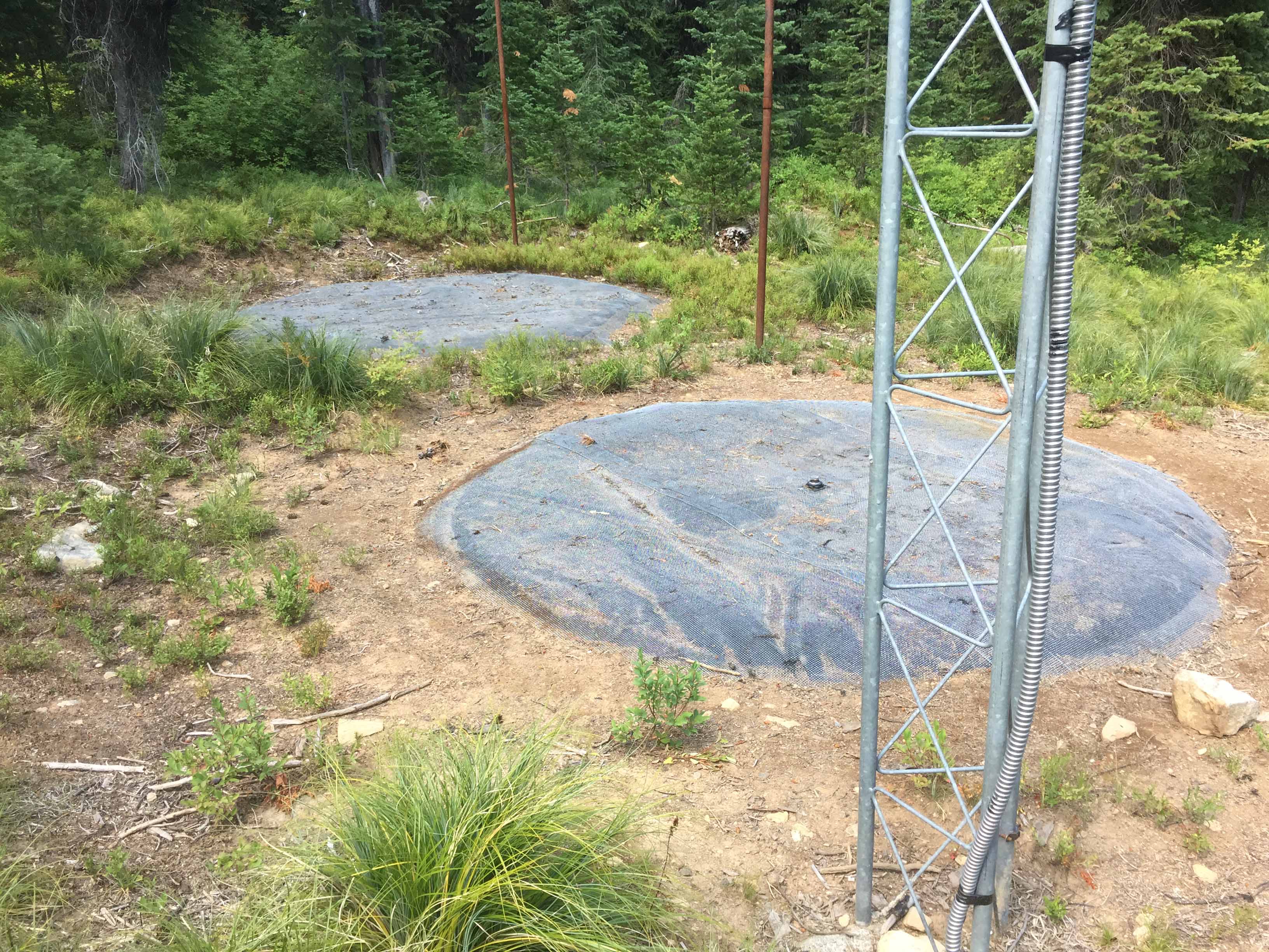
A gentle pitch trail terminates at Savage Ridge. Of interest to hams might be the Natural Resources and Conservation Service Snotel Site near the trail head. This is snow water content and weather measuring station is complete with snow pillows and a 40-50Mhz meteor burst telemetry station/antenna.
The radio relays the data to master stations probably in Boise Idaho or Ogden Utah on a daily basis.
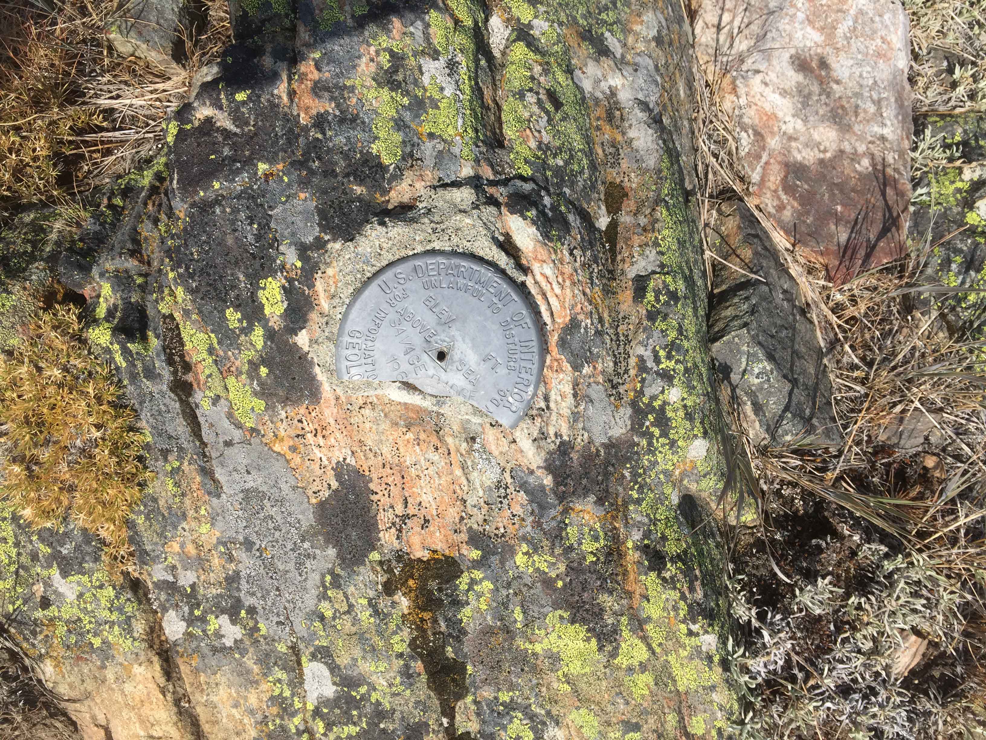
The summit supported an old Forest Service lookout until it was destroyed in 1972, typical of many summits having removed lookout structures. Scattered rusty metal, broken glass and wire are remaining evidence. The survey monument for the summit appears to have been partly pried as part of it is missing.
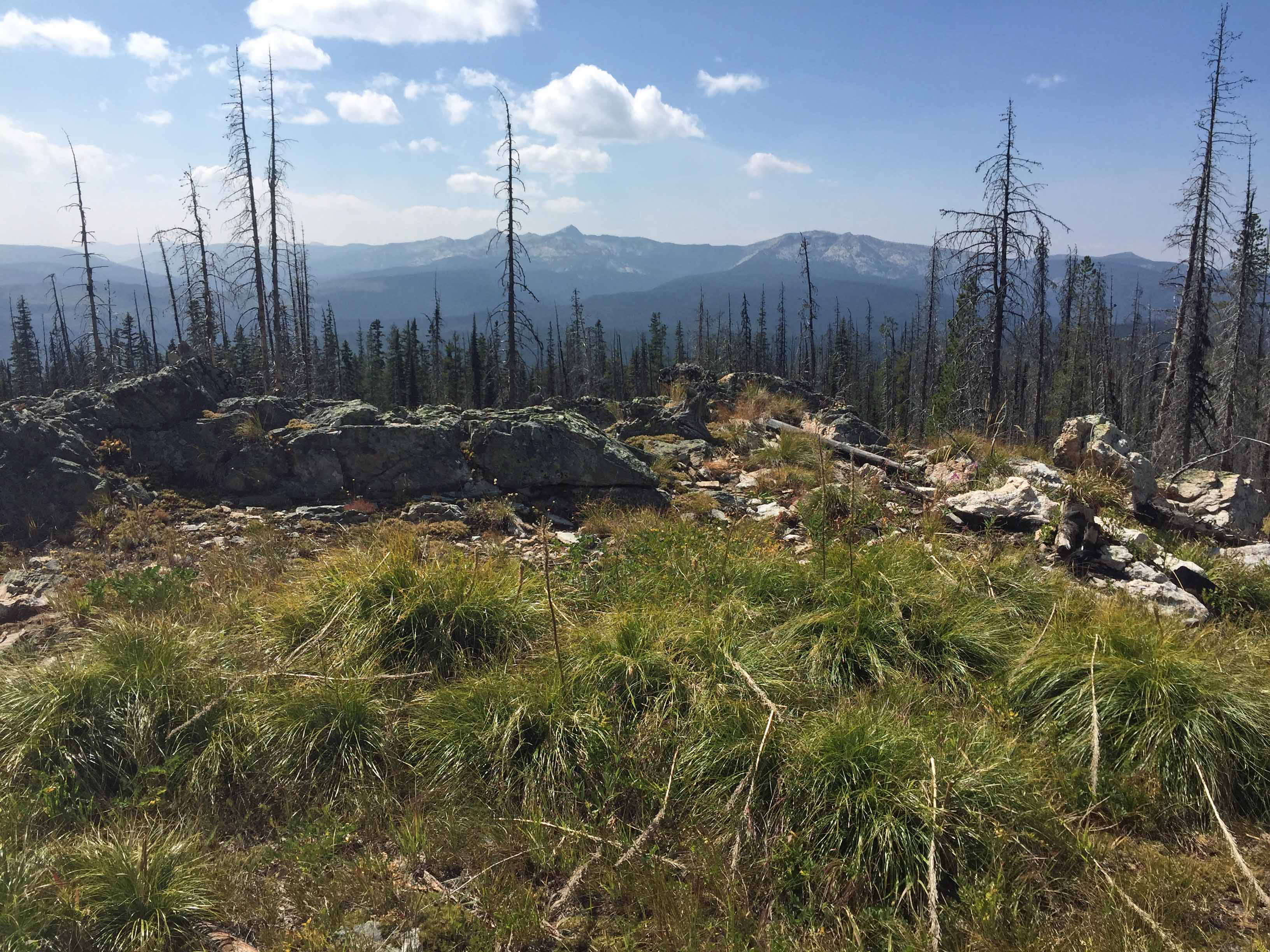
There are some trees or rocks and room to support SOTA antennas. Good views of other summits are nearly 360 degrees.
Elevation gain: 800’
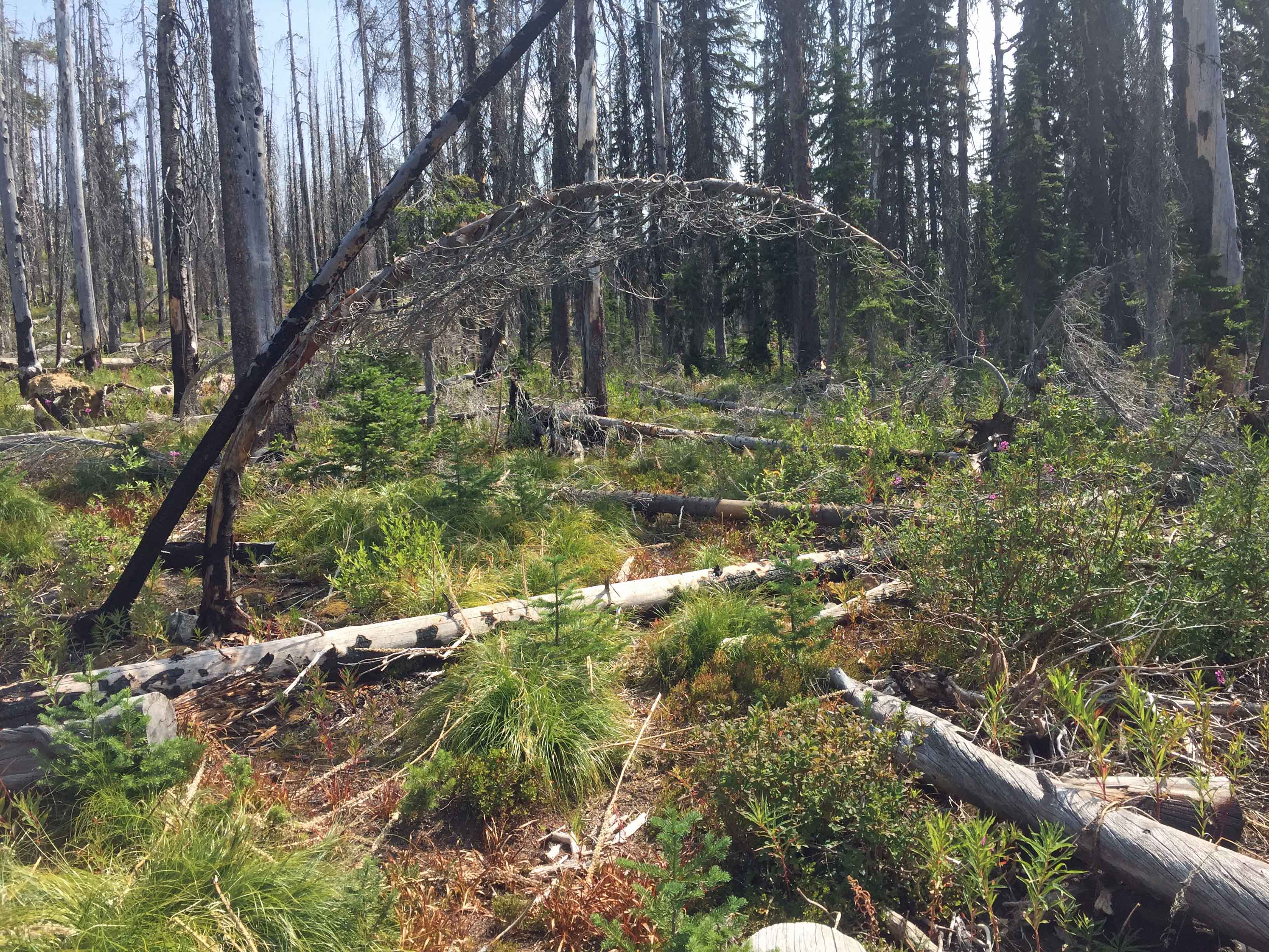
Trail Miles: 5 round trip. The last 1/3 of a mile is through an old forest fire. Forest reqrowth and downfall require a sharp eye to keep on the trail.
Water: None. The trail hike and summit are dry.
Bear Pepper Spray: Highly recommended in all Northern Idaho and Montana summits
Map: Powell Ranger District, Clearwater National Forest
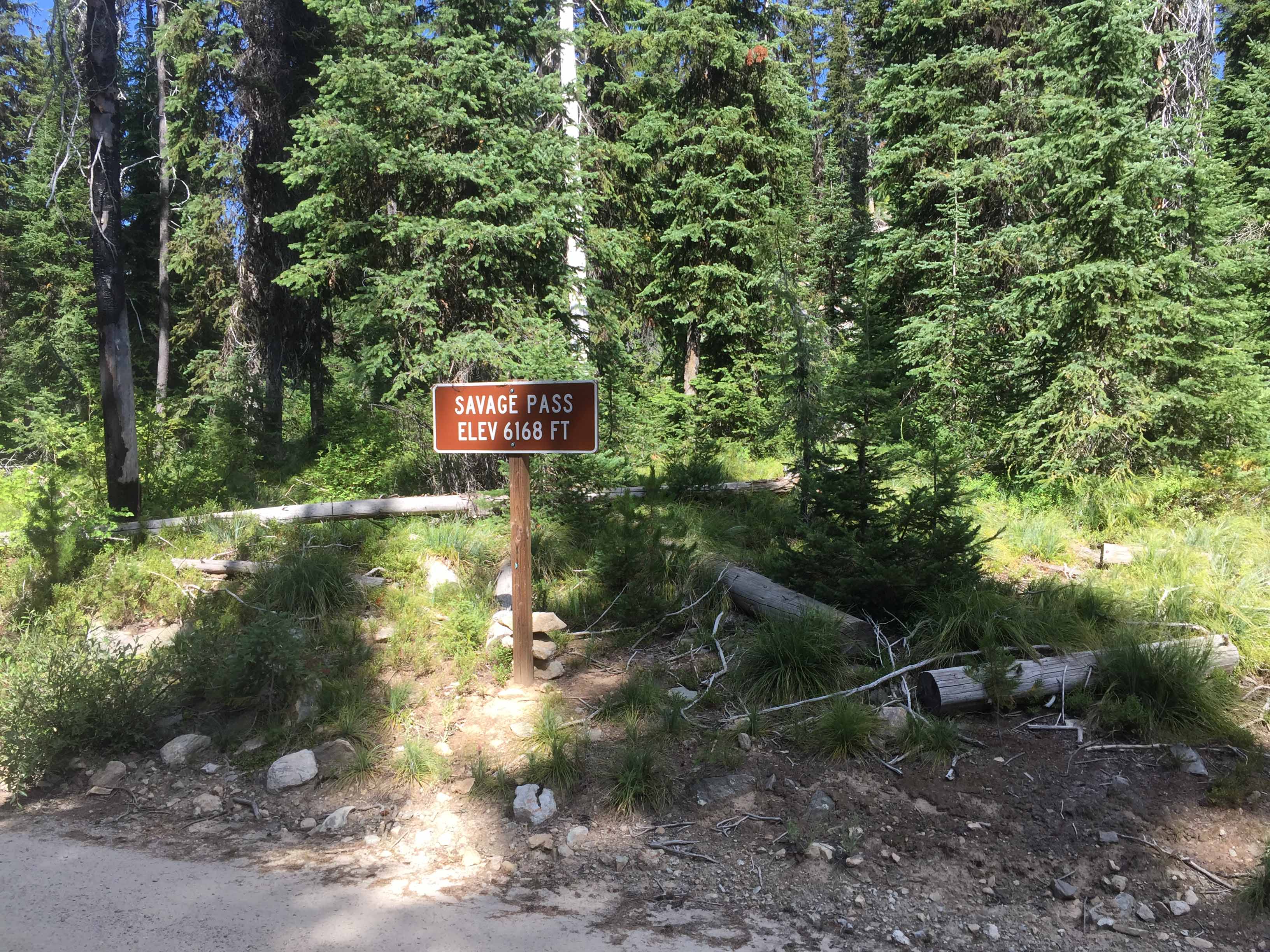
Directions: Leaving Highway 12 near Powell Junction take the White Sands Road #111 for 6 miles. This is a well maintained double lane gravel road. Then proceed up FS road #360 for to 3 miles to Salvage Pass. This road is much narrower with limited pullouts. It is passable with a passenger car, but be alert to avoid rocks and potholes. The trailhead has a good parking spot.