You are entering bighorn sheep range in this summit’s area. Two trail options are available. Both are great trail hikes all the way to the summit. The dry environment of this area makes it a good early Spring or late Fall season hike. Wind can be challenging on the upper grassland ridges and summit, but there are groups of trees to shelter behind.
There are two main trail routes to the summit. The difference is less mileage and greater elevation gain from the north or more mileage and less elevation gain from the south. See Directions description below.
A third option for those with quads or a small jeep type vehicle is the Graves Range 4WD track #17806 originating from Woodman Saddle west of Blue Mountain near Missoula. This route is approximately 14 miles of 4WD track and 2 miles of hiking trail.
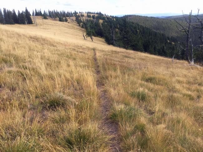
Access trails from the trailheads are steady climbs. From the north, the trail climbs steadily crossing many open grassy slopes. From the south the trail follows an old road for a couple of miles and is entirely forested for the first five miles when it breaks out into a mostly grassland ridge for the next 1.5 miles to the summit.
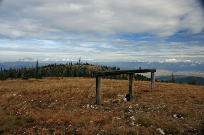
Nearby trees for antennas are available or a pole can be tied to smaller trees or the hitching rail.
As a US Forest Service lookout site established in the early 1920’s, Petty served until the 1933 improved structure was destroyed in 1963. Concrete base structure, some ground wire, glass and rotting wood are the only remaining visible evidence. An old looking-still standing horse hitching rail may be part of the old facility.
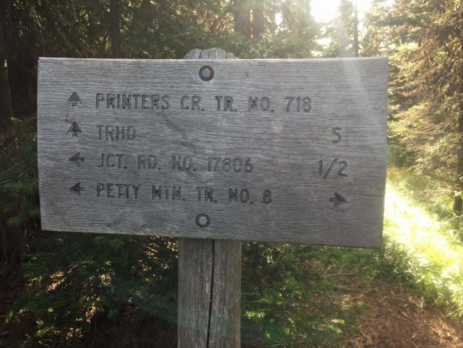
Elevation gain: 3900’ from the north Petty Pasture Trail #733. 2800’ from south Printers Creek Trail #718.
Trail Miles Round Trip: Petty Pasture 10.25 miles. Printer Creek Trail, 13 miles.
Water: The only water along a trail is Printers Creek, 0.5 miles beyond the trail head along an old road. None exists along the other trails.
Bear Pepper Spray: Highly recommended in all Montana summits.
Map: US Forest Service, Lolo National Forest, Ninemile Ranger District
Directions: Both trailheads are access from the Petty Creek Road #489. This road can be accessed from I-90 from the north or Highway 12 from the south. The Petty Pasture Trail #733 is accessed from FS road #16647. The Printers Creek Trail #718 is accessed from FS road #5553. Travel this road approximately 3 miles to the trailhead. Some maps show the Printers Creek Trailhead at the last road switchback. That is for stock trailers. Hikers can drive nearly another mile before their actual trailhead. Both trails intersect FS trail #8 to the summit.


