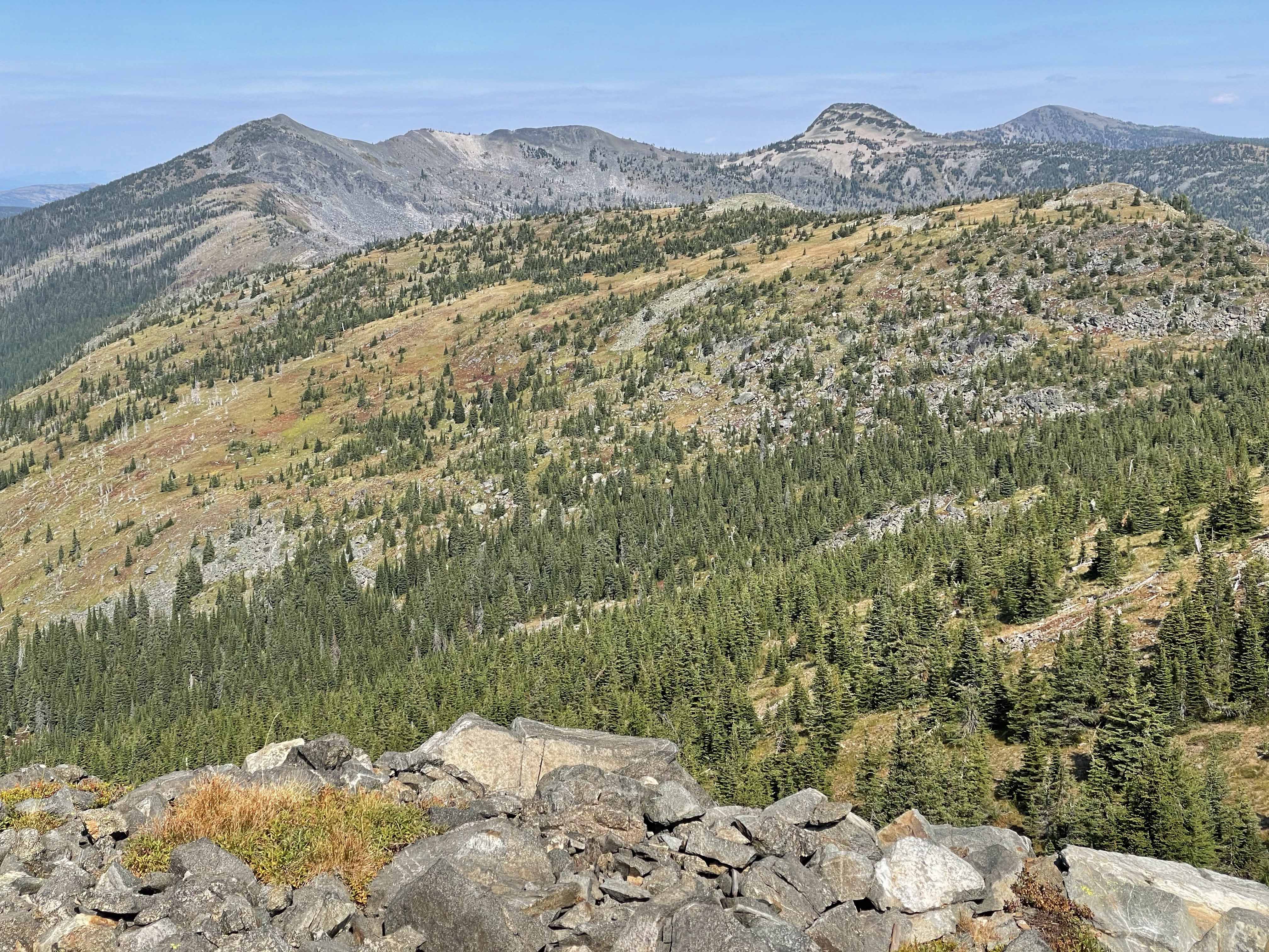
Rock Candy Mountain is an old US Forest Service Lookout site. The summit views are great with cliff cirque basins full of chipmunks, golden-mantle squirrels and chirping pikas, and distant high peaks of the Cabinets Mountains to the south, the Selkirk Mountains to the west and into Canada to the North. Part of the summit is trashy with remnant Lookout debris, rusting metal, wire and much broken glass. A concrete footing at the Lookout is dated 1932.
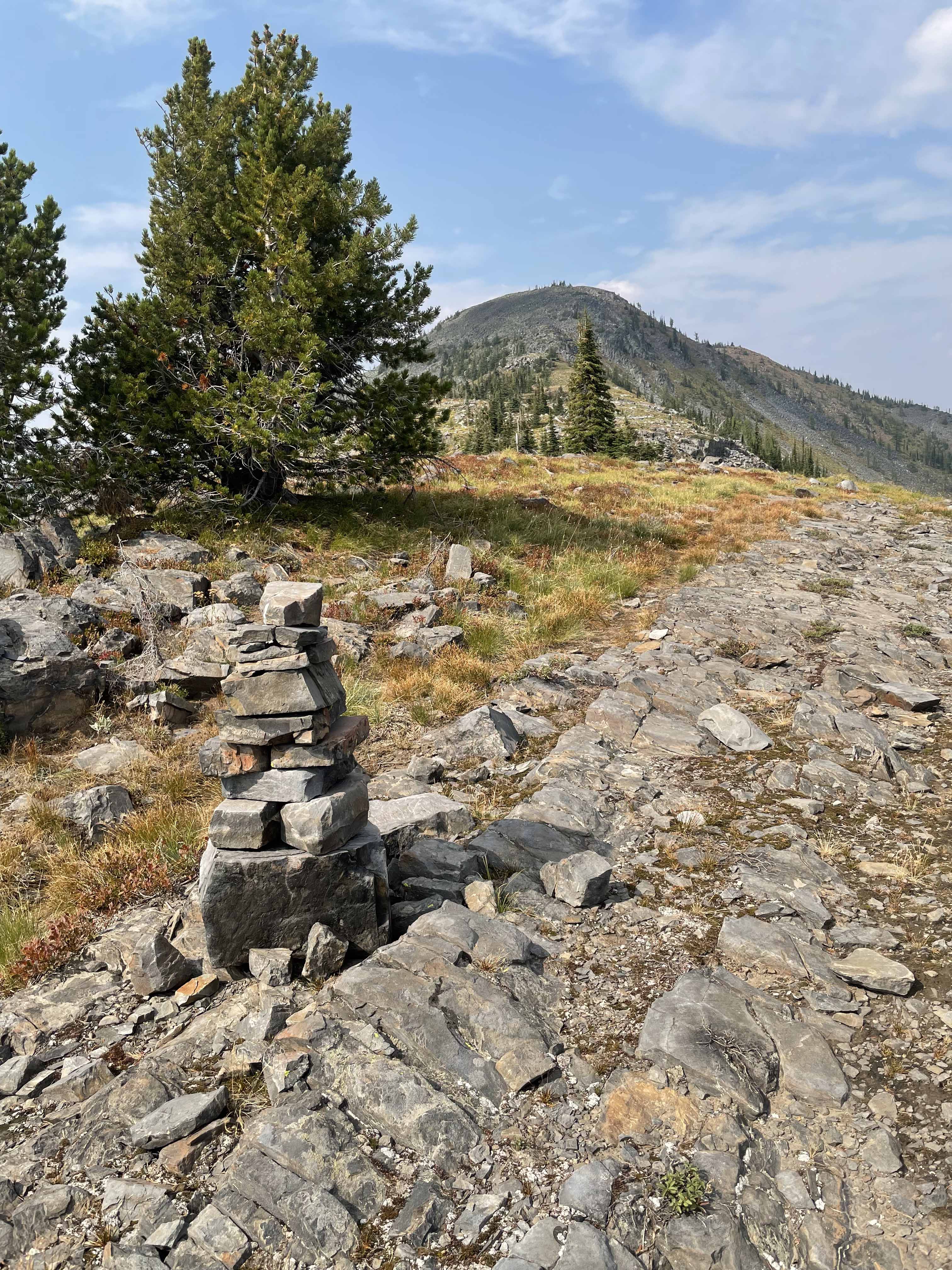
The main trail stays approximately 200 feet elevation below the summit. Along this trail nearing the summit’s southwest side note a stringer of trees going to a saddle between the actual summit, rock scree and a lower false summit to the south. That is your route to the final trail constructed entirely in scree to the summit. There is a very faint trail near and at the saddle. Here turn north and find a trail through the rock scree that leads to the summit. This trail can be seen from many places along the main trail approach.
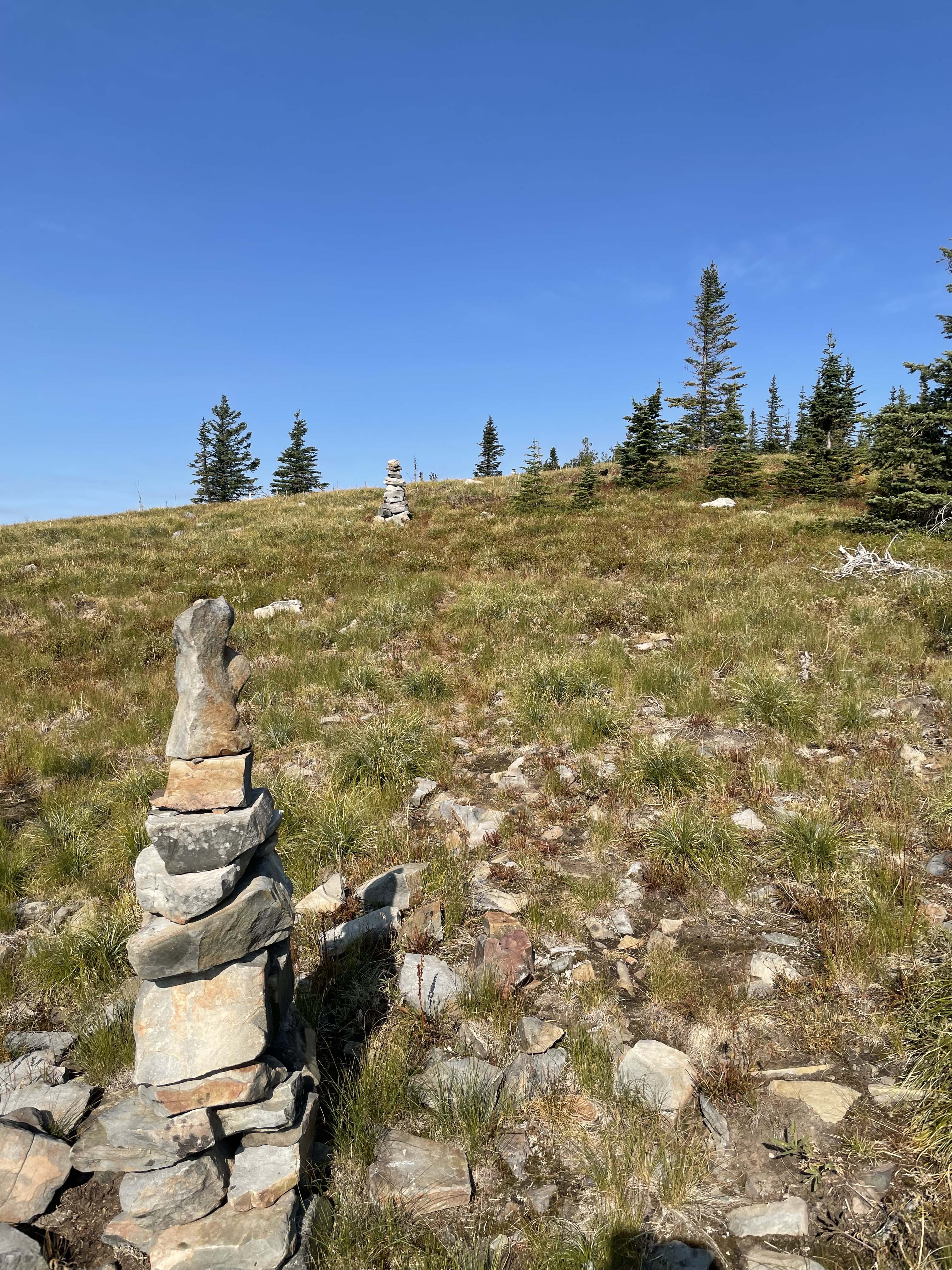
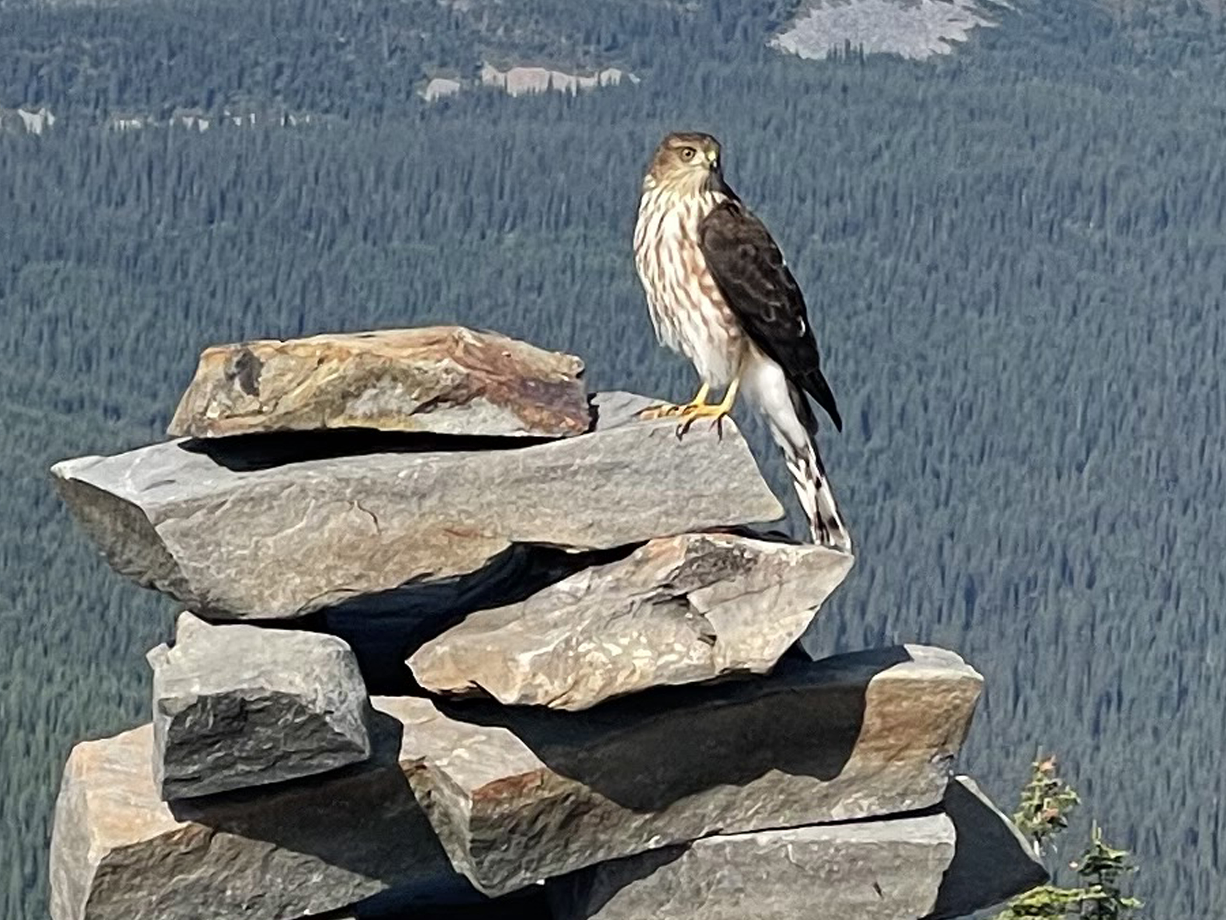
During my visit many migrating accipiters, falcons, harriers and hawks soared along the summit and ridge. A Cooper’s hawk landed while I was photographing a rock cairn. These rock cairns mark the route that otherwise might be a bit difficult to follow the main trail through the upper open grassland, shrubs and rock. Numerous bluebirds and juncos were seen feeding on a huge supply of grasshoppers. Bark stripped western larch from cambium feeding bears was also observed along the trail.
Along highway #508 be sure to stop at Yaak Falls, a cascading waterfall that is picturesque in any season. Another place to visit is Yaak, a small but famous town with a bar called the ‘Dirty Shame’. There is also a restaurant and gas station in the town. During the early cold war days, 1950-1960’s, the Air Force had an early warning radar station just north of the town. One can only imagine how busy this town must have been back then.
Directions: Travel northwest from Troy MT or northeast from Bonners Ferry Idaho on Highway #2. Then north on Highway #508 approximately 22.5 miles to the Spread Creek Road, FS#435. Travel north up #435 approximately 6 miles to the Rock Candy Mtn trailhead, #174. Spread Creek road is a well-maintained logging road.
Trail Miles: 9.5 roundtrip.
Elevation Gain: 3,000’
Water: None after leaving Spread Creek
Bear Spray: Recommended for all Montana summits
Camping: Dispersed camp sites exist along the access roads. Additionally, several Developed Campgrounds exist along Highway #508.
Map: Kootenai National Forest, Three Rivers Ranger District