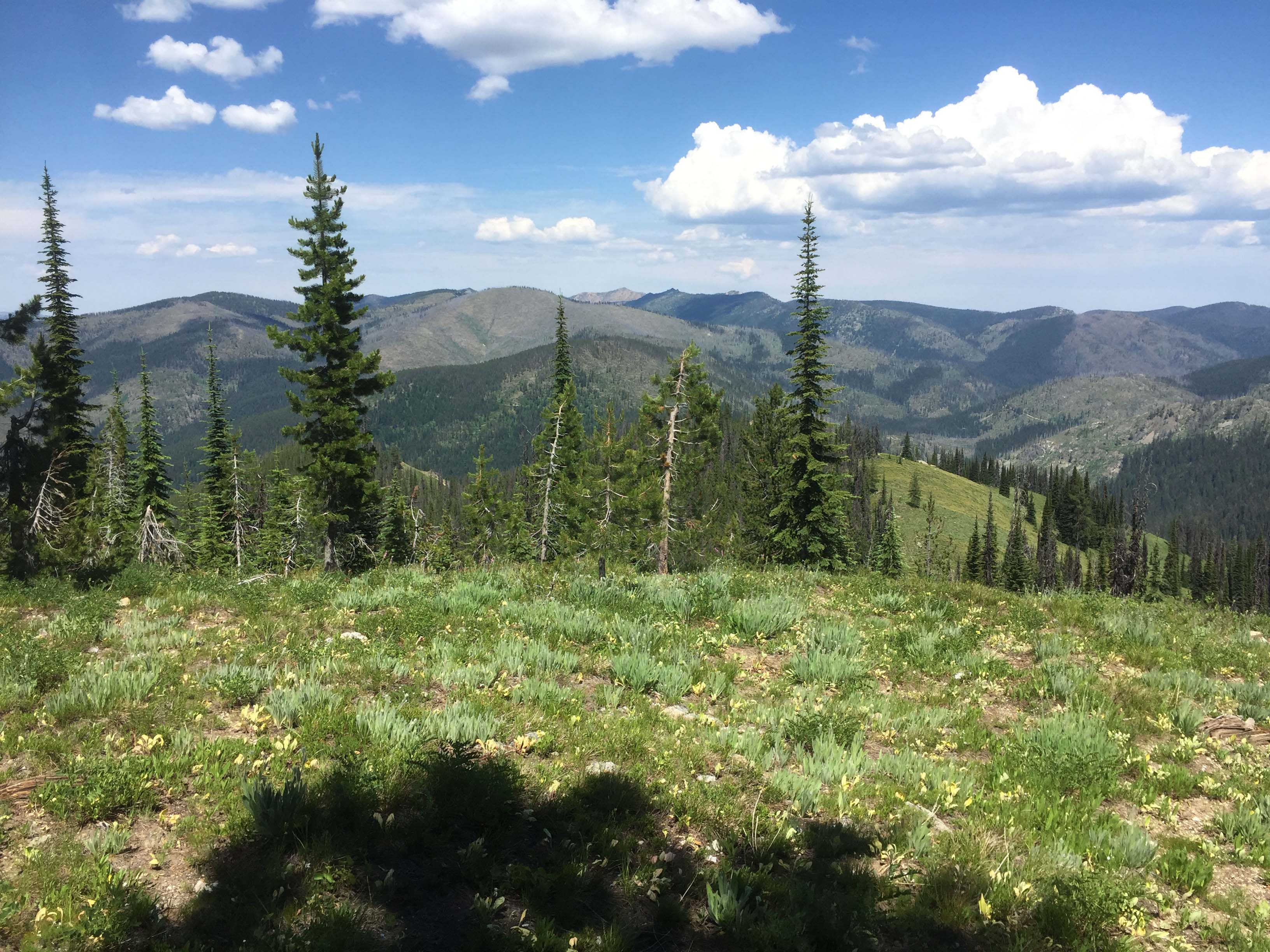
This summit is just off the Lolo Motorway that roughly follows along the Nee Me Poo Trail of the Nez Perce and the Lewis and Clark Trail. The Lolo Motorway, USFS #500 is a narrow mostly ridgetop road built by the Civilian Conservation Corps in the 1930s. It provides access to over a dozen SOTA summits along its route that are mostly a short hike. The road varies in surface and slope with easy travel to steep and rocky sections. Many times there is little area to pass another full-size vehicle. It is also commonly traveled by ATVs and motorcycles. The road overlooks backcountry of the Clearwater National Forest. A high-clearance vehicle is recommended.
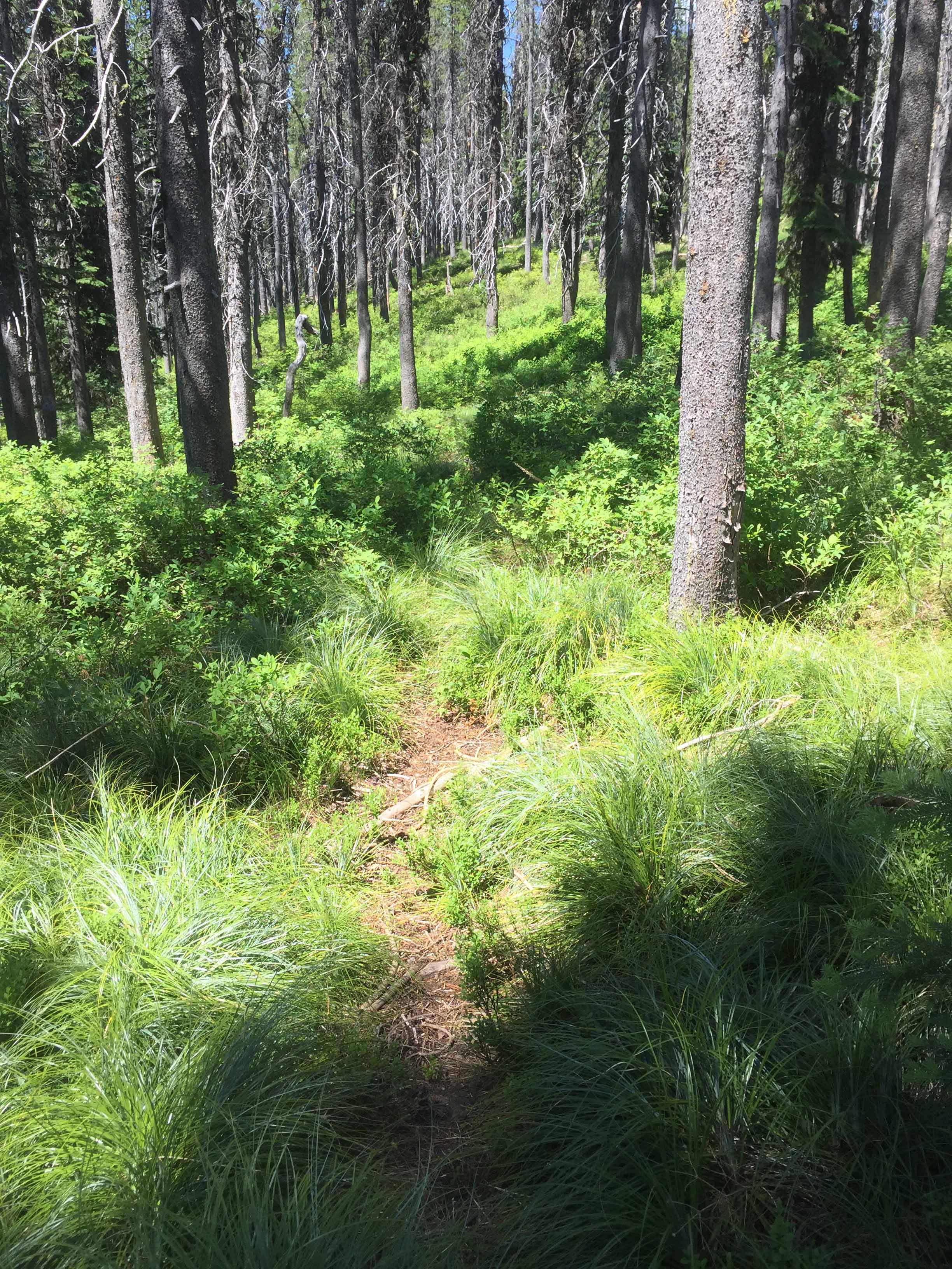
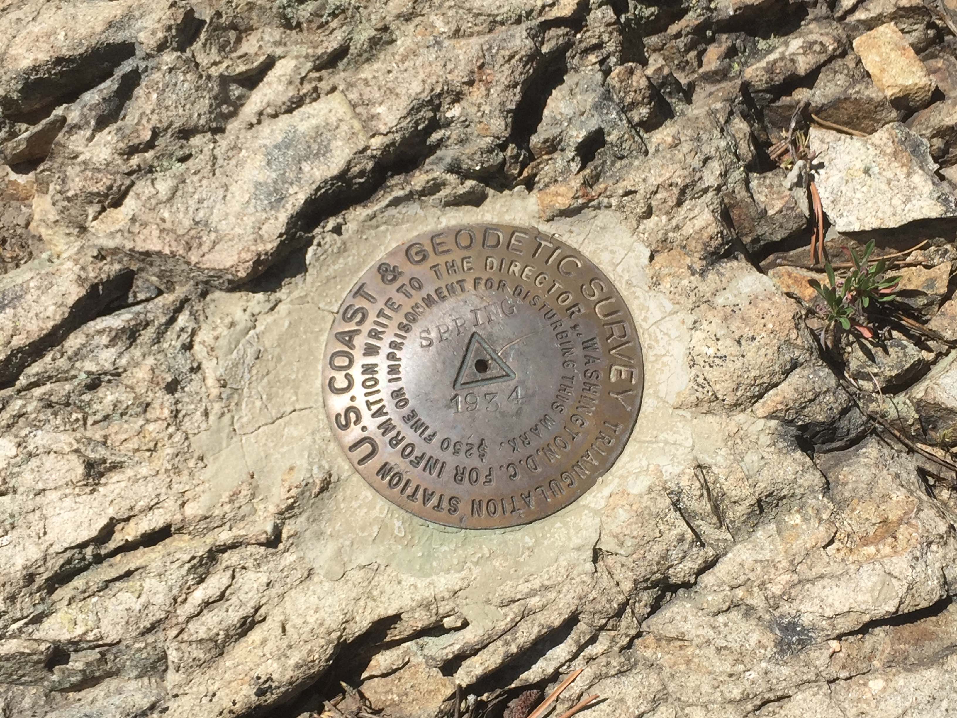
Spring Mountain is an easy hike with only a remnants of a trail through mostly lodgepole pine forest. The summit has a limited views due to tree cover. A USGS monument is cemented in bedrock on the summit.
More information on the Lolo Motorway is on the Clearwater National Forest website: https://www.fs.usda.gov/recarea/nezperceclearwater/recarea/?recid=80138
Elevation gain: 500’
Crosscountry miles: 1.6 roundtrip.
Water: I didn't look for the water source, but some maps indicate a spring on the southly facing draw above the road.
Bear Pepper Spray: Highly recommended in all North Idaho summits.
Maps: US Forest Service, Clearwater National Forest Information can also be obtained at the Powell Ranger Station a short distance off Hwy #12.
Directions: The vehicle travel destination is USFS #500. A slow mostly narrow US Forest road has often in the summer caravans of all terrain and side-by-side vehicles noisily tracking this route. From Lolo Pass on the Idaho/Montana border travel west approximately 12 miles to FS#569. The road junction is about ¼ mile east of the Powell Ranger Station/Lochsa Lodge access road. Travel essentially north on FS#569 for approximately 6 miles to Powell Junction. Here take FS#500 for another 12 miles to Cayuse Junction. At Cayuse Junction stay on #500 for approximately 4.25 miles to a saddle with parking near the west end of a south facing grassy slope. From here access the ridgeline at the top of the grassy slope and proceed following the high ground to the summit. The first part of the way can be on an old ATV track. A faint unmarked single track trail can be located much of the rest of the way.