Update: The upper trail, House of Sky is now closed December 1 through May 15 to all recreation use to protect habitat for approximately 200 wintering elk. Always consult City of Missoula website for updates.
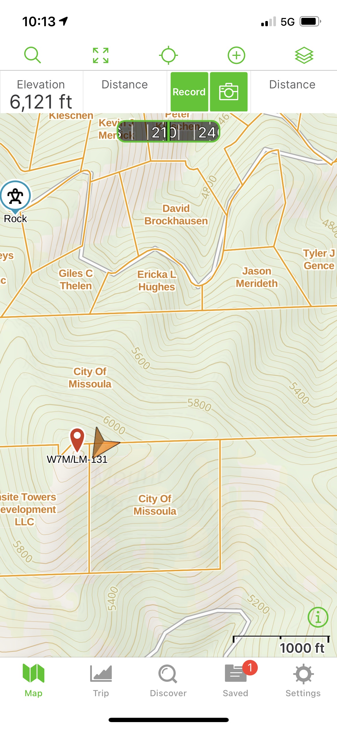
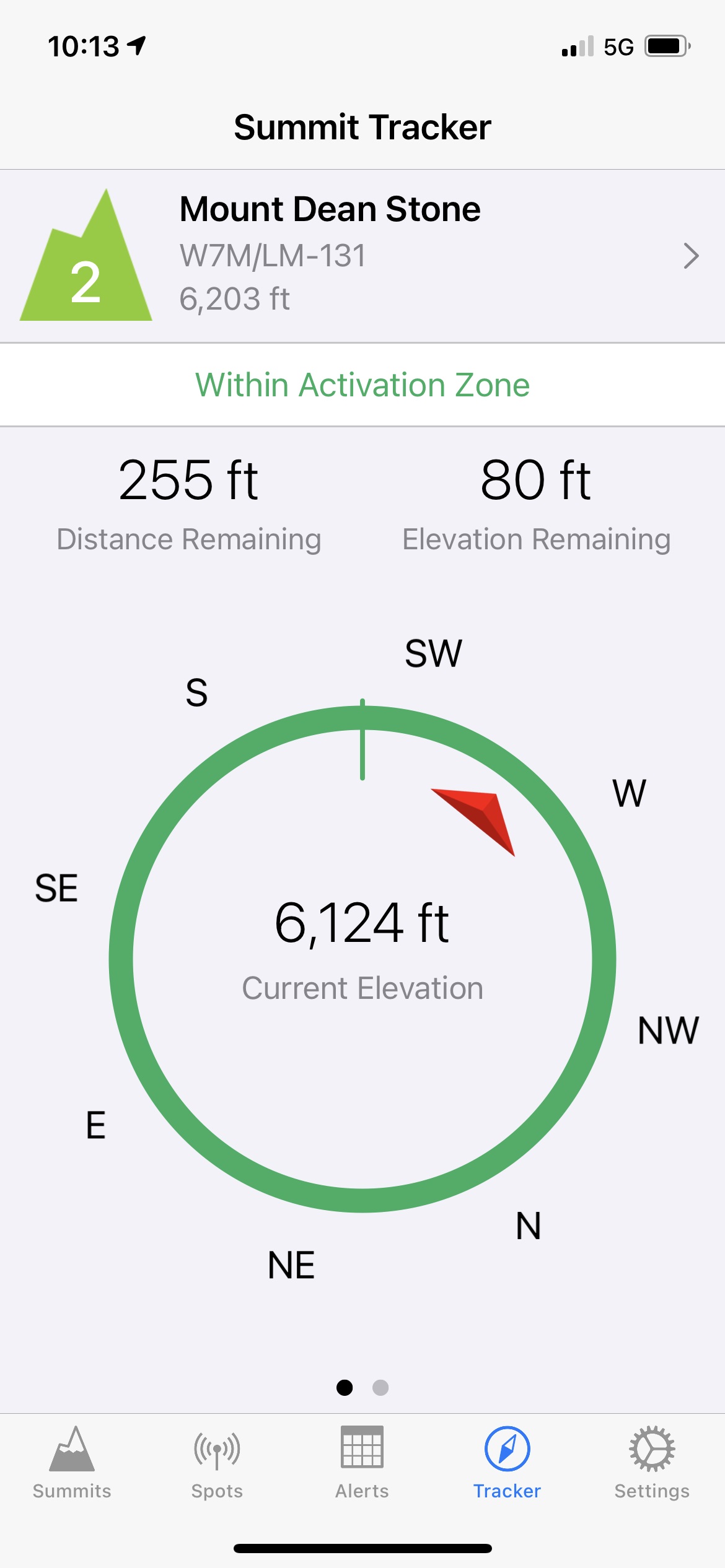
This summit became accessible to the public 2021 thanks to the hard work by a lot of individuals, Private Landowners, The Five Valley Land Trust, Nature Conservancy and the City of Missoula. The summit is private property and contains numerous communications towers. However, the new public access trail provides access to near the Activation Zone. A short off-trail hike on City of Missoula Property following the east ridge, an old fireline to a point of talus and bedrock accesses the Activation Zone. See SOTAGoat and GaiaGPS images.
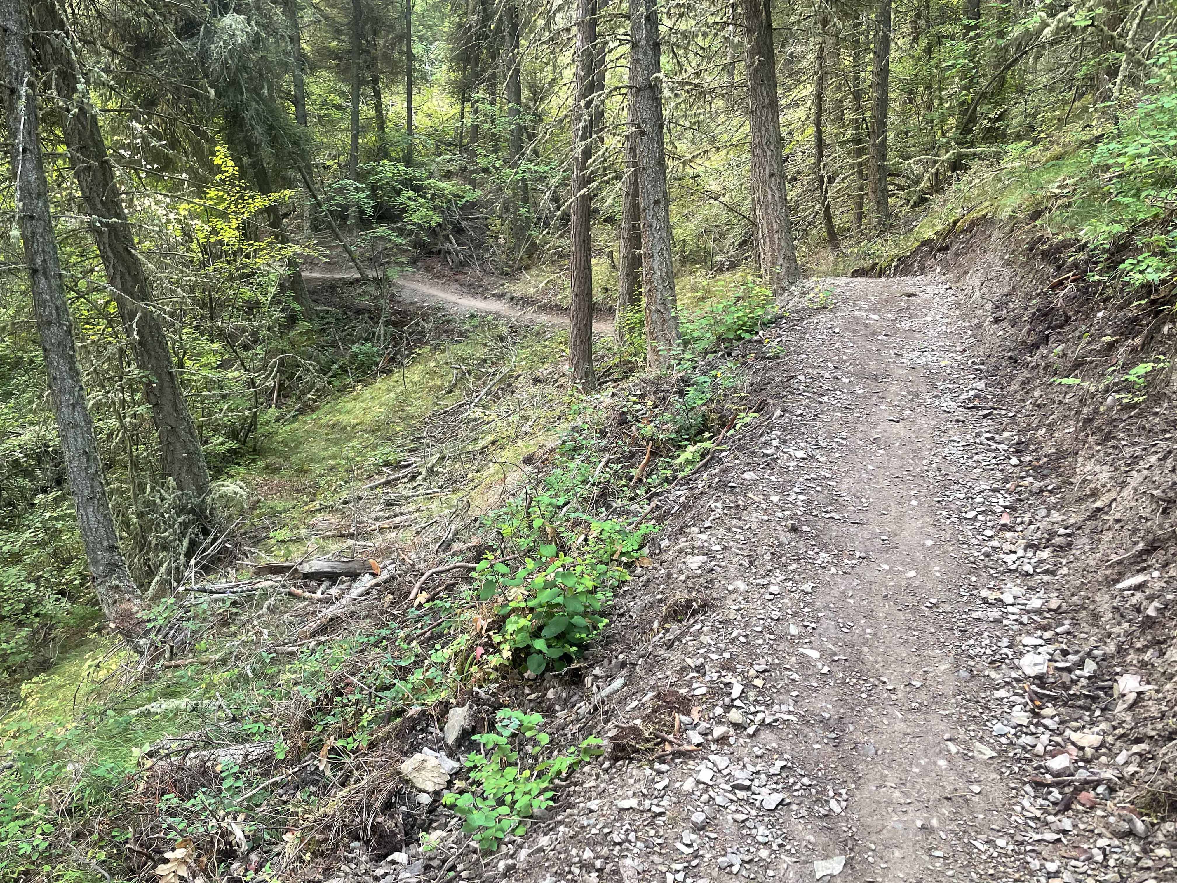
The trail is excellent albeit with lots of switchbacks and rolling sections for drainage and to keep a tolerable grade. Mountain bikers do use this route so be prepared to exit the trail when they are headed downhill.
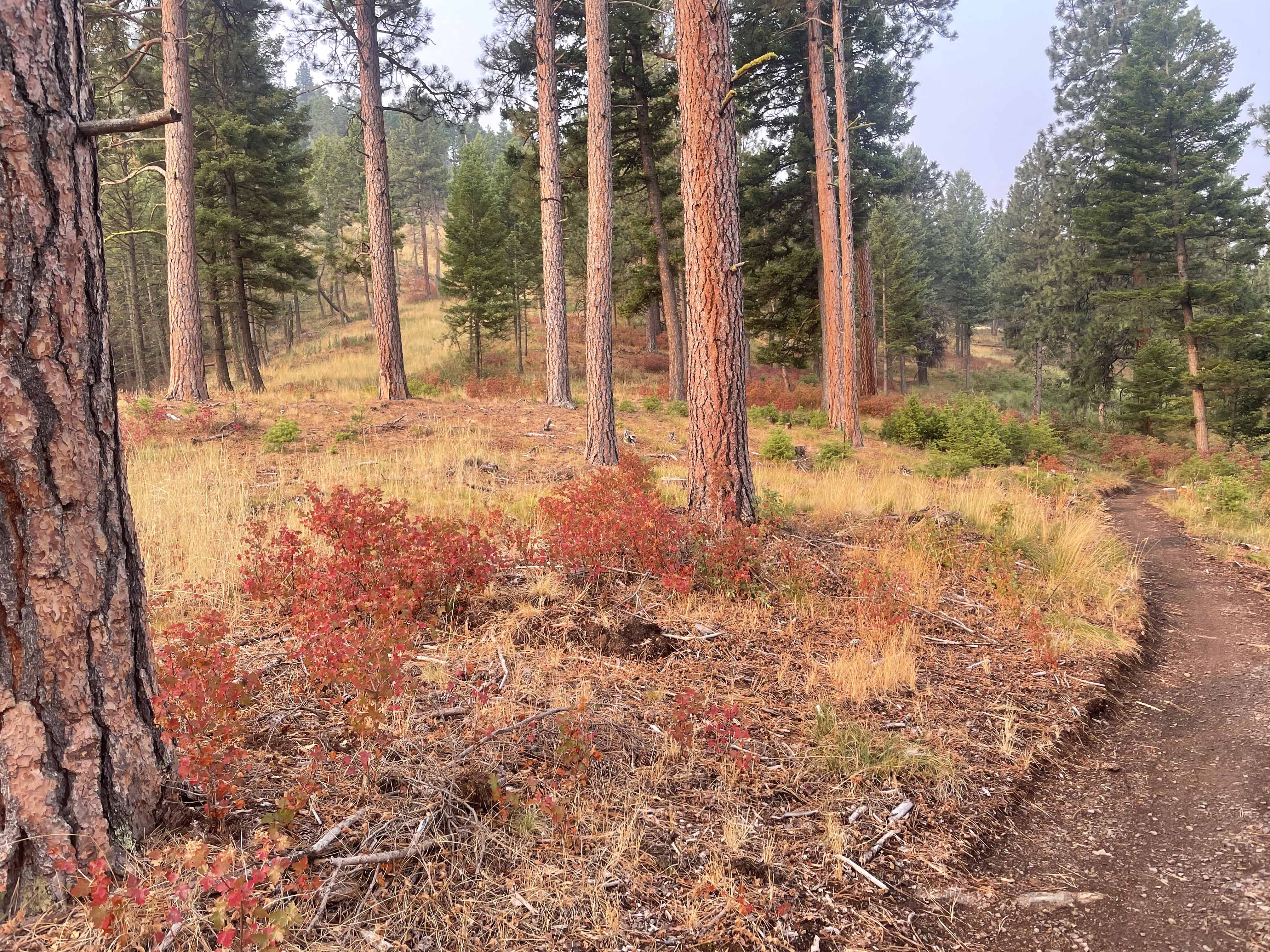
Views are plentiful of the Missoula Valley and the higher and distant Bitterroot Mountains even though much of the route is forested. As this trail becomes more know and popular expect to meet lots of people, dogs and mountain bikers.
Though the actual summit is a large communication site no de-sense was noticed on HF signals.
Trail Miles: 9 roundtrip
Elevation Gain: 1900
Water: None
Bear Spray: Recommended for all Western Montana summits
Map: Five Valleys Land Trust, Mount Dean Stone Preserve Trail Maps
Information: https://www.engagemissoula.com/mount-dean-stone
Directions: Two main trailheads exist. One, the Barmeyer Trailhead from the Pattee Canyon Road and another, the Sousa Trailhead off Spanish Peaks Drive. The Sousa provides the shortest hiking route.