This summit is slightly prominent over the old Ninemile Lookout Site. A sign on the summit points to this old lookout site approximately 0.25 miles east. Elevation difference is 28’. All that remains of the lookout are four large concrete support blocks, burned wood and rusting hardware scattered on the ground. Slow growing subalpine fir tower to over 40’ on the site.
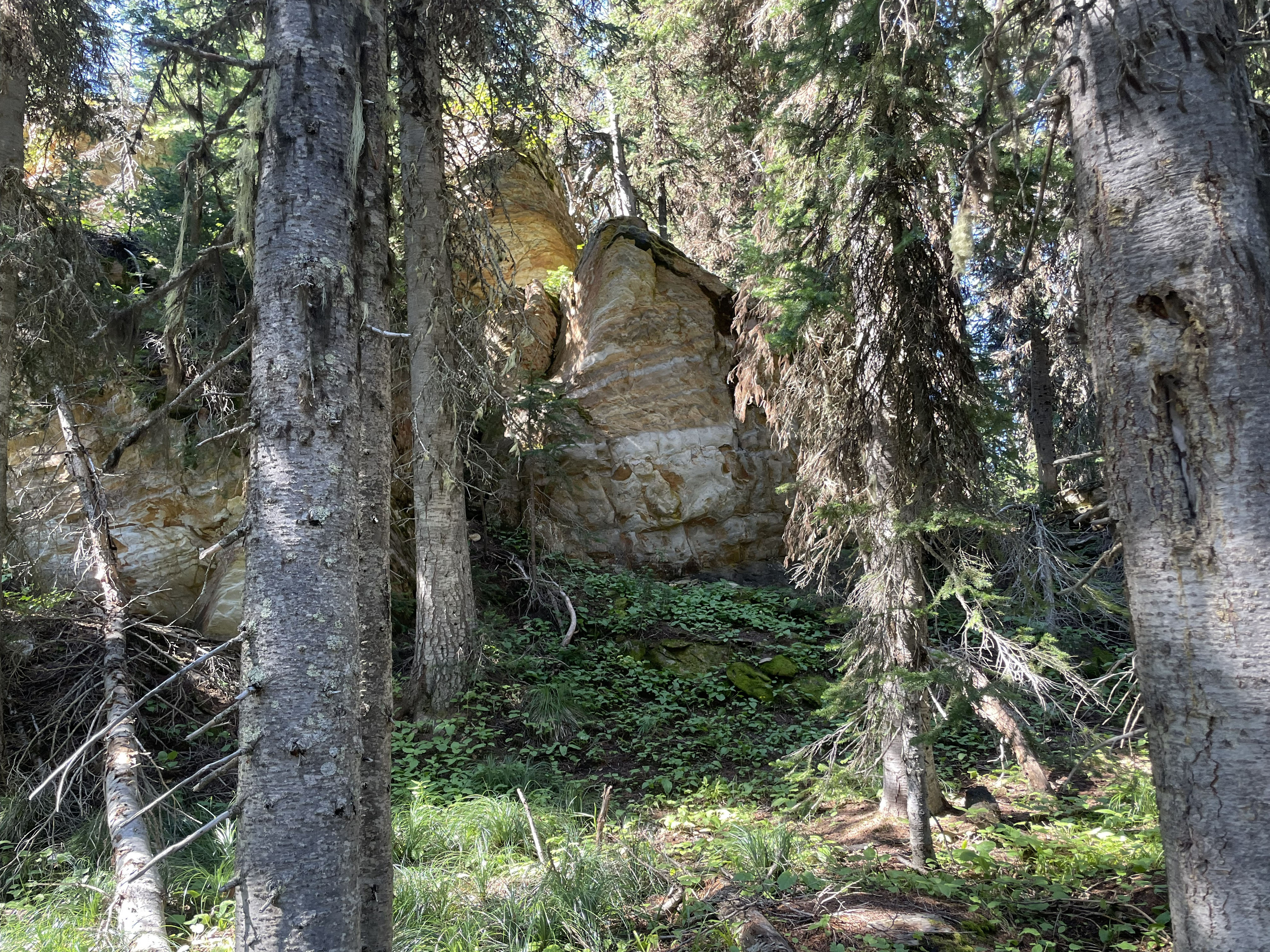
The remainer of the summit is dense old forest with oddly shaped rock outcrops of banded-argillite. Due to dense forest, there are very limited vistas of the valleys below.
The access route is along an old logging road, intermittent skid trails and a steep motorcycle single-rut trail.
Trail Miles: 3.5 round-trip
Elevation Gain: 550’
Water: None along the route
Bear Spray: Recommended for all Montana summit hikes
Map: US Forest Service, Ninemile Ranger Station
Directions Take Interstate 90 to exit 82 and follow the signs to Ninemile Ranger Station, traveling up the east side of Ninemile Creek (An option is to go up the west side of Ninemile Creek bypassing the Ranger Station).
Head north for 4 miles to the Ranger Station. Beyond, continue along the Ninemile Road US Forest Service Road #412 approximately 19 miles to USFS #5520. Caution: Road #5520, a loop road, also exits 9 miles up Ninemile Road from the Ranger Station. Do not take that end of the road as it will add considerable time and distance to your trip.
Continue on #5520 approximately 6.0 miles to the junction of #5475. Take #5475 for approximately 5.0 miles to the Ninemile Divide. Here the road becomes #520. Then in less than 0.20 miles take road #19250 for approximately 1.25 miles to a large parking area and gate. This is a trailhead for Trail #51. The summit is approximately 1.5 miles beyond this gate. Trail #51 goes to the summit and continues beyond following Ninemile Divide.