Whatatis Peak is directly North of the Hanford Reach National Monument. From Richland WA to the summit is just over 61 miles. You can drive very close to the summit, only the last little 1/4 mile kick up to the top peak is really treacherous. There is good parking at serveral locations off the access road to pull over to complete the summit on foot. I did a 2.5 mile hike to the top.
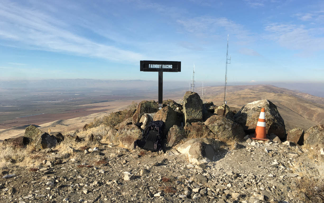
There is an odd "monument" at the top of this summit I would call an "hommage to redneck," complete with tins of chewing tabacco and Coors Light bottle caps in the cement base (picture below). There were mountain bikers who I encounted on my activation that parked at the turnoff at Hwy 24. It is 8.8 miles to the summit from the turnoff from Hwy 24.
There is an APRS repeater on this peak, so needless to say APRS coverage is very good! I activated on 2M FM and was getting into TriCities with 5W on my HT.
Directions:
From Richland, WA go North on WA-240, then turn right at WA-24E
The Road to the summit is a left turn just after MP60.
At the bottom of the road is a sign for Saddle Mtn Overlook. As you ascend you will see a sign that says to go right to go to the Overlook DO NOT turn right! The SOTA peak for Wahatis is to the LEFT.