I referenced K7ATN's blog post from a couple years ago and found some revised signage, new road clearing efforts and noted some additional GPS turn coordinates. Here is an updated trip report for Monte Cristo HP in the Trout Lake area of WA. And here's the previous trip report: http://www.pnwsota.org/blog/k7atn/2018-november-16/monte-cristo-hp-wa-nov-2018.
Here for some activation fun west of Trout Lake, Washington is Peak 4420 or Monte Cristo Range High Point. It's a bit out of the way but is a near drive-up four pointer accessed by a road that a passenger car can handle.
Needless to say, a GPS is a good help for finding this summit. There are other roads leading there, but the directions below are for a gravel road in good condition.
Head east in the Gorge to either Cascade Locks and cross the Bridge of the Gods (and go east on 14) or to Hood River and cross to Highway 14 (and go west). You'll take 141 Alternate north towards Trout Lake, about 21 miles, meeting up with the regular 141 after about 2 miles.
Pass through Trout Lake and go past the Mt. Adams Ranger Station. In about 0.5 miles past the Ranger Station, the road will swing left. After 2.6 miles past the Ranger Station turn left onto NF-86 at 45.97564, -121.58889.
After about 2 miles on NF-86 you will see the Gifford Pinchot forest boundary entry sign. Shortly after this sign, NF-86 veers to the left.
Photo below shows the fork to the left to stay on NF-86 after entering the forest boundary.
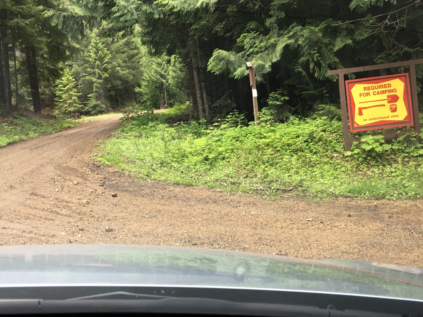
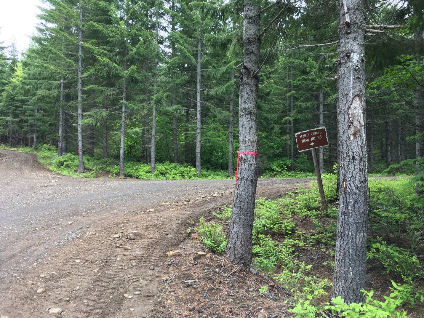
After the fork, and traveling 2.9 miles, you will see a sign for Monte Cristo trail. In June of 2020 there were also “Forest Boundary” markers in red tape along the road. It appears there may soon be foresting operations here.
After another 0.5 miles you'll see another sign for the trail. It is only an 8.5 x 11 piece of printed paper in a plastic covering, so it may or may not still be there. Look for the bullet-riddled “narrow road” warning sign behind, that should still be there.
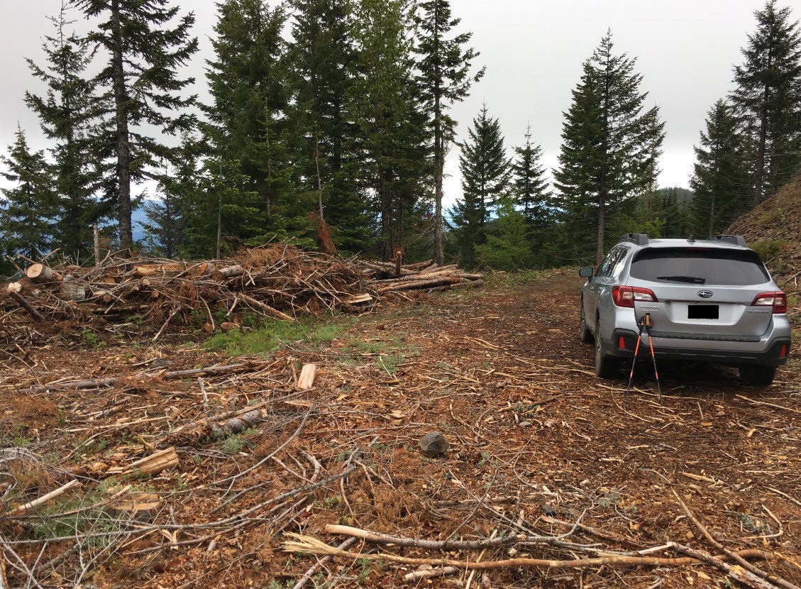
Continue for another 0.5 miles, at this point the road used to end, but in June of 2020, it was cleared for another .1 miles. Continue to a widened area where you can park about 0.2 miles from the summit.
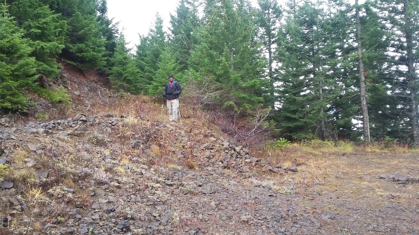
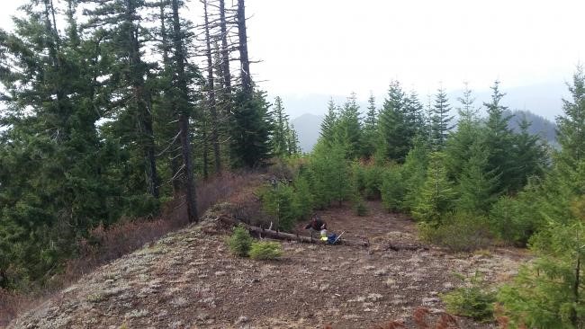
From this flat area, you'll find a ramp leading to an overgrown cat track heading towards the summit (see photo with Roland-K7FOP).
In June 2020, this cat track was covered with downed small trees from thinning operations, but these may be cleared by the time the next activator attempts this summit. When this cat track peters out, you go cross country about 40 yards or so to the left to find an open area with views and the summit (last photo).