This was a failed attempt of activating this summit.
Driving the route to the "trailhead" involves a 21 mile stretch of Forest Service roads that takes you within a thousand feet of the summit. Take Forest Service road 412 that starts at Montana highway 135, just south of Quinns Hot Springs. 412 intersects with Forest Service road 97 that takes you to the summit. See link below for the map of this route. These are well maintained roads but Four Wheel Drive is highly recommended. Some rocky spots and deep potholes from the rain. Allow 90 minutes to drive this.
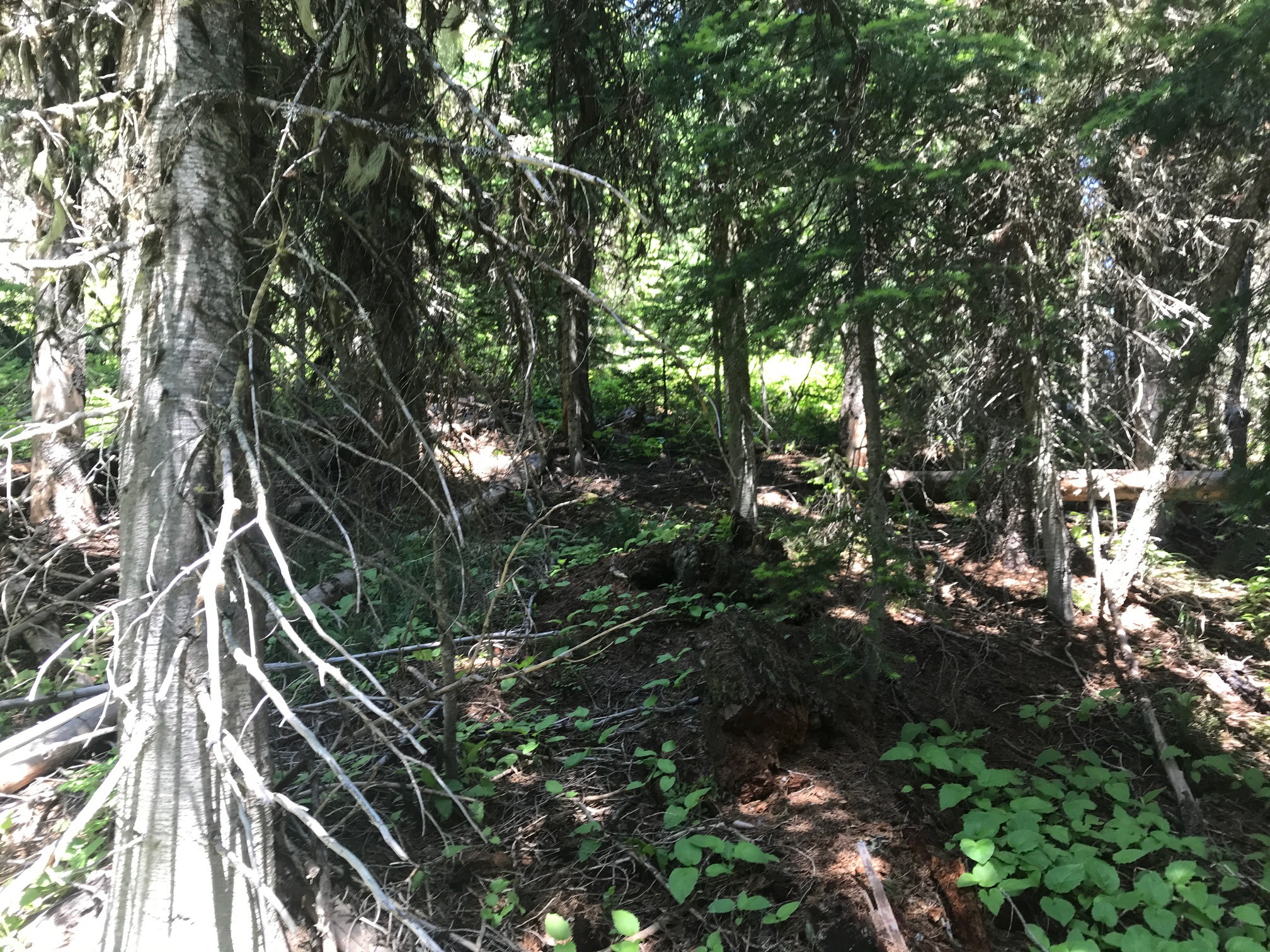
There is no trailhead. Initially this looked promising as the hike was a few thousand feet with moderate elevation gain. However, the woods are so dense and littered with fallen trees that I could not see the road after bushwacking into the hill only twenty feet or so. I spent a half hour ascending until the SOTA Goat app on my iPhone told me I was within activation distance. I was not on the summit but just below it.
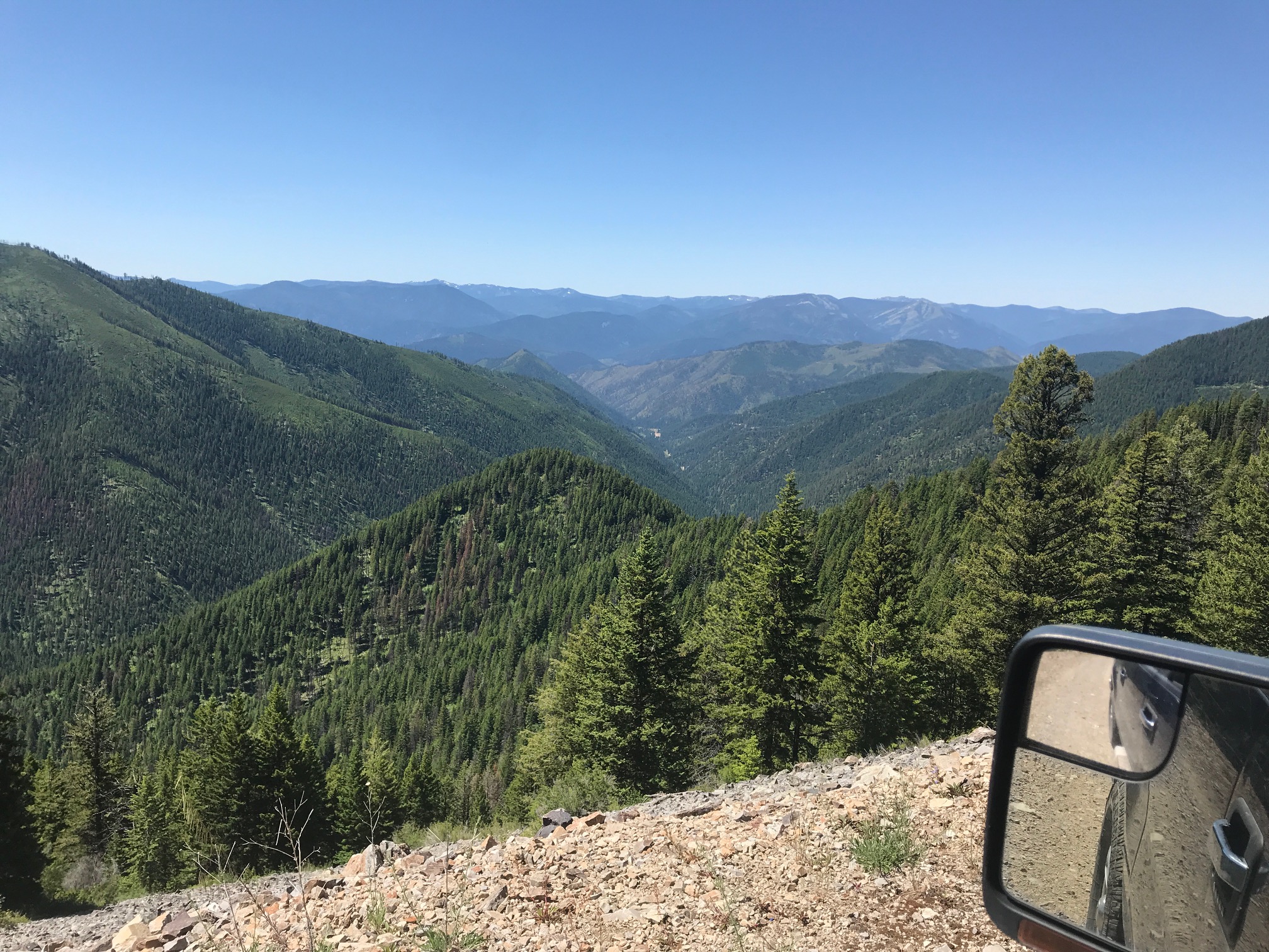
There was absolutely no view of the beautiful valley below. I uploaded two pictures. One is the view looking towards the valley from my activation point. The other is the valley from the road about a half mile from the hiking point. You see my dilemma.
One issue is that I am only operating with small 5 watt handhelds. A Yaesu FT2D with a 42 inch tape measure type antenna. This works great when I have line of sight and have activated from up to 70 miles away. I should have been able to get Missoula easily from here if not for the vegetation. I had two chasers waiting to hear from me. In fact, I could hear them talking among themselves, although a spotty signal, but they could not hear me. My other issue is that I can only use 2 meter FM voice at this time. New equipment purchases in the future will change this.
I had a good connection to the repeater on Patricks Knob.
Key take away advice to anyone wishing to activate this summit.
1. Take another SOTA ham or two with you. You can at least chase each other although only one can activate.
2. Use a more penetrating band. SSB and CW will go further. As will other meter bands.
3. Try to have other SOTA hams waiting for you on the other side of the transmission. This is in addition to posting your alerts and spots on SOTA Goat.
4. Allow about an hour to bushwack to the top of the summit. Granted, you will still be thick in trees but you might get out a bit further and would be omnidirectional. I was by myself today and felt uncomfortable getting that far off the road unable to navigate anywhere but down.
5. Let me know you're going. I live in Plains and can easily get to the top of Patricks Knob and give you an easy contact.
I plan attempting this one again. After I take my own advice.
Link to driving and hiking map