
On our way into the Gifford Pinchot National Forest heading to Lookout Mountain that morning, we noticed that we passed Trout Creek Hill on the right, with what seemed like open roads heading in the general direction. Taylor made note of the route we'd need to take on the topo maps, assuming all the roads were actually open. We figured that we might at least drive up towards this one after we finished at Lookout Mountain, even if only to survey the potential. As it turned out, this became our third and final summit of our whirlwind ten-point day.
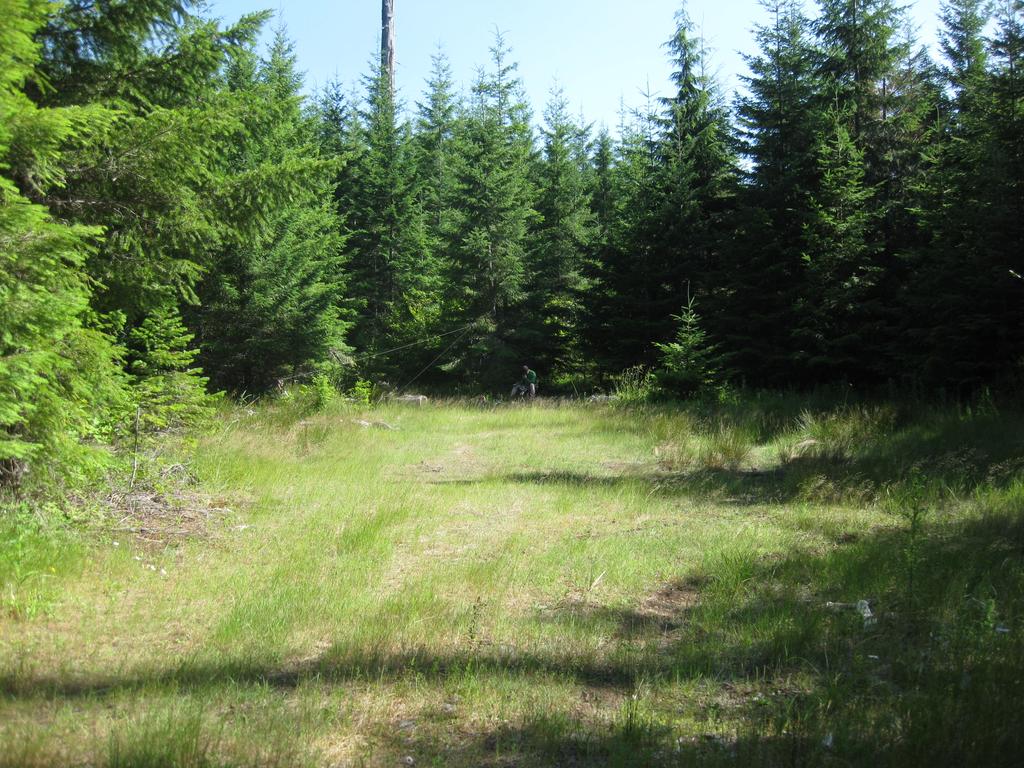
We departed the vaguely-labeled 43-or-417 road heading north towards the summit. The roads were open and well-maintained until we turned left on the final spur which circles up to the top. At this point, the road became very narrow and rough, requiring some trail techniques to get past some mirror-scraping downed trees on either side. The "road" goes all the way to the top although at some point, the narrow path through the brush will be something you'll want to walk on instead of drive. At the actual top, a very nice meadow opens up in the middle of dense forest on all sides. Protected from the wind and offering several shady patches, this is a very nice place to operate.
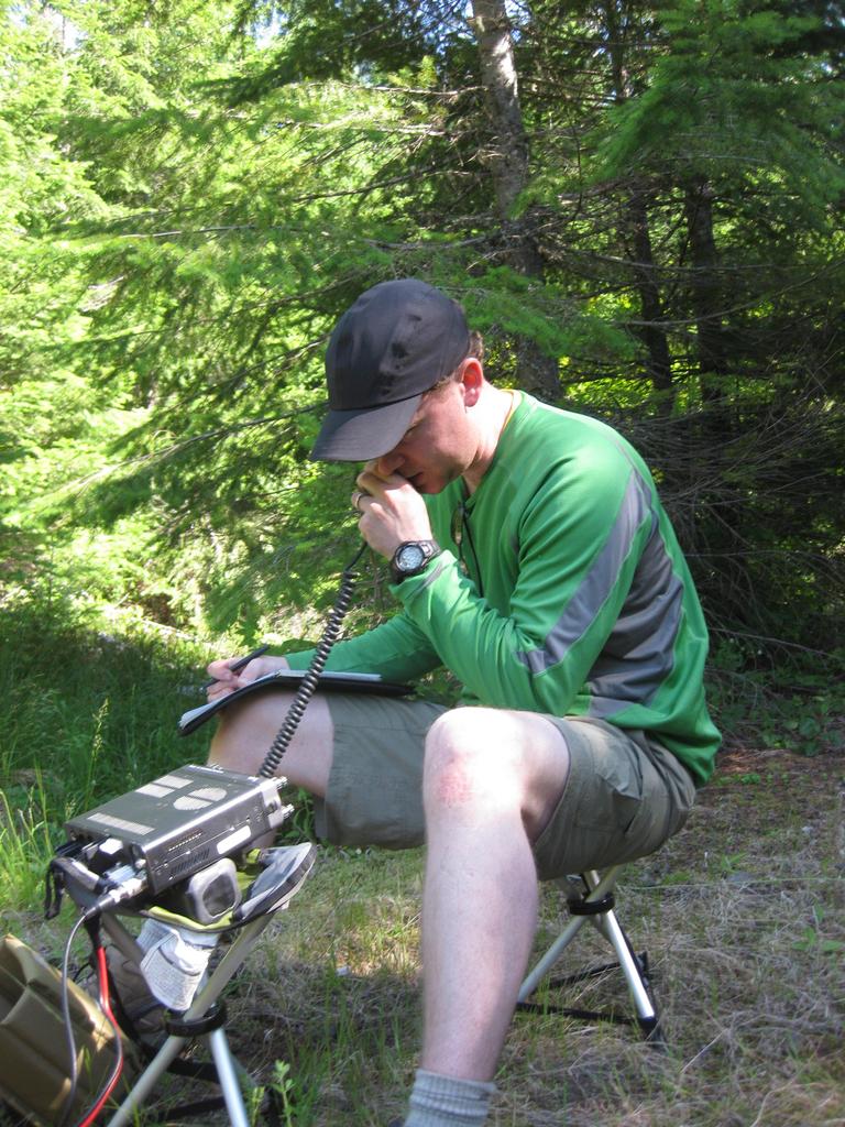
We set up on the far side of the meadow in some shade. Having completed two other summits already using high power, we were unsure how long we would be able to operate before we ran out of juice. We had been using my 8 AHr A123 LiFePO battery pack all day, and were able to get three contacts out of it before it gave up. Luckily, I had another 4 AHr pack with me, which we used to complete both of our activations.
Unfortunately, I wasn't able to get any cell coverage at all here, and I wasn't seeing anything from nearby APRS digipeaters. I had left the digi on in the Jeep, and was hoping that my packets were bouncing off of it and making it to the rest of the world. It wasn't clear if we were spotted via APRS and the late-in-the-day conditions were making things difficult, or if our packets hadn't reached civilization. Either way, we really had to work for our final few contacts here but we eventually got them.
This two-pointer is easily accessible by about any vehicle, just requiring a bit of walking at the top on relatively flat and smooth ground to the final spot. If you're in the area for either Lookout Mountain, D-Layer, Bunker Hill, or one of the another nearby summits, this is an easy bonus to grab before you leave the forest.