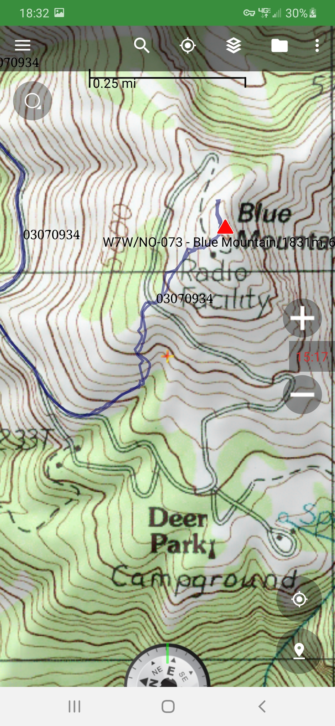
The winter activation is much more challenging than the summer one. In the summer, it is a drive-up until the last quarter-mile walk. In the winter the road is closed 9 miles down at 2000' elevation. So that means and 4000' climb over 8 miles up.
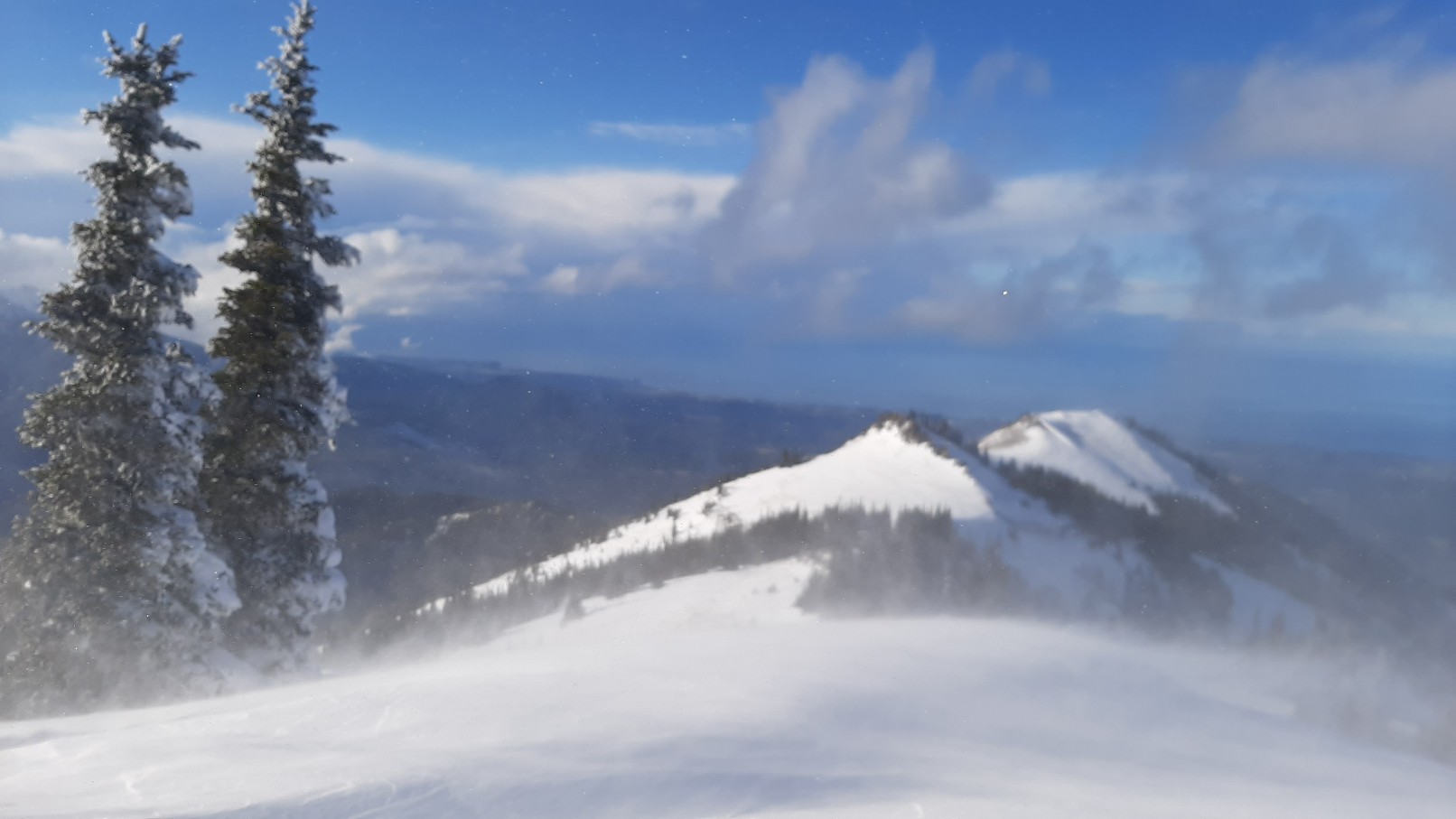
I walked in my sneakers the first 4 miles up to 3800 feet. There was some snow, but not enough to ski on. I put on my telemark skis at 3800 feet and skinned up. At first, the snow was shallow and hard-packed, but by 4500 feet it was getting deeper, plus I was in a pretty heavy storm. I could hear on the scanner that the Olympic National Park was closing Hurricane Ridge road early due to deteriorating conditions, and they had to hold traffic at the top to allow a snowplow to clear the road. Hurricane ridge road in across the valley, but I was getting the same storm!
By 4800 feet the snow was deeper. I was following the tracks of a splitboarder who probably went up yesterday. But he stopped at 4900 feet and the trail breaking got tough. My ski tips rarely were even visible, they just remained submarined below the deep powder--quite a workout. It would have been nice to have one or two other skiers to help break the trail.
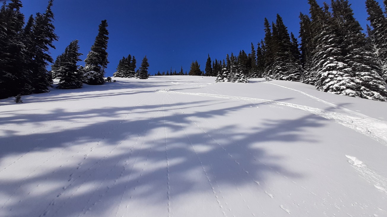
It was slow going up to the fork in the road where one road goes down to the ranger station, but no avalanche danger. I pondered going straight up to the summit to save some switchback miles, but I couldn't do that until a bit further. Even in the trees, the snow was windswept off of many areas, with lots of rocks to catch the skis. Fortunately, the windswept areas had more dense snow, so breaking the trail wasn't quite so bad.
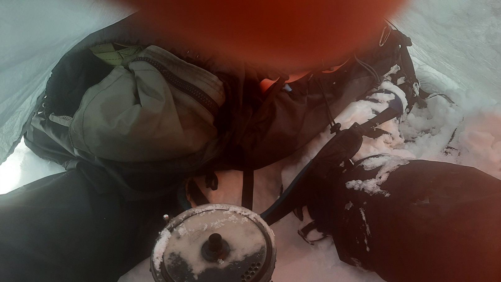
I had cut off a switchback and was aiming for the road at 5700 feet. It was blowing and snowing hard, so I set the goal of getting to the flat of the road, then rest. Thank goodness for my Bothy Sack--I was able to get out of the wind, boil water and melt snow for hot chocolate, and get a bit of energy for the last 300 feet. As I finished the snack, the clouds parted for a nice view. But the winds did not let up. I had to pick my way up around the wind-swept rocks to the summit, and it was HOWLING. Maybe 40 mph with higher gusts. I found a less windy spot behind a small clump of trees and made a bunch of 2-meter contacts with my Anytone 878 with the stock antenna. My family was visiting my mother, and not near the HF radio at our house (and too far from the summit for 2-meter contact). So I planned to set up on my 818 on 40 meter SSB and try to contact them via the TS-590 at our QTH that we have set up for remote access via RemoteHams.com. Normally the remote access works great, but we are having trouble with the internet at our house, so they were not able to remotely access the radio today to talk to me. By the time we figured this out, I was getting pretty cold. And there was so much activity on 40 meters and 20 meters that I didn't know if I would find a free frequency, so I packed up and skied down before I froze.
It had taken me from 0935 until 1500 to get to the summit, but it didn't take long to ski back down, at least until I ran out of useful snow. I arrived at the car at the closed gate at 1815.
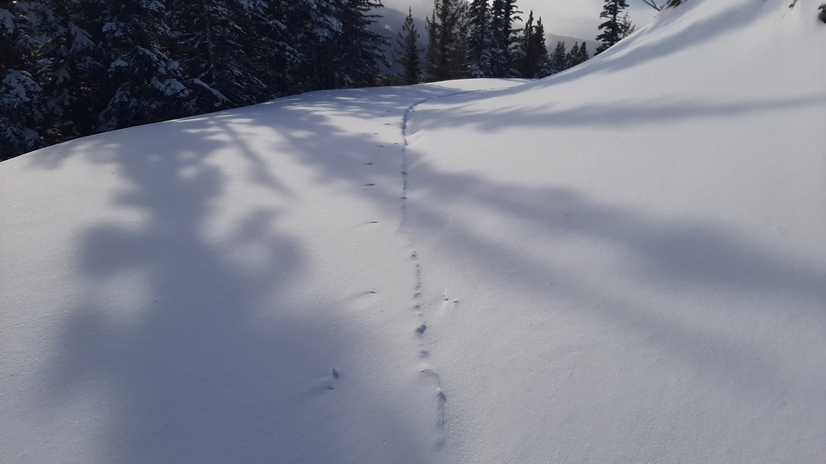
I saw some deer and squirrel tracks, but no other signs of wildlife. The winds were strong enough that perhaps half of my trail was completely obliterated and without any sign of me having been there within an hour. I wasn't worried about finding my way back, though--the road is very easy to follow.
I didn't expect to actually reach the summit--I thought it would involve too much trail breaking for one person. But the high snow level and windswept areas helped. A long day but worth it. The peak finally put me over 400 activator points.