Located in the Alpine Lakes Wilderness off the West Fork Foss River Trail #1064 near Skykomish, this peak is between Big Heart and Angeline lakes. Big Heart Lake is about a 7.3 mile hike in, and the trail is steep and rocky at times. You'll also pass Trout, Copper and Little Heart Lakes on your way with wonderful scenery at all times.
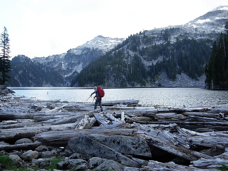
Once at the lake, cross the logs by the outflow to the east side. There are several campsites here. Continue to follow the main trail as it goes up the shoulder of the ridge, leaving the trail when you reach the bottom of a boulder field on the northwest side.
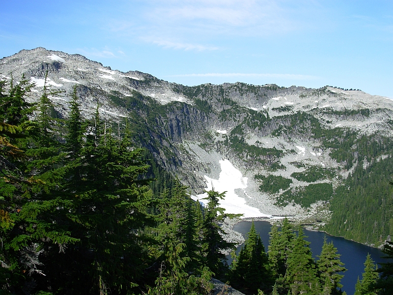
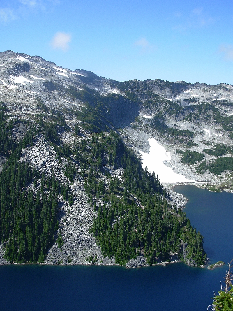
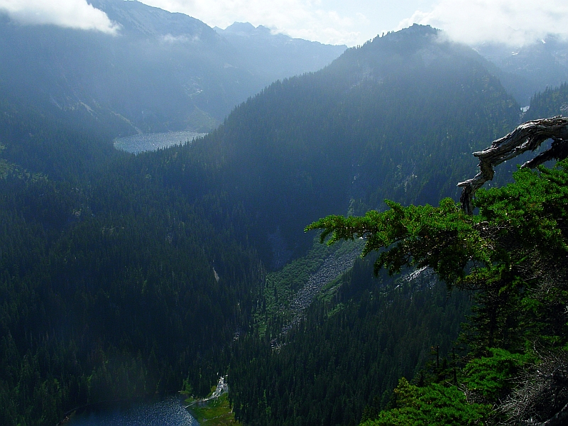
If you can find it, follow the small intermittent trail along the west side generally below and through the boulders - going south then east up to a saddle between the two obvious high points. Ascend the southern peak on your right – there is a small trail to the summit from the northeast. The boulders at the top are a short scramble. It took less than an hour from camp to summit. The view of the lake and surrounding mountains from there is spectacular!
The trees and vegetation around the summit made it difficult to deploy the long dipole - a vertical antenna would be much more convenient. Had no luck on 40M (I didn't post an alert), but did get 12 contacts on 20M including 2 STS with about 1/2 hour's operating.
This is a good distance in, yet still doable as a day trip. I prefer the way we did it - camping and fishing at the lake, enjoying the scenery, and not having to rush back out.