"Llao is the god of the underworld in the mythology of the Klamath Native American tribe. Llao fought a great battle with the sky god, Skell, which caused the eruption of Mount Mazama, creating Crater Lake." (from Wikipedia ). I'm not sure of the correct pronuciation of "Llao".
Overview: The Llao Rock Natural Area has been closed to the public: https://www.nps.gov/crla/learn/management/upload/CRLA-Supt-Compendium-S…. This hike is relatively easy with only 450 ft of elevation gain and 0.94 miles one-way. There are no obstacles but do stay safely away from the cliffs near the Rim Trail to Llao. See also the blog entry of NS7P for additional information.
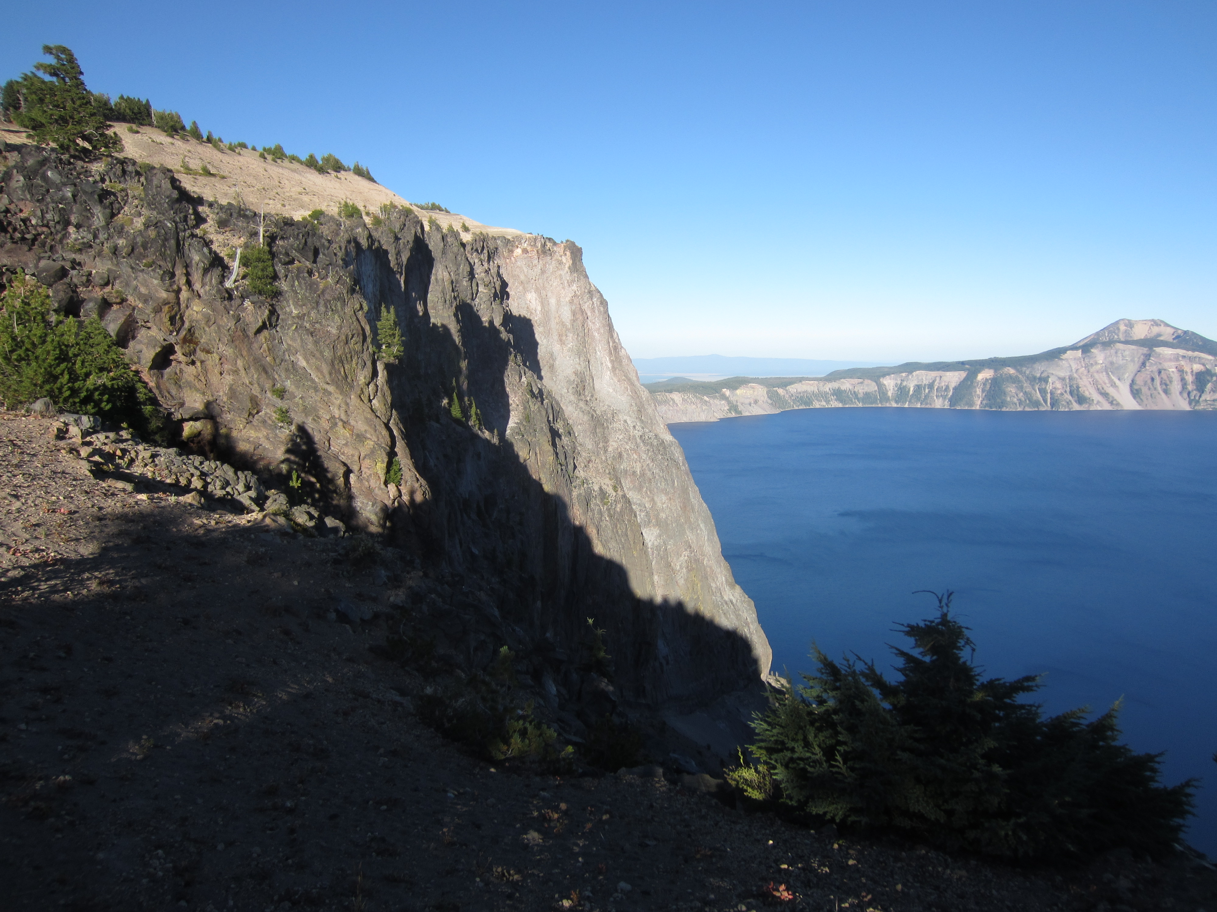
Getting there: View a Park Map at http://goo.gl/FgQAL. From the North entrance, park at the North Junction and walk the rim ridge trail up towards Llao Rock. You will get spectacular views of Crater Lake by staying on the Ridge as you ascend. There is a bunch of trees at the very summit which can provide either wind or sun shelter. A trail descends from here to a "lookout rock". Read the caution entry below.
Red Tape: Carload Park Entrance daily fees. Free backcountry permits required for overnight stays at designated trail camping sites. Car camping allowed in the park at the Mazama and Lost Creek Campgrounds when they are open for the summer season.
When To Climb: Summer and Fall are the best seasons. However the Park is "open" year around but the North Entrance road is not snow plowed. From Diamond Lake, this access is a favorite of snowmobilers. In the spring, rim cross-country skiing from one of the Lodges is also done. The winter season rules as Crater Lake can get up to 44 ft of snow! According to the FS website, the Mt Scott trail can be "snowbound until mid-July"!
Caution: At the summit, there is a downtrail to an "overlook rock". See my pictures. Be very careful not to slip/fall as this is the 2000 ft cliff edge!
Mountain Conditions: The Forest Service has a great website (http://www.nps.gov/crla/index.htm) with webcams and current conditions links.
GPX Data Info: See http://goo.gl/xMtTI for Motion X info stats, waypoints, and a GPX file for this climb and Activation.