Long Mountain is on the Weyerhaeuser recreational permit area for Columbia - Washington Counties. It was previously activated via a 12 mile hike, but this is not the only route. As it turns out, there's a straightforward access trail via BLM land to the southeast of the peak, which only requires about 1.5 miles of hiking each way.
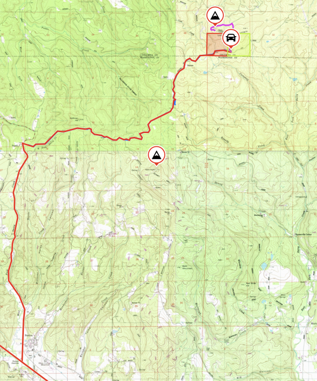
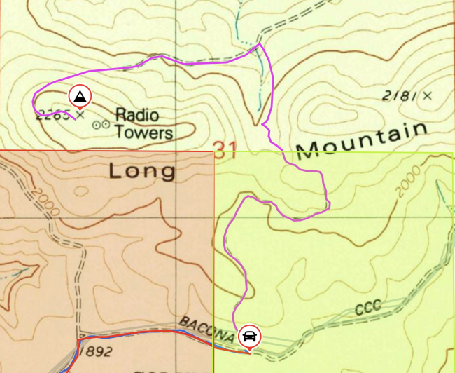
Driving route and hiking route GPX posted to sotamaps/SOTLAS.
Start by getting yourself onto Bacona Rd, also known as Bacona CCC Rd, also partially known as Hershey Rd depending on the map you look at. Coming from greater Portland, the easiest route to drive is out Hwy 26, then turn north at Hwy 47 to Vernonia and LL Stub Stuart State Park. My uploaded route starts from that intersection.
- North on Hwy 47
- Turn right onto Hoffman Rd at ~5 miles, a mile past the entrance to LL Stub Stuart State Park (45.75217, -123.19624). Hoffman is a gravel road.
- After about 2 miles, turn right at the T onto Bacona Rd
- Continue on Bacona Rd for about 5 miles
- Park at (45.78336, -123.10059) across from a dirt doubletrack trail
Hoffman and Bacona are gravel roads with a bit of up and down. Most passenger cars, driven gently, should be able to navigate it. Trucks and 4x4 vehicles will be at home.
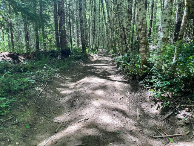
There is sufficient room on the side of the road to park at least a couple vehicles. After parking, begin hiking up the dirt doubletrack. This trail could be ridden by mountain bike, motorcycle, ebike, or ATV. While this section of the traverse is on public BLM land which allows vehicles, after 3/4 of a mile it transitions to Weyerhaueuser land, which would require a motorized permit for use of anything besides feet or non-e bikes.
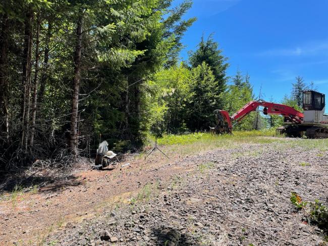
After 3/4 mile the trail twists around and exits into the Weyerhaeuser parcel. There is a small section of dirt trail with some steep descending angles, navigable easily enough with hiking poles and some careful steps. The bottom of this section makes a T into a graveled road. Unless you want to do some bushwhacking, I suggest turning right. The route savings is small and not worth the effort). After the T-intersection right, follow the gravel road around the base of the hill, staying to the left at every intersection. Eventually you'll wind up on the summit. When I visited there was a bit of logging equipment, but plenty of room to setup and operate. The old maps show "radio towers", but there is no longer any communication equipment on this summit besides what that you bring. It took me just short of an hour to hike the trail to the summit.
Although one might be tempted to try a hike/bushwhack via the parcel directly south of Long Mountain, please don't do this. That land is privately owned (not by WH). I've marked the parcel in red on the map, BLM land in bright green.
Note, Bacona Road also intersects Buxton Lookout Road, which leads to Green Mountain. It's very easy to pair these summits in a day, especially since they're both on the same WH permit.


