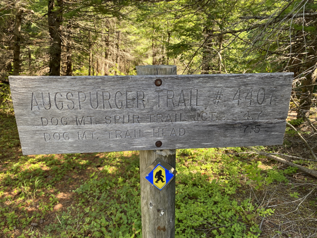
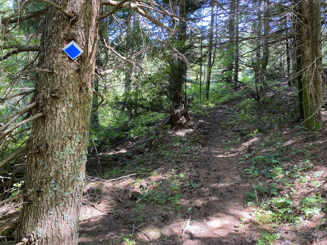
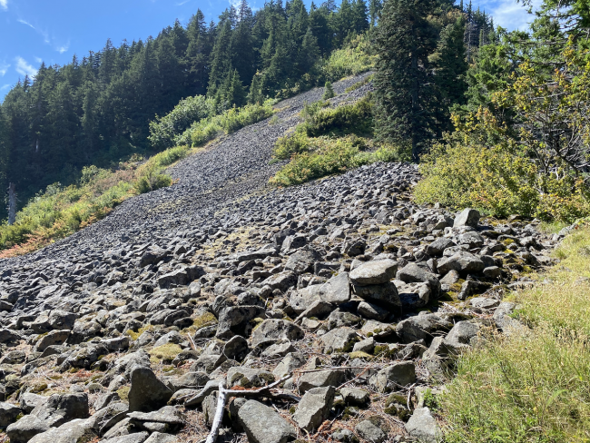
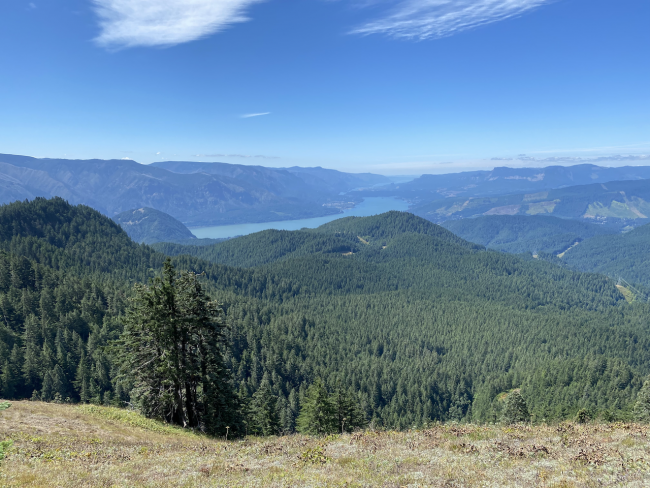
Augspurger Mountain in the Columbia Gorge is a 4-point summit near Dog Mountain and Wind Mountain. Historically, the approach from the south (via Dog Mountain) was considered de-facto and is reputed to be long and strenuous. An alternate was found, however, from the north side that, while steep in places, is shorter. 1.6 miles and 1300ish feet of elevation get you to the AZ with good gorge and mountain views, some nice duffy sections and some moderate exposure in areas, requiring careful footing.
From Highway 14 in Washington, proceed to the start of Berge Road (45.7128, -121.78255). Continue north on Berge for 3 miles to an unmarked gravel cutoff at (45.73719, -121.76700). Turn right and continue up 4.9 miles to the parking area, which looks like a quarry with the number of large boulders around. The driving route is linked below.
The trail begins at the end of a short spur to the east. The trail itself climbs steeply, ascending 1.6 miles and 1300+ feet to the AZ. The trail is faint in some places due to the foliage, but when the ridge is achieved it should be clear as it is the only trail in the area. I have included my track for reference in SOTA Maps and SOTL.AS.
The driving route is linked here. Not all maps of the area have good coverage of these roads. The road is really only appropriate for mid-clearance vehicles with AWD due to rough conditions in a few spots. When wet, this road could be troublesome in spots and is narrow. Use your judgement.


