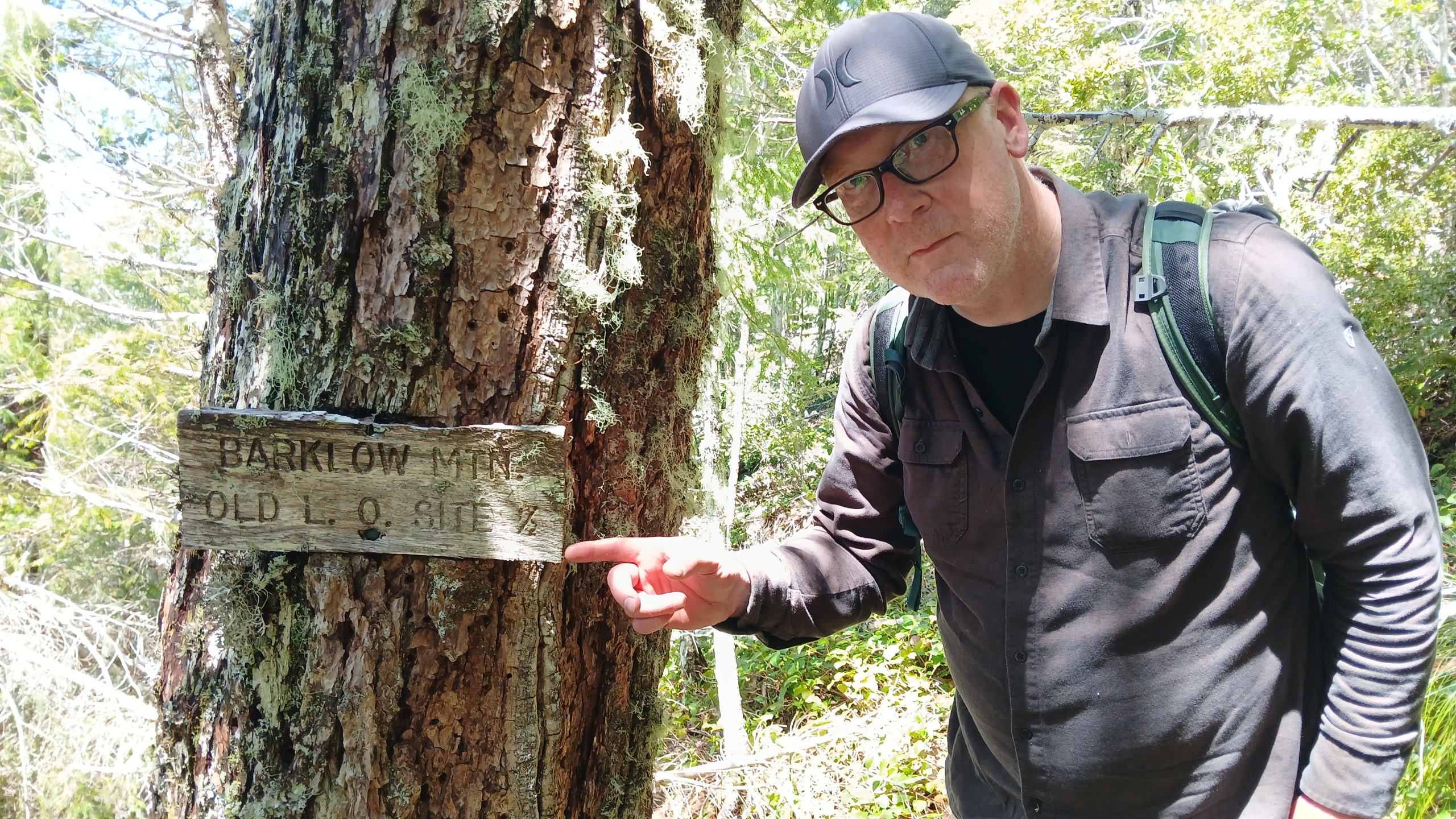
Barklow Mountain is a 2 point summit in the Rogue/Siskiyou National Forest between Powers, OR and Port Orford, OR. The site is a former fire lookout (now gone), serviced by a disused road and a short trail. The summit area has a view to the west and plenty of space to set up a vertical or a wire. Some lookout foundation artifacts remain.
This summit could be combined with Father Mountain (which is en route) or Panther Mountain, or possibly Johnson Mountain. The mainline roads in this area are in decent shape, servicable in a passenger car. Nearly all the spur roads are in bad condition and require high clearance or are impassible.
You have two choices for route. We came from Port Orford, but coming from the Powers side would be easier. From Port Orford:
- Begin on Elk River Road at Hwy 101 (42.79020, -124.49308), heading east for 10.5 miles to (42.71300, -124.37585).
- Note that Elk River Road becomes FR 5325 along the way.
- Turn right up FR 5502 for 1 mile.
- Turn left at the top (42.70580, -124.38129) and proceed for 7.2 miles on FR 5502 to the junction of FR 5502 and Euchre Creek. STAY LEFT to stay ON on FR 5502.
- Continue another 8.6 miles until the junction with 5325 (42.67925, -124.18870).
- Continue 10.6 miles to the junction with Barklow Ridge road on the left at (42.75125, -124.15541).
From Powers:
- From Powers, head south on Powers Road South. This road turns into FR 33 after about 4 miles. Drive 10.9 miles to China Flat Campground at (42.77922, -124.06397).
- Turn right on 3353 and continue across the bridge 0.3 miles to (42.77850, -124.06900).
- Continue on 3353 for 10.8 miles to (42.75125, -124.15541).
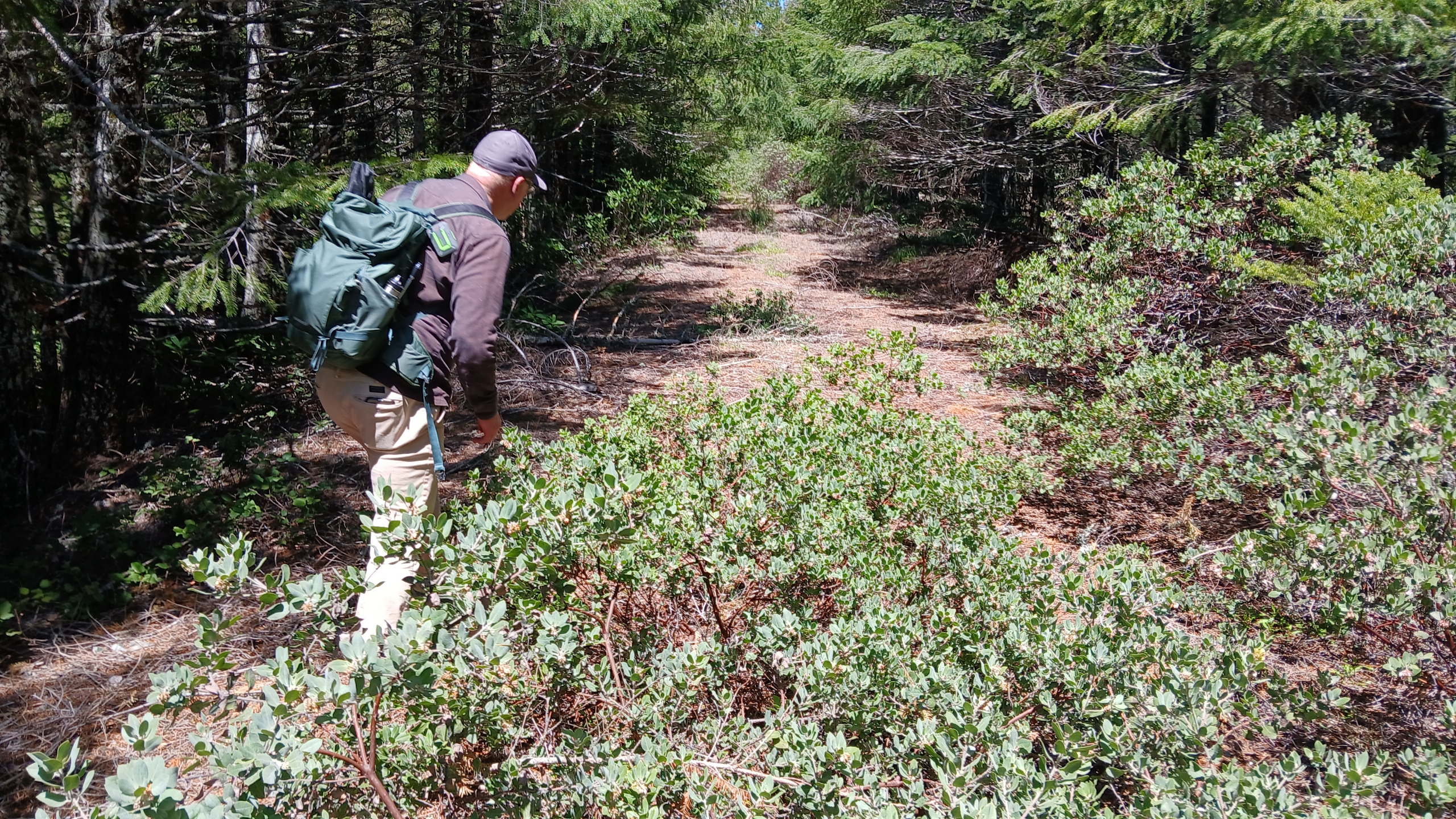
From here, you can drive up Barklow Ridge Road about 0.1 miles and park. Begin hiking the road. After about 1 mile, stay right and continue another 0.2 miles to the end of the road (clearing). Stay left and take the trail about 0.5 miles. There will be an obvious path up to the right to access the old summit/lookout area.
You may be able to work a few people up here on 146.52. I wouldn't expect much on 58.
NOTE that black bears are very active in this region. We saw a very large black bear and multiple fresh scat during our trip, so use proper precautions.