Cougar Mountain is an easy drive up near Seaside, OR. Or is it?
The conundrum comes because of two gates. Both were open when I went up, neither had signs, not even the seemingly mandatory warning about closing at any time. I rolled the dice this time, but now that I know what's up there I'll bring a bike if I come back.
Here are the directions which work regardless of your mode of transport. That includes the carefully driven passenger car, although this route had less than the normal amount of potholes, so not so carefully? Watch out for log trucks anyway.
First get yourself to the intersection of Highway 26 and Highway 53. Turn south onto Hwy 53 and go 3/4 a mile to Hamlet Road. Turn left on Hamlet Road and continue for 5.7 miles. At (45.8403, -123.6868) turn left and cross a bridge. Note that it looks like you are turning into someones driveway. This is not the case. You will shortly come to the first gate. It is 3.5 miles from this gate to the top. You will come to the second gate when you are a mile from the top. When you are 3.5 miles from Hamlet road you will take a slight left off of the main road. At 100 meters or so from this is (45.8356, -123.6342). From there you are a tenth of mile from the top. You could easily park and walk, or continue to drive up the solid double track to the summit.
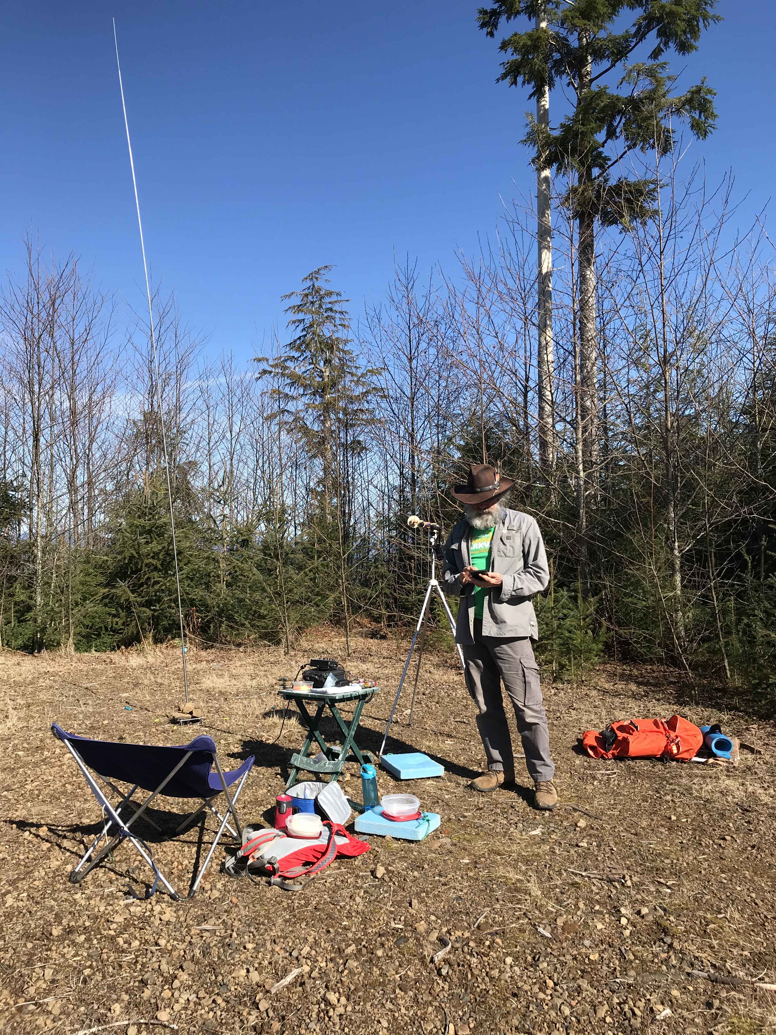
There is a landing at the summit, note that the road continues, so a GPS to locate the actual summit will be helpful. At that landing there are small trees a reasonable size open flat area and a couple of old snags for antenna deployment.
Final note, this is very near Cole Mountain, and Peak 1380. All three are accessible from Hamlet Road, but don't count on a map or GPS to get you between them. Looks like lots of new roads have been put in.