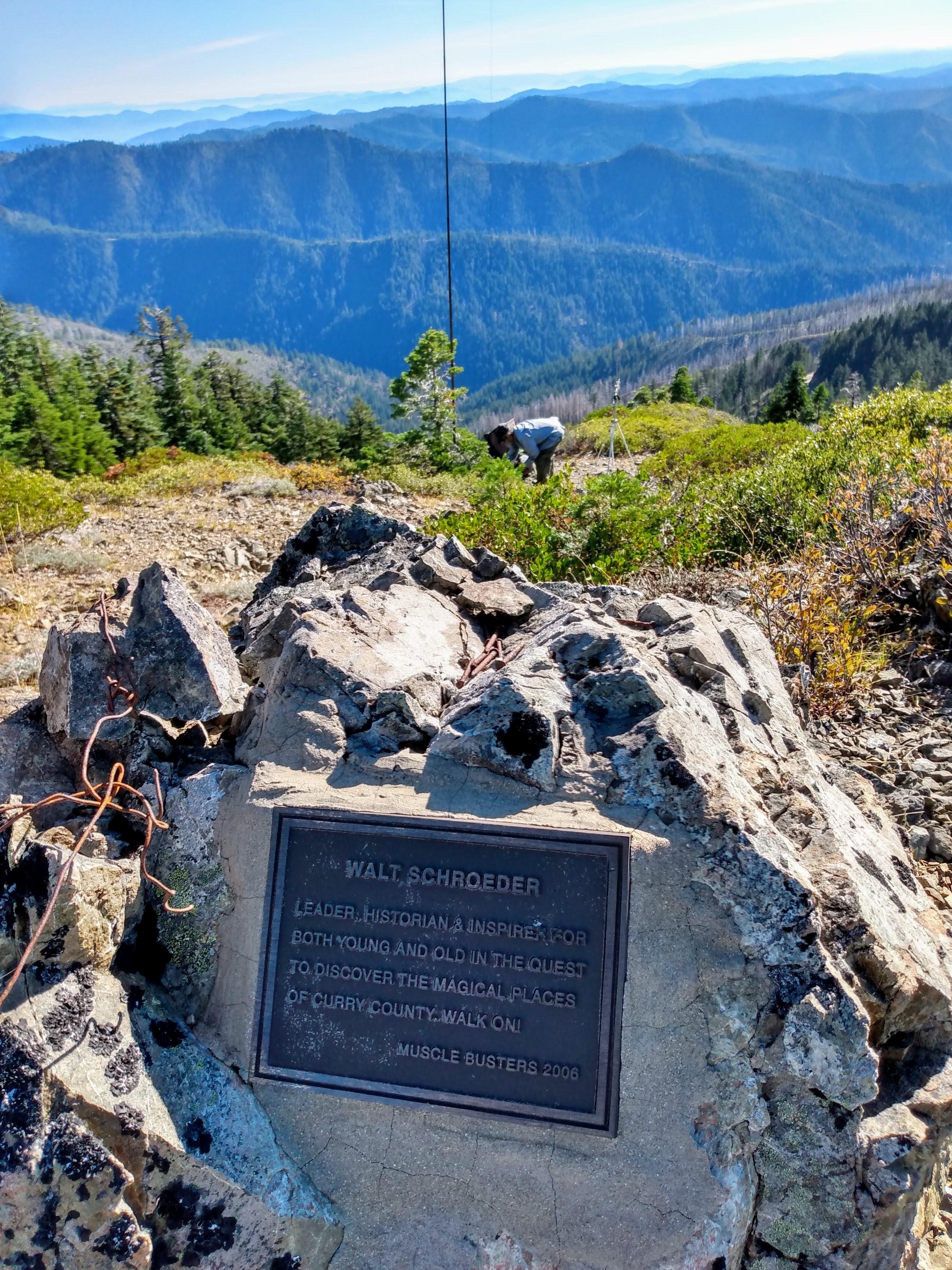
Brandy Peak is a short hike on a good trail. It is accessible in any vehicle. It’s not close to a population center. You knew there was a catch. The views from the top are spectacular and 360 degrees. It might be on your shuttle route if you are running the Wild and Scenic section of the Rogue or the Illinois Rivers. Road is closed in winter.
To get there go about a mile east of Galice, Oregon and turn south onto Galice Creek Road (42.5647, -123.5974). This road will put you on Bear Camp Road. The turn off of Bear Camp Road is at (42.6261, -123.8356). This is Road 2308 and the trailhead is about 4 miles further at (42.5976,-123.8804). From here it is 1.7 miles round trip and 650 feet of elevation gain. The trailhead is obscure, just a pull out. However, the trail is very good for a while. At some point you turn up hill on a less well maintained trail. The final push is overland as the trail is obscured by low brush, but by then you can see that you are at the summit. A GPS is always helpful. There are no trees on the summit proper, so I dropped down a bit and secured my pole to a small tree. There are larger trees that are likely still in the activation zone. Hard to leave the top though, it is so beautiful.