This peak is the quintessential reason I do SOTA. It is a nice hike to a scenic summit that I never would have visited without the activating imperative.
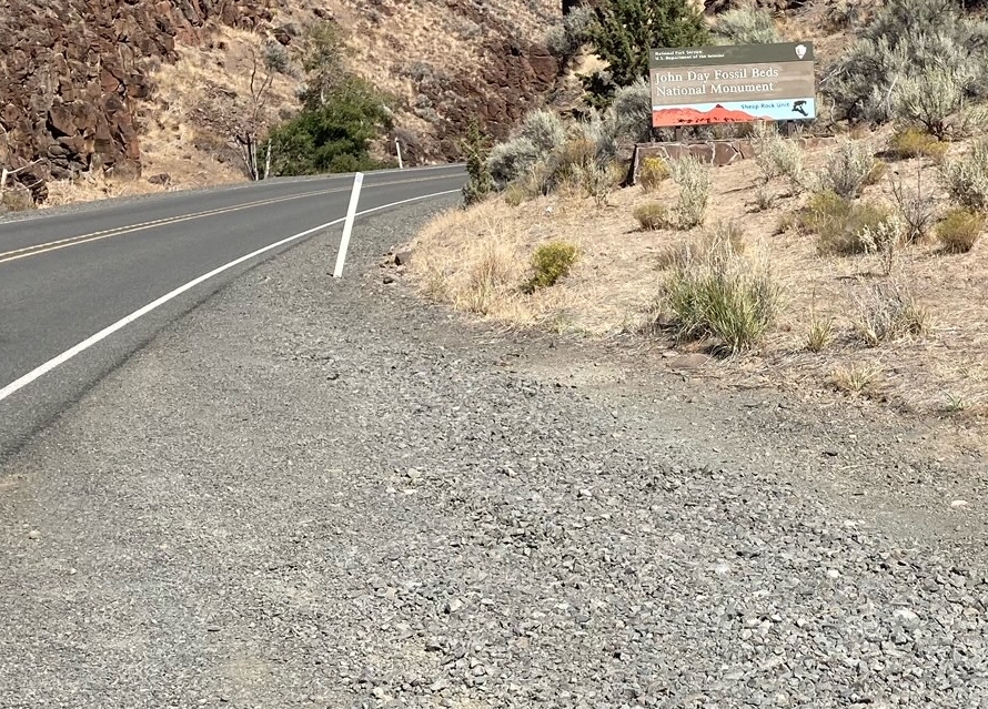
It is located near Dayville a mile or so west of the US-26 and OR-19 junction. It is part of the John Day Fossil Beds National Monument.
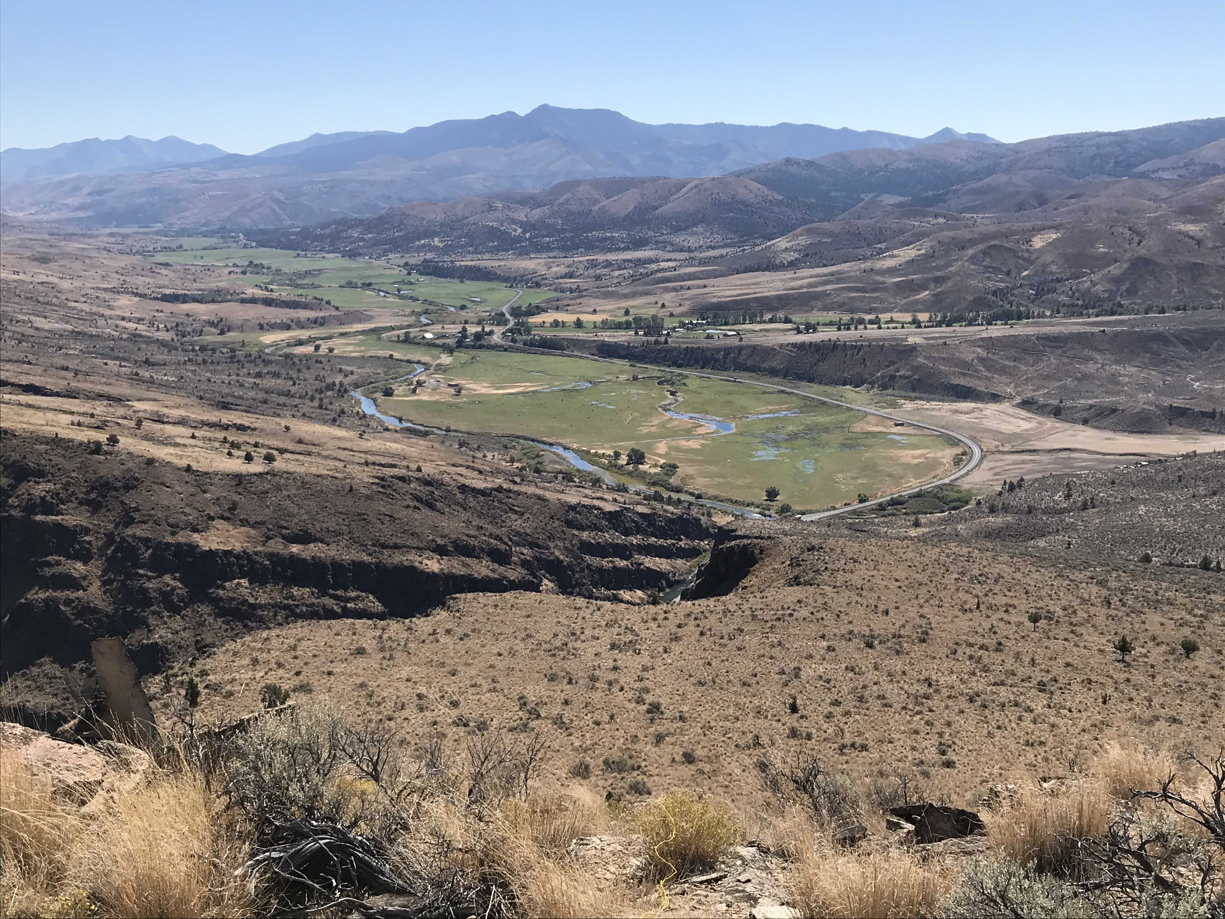
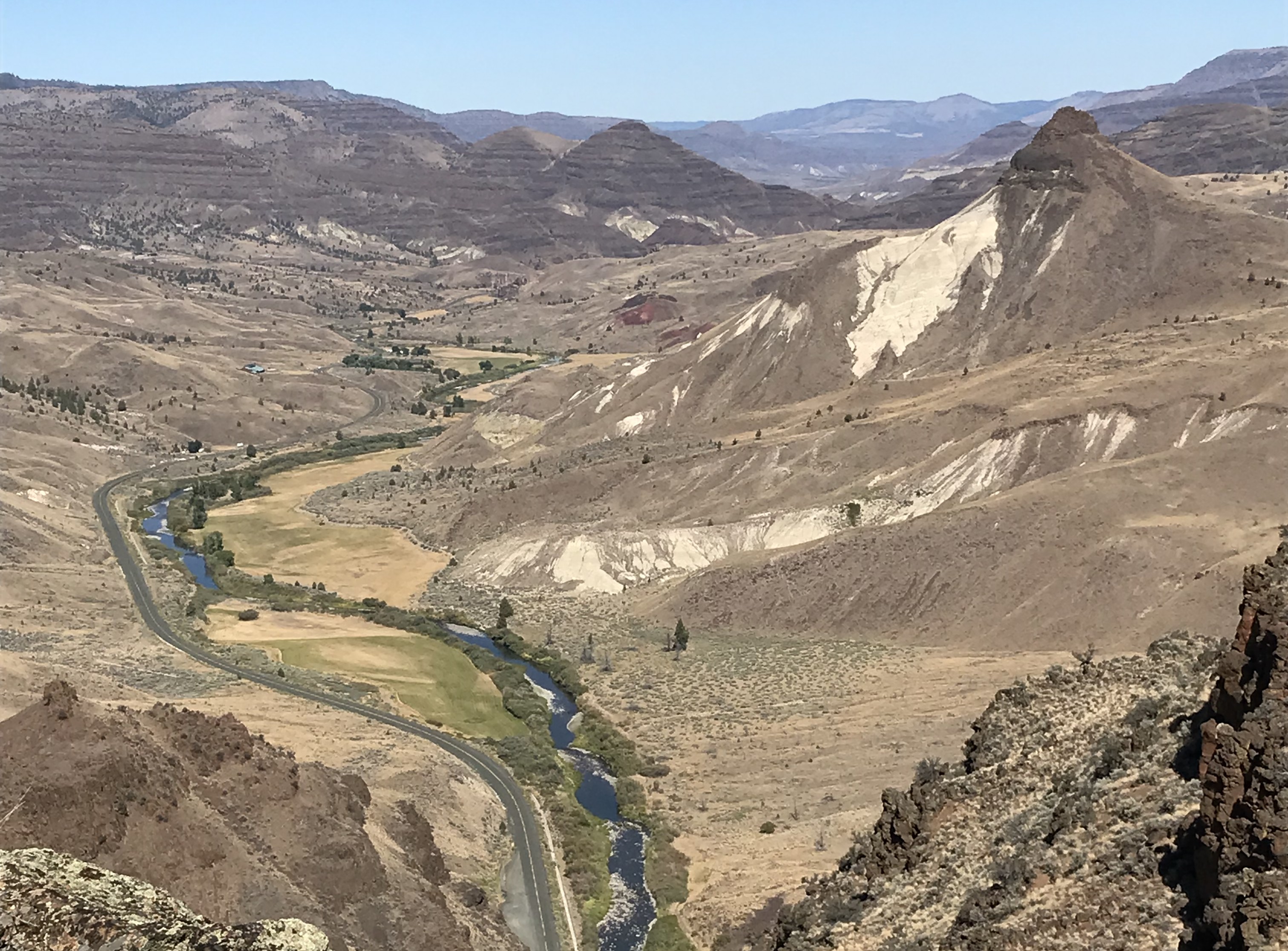
Park at (44.5156, -119.6526). There is room for a few cars to park well off the highway there. There is a barbed wire fence gate that opens onto a jeep road. Follow that ~1.5 miles and 800ft. up to the top. There is one Y in the road. Take the left fork. The activator will find a small radio installation at the end of the road. GPS says the actual summit is a bit to the west, but there are good views and a pile of rocks to anchor a pole to the east. It is all in the AZ.
There are no trees on top and few on the way. Go on a cool day.