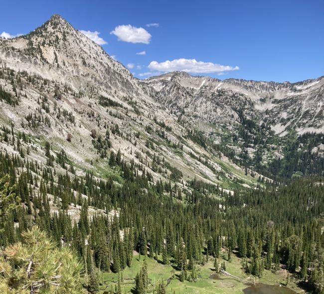
Needle Point is the lowest 10 point summit in Oregon. It is not the easiest. It is located in the Eagle Cap Wilderness in north eastern Oregon. Access to the trail head is via Union, Oregon.
It is a nineteen mile round trip hike with 5000 feet of total elevation gain.
The trail head is the Main Eagle Creek Trail head at 45.0680, -117.4068.
Proceed up the Main Eagle Creek Trail to the fork at 45.1191, -117.3520.
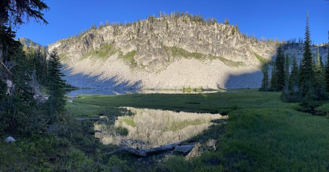
At the fork go to Cached Lake, 45.1188, -117.3674, rather than Eagle Lake
Go past the lake to about 45.1209, -117.3684. There will be a faint path leading off to the right.
From here the path comes and goes a bit, but navigate to the saddle at 45.1283, -117.3577.
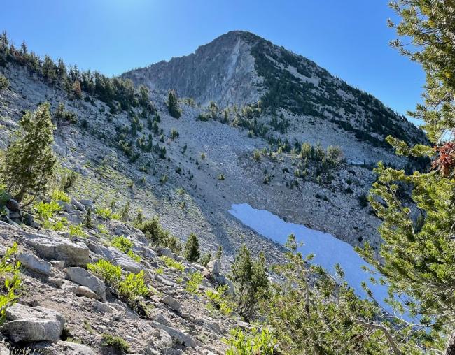
From there it is pretty much straight up to the top. There are some paths through the low brush in some places and the slope is pretty loose in others.
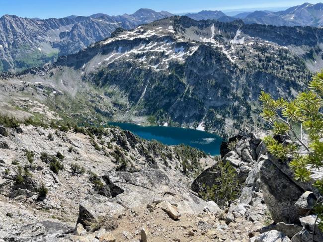
Views from the top were spectacular.
My story:
22 years prior to this activation I climbed this summit with some of my whitewater friends as a diversion on the way to run the Hell’s Canyon section of the Snake river in our canoes. We did the summit as an over night backpack. Since I first started activating peaks I wanted to return here and activate this one, especially, since it had not been activated, and I knew it was an accessible summit. The best time to be in the Wallowas was in the Fall. Times have changed. I planed this trip twice in September, but each time it was too smoky to go. So I moved it up this year to the end of July. The weather was good, but the early season meant mosquitoes. They were not too bad, but a definite nuisance.
This time I went with my friend Spencer, KJ7STM, and we did it as a two night backpack. We planned two other summits, but were rocked out on both of them, using the path I had planned. Trouble with 40’ topos is they don’t show 20’ walls of rock. It took us two attempts to get up Needle Point. Our first attempt included a trail that shows up on CalTopo, but isn’t there. We graded around and found the boot track described above, but it was too late for a summit push, so we deferred to the next morning.
We camped the first night at Cached Lake and the second at Arrow Lake. Our attempt at the summit above Arrow lake got us to with 150 vertical feet of the summit before we were unable to proceed to the top. Guess we’ll have to go back and try another route.
Total hiking for the our lollipop route, Needle Point, and failed attempts was 25 miles and 8000’ of elevation gain.


