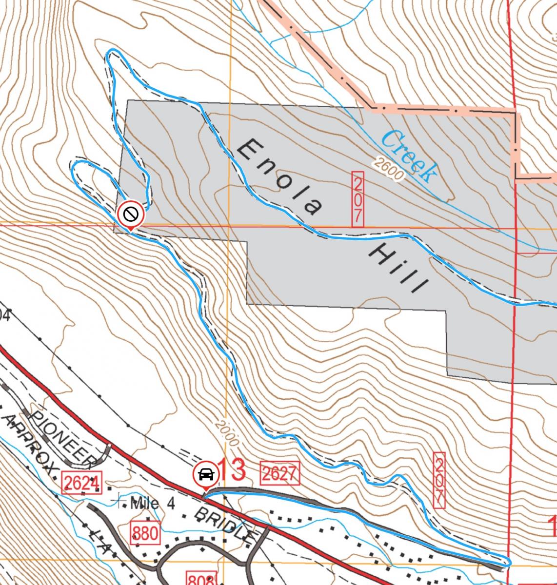
Blogs

AE7AP's picture

Yogo Peak, MT | September, 2023

Summit: 
W7M/NF-002

Drive Up – True Summit is 459 Feet from Vehicle, +23 ft

Driving Directions

AE7AP's picture

Big Baldy, MT | September, 2023

Summit: 
W7M/NF-001

1.3 miles, +1,083 ft

Driving Directions

W7MTB's picture

Pine Ridge, OR | October 2023

Summit: 
W7O/CE-208

Pine Ridge is an easy to moderate hike along a double track and easy bush wacking. Any passenger car should be able to navigate to the place we parked and many would likely have no trouble driving further up the 2 track if desired. We had plenty of activity on 2M and I wouldn't expect any trouble activating 2M only. The views of the Grasslands and Central Oregon Cascades are fantastic and the solitude is remarkable for the ease of access.

Full Report here

KF7SEY's picture

2280, Or | March 2022

Summit: 
W7O/CC-091

Approach is the same as http://www.pnwsota.org/blog/kf7sey/2023-september-29/green-mountain-or-march-2022

continue down the road 1.5 miles turn left here: (44.76156350370385, -123.6659815609456) continue to summit.

KF7SEY's picture

Little Grass Mountain, Or | May 2021

Summit: 
W7O/CC-019

Start at Green Mountain Rd off of Logsden Rd.  44.687697924471465, -123.62803059856984

KF7SEY's picture

Green Mountain, Or | March 2022

Summit: 
W7O/CC-015

Start at Green Mountain Rd off of Logsden Rd.  44.687697924471465, -123.62803059856984

Follow this road for 7 miles to: (44.756485187050004, -123.64030749612313) park here to start your hike.

K7AMM's picture

4946, OR | September 2023

Summit: 
W7O/CN-083

This summit is best accessed via FR 4610, running east from the La Dee Flat OHV area. A high clearance vehicle with all-terrain tires is recommended, as the road is quite rocky and subject to rock slides and debris from steep hillsides.

K7AMM's picture

4869, OR | September 2023

Summit: 
W7O/CN-087

This summit is best accessed via FR 4610, running east from the La Dee Flat OHV area. A high clearance vehicle with all-terrain tires is recommended, as the road is quite rocky and subject to rock slides and debris from steep hillsides.

Start on the game trail just east of the turnout at 45.21254, -121.98528, and follow the ridge to the top. It's a fairly easy bushwhack, with a steady climb of 423' over 0.75 miles.

KI7EMX's picture

China Mountain | September 2023

Summit: 
W7N/EN-060

This Nevada peak was first activated on 29 November 2021 by KJ7WGM along with Hanks Peak. This is a very straight forward ½-mile hike with only 287 feet of elevation gain.  Follow the ridge line from where you park and head to a false summit.  You can walk over the summit or skirt around it on the south (recommended). The summit is very rocky and today was extremely windy.  I was able to find a rock outcropping that protected me from the wind on the NW side of the summit.

KI7EMX's picture

Hanks Peak, Nevada | September 2023

Summit: 
W7N/EN-070

This is one of those activations that I will most likely not repeat! The peak was first activated on 29 November 2021 by KJ7WGM along with China Mountain. The hike is a bushwhack of only .35 miles, but with 627 feet of elevation gain, half of which is through a boulder field and thick brush.